Elevation of W County Rd N, Connersville, IN, USA
Location: United States > Indiana > Fayette County > Connersville Township > Connersville >
Longitude: -85.180514
Latitude: 39.686937
Elevation: 305m / 1001feet
Barometric Pressure: 98KPa
Elevation Map:
Satellite Map:
Related Photos:

Postcard Mural in Cambridge City, Indiana

Mary Gray Bird Sanctuary

Connersville High School Gym - The Spartan Bowl

Huddleston Farmhouse - Southeast view

Huddleston Farmhouse - View from the South

Cambridge City's New Library
Tower View
Mary Gray Bird Sanctuary
Mary Gray Bird Sanctuary

Flooding in Wayne County, Indiana
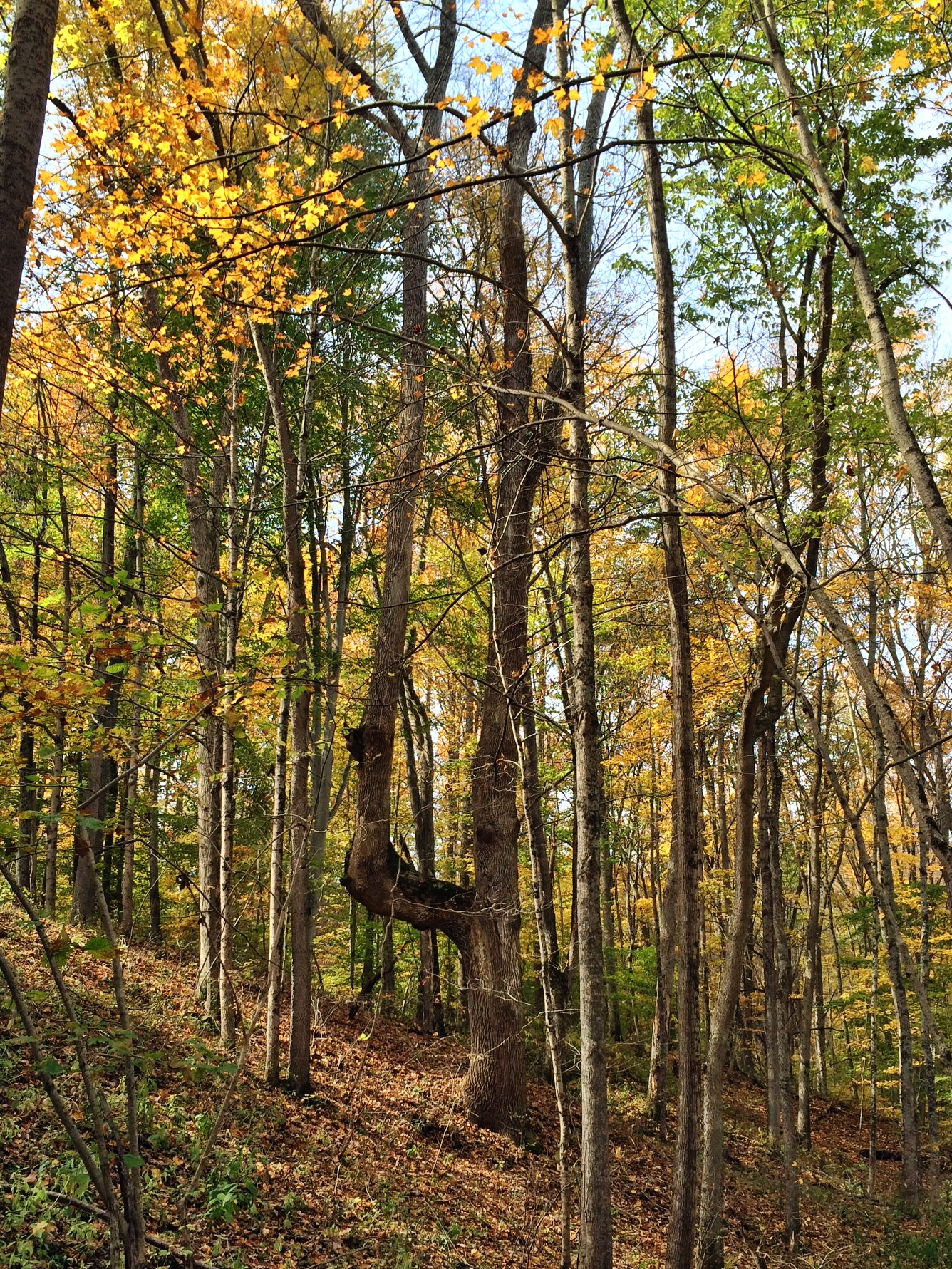
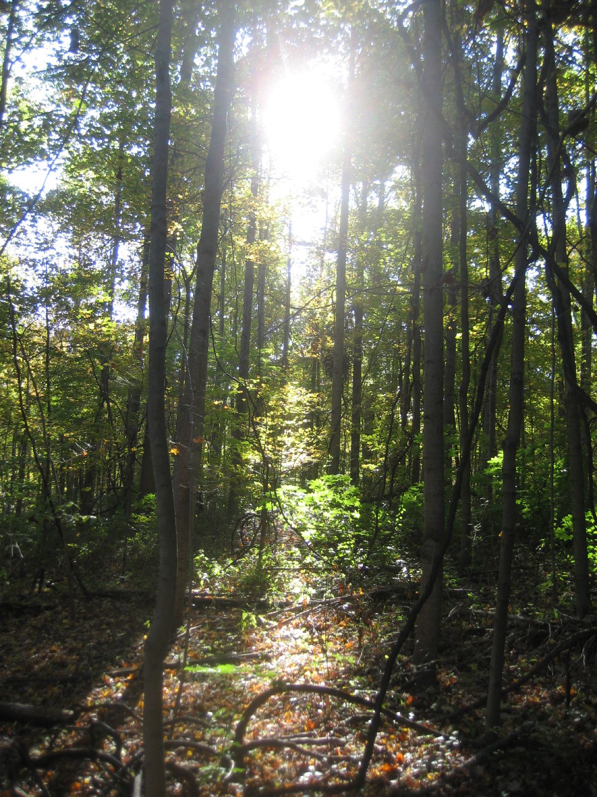
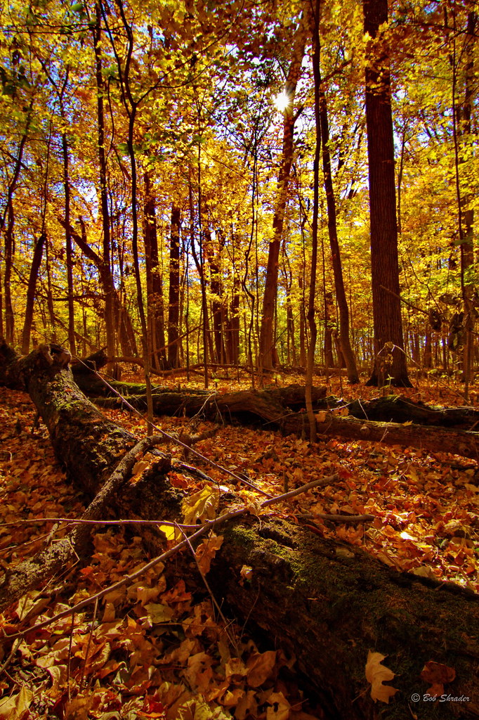
The Strongest Tree In The Forest
panofarm-
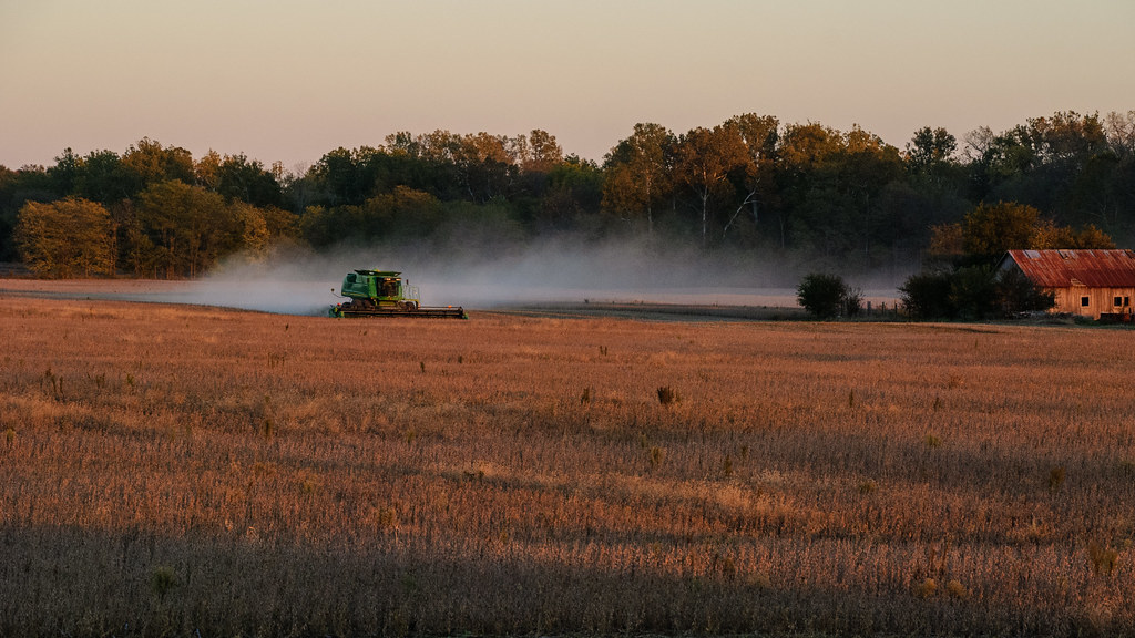
Combining Soybeans at Sunset
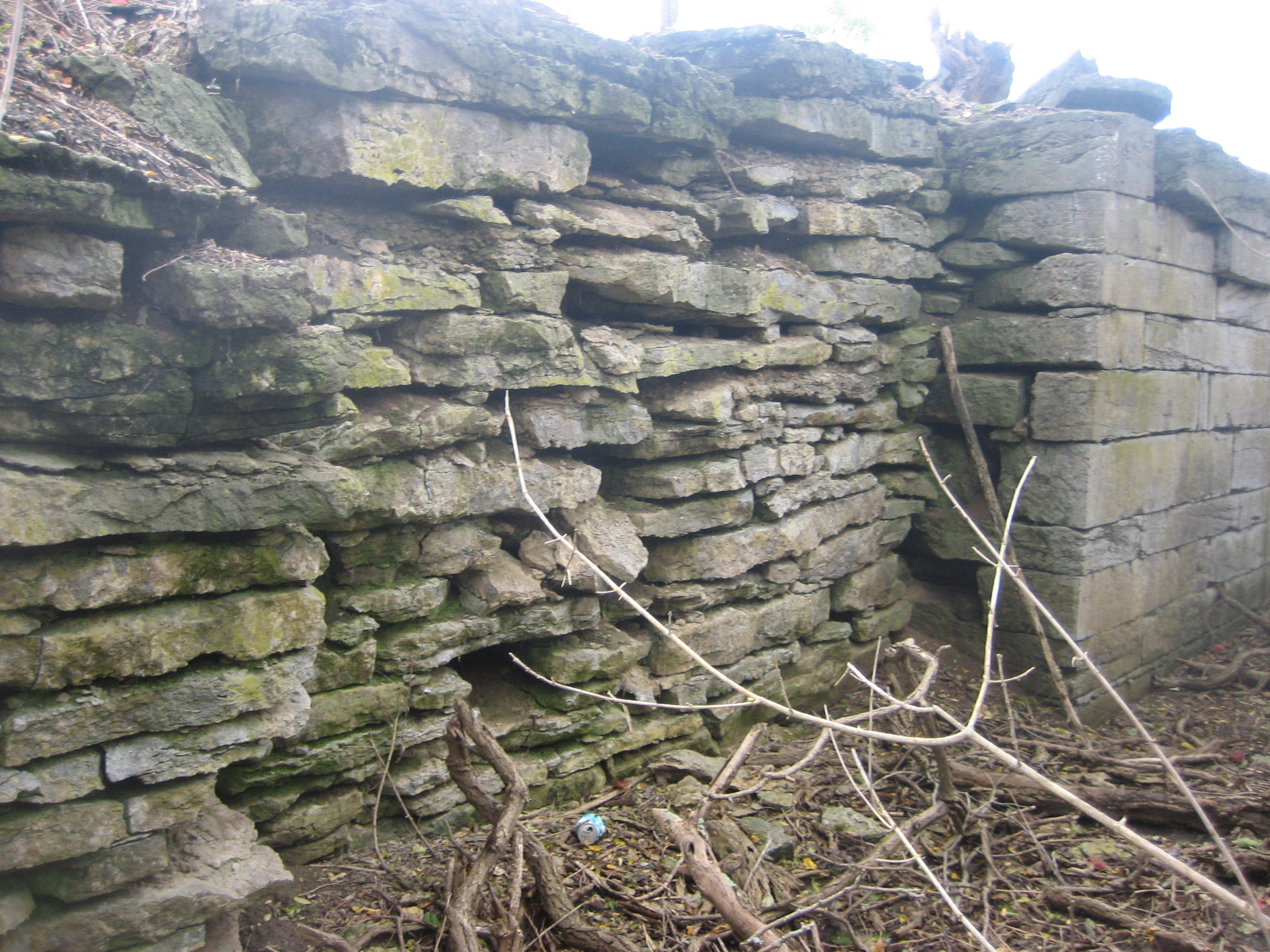
Lock 34 - Conwell
Mary Gray Bird Sanctuary
Mary Gray Bird Sanctuary
Mary Gray Bird Sanctuary
150 E, Connersville, IN

Daybreak In The Field
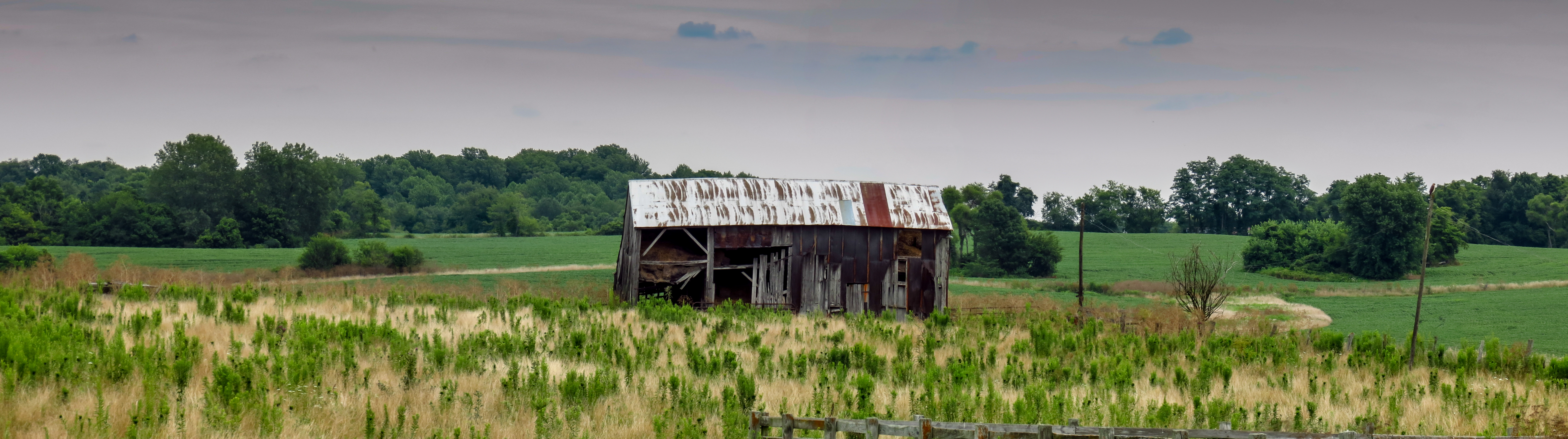
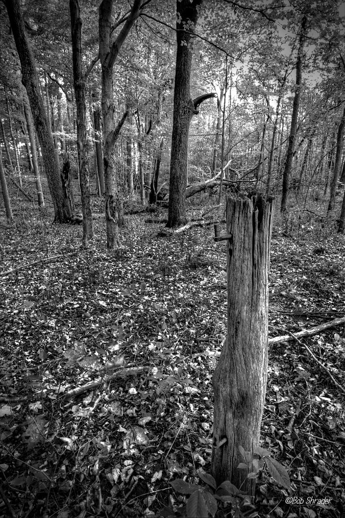
Weathered and Wise
In The Fall
Boundary Removed
Where the wild things are.
I'll take you there.
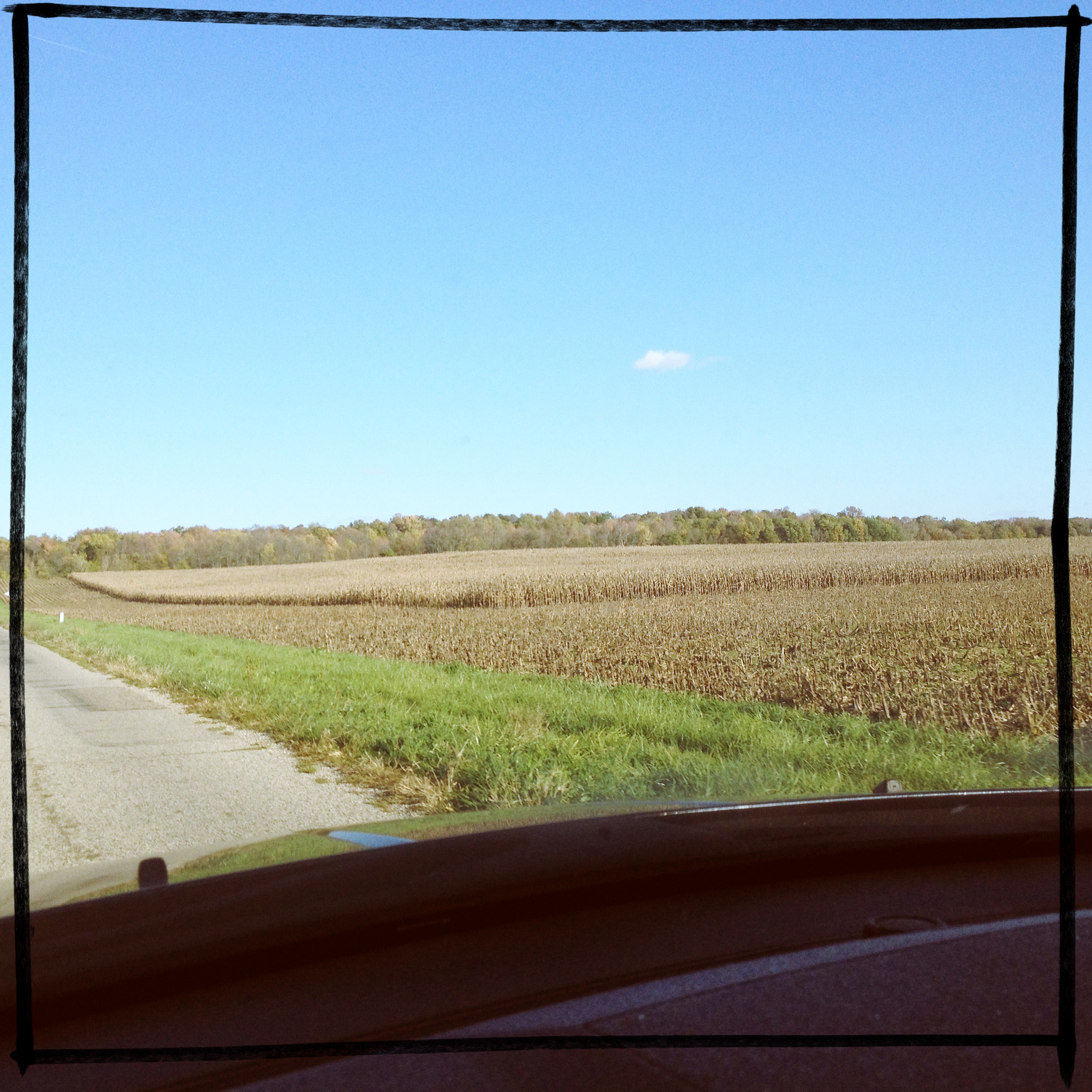
Fall fields
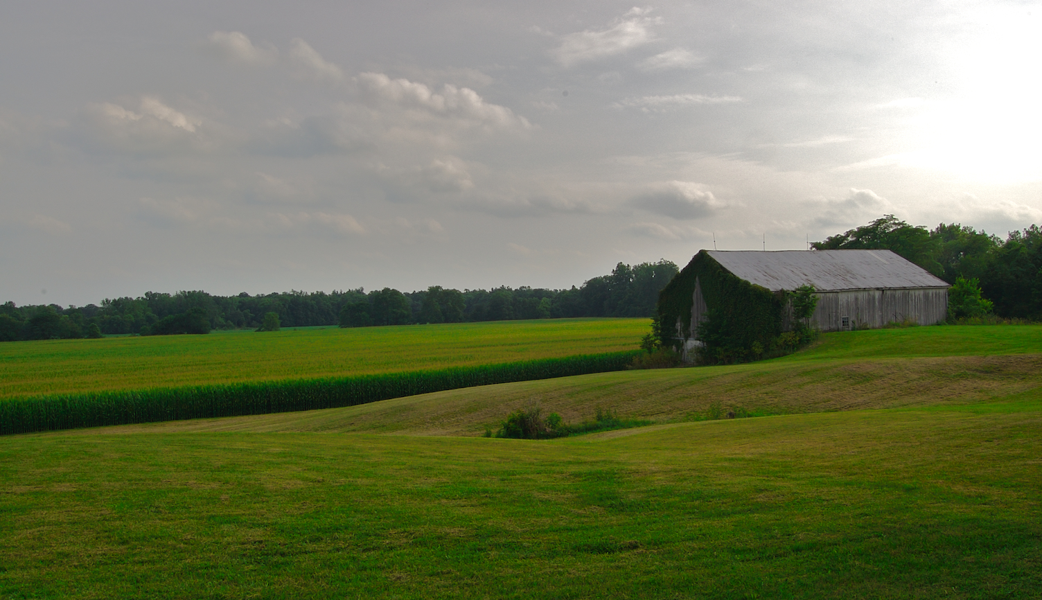
Hamilton Farm
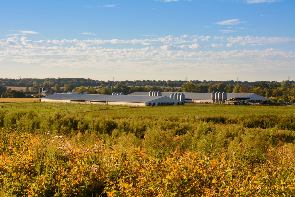
Confinement Barns

Bright Blue Morning
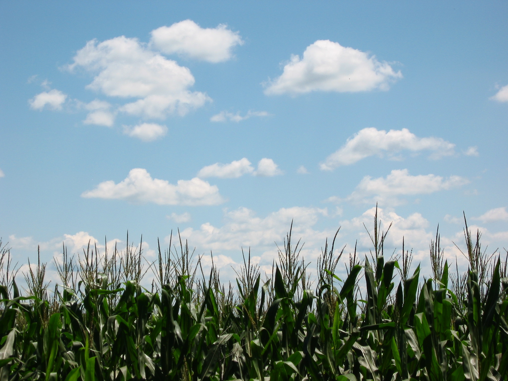
Indiana Field and Sky

Sun Sets Over a Western Wayne County Farm
Topographic Map of W County Rd N, Connersville, IN, USA
Find elevation by address:

Places near W County Rd N, Connersville, IN, USA:
Harrison Township
N Co Rd W, Connersville, IN, USA
2809 N Eby Dr
400 Sunset Ave
W Co Rd 75 N, Connersville, IN, USA
Whitaker Dr, Milton, IN, USA
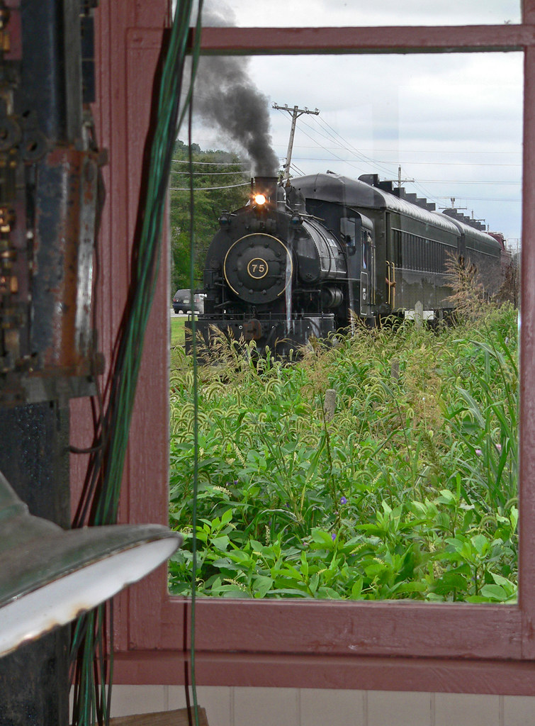
Whitewater Valley Railroad
Market St, Connersville, IN, USA
Connersville
Connersville Township
N Co Rd E, Connersville, IN, USA
Waterloo Township
Fayette County
Columbia Township
Jackson Township
5100 S Co Rd 460 W
S Baldwin St, Connersville, IN, USA
IN-1, Connersville, IN, USA
Noble Township
Recent Searches:
- Elevation of Corso Fratelli Cairoli, 35, Macerata MC, Italy
- Elevation of Tallevast Rd, Sarasota, FL, USA
- Elevation of 4th St E, Sonoma, CA, USA
- Elevation of Black Hollow Rd, Pennsdale, PA, USA
- Elevation of Oakland Ave, Williamsport, PA, USA
- Elevation of Pedrógão Grande, Portugal
- Elevation of Klee Dr, Martinsburg, WV, USA
- Elevation of Via Roma, Pieranica CR, Italy
- Elevation of Tavkvetili Mountain, Georgia
- Elevation of Hartfords Bluff Cir, Mt Pleasant, SC, USA