Elevation of Harrison Township, IN, USA

Location: United States > Indiana > Fayette County >

Longitude: -85.179040

Latitude: 39.6860361

Elevation: 307m / 1007feet

Barometric Pressure: 98KPa

Elevation Map:

elevation map of Harrison Township, IN, USA

Satellite Map:

Satellite map of Harrison Township, IN, USA

Related Photos:

champion gyms
Connersville High School Gym - The Spartan Bowl
farm indiana places communities traveler waynecounty huddleston nationalroad cambridgecity waynet
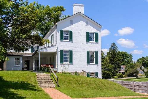
Huddleston Farmhouse - Southeast view
farm indiana places communities traveler waynecounty huddleston nationalroad cambridgecity waynet
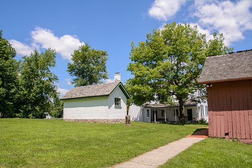
Huddleston Farmhouse - View from the South
building library indiana waynecounty waynecountyindiana cambridgecity
Cambridge City's New Library
county art mural postcard wayne indiana publicart waynecounty cambridgecity
Postcard Mural in Cambridge City, Indiana
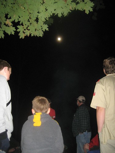
children indiana bsa
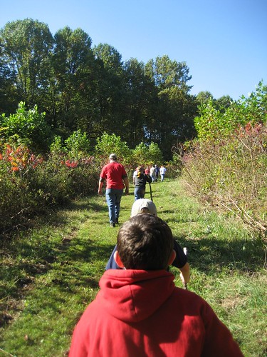
Mary Gray Bird Sanctuary
indiana
Mary Gray Bird Sanctuary
indiana bsa
Mary Gray Bird Sanctuary
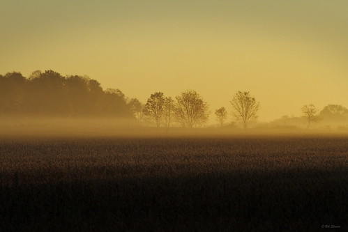
indiana daybreak morningmist coldmorning morningglow canon7d fayettecountyindiana
Daybreak In The Field
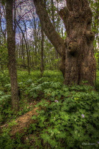
indiana oldgrowthforest shraderweaverwoods shraderweavernaturepreserve lazedithweaver shadokachrcom
Weathered and Wise
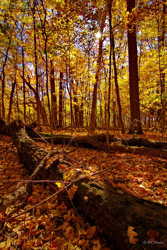
woods indiana tokina1224 oldgrowthforest thenatureconservancy canon7d shraderweaverwoods shraderweavernaturepreserve
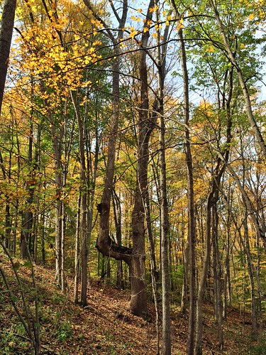
In The Fall
usa indiana oldgrowthforest ruralindiana shraderweavernaturepreserve shadowcatchergallerycom
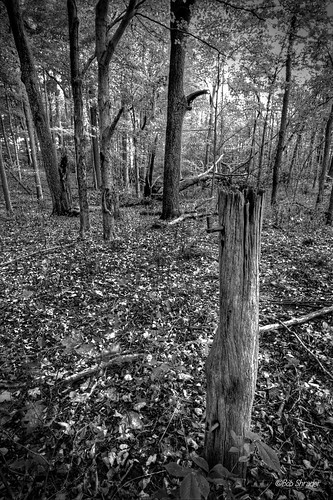
Boundary Removed
indiana skunkcabbage virginforest goldenragwort canon7d shadokachr shraderweaverwoods theshraderweavernaturepreserve
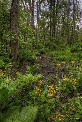
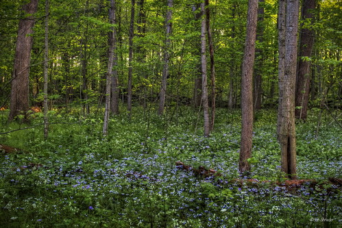
Where the wild things are.
usa indiana wildflowers thenatureconservancy canon7d shraderweavernaturepreserve explore37071412
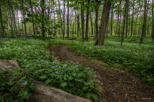
I'll take you there.
hipstamatic
Fall fields
waynecounty waynecountyindiana cambridgecity flooding tonylombardi
Flooding in Wayne County, Indiana
Hamilton Farm
autumn fall nature october indiana naturepreserve 2014 in marygraybirdsanctuary moschell
The Strongest Tree In The Forest
indiana waynecounty photobyjane holmanphotoscom holmanphotography
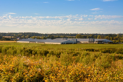
Confinement Barns
usa indiana natureconservancy oldgrowthforest canon7d shadokachr shraderweaverwoods shraderweavernaturepreserve lazedithweaver
Bright Blue Morning
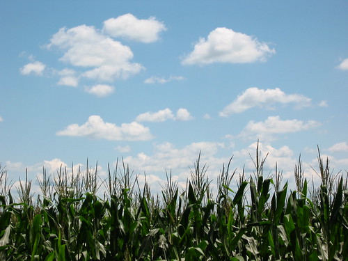
reunion day cloudy indiana gardner
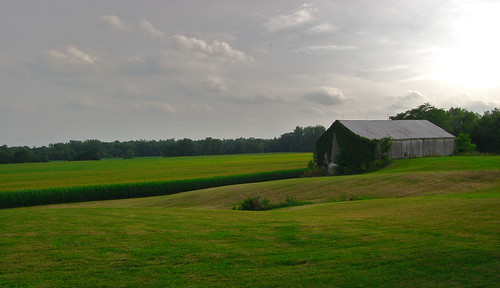
Indiana Field and Sky
panofarm-
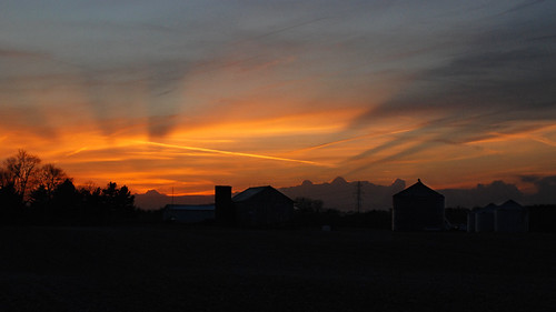
sunset barn rural geotagged farm indiana silo milton waynecounty waynecountyindiana geo:lat=39766556 geo:lon=85052558
Sun Sets Over a Western Wayne County Farm
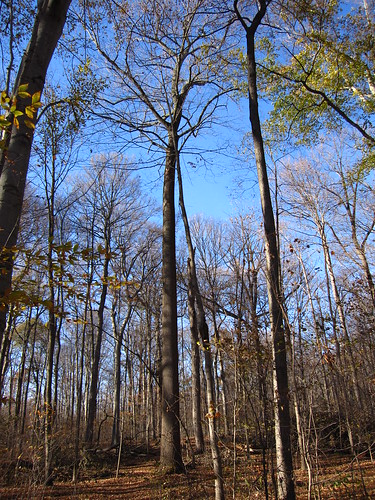
oldgrowthforest shraderweaverwoods
Shrader-Weaver Woods
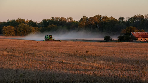
county rural john farm wayne indiana combine milton deere johndeere soybeans waynecounty
Combining Soybeans at Sunset
canal whitewater
Lock 34 - Conwell
indiana
Mary Gray Bird Sanctuary
field rural farm indiana geolocation waynecounty waynet geocity geocountry camera:make=nikoncorporation exif:make=nikoncorporation geostate exif:aperture=ƒ11 exif:lens=1802700mmf3563 camera:model=nikond7100 exif:model=nikond7100 exif:focallength=30mm exif:isospeed=320 geo:lon=85098380555555 geo:lat=39751611111112
Farmstead in southern Wayne County, Indiana
indiana
Mary Gray Bird Sanctuary