Elevation of W Bayou Ln, Port Sulphur, LA, USA
Location: United States > Louisiana > Plaquemines Parish > > Port Sulphur >
Longitude: -89.886796
Latitude: 29.5581303
Elevation: 1m / 3feet
Barometric Pressure: 101KPa
Elevation Map:
Satellite Map:
Related Photos:

Gray Flycatcher (Empidonax wrightii) - Louisiana
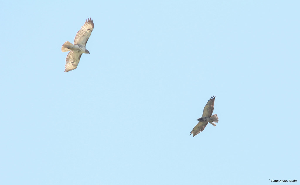
Swainson's Hawk (right) - Louisiana

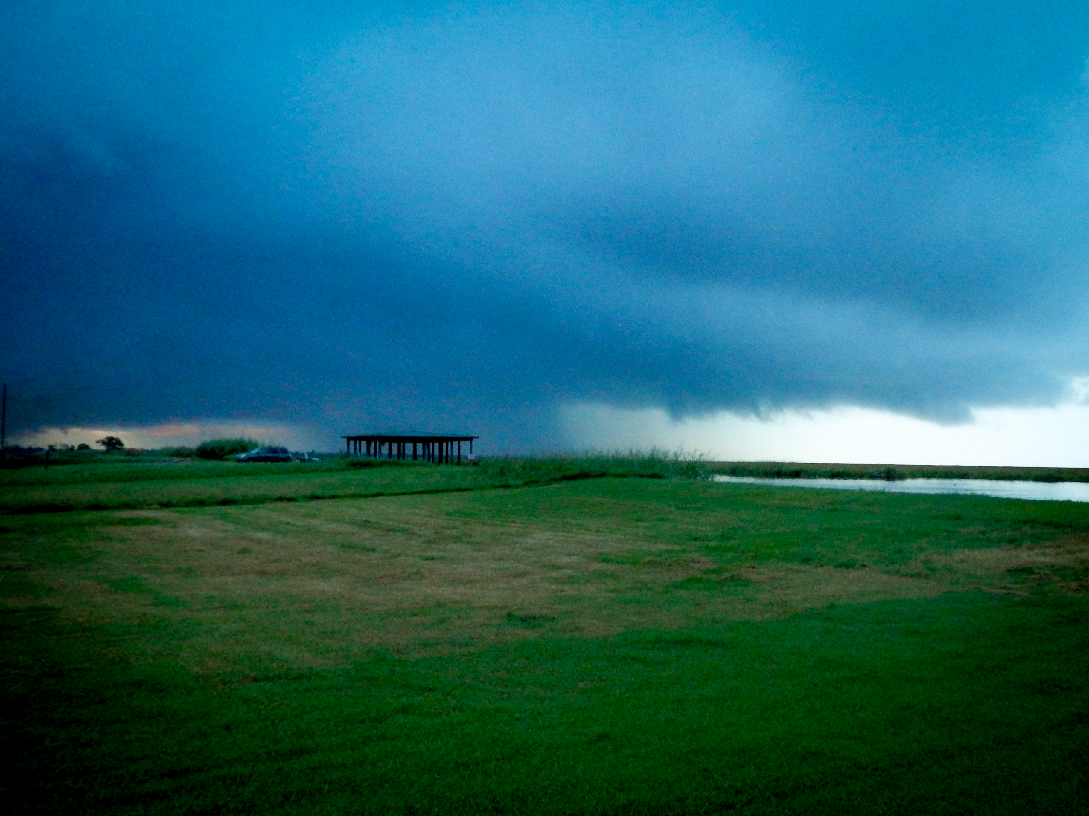
GRN–Flooded Kinder Morgan IMT, NW view

GRN–Flooded Kinder Morgan IMT, N. view

Scissor-tailed Flycatcher - Louisiana

Broad-winged Hawk - Louisiana

Yellow-headed Blackbirds (Xanthocephalus xanthocephalus) - Louisiana

River Traffic on the Mississippi

Gulf Coast Travels

Gulf Coast Travels

Gulf Coast Travels

Gulf Coast Travels

Gulf Coast Travels

Gulf Coast Travels

Gulf Coast Travels

DSCN2397.jpg
DSCN2407.jpg

IMG_3780 IMT pre pumping diversion from treatment

United Bulk

Kinder Morgan IMT, Port Sulphur, Louisiana

Woodland Plantation, West Pointe a la Hache, LA

Kinder Morgan IMT, Port Sulphur, Louisiana

IMG_3859 IMT leaking black water

IMG_3476 alliance with no woods RAM property is flooded

WETLAND CREATION IN WEST BAY, LOUISIANA

Lake Hermitage marsh creation for Magnolia oilfield restoration

bayou-hermitage-coal-stal-restoration-flickr-7124

bayou-hermitage-coal-stal-restoration-flickr-7174

IMG_3859 NRC 1023151
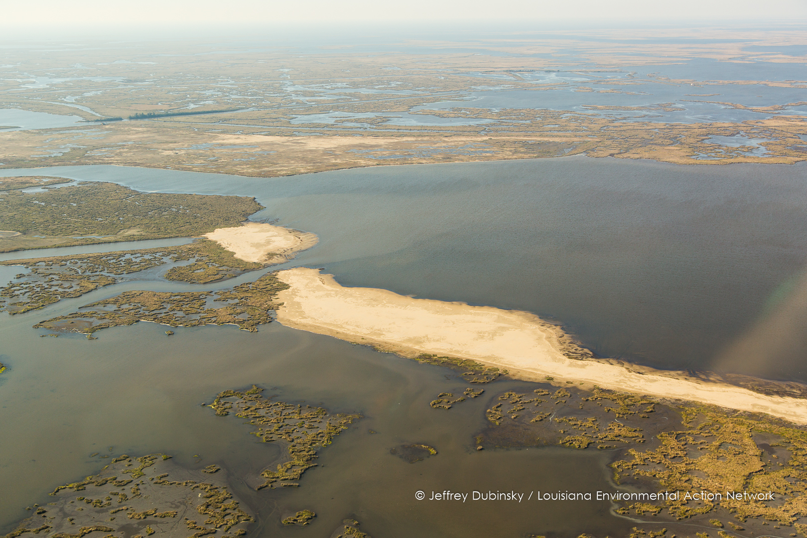
WETLAND CREATION IN WEST BAY, LOUISIANA

WETLAND CREATION IN WEST BAY, LOUISIANA

United Bulk Terminals (UBT) Plaquemines Parish, Louisiana

ubt-lean-tulane-southwings-0810
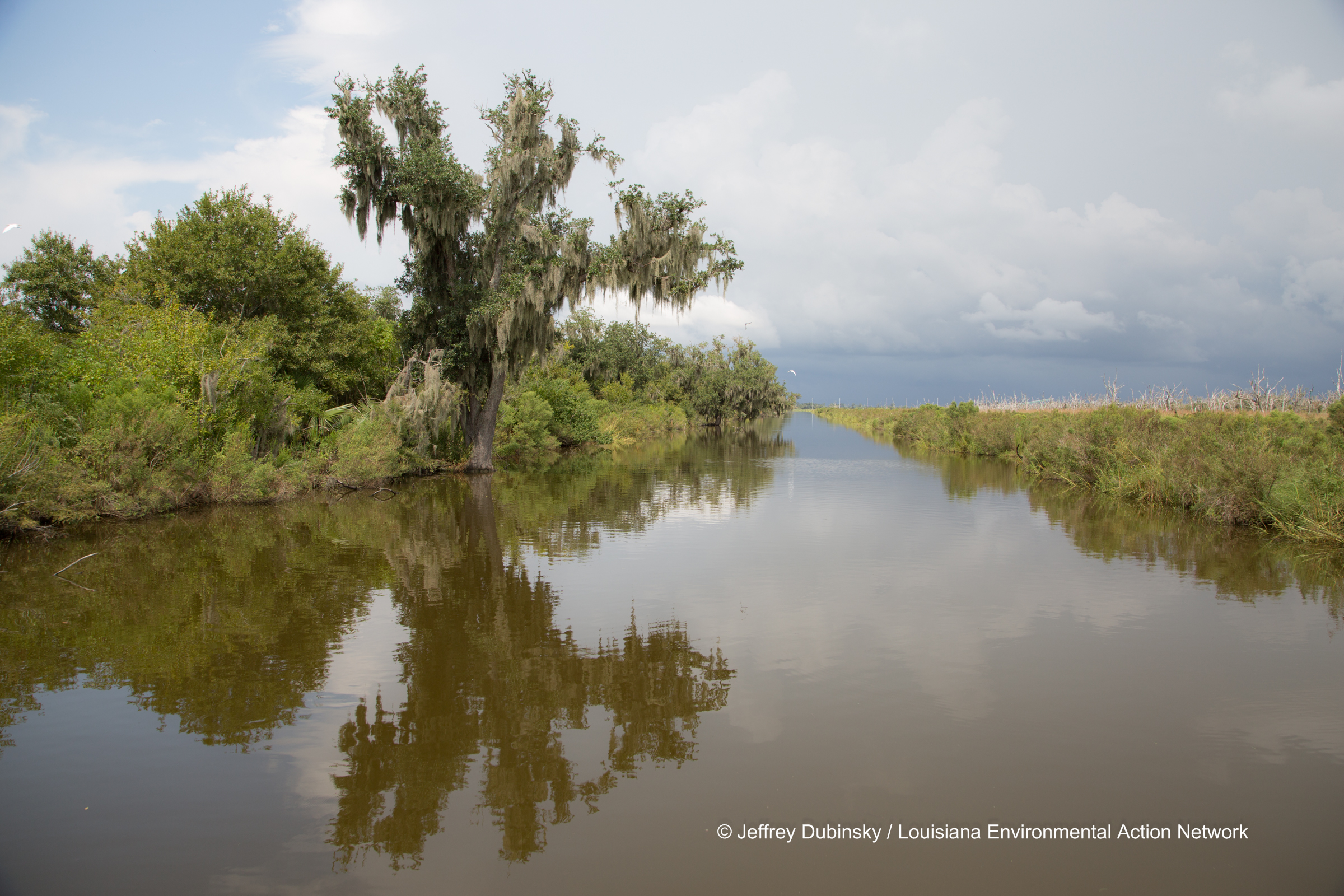
bayou-hermitage-coal-stal-restoration-flickr-7395
Topographic Map of W Bayou Ln, Port Sulphur, LA, USA
Find elevation by address:

Places near W Bayou Ln, Port Sulphur, LA, USA:
Ansardi Ln, Braithwaite, LA, USA
Bradish St, Port Sulphur, LA, USA
Ironton
LA-39, Braithwaite, LA, USA
Braithwaite
116 St Ann St
406 Dr Gorman Dr
312 Oak Tree Rd
Saint Bernard
Poydras
Belle Chasse
2404 Meadowlark Dr
3, LA, USA
Bayou Rd, St Bernard, LA, USA
38 Woodchase Ct
197 Evangeline Trce
2501 S Lake Blvd
110 Schlief Dr
108 Schlief Dr
English Turn Rd, Braithwaite, LA, USA
Recent Searches:
- Elevation of Corso Fratelli Cairoli, 35, Macerata MC, Italy
- Elevation of Tallevast Rd, Sarasota, FL, USA
- Elevation of 4th St E, Sonoma, CA, USA
- Elevation of Black Hollow Rd, Pennsdale, PA, USA
- Elevation of Oakland Ave, Williamsport, PA, USA
- Elevation of Pedrógão Grande, Portugal
- Elevation of Klee Dr, Martinsburg, WV, USA
- Elevation of Via Roma, Pieranica CR, Italy
- Elevation of Tavkvetili Mountain, Georgia
- Elevation of Hartfords Bluff Cir, Mt Pleasant, SC, USA