Elevation of 6, LA, USA
Location: United States > Louisiana > Plaquemines Parish >
Longitude: -89.775533
Latitude: 29.3248469
Elevation: 0m / 0feet
Barometric Pressure: 101KPa
Elevation Map:
Satellite Map:
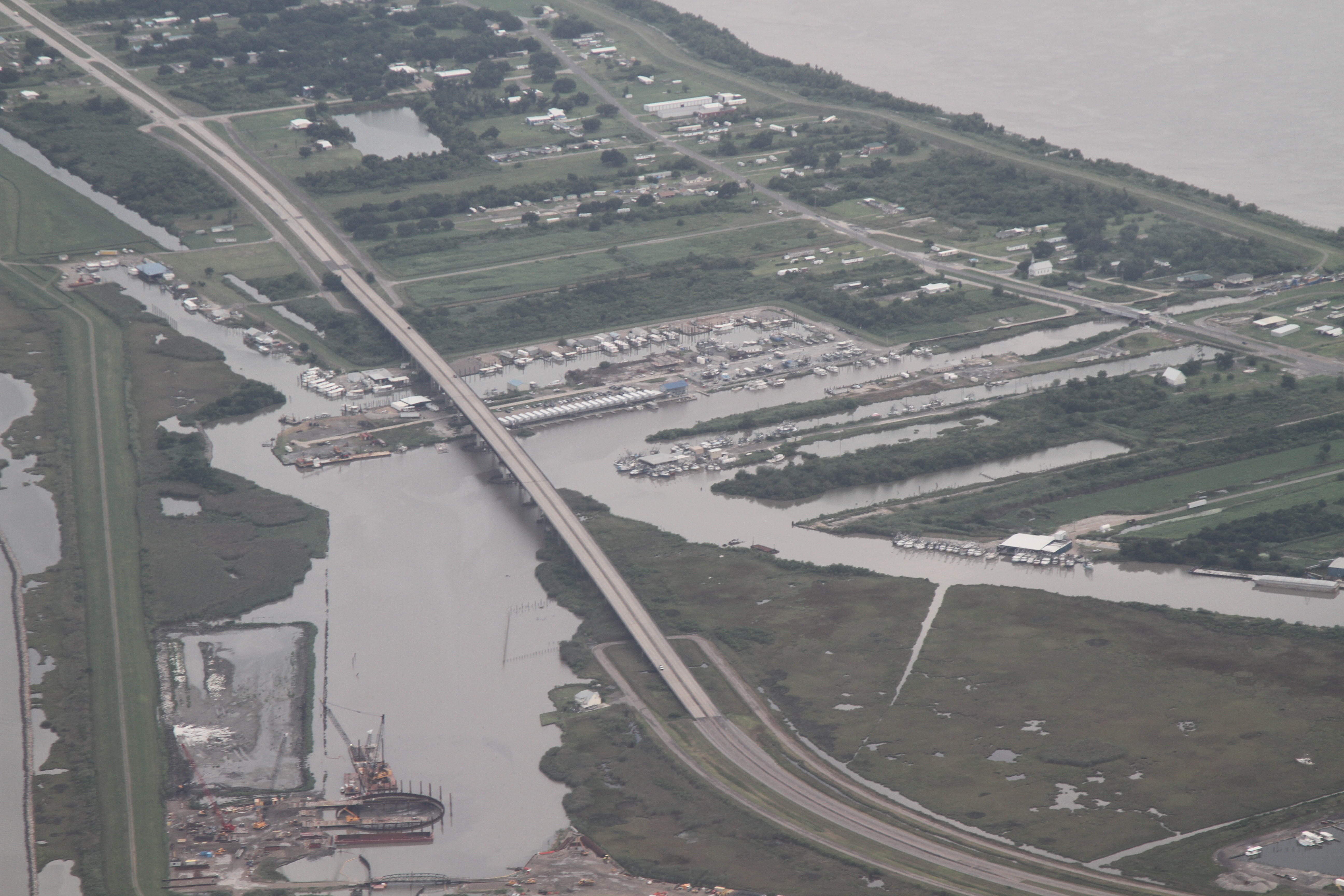
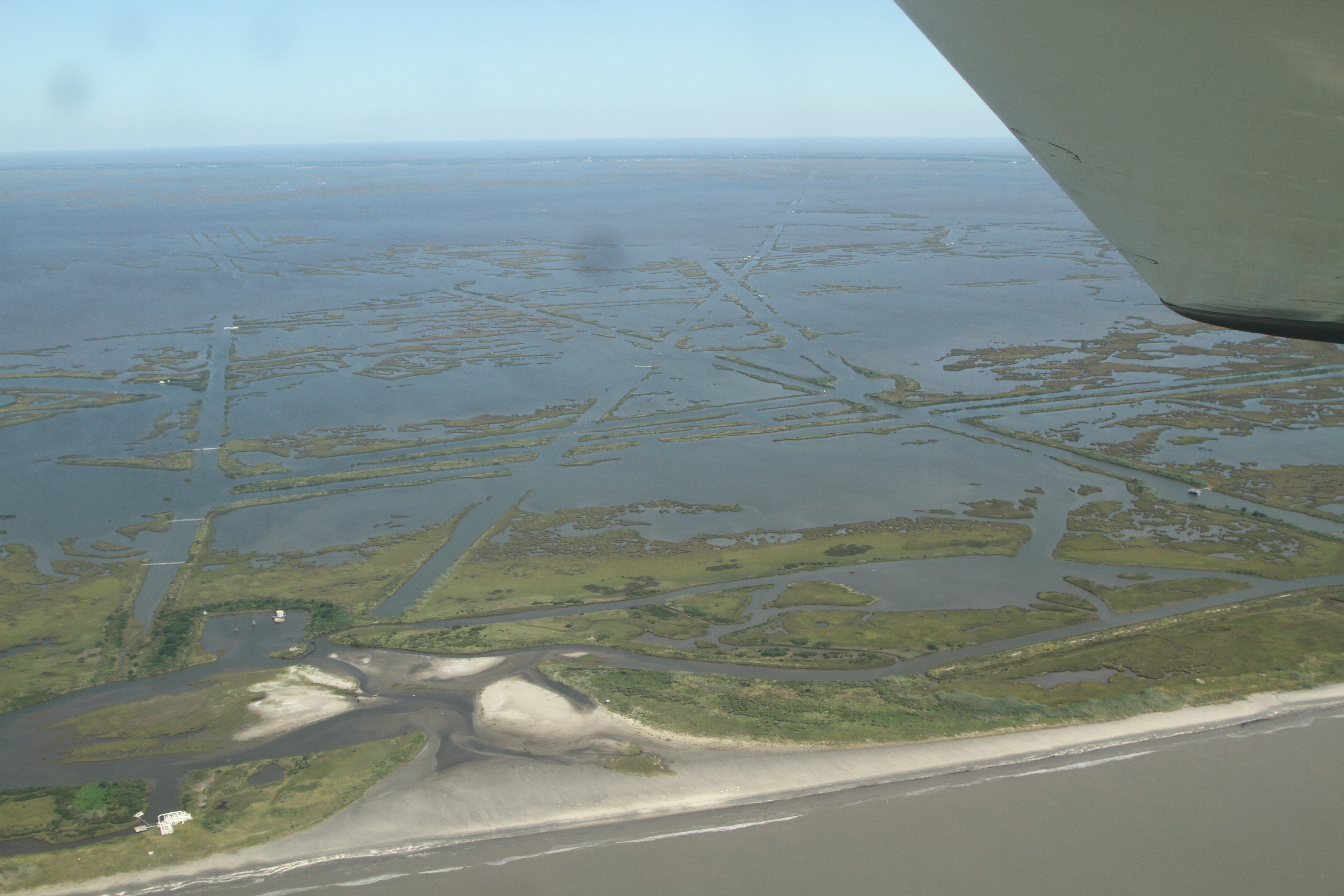
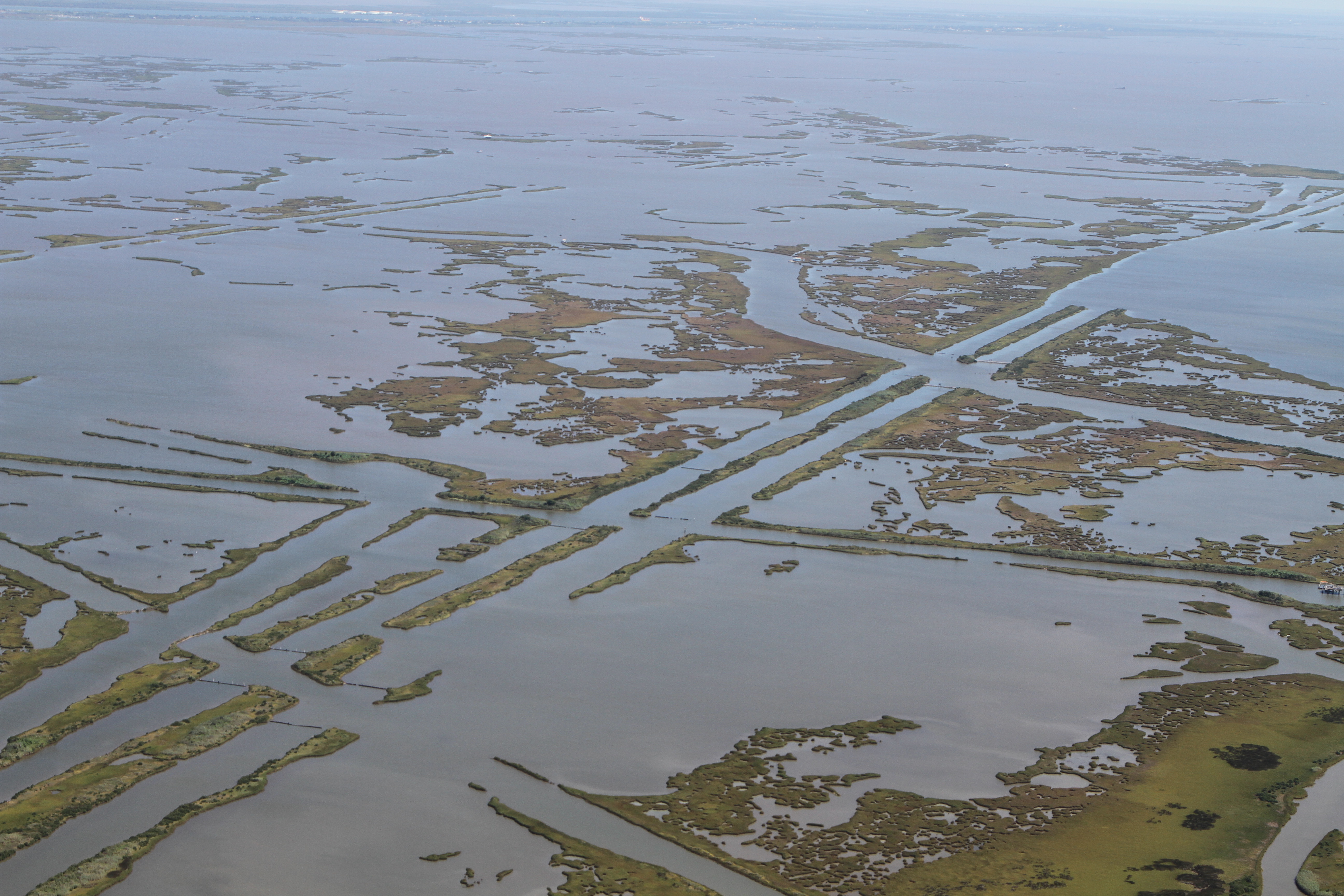
Related Photos:

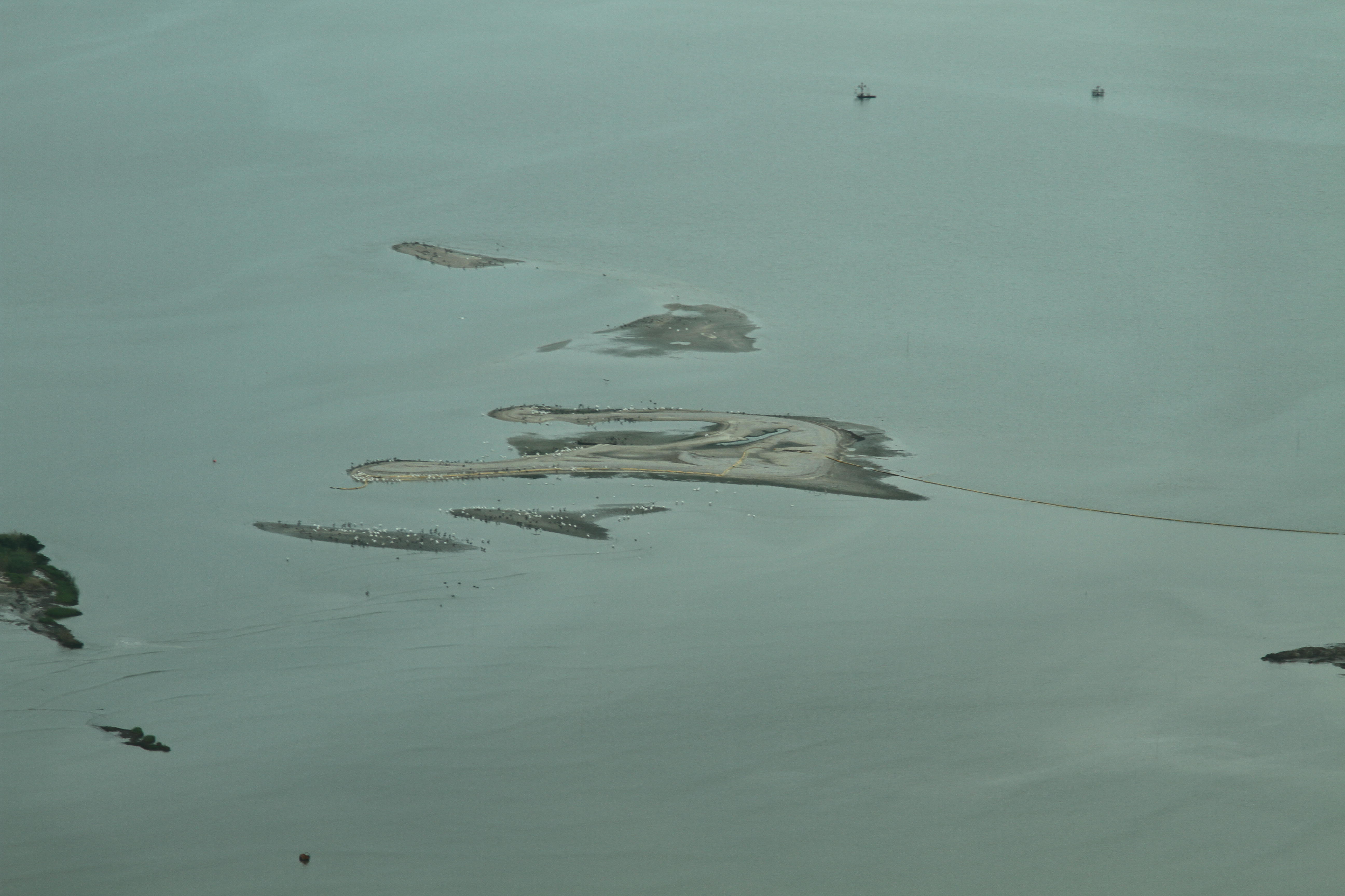
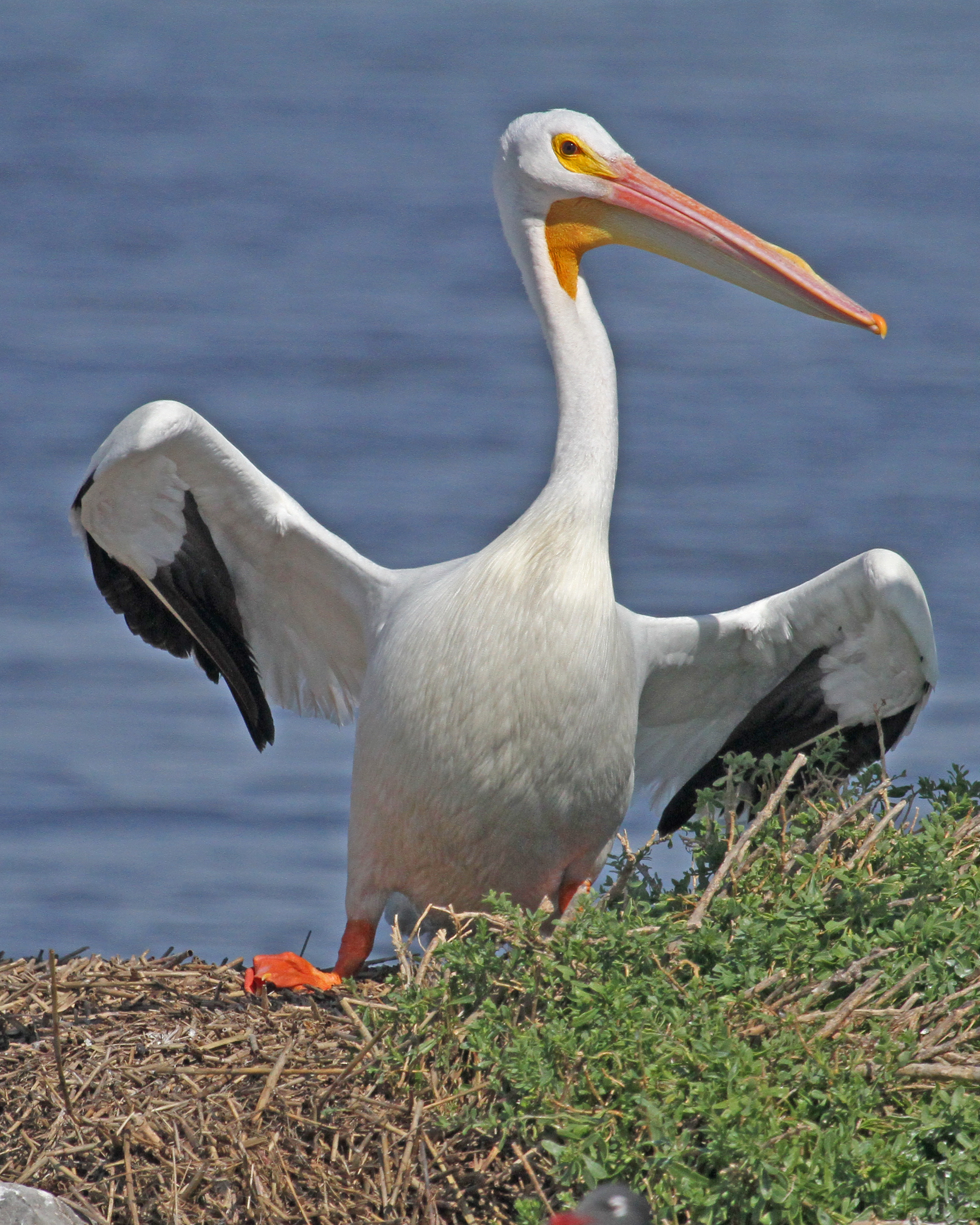
White pelicans on new island spit
IMG_8995 restoration dune island east shell
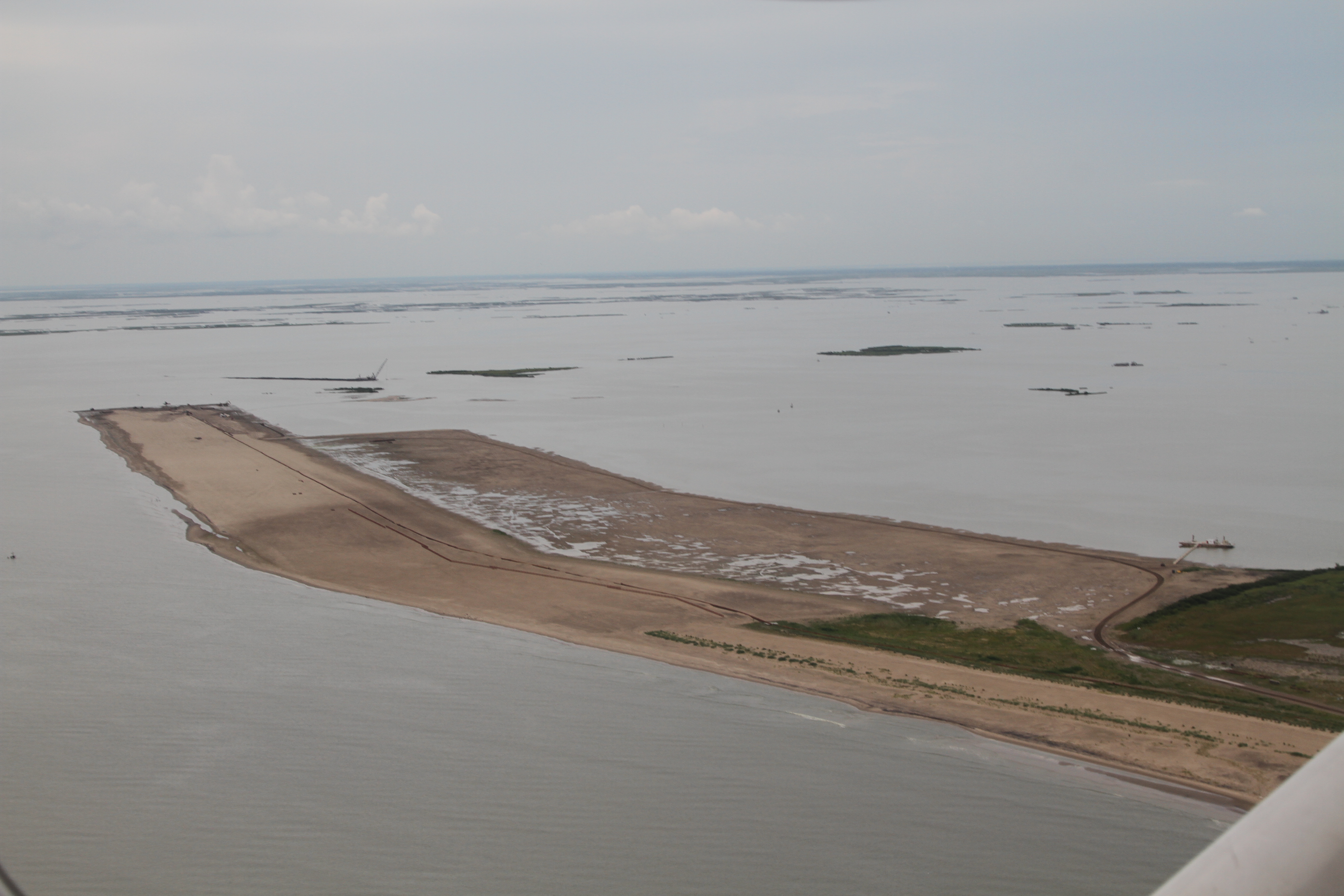
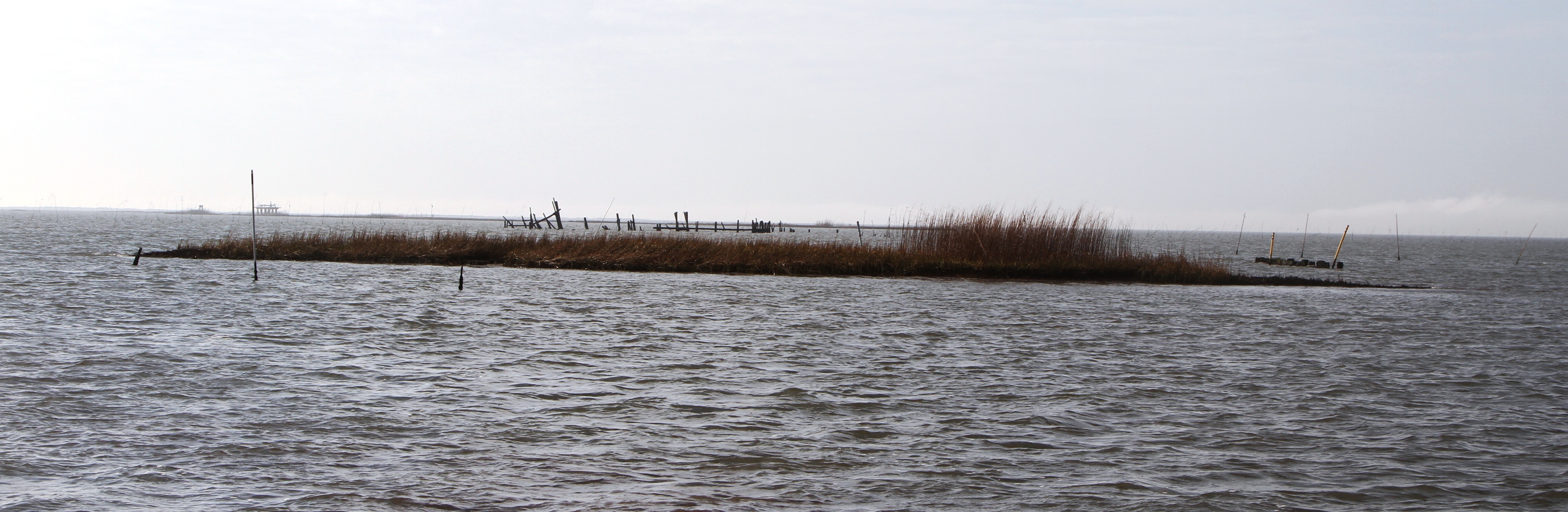
looking at a 2010 sand berm converted into a barrier island

IMG_4637 grand bayou and new orleans skyline
IMG_9003 east shell island

IMG_9008 east shell island restoration dune bird habitat
IMG_9014 wading birds wait their tern restoration east shell island dune
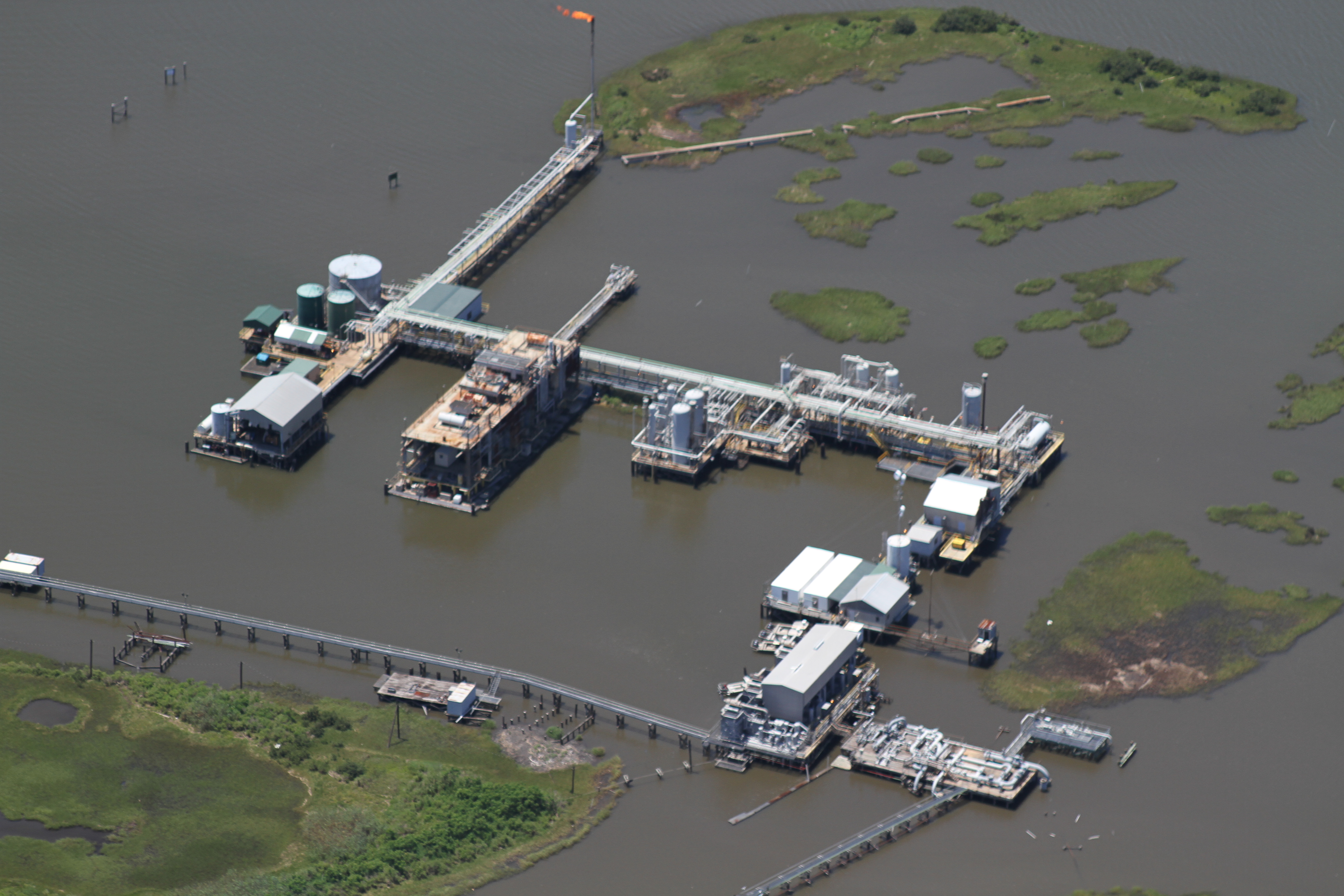
IMG_4648 flaring platform
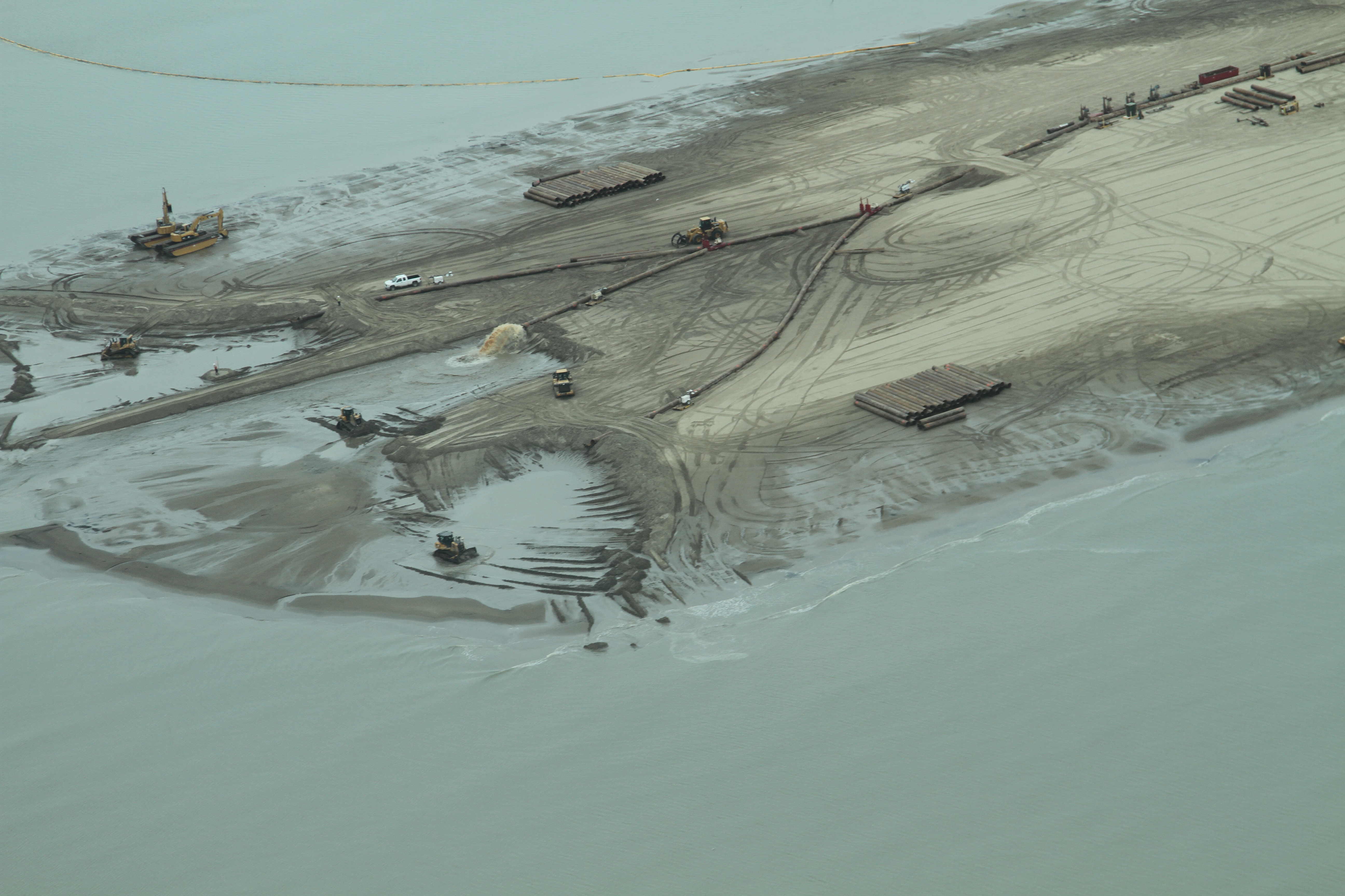
IMG_0654 fringe marsh creation restoration
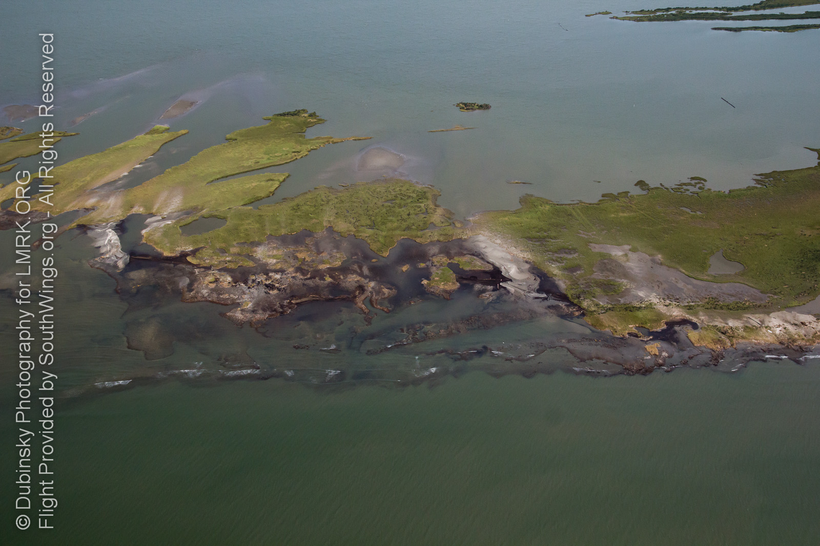
IMG_1365 destruction
IMG_1370 destrouction
American White Pelican-IMG_9080_1
what's left
spartina roots

Jonathan tells tales

back bay roots and shells
lmrk-sw-s-la-0012

lmrk-sw-s-la-0016
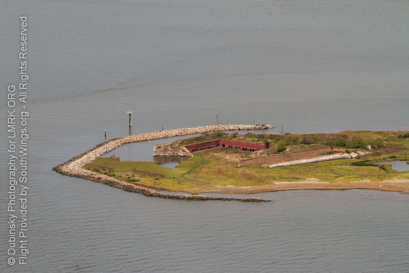
Fort Livingston, Grand Terre Island
lmrk-sw-s-la-0504

lmrk-sw-s-la-0507
Topographic Map of 6, LA, USA
Find elevation by address:

Places in 6, LA, USA:
Places near 6, LA, USA:
7, LA, USA
Port Sulphur, LA, USA
329 Milan Dr
329 Milan Dr
Caroline Ave, Port Sulphur, LA, USA
Hwy 11, Port Sulphur, LA, USA
Port Sulphur
26715 La-23
Saltgrass Outdoors
Empire
LA-23, Port Sulphur, LA, USA
25998 La-23
8, LA, USA
25999 La-23
Louisiana 23
Hwy 11, Buras, LA, USA
123 Marlin Ln
192 Walnut Ln
185 Tropical Landing Ln
133 Palm St
Recent Searches:
- Elevation of Corso Fratelli Cairoli, 35, Macerata MC, Italy
- Elevation of Tallevast Rd, Sarasota, FL, USA
- Elevation of 4th St E, Sonoma, CA, USA
- Elevation of Black Hollow Rd, Pennsdale, PA, USA
- Elevation of Oakland Ave, Williamsport, PA, USA
- Elevation of Pedrógão Grande, Portugal
- Elevation of Klee Dr, Martinsburg, WV, USA
- Elevation of Via Roma, Pieranica CR, Italy
- Elevation of Tavkvetili Mountain, Georgia
- Elevation of Hartfords Bluff Cir, Mt Pleasant, SC, USA