Elevation of W B St, Newton, NC, USA
Location: United States > North Carolina > Catawba County > Newton > Newton >
Longitude: -81.226108
Latitude: 35.6630033
Elevation: 294m / 965feet
Barometric Pressure: 98KPa
Elevation Map:
Satellite Map:
Related Photos:

Cabin in the Woods

Dark-eyed Junco-GHMP-3875

Grace Union Church

Kylie //

Kylie - Portrait //

Kylie - Portrait //

Kylie - Portrait //

Lauryn - Portrait //

Lone Tree in Fog

Sunset through the Weeds

Christmas Tree
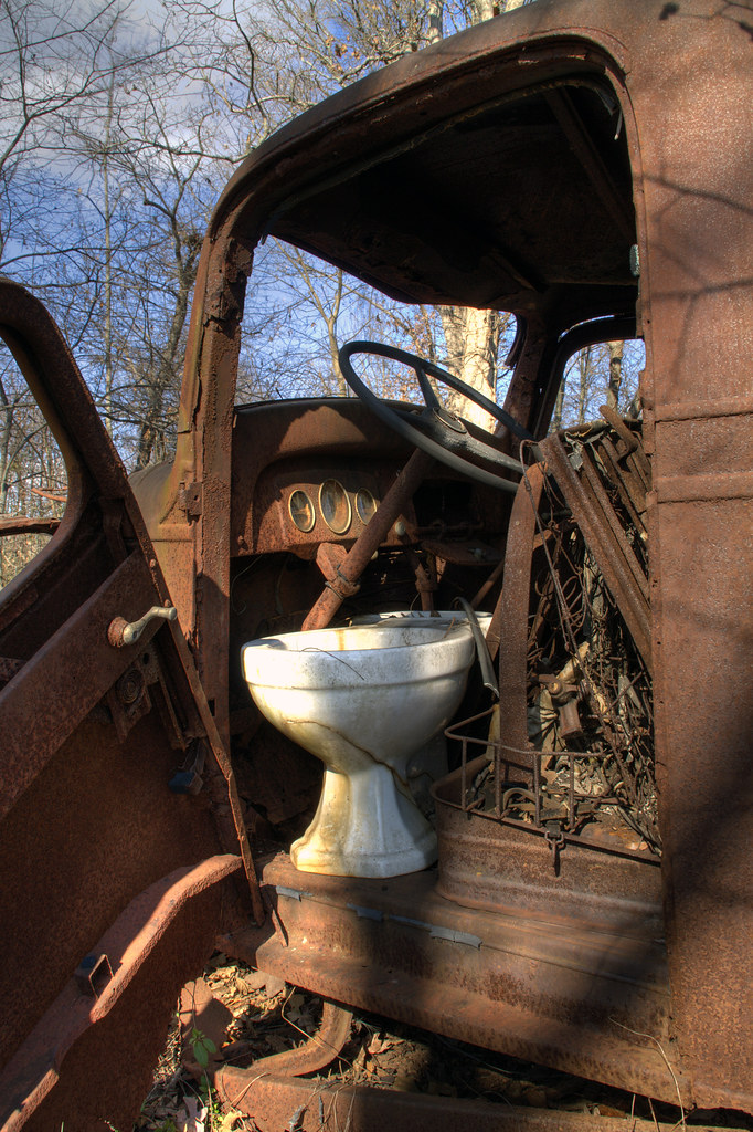
Toilet Included

Indian Summer
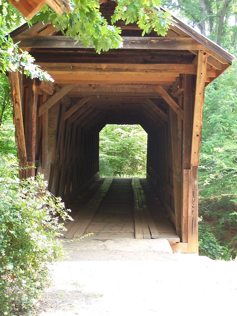
The Bridge

Pond Panorama
Straight Ahead

Open Octagon

Now and Then

Closer Look: Mill Pond

Shady Eye

Sunny Ferns

Hobo Highway #2 11/52

Sunset at the Scrap Pile

Murray's Mill

hay rolls

Morning on the farm

Murray's Mill

Hobo Highway

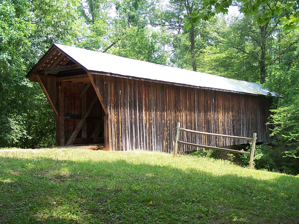
Bunker Hill Covered Bridge 2

Bunker Hill Covered Bridge 2

Retired Huey

Field of Dreams?
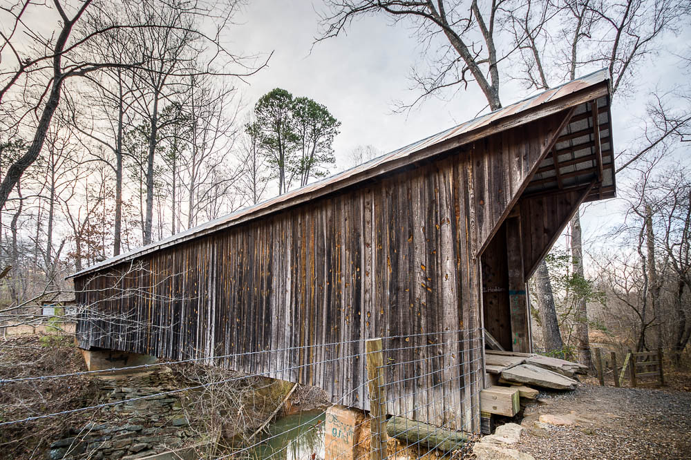
Bunker Hill Covered Bridge 3

Catawba County Sunset

Barn and Broomstraw

Jessica and Maddie

Bridge to Terabithia

Bunker Hill Covered Bridge 1

Rolling Hills

Rolling Hills
Topographic Map of W B St, Newton, NC, USA
Find elevation by address:

Places near W B St, Newton, NC, USA:
320 W C St
Newton
N Main Ave, Newton, NC, USA
Newton
821 Woodson Dr
Eastern Catawba Cooperative Christian Ministry, Inc.
East N Street
East N Street
East N Street
1330 Southwest Blvd
1839 Old Latter Rd
2601 N Brushwood Cir
Prison Camp Rd, Newton, NC, USA
Hardwood Circle
3389 Robinson Rd
1154 Country Club Rd
Maiden
5005 Brickfield St
4085 Biggerstaff Rd
Blackburn
Recent Searches:
- Elevation of Corso Fratelli Cairoli, 35, Macerata MC, Italy
- Elevation of Tallevast Rd, Sarasota, FL, USA
- Elevation of 4th St E, Sonoma, CA, USA
- Elevation of Black Hollow Rd, Pennsdale, PA, USA
- Elevation of Oakland Ave, Williamsport, PA, USA
- Elevation of Pedrógão Grande, Portugal
- Elevation of Klee Dr, Martinsburg, WV, USA
- Elevation of Via Roma, Pieranica CR, Italy
- Elevation of Tavkvetili Mountain, Georgia
- Elevation of Hartfords Bluff Cir, Mt Pleasant, SC, USA