Elevation of Catawba County, NC, USA
Location: United States > North Carolina >
Longitude: -81.251883
Latitude: 35.6840748
Elevation: 274m / 899feet
Barometric Pressure: 98KPa
Elevation Map:
Satellite Map:
Related Photos:

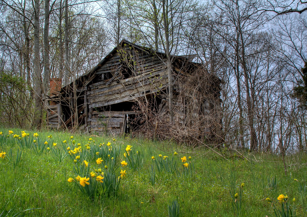
Cabin in the Woods

Grace Union Church
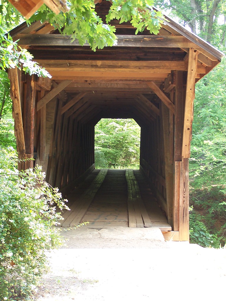
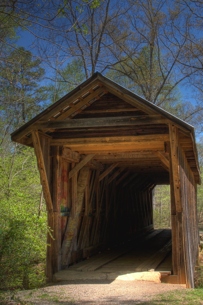
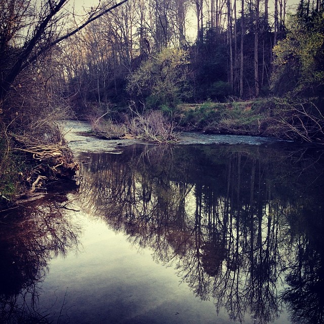
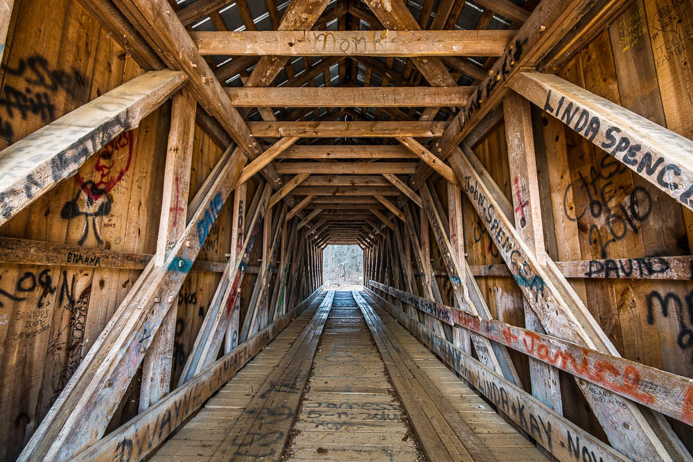
The Bridge
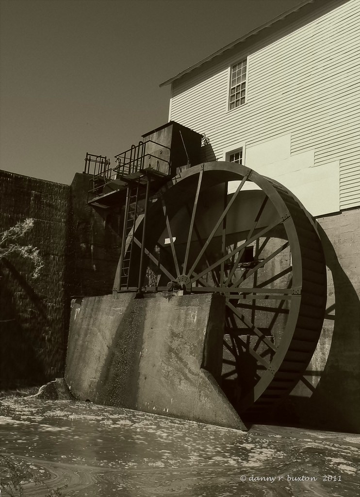
Murray Mill Water Wheel 85/365
Straight Ahead
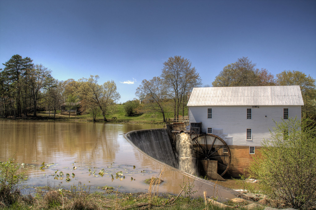
Murray's Mill

Murray's Mill Farmhouse
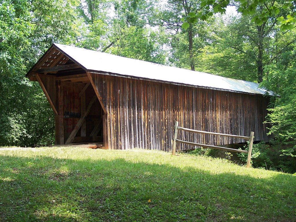
Bunker Hill Covered Bridge
Bunker Hill Covered Bridge
Christmas Tree
Still Growing...
I had the opportunity and honor of having this view this evening...first time in ~3 yrs. #thankful #audienceofone

CUMC_9-9-2010-019
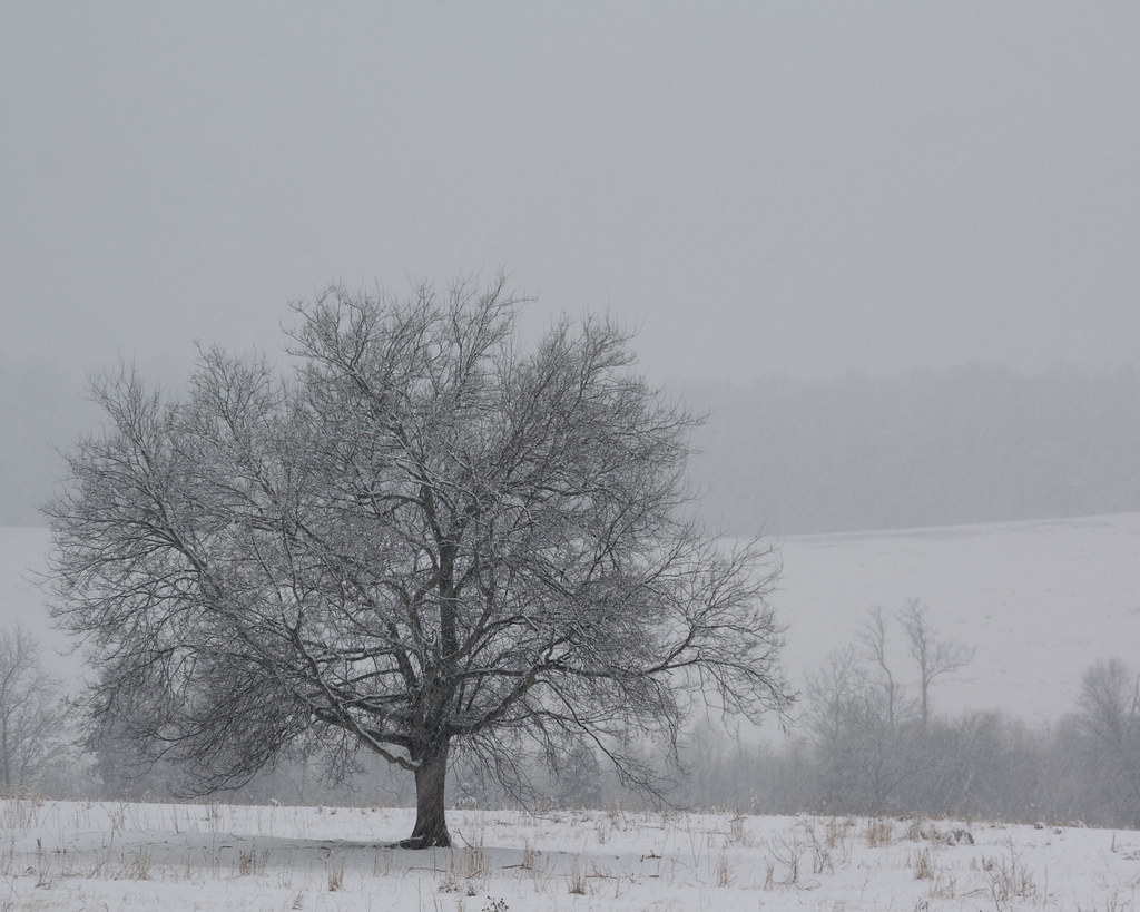
Lone Tree in Fog

CUMC_9-9-2010-018

Indian Summer

11-22-2009-52
Foggy Pasture
Dr. Foard's "Medicine" Tower
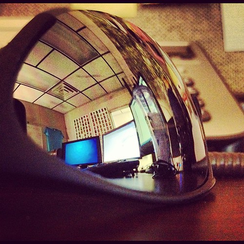
My office from a different view. #technology #tech #catawbacounty

CUMC_9-9-2010-016

Murray's Mill

Retired Huey
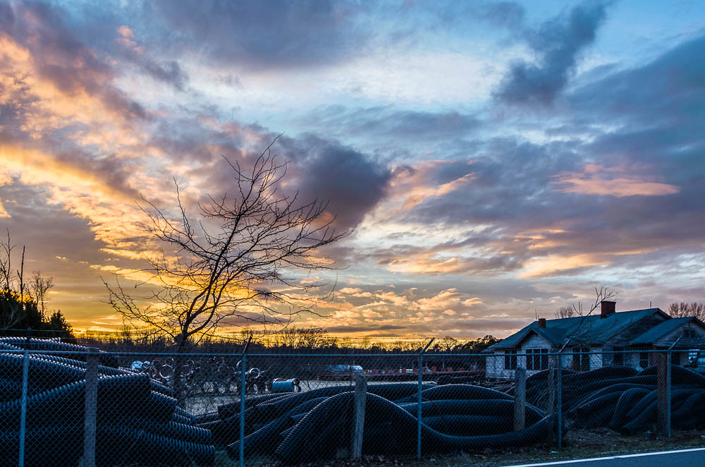
Sunset at the Scrap Pile
Went on a trail through the woods down behind my house and this is where the trail ended
Nothing like a freshly cut yard. #itsaguything

Nothing like a freshly cut yard. #itsaguything

Beautiful day at the @hickorycrawdads game w/ @cindyyountlc86, @shelaeveridge, and Miss Lil #catawbacounty #nc #baseball
Bunker Hill Covered Bridge 2

Hobo Highway #2 11/52

Hobo Highway
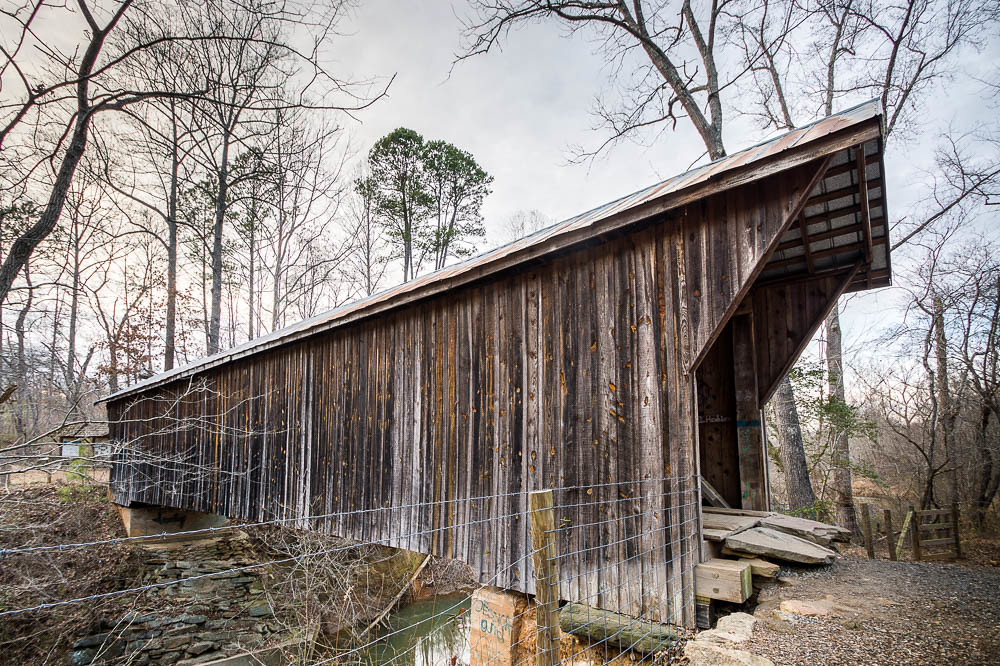
Bunker Hill Covered Bridge 3
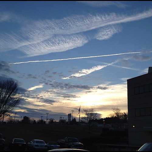
This morning's sky

Field of Dreams?

Sunset~Hickory, North Carolina

Tonight's Sunset 8/12/2010
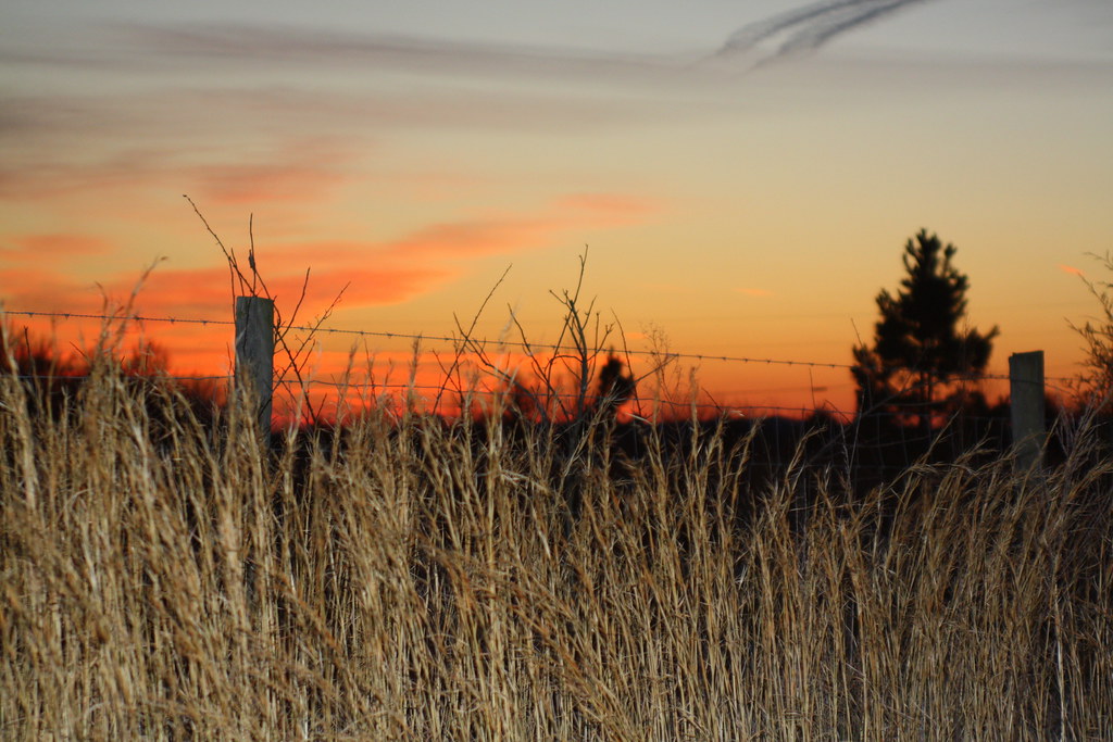
Catawba County Sunset
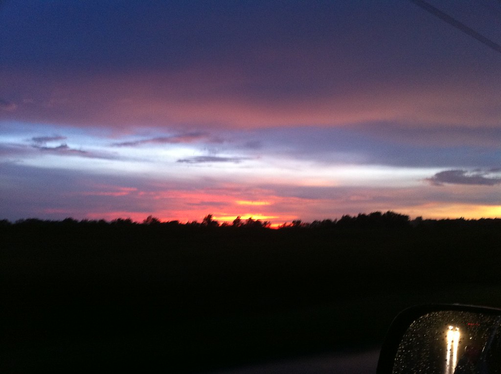
Tonight's Sunset in Newton, NC
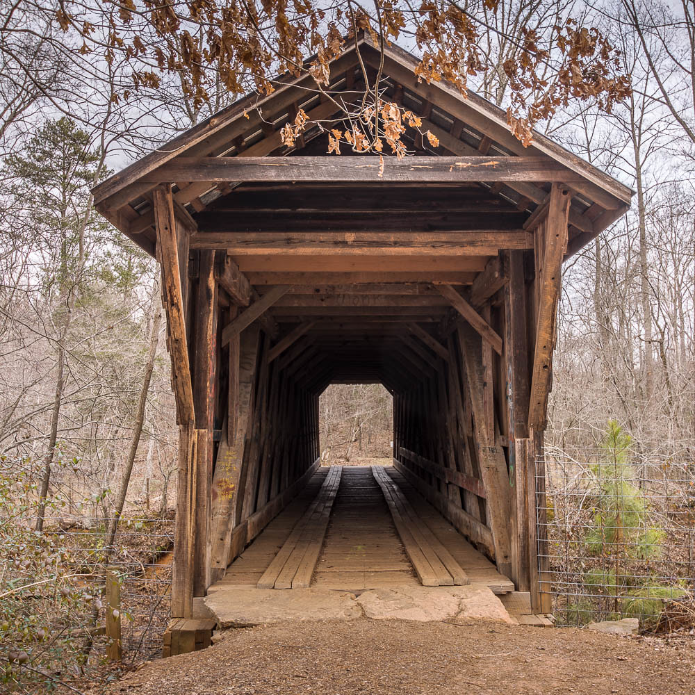
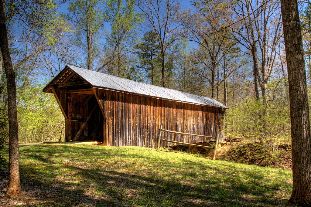
Bunker Hill Covered Bridge 1
Topographic Map of Catawba County, NC, USA
Find elevation by address:

Places in Catawba County, NC, USA:
Hickory
Mountain Creek
Newton
Catawba
Clines
Bandy's
Buffalo Shoals Rd, Newton, NC, USA
E Trace Dr, Newton, NC, USA
Saint Stephens
Places near Catawba County, NC, USA:
First Usa Storage
225 Punch Loop Rd
2550 Us Hwy 70 Se
W 1st St, Conover, NC, USA
Conover
1511 Indian Springs Dr
1511 Indian Springs Dr
Catawba County Economic Dev
Saint Stephens
2333 Lenoir Rhyne Blvd Se
Hickory
30th Street Northeast
Grandview Middle School
2550 29th St Ne
2130 21st St Ne
St. Stephens High School
Highland Avenue Restaurant
1632 12th St Ne
1335 Muriel Joy Ln
Lenoir-rhyne University
Recent Searches:
- Elevation of Corso Fratelli Cairoli, 35, Macerata MC, Italy
- Elevation of Tallevast Rd, Sarasota, FL, USA
- Elevation of 4th St E, Sonoma, CA, USA
- Elevation of Black Hollow Rd, Pennsdale, PA, USA
- Elevation of Oakland Ave, Williamsport, PA, USA
- Elevation of Pedrógão Grande, Portugal
- Elevation of Klee Dr, Martinsburg, WV, USA
- Elevation of Via Roma, Pieranica CR, Italy
- Elevation of Tavkvetili Mountain, Georgia
- Elevation of Hartfords Bluff Cir, Mt Pleasant, SC, USA