Elevation of 30th Street Northeast, 30th St NE, North Carolina, USA
Location: United States > North Carolina > Catawba County > Hickory > Hickory >
Longitude: -81.274867
Latitude: 35.752918
Elevation: -10000m / -32808feet
Barometric Pressure: 295KPa
Elevation Map:
Satellite Map:
Related Photos:

Eastern Bluebird-GHMP-3817

Dark-eyed Junco-GHMP-3875
The Bridge
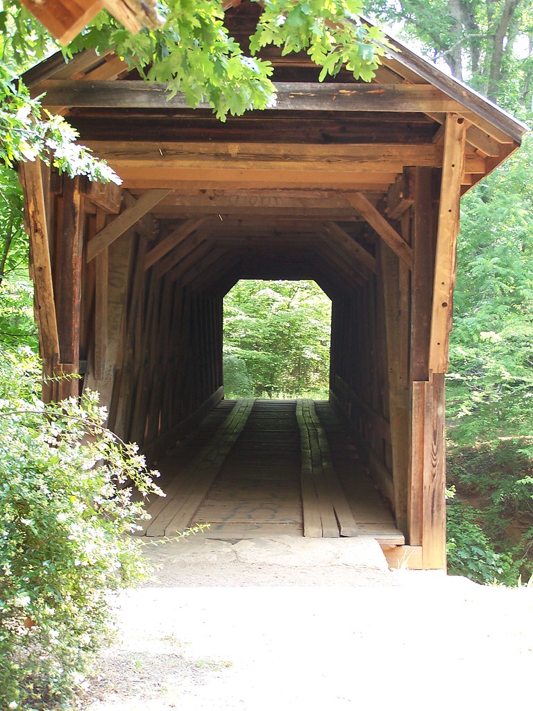
Straight Ahead

illuminated wings

CUMC_9-9-2010-019

My office from a different view. #technology #tech #catawbacounty

Post-Bokeh

11-22-2009-52

Mountain View "Brush 127"

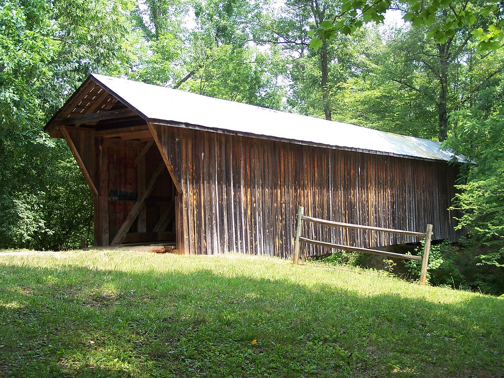
Bunker Hill Covered Bridge

11-22-2009-51

11-22-2009-61

Power in the Process-wk 7_Page_10

Power in the Process-wk 7_Page_01

Peaceful Waters

11-22-2009-64
View from my Dad's

Grand_Central_05-05-09-034

Grand_Central_05-05-09-025

11-22-2009-60

Hobo Highway #2 11/52
Hobo Highway
Aging 36/52
Bunker Hill Covered Bridge 2
Retired Huey

Uneasy Roads
This morning's sky

Beautiful day at the @hickorycrawdads game w/ @cindyyountlc86, @shelaeveridge, and Miss Lil #catawbacounty #nc #baseball

Tonight's Sunset 8/12/2010
Nothing like a freshly cut yard. #itsaguything

Bunker Hill Covered Bridge 3

Justin Barringer

hay rolls

Tonight's Sunset in Newton, NC

Oxford Dam-1027

A beautiful Catawba County sunset this evening. #catawbacounty #innovatecatawba #sunset #NC #nofilter #nocontrast #organic

Tonight's Sunset 8/12/2010

Bunker Hill Covered Bridge 1
The Morning Show

The Morning Show

Oxford Dam-1026
Topographic Map of 30th Street Northeast, 30th St NE, North Carolina, USA
Find elevation by address:

Places near 30th Street Northeast, 30th St NE, North Carolina, USA:
2550 29th St Ne
Saint Stephens
2130 21st St Ne
St. Stephens High School
3828 16th St Ne
2080 46th Ave Dr Ne
3776 Pinecrest Dr Ne
1632 12th St Ne
45th Avenue Place Northeast
3705 Wandering Ln
1260 5th St Ne #24
1511 Indian Springs Dr
1511 Indian Springs Dr
2836 5th St Ne
4825 Coulwood Ct Ne
4137 Pinecrest Ct Ne
Lenoir-rhyne University
Catawba County Economic Dev
Highland Avenue Restaurant
2550 Us Hwy 70 Se
Recent Searches:
- Elevation of Corso Fratelli Cairoli, 35, Macerata MC, Italy
- Elevation of Tallevast Rd, Sarasota, FL, USA
- Elevation of 4th St E, Sonoma, CA, USA
- Elevation of Black Hollow Rd, Pennsdale, PA, USA
- Elevation of Oakland Ave, Williamsport, PA, USA
- Elevation of Pedrógão Grande, Portugal
- Elevation of Klee Dr, Martinsburg, WV, USA
- Elevation of Via Roma, Pieranica CR, Italy
- Elevation of Tavkvetili Mountain, Georgia
- Elevation of Hartfords Bluff Cir, Mt Pleasant, SC, USA