Elevation map of Vojvodina, Serbia
Location: Serbia >
Longitude: 20.050788
Latitude: 45.5035892
Elevation: 71m / 233feet
Barometric Pressure: 100KPa
Elevation Map:
Satellite Map:
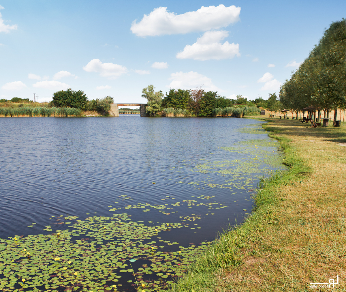
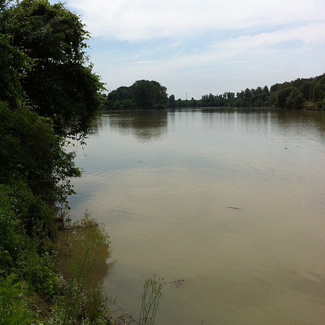
Related Photos:

2016_Törökbecse_0238
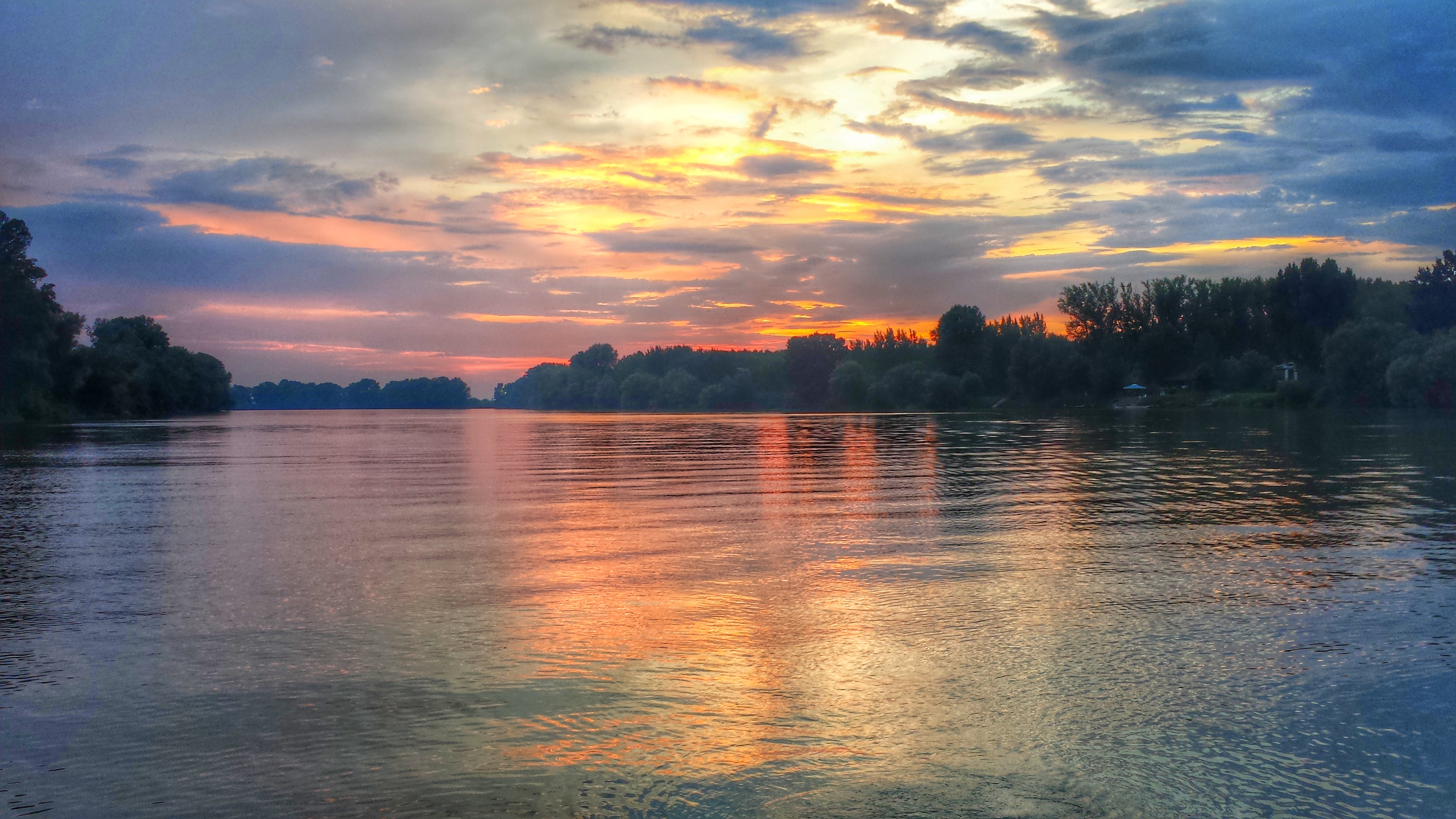
Sun set on river Tisa
->>>

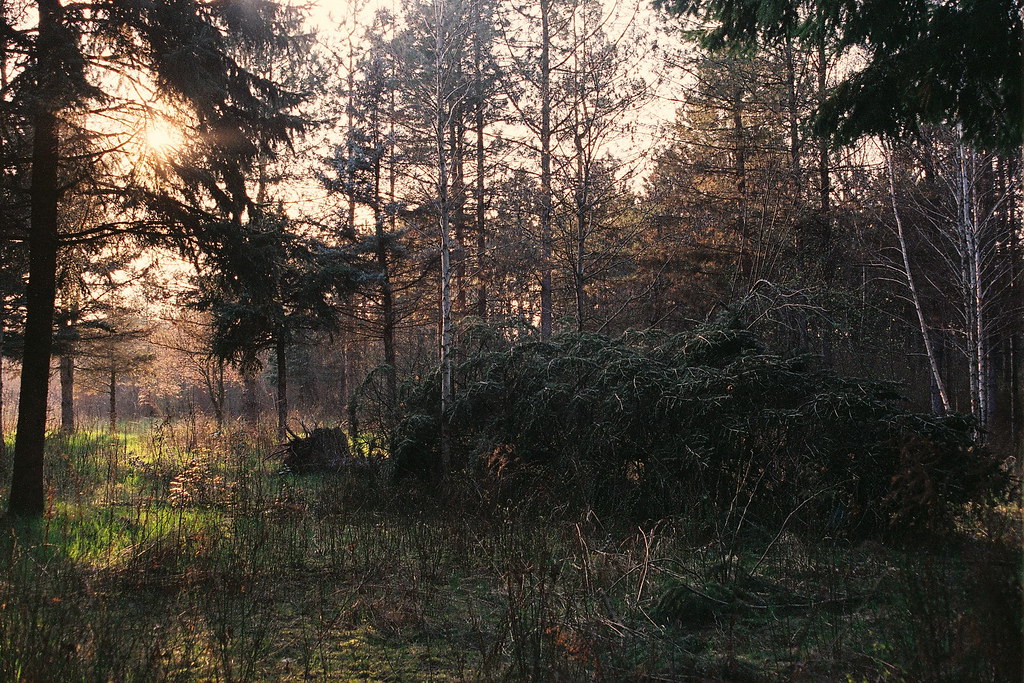
Winter scene
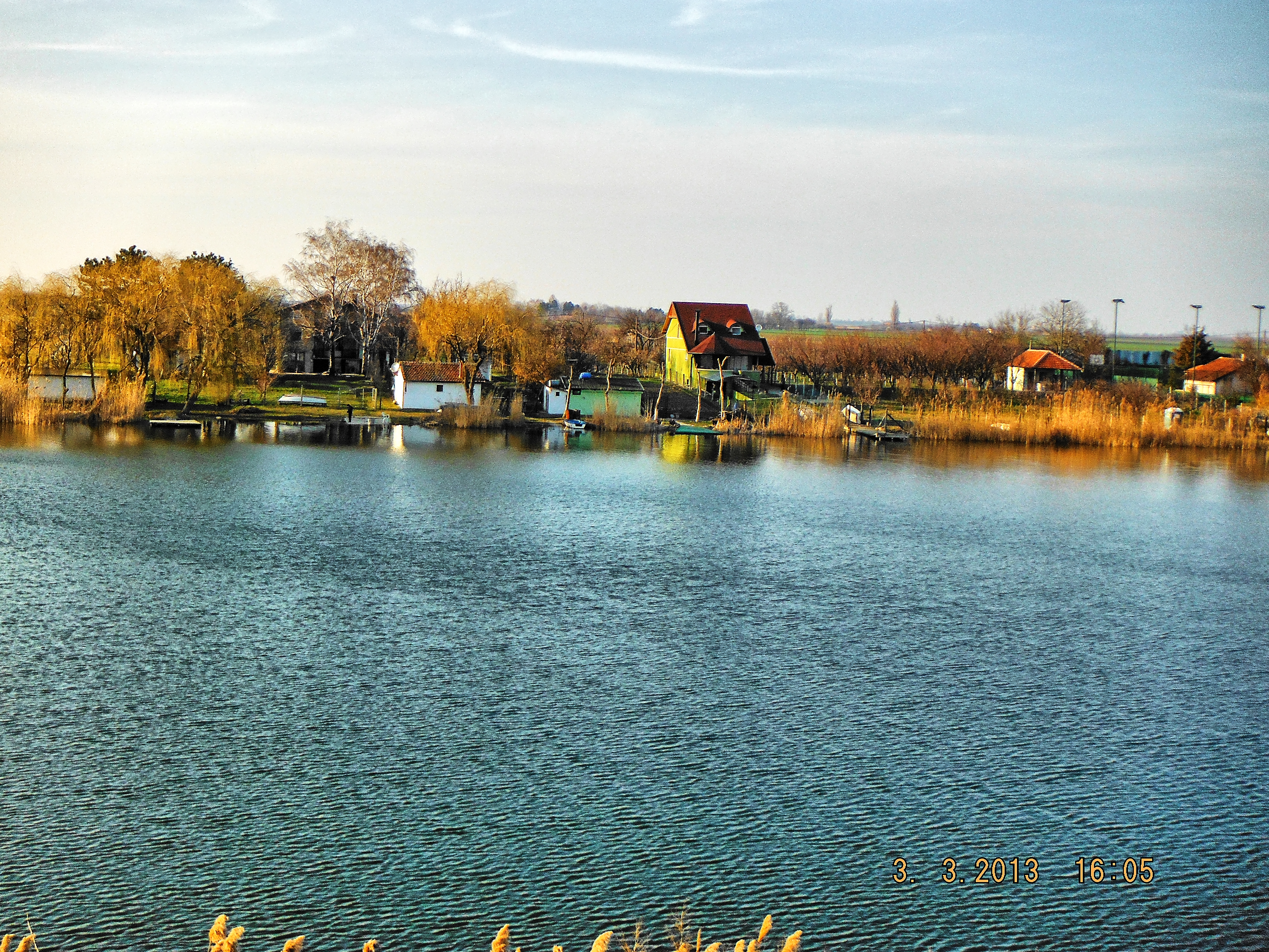
River "Tisa"

River "Tisa"

Nördlich von Novi Sad, Serbien, 2013
Tisa, Novi Bečej
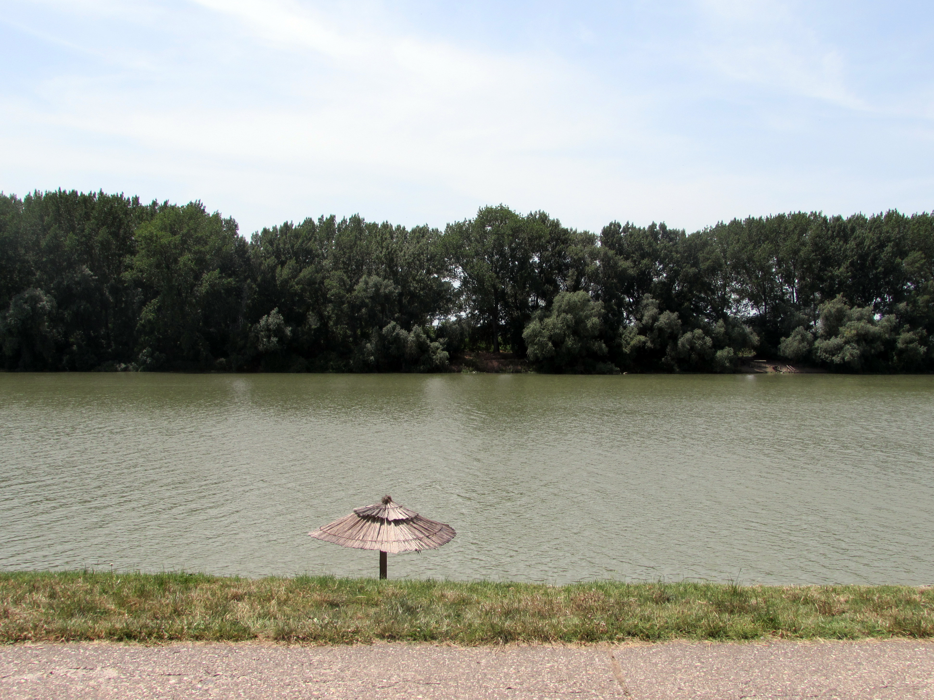
Jegrička
Ne da je dobro mesto,nego brate da odlepis
Topographic Map of Vojvodina, Serbia
Find elevation by address:

Places in Vojvodina, Serbia:
North Bačka District
South Banat District
South Backa District
Srem District
Zrenjanin
Kikinda
West Bačka District
Places near Vojvodina, Serbia:
Novi Sad
Bulevar Oslobođenja
Zrenjanin
Bistrica
South Backa District
Branka Ćopića 1
Beška
Pobeda
Novi Sad
Inđija
Pionirska 18
Kikinda
Srem District
Bački Vinogradi
Röszke
Palić
Szentmihálytelek
Újszeged
Szeged
Selyem U. 4
Recent Searches:
- Elevation of Corso Fratelli Cairoli, 35, Macerata MC, Italy
- Elevation of Tallevast Rd, Sarasota, FL, USA
- Elevation of 4th St E, Sonoma, CA, USA
- Elevation of Black Hollow Rd, Pennsdale, PA, USA
- Elevation of Oakland Ave, Williamsport, PA, USA
- Elevation of Pedrógão Grande, Portugal
- Elevation of Klee Dr, Martinsburg, WV, USA
- Elevation of Via Roma, Pieranica CR, Italy
- Elevation of Tavkvetili Mountain, Georgia
- Elevation of Hartfords Bluff Cir, Mt Pleasant, SC, USA