Elevation map of South Backa District, Serbia
Location: Serbia > Vojvodina >
Longitude: 19.6976187
Latitude: 45.4890344
Elevation: 77m / 253feet
Barometric Pressure: 100KPa
Elevation Map:
Satellite Map:
Related Photos:

srbobranski atar

кућица код Врбаса
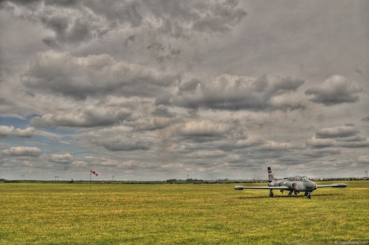
SOKO G-2 Galeb in HDR

Bucin salas Temerin

Bucin salas Temerin

Bucin salas Temerin

Republic F-84G Thunderjet Yugoslavian Air Force serial 10703 preserved at Novi Sad Airfield, Serbia

Mayer Florian
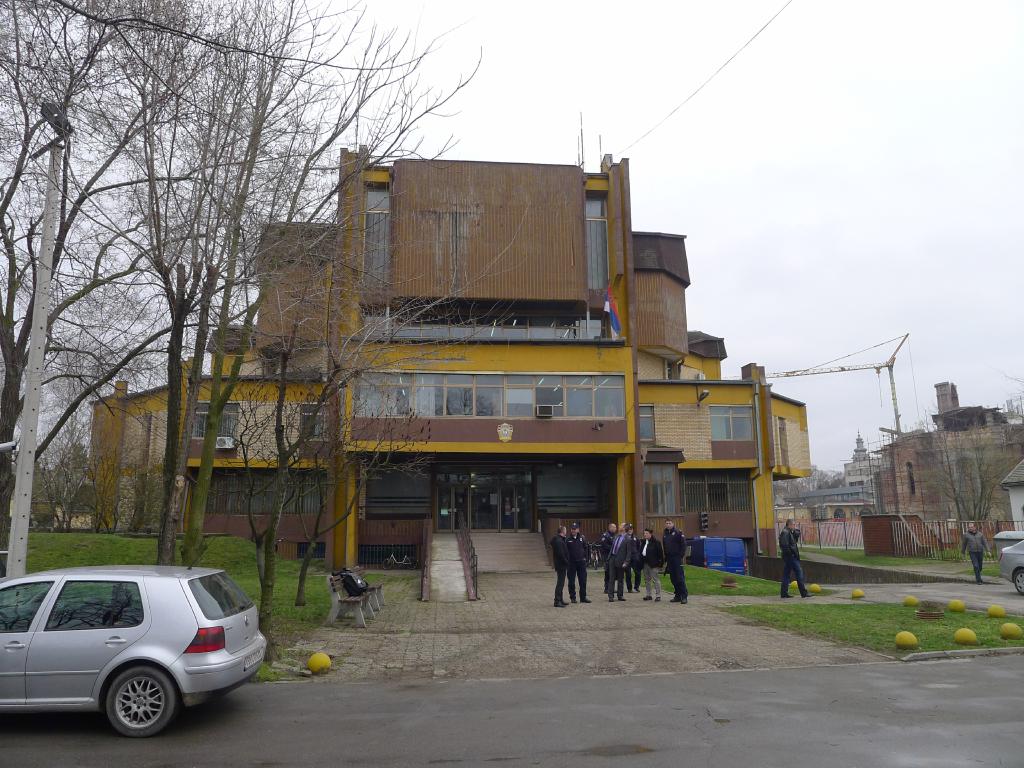
Vrbas (Wojwodina), Police Station
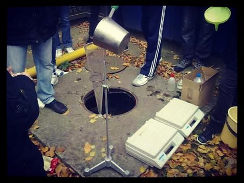
We're doing serious #science here. Don't mess up with us. #tbt #memories #cool #sampling #environment #watersampling #experiment
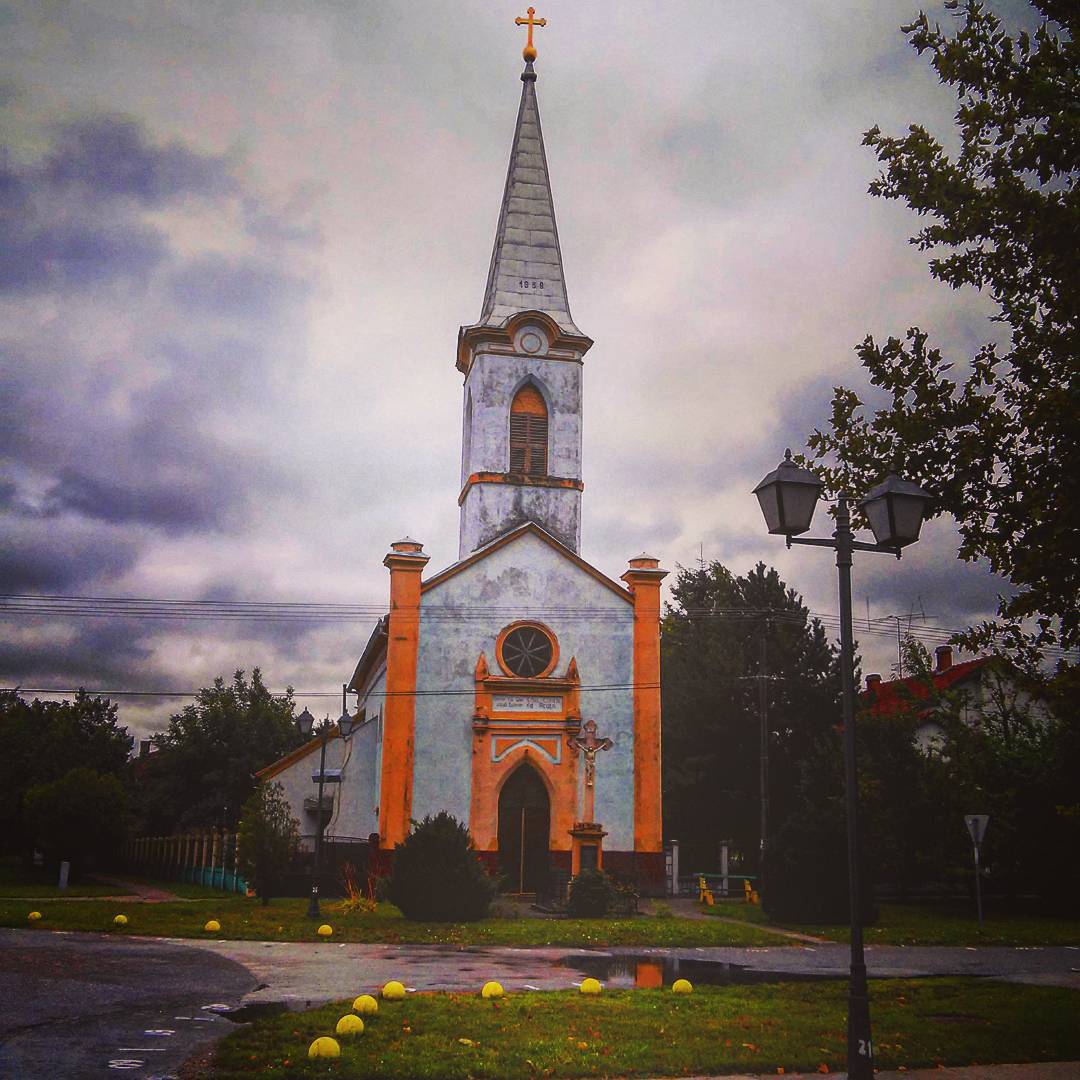
#kucura #vrbas #church #catholicchurch #lonely #cloudy #summer #loves_cultures #vivosplash #bnw_life #instagnets #ig_balkan #christian

Ad Goossens

Light painting

Buco's ranch

Buco's ranch
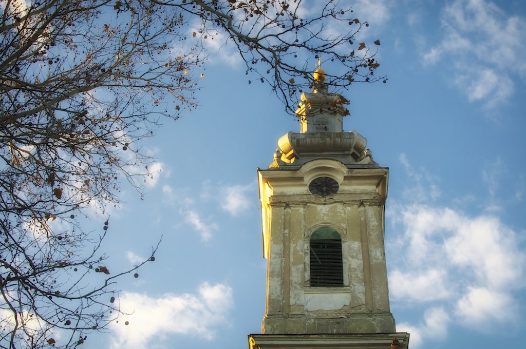
Toranj crkve
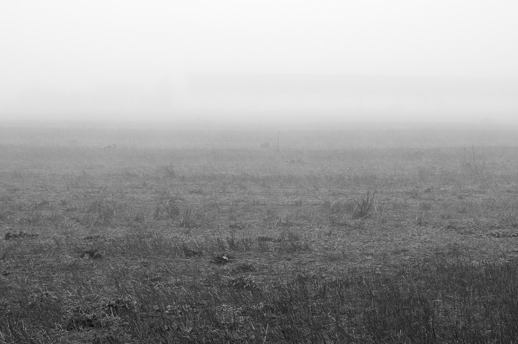
Pusto polje

Trska i magla (I)
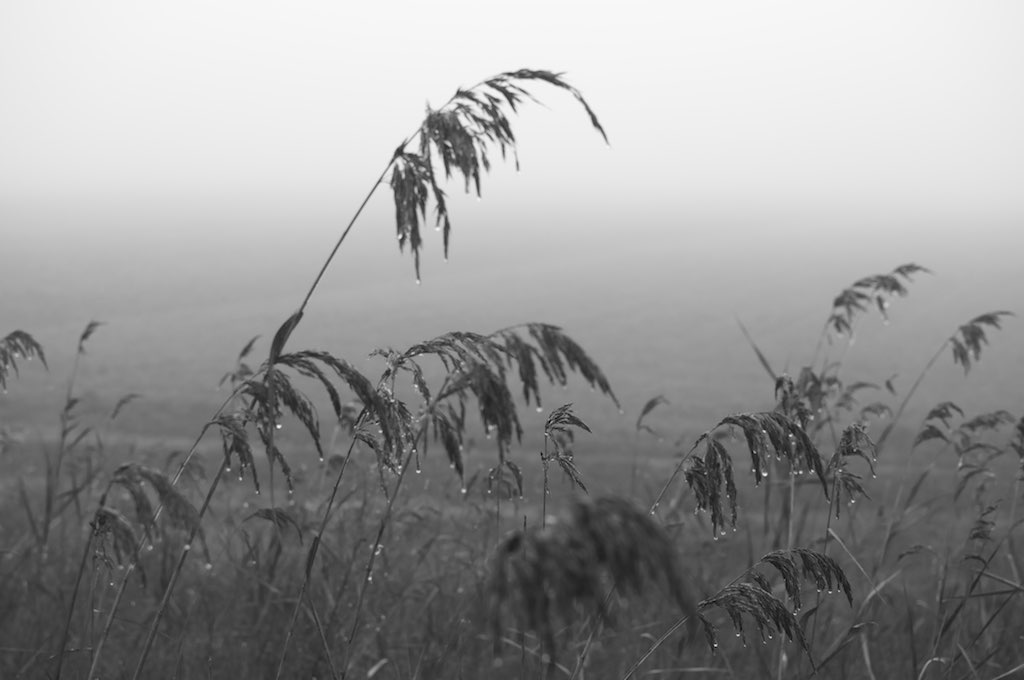
Trska i magla (II)
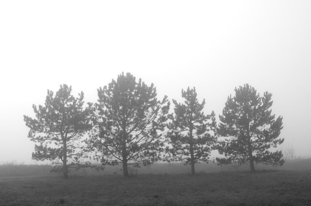
Četiri drveta u magli
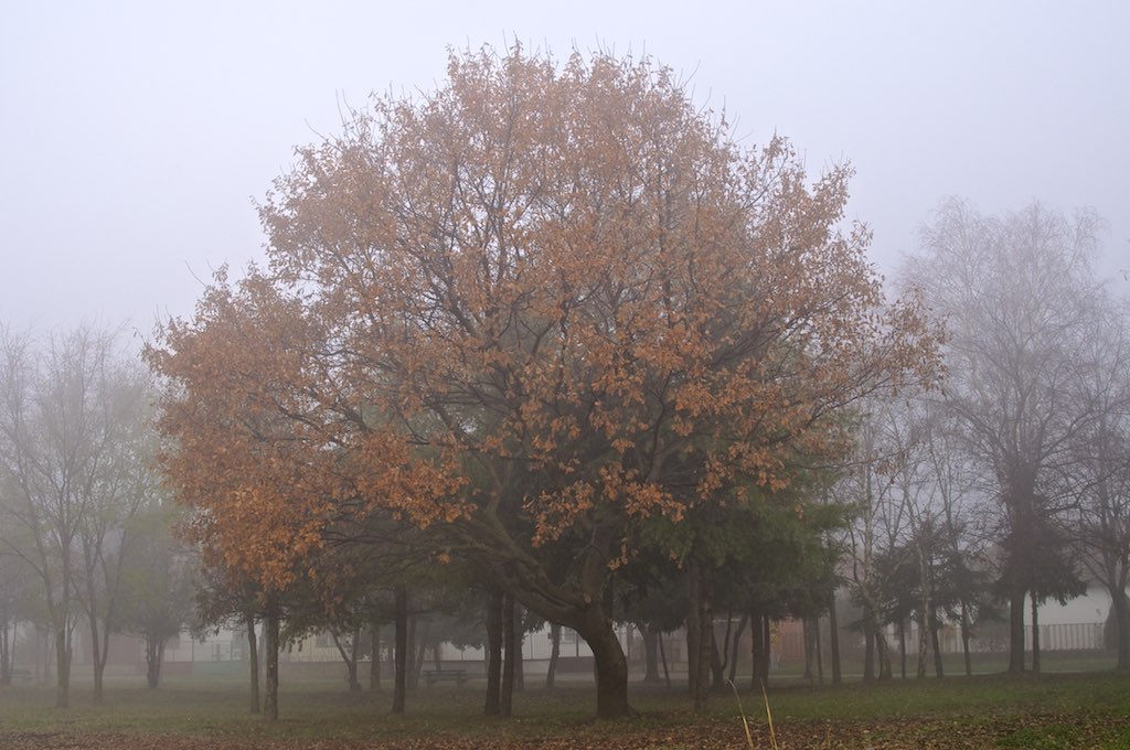
Jesenje lišće
Topographic Map of South Backa District, Serbia
Find elevation by address:

Places in South Backa District, Serbia:
Places near South Backa District, Serbia:
Novi Sad
Bistrica
Novi Sad
Branka Ćopića 1
Bulevar Oslobođenja
Pobeda
Vojvodina
Srem District
Beška
Pionirska 18
Inđija
Palić
Bački Vinogradi
Zrenjanin
Röszke
Szentmihálytelek
Kikinda
Szeged
Újszeged
Selyem U. 4
Recent Searches:
- Elevation of Corso Fratelli Cairoli, 35, Macerata MC, Italy
- Elevation of Tallevast Rd, Sarasota, FL, USA
- Elevation of 4th St E, Sonoma, CA, USA
- Elevation of Black Hollow Rd, Pennsdale, PA, USA
- Elevation of Oakland Ave, Williamsport, PA, USA
- Elevation of Pedrógão Grande, Portugal
- Elevation of Klee Dr, Martinsburg, WV, USA
- Elevation of Via Roma, Pieranica CR, Italy
- Elevation of Tavkvetili Mountain, Georgia
- Elevation of Hartfords Bluff Cir, Mt Pleasant, SC, USA