Elevation of Vista Ln, Pioneer, CA, USA
Location: United States > California > Alpine County > Pioneer >
Longitude: -120.52330
Latitude: 38.477331
Elevation: 1148m / 3766feet
Barometric Pressure: 88KPa
Elevation Map:
Satellite Map:
Related Photos:

Friends or foes?

One more dragonfly.

Apples anyone?

Western Gasteruption

Count them 6 butterflies in one shot!

Darner Dragonfly

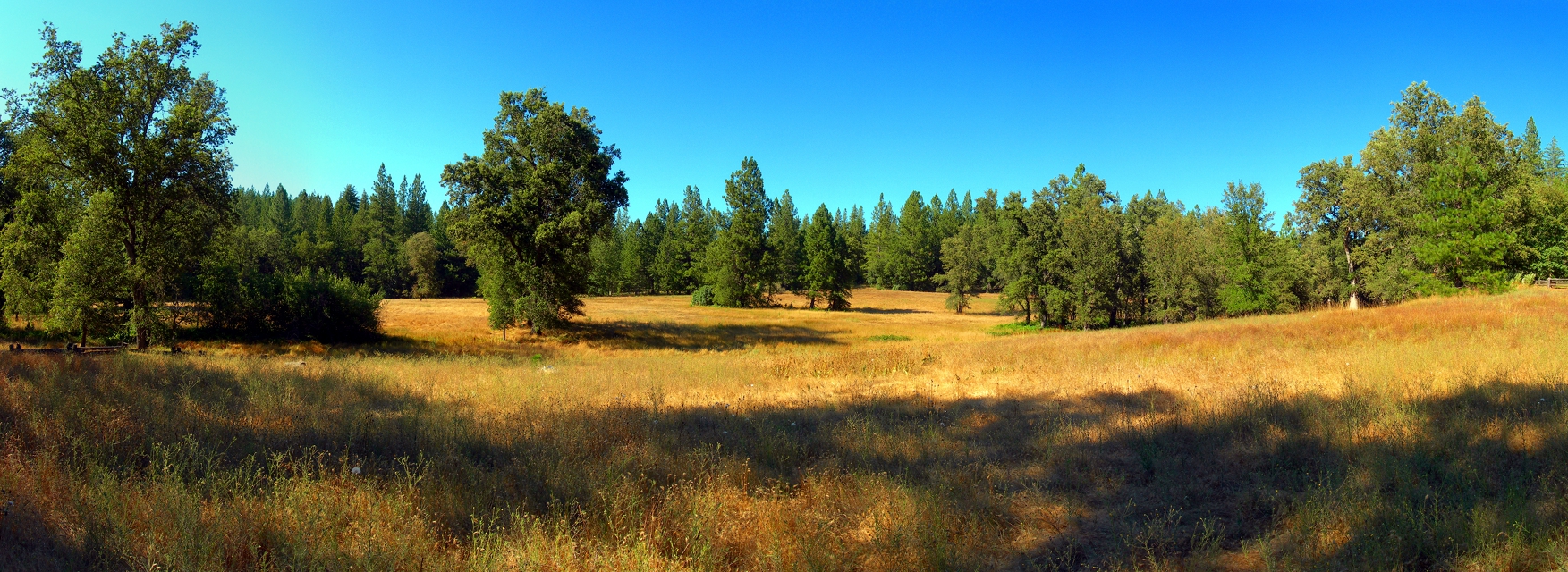
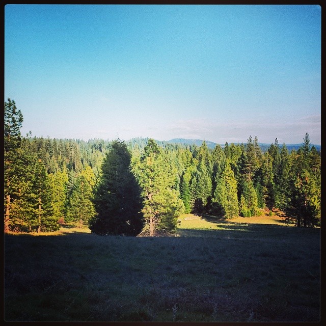
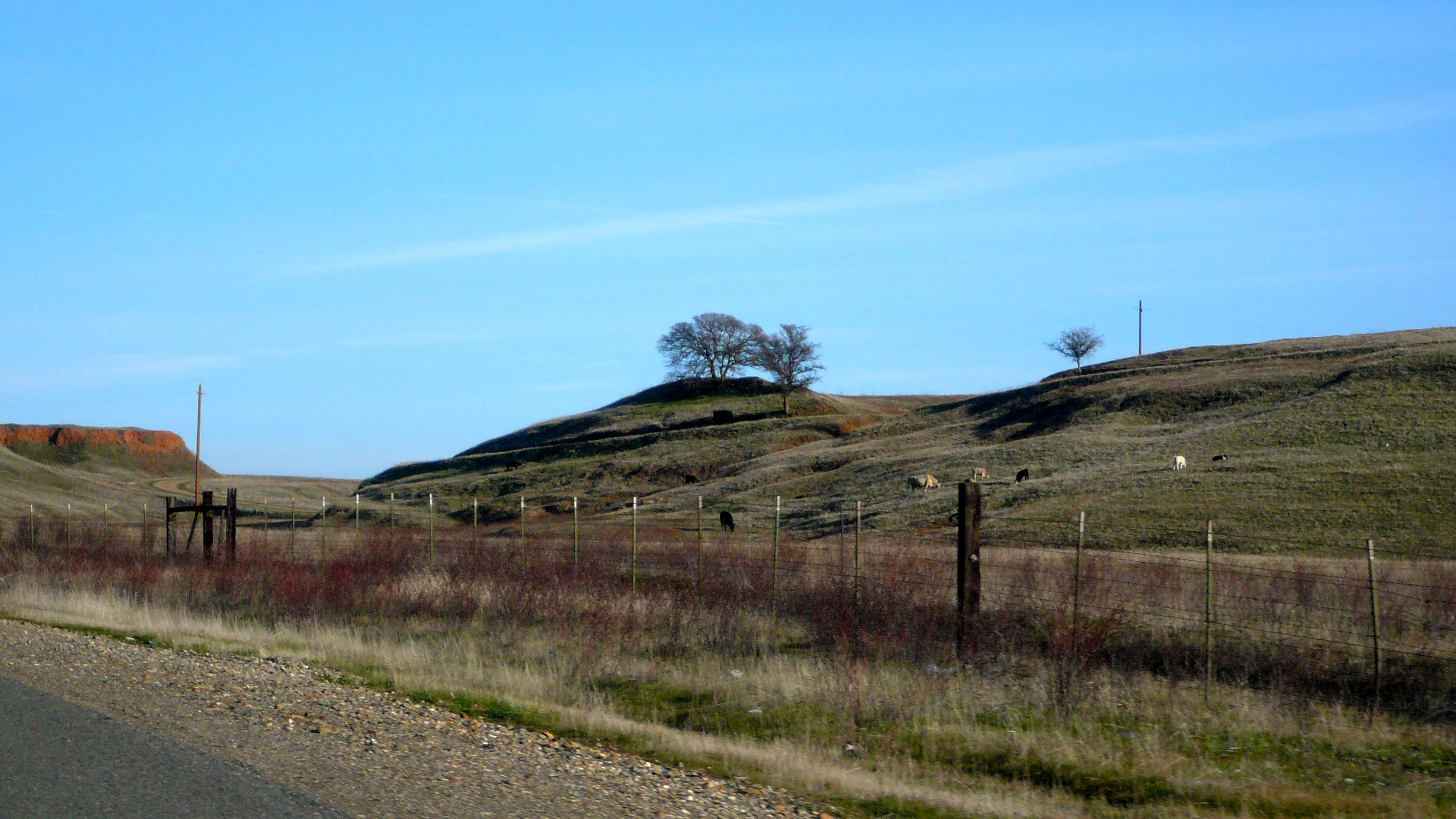
Tahoe Forest - View across the canyon Omo Ranch Road
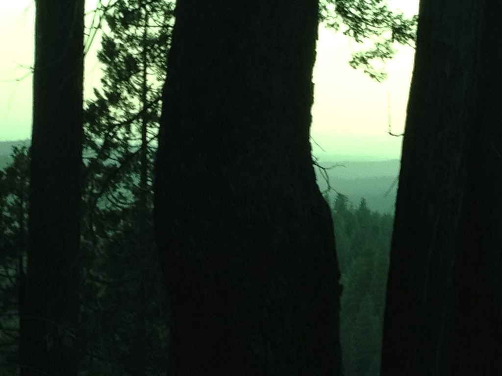
Tahoe Forest - View across the canyon Omo Ranch Road

Fritillary Butterfly
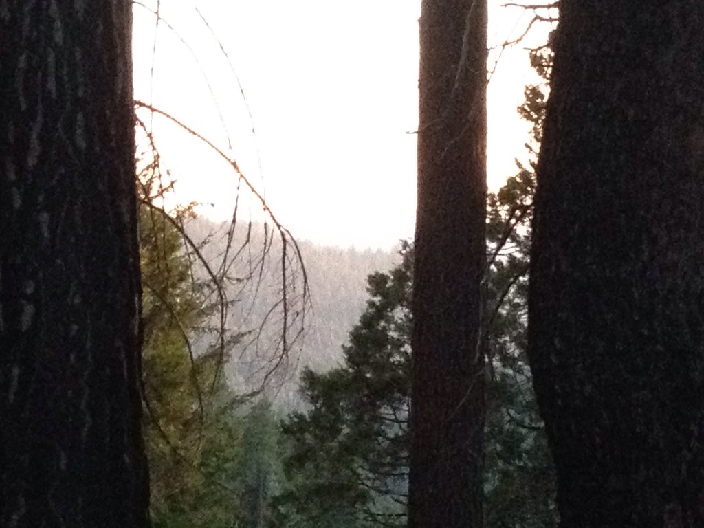
Tahoe Forest - View across the canyon Omo Ranch Road

View across the canyon from Omo Ranch Road

View from Omo Road - Tahoe National Forest
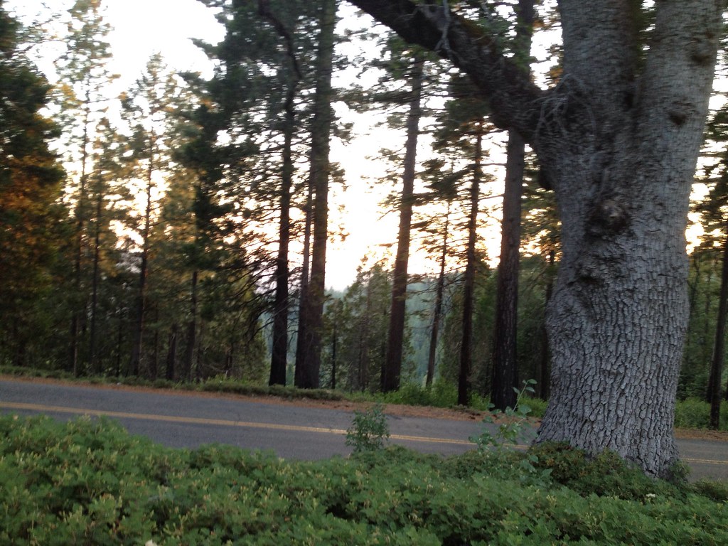
Tahoe Forest - View across the canyon Omo Ranch Road
Sylvan View from Bedroom
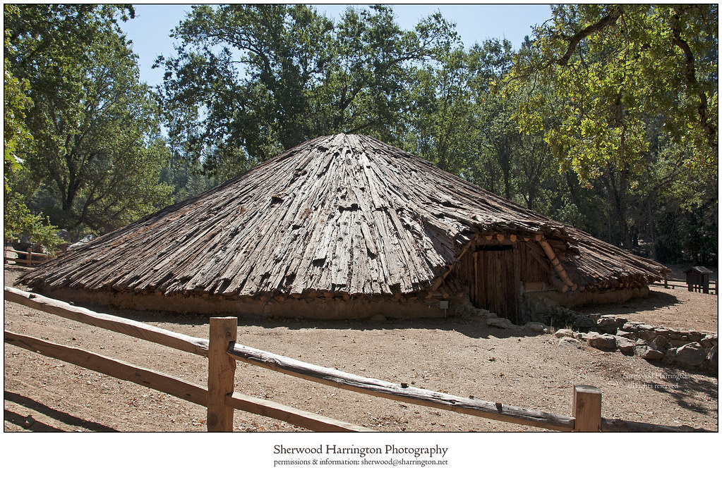
Miwok Ceremonial Roundhouse, 6 of 6
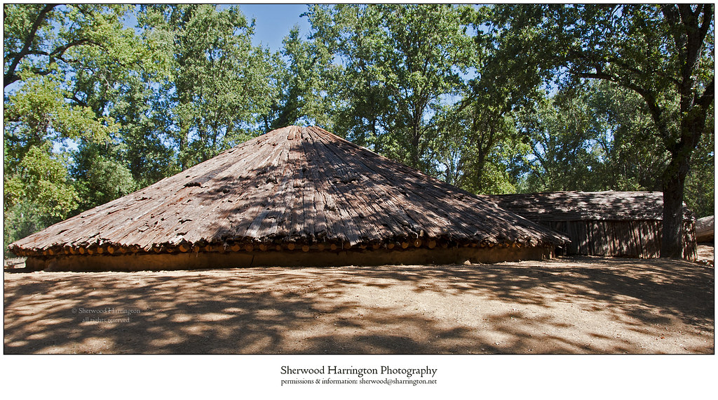
Miwok Ceremonial Roundhouse, 4 of 6

Miwok Ceremonial Roundhouse, 5 of 6
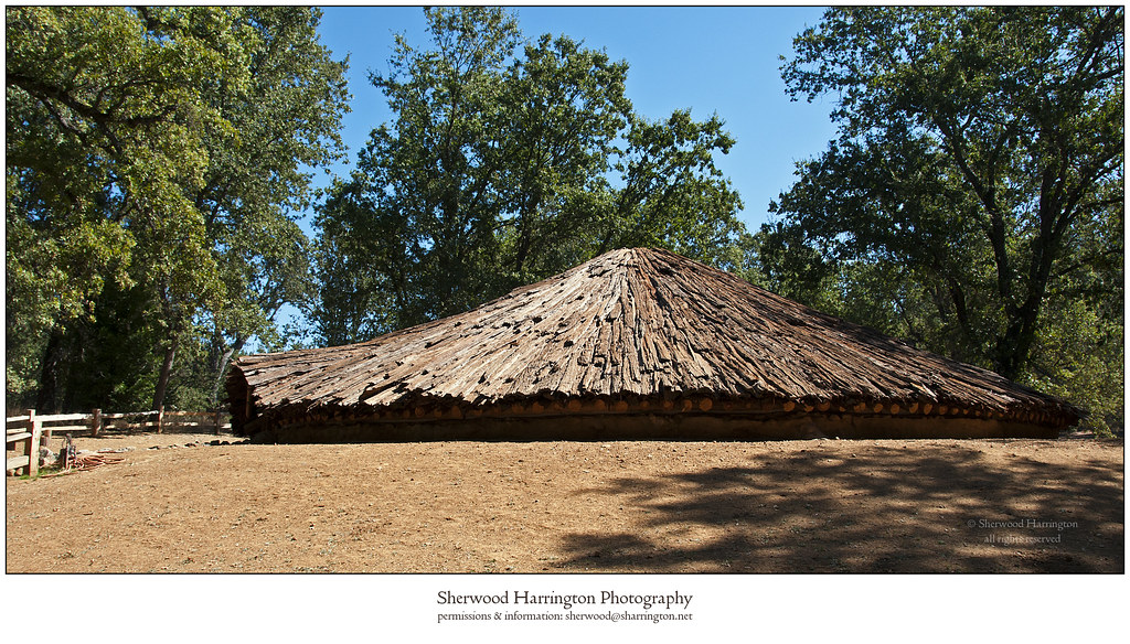
Miwok Ceremonial Roundhouse, 2 of 6

Tahoe Forest - View across the canyon Omo Ranch Road

St. Bernard's Church

Indian Grinding Rock
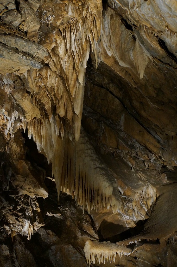
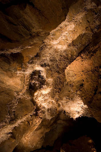
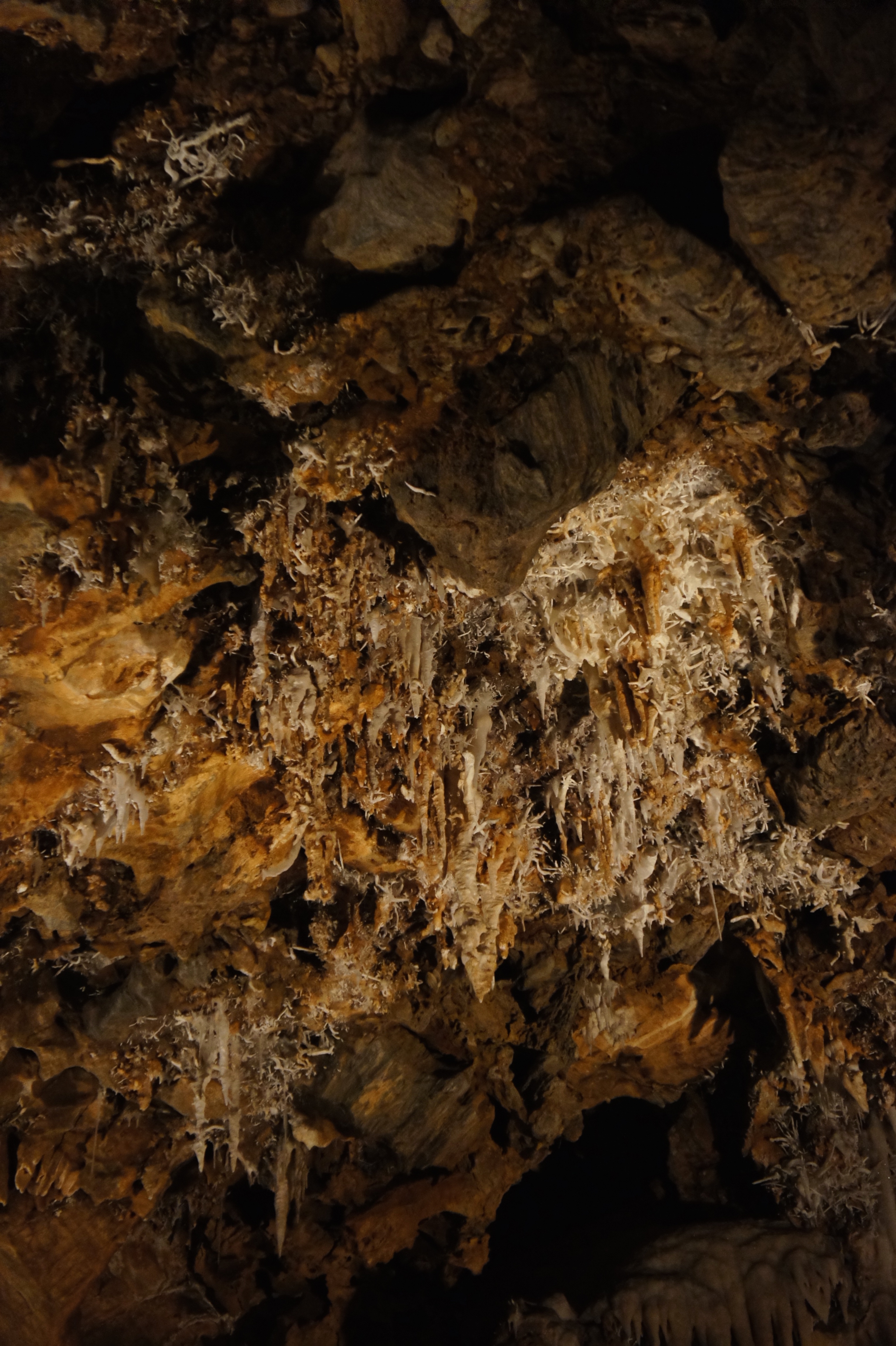
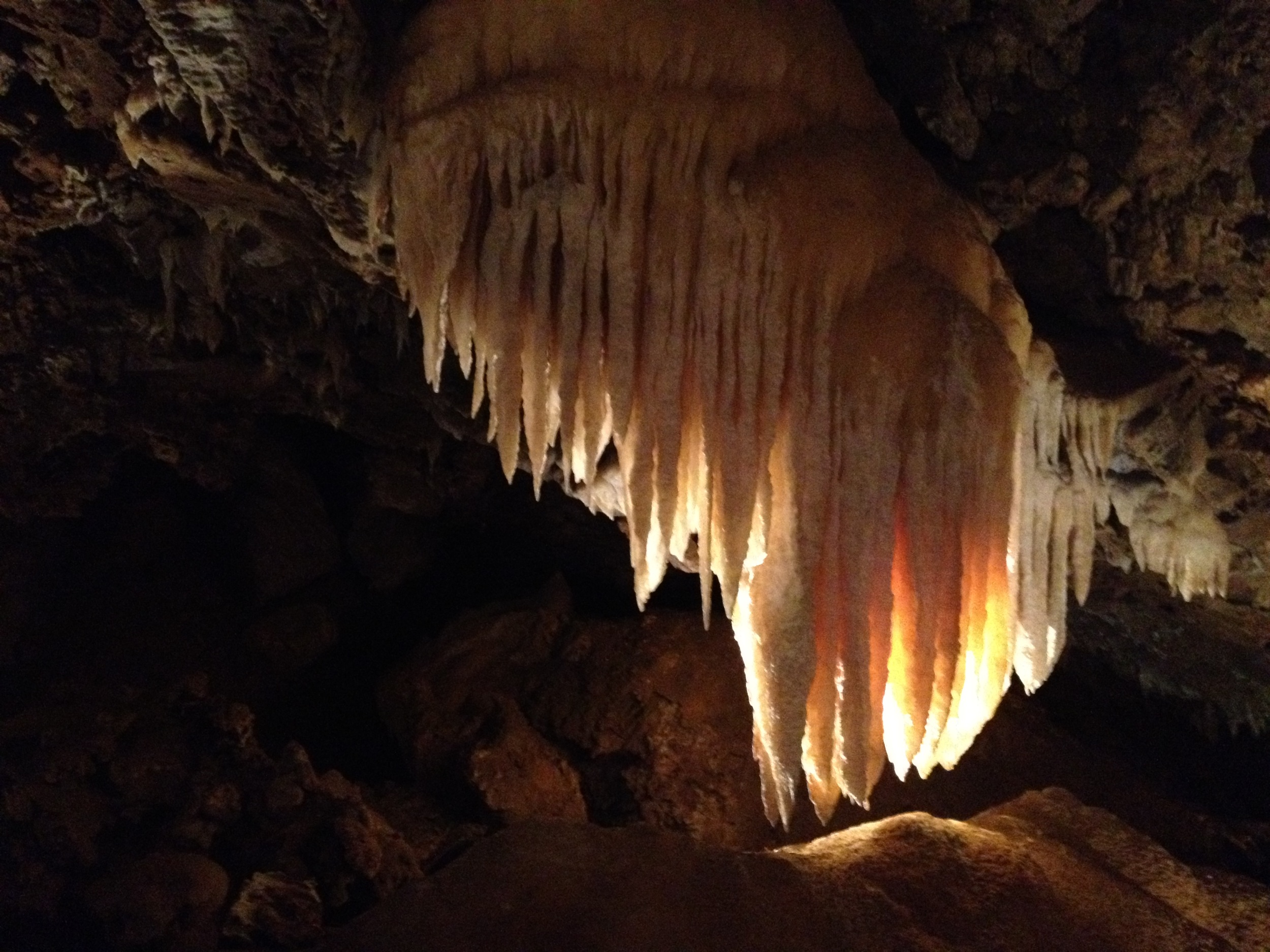
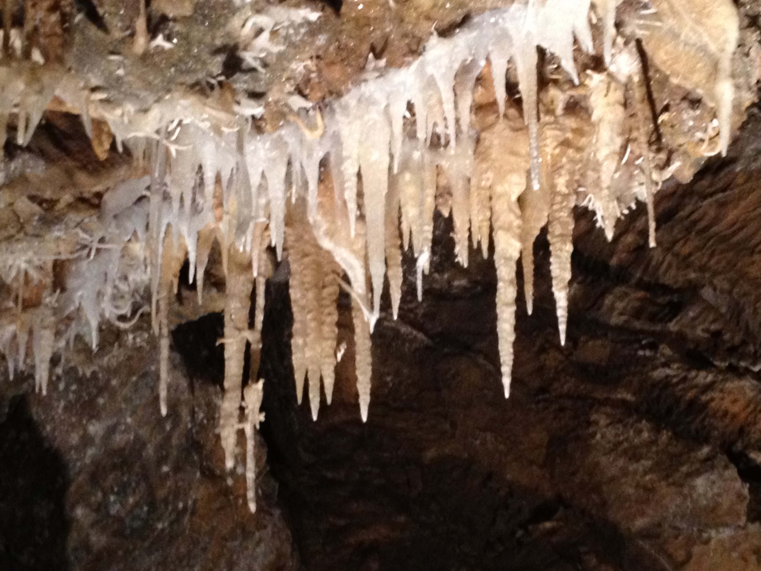
Drapery Stalactites
CRW_7990-54

Camera Roll-1234

california sunset

_8130154.NEF
Camera Roll-1234

_8130152.NEF

_8120109.NEF

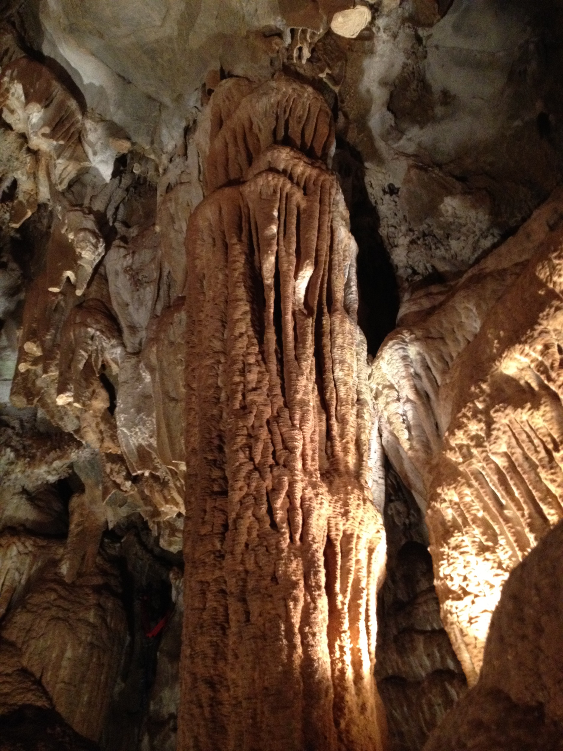
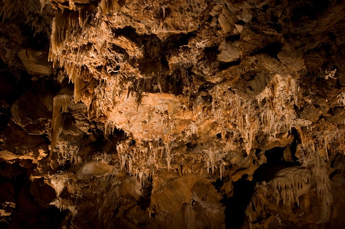
Black Chasm Cavern, Volcano, California.
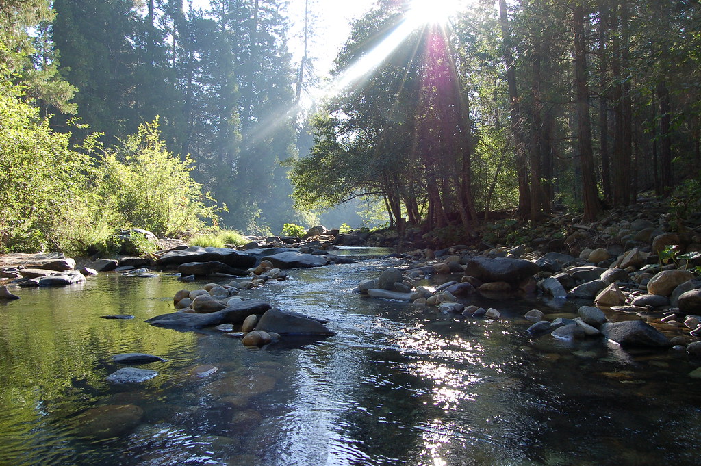
At the Edge of the Meadow
Pi Pi Valley 06 247
ATR20130218-1649-195
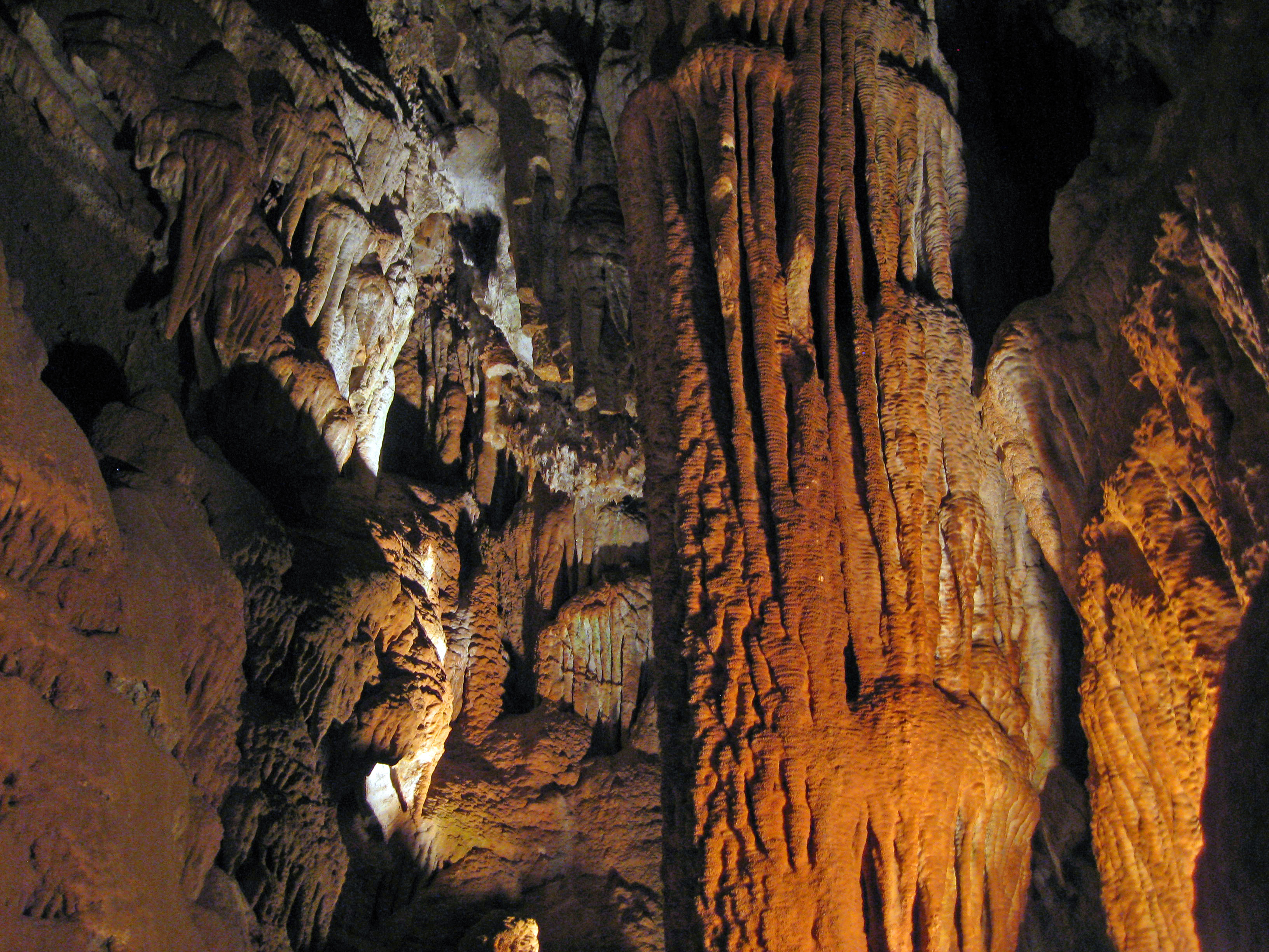
Black Chasm Caves

Camera Roll-1243
Camera Roll-1243

_8120111.NEF
Walking the pups! So #pretty! Great weather! #mountains
Camera Roll-1245
CRW_8006-61
2009 Cali Road Trip - 139

Camera Roll-1245
Topographic Map of Vista Ln, Pioneer, CA, USA
Find elevation by address:

Places near Vista Ln, Pioneer, CA, USA:
27031 Ca-88
California 88 & Inspiration Drive West
California 88 & Inspiration Drive West
California 88 & Salt Springs Road
26891 Four Wheel Drive Rd
California 88 & Lodge Road
18100 Timberlin Dr
26884 Woodland Rd
California 88 & Sugar Pine Drive
27090 Woodland Rd
19380 Amador Ave
26605 Sugar Pine Dr
27300 Woodland Rd
California 88 & Woodland Road
19021 Circle View Dr
19297 Woodridge Dr
North Mace Drive
California 88 & Mace Drive
19384 Woodridge Dr
18080 N Mace Dr
Recent Searches:
- Elevation of Corso Fratelli Cairoli, 35, Macerata MC, Italy
- Elevation of Tallevast Rd, Sarasota, FL, USA
- Elevation of 4th St E, Sonoma, CA, USA
- Elevation of Black Hollow Rd, Pennsdale, PA, USA
- Elevation of Oakland Ave, Williamsport, PA, USA
- Elevation of Pedrógão Grande, Portugal
- Elevation of Klee Dr, Martinsburg, WV, USA
- Elevation of Via Roma, Pieranica CR, Italy
- Elevation of Tavkvetili Mountain, Georgia
- Elevation of Hartfords Bluff Cir, Mt Pleasant, SC, USA