Elevation of Virginia Peak, Nevada, USA
Location: United States > Nevada > Washoe County > Reno >
Longitude: -119.46045
Latitude: 39.7560209
Elevation: 2518m / 8261feet
Barometric Pressure: 75KPa
Elevation Map:
Satellite Map:
Related Photos:
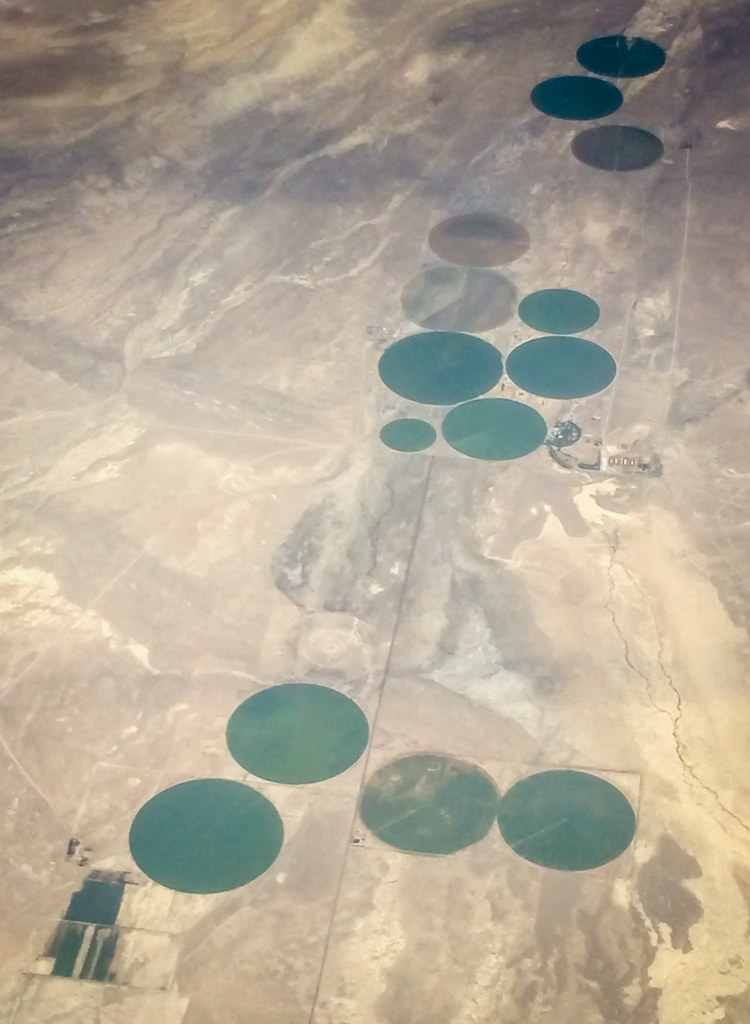
Aerial view of desert over Nevada
Aerial view of Mono Lake over California
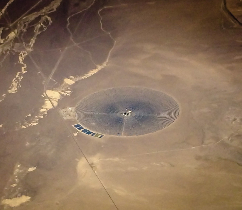
Aerial view of desert over Nevada
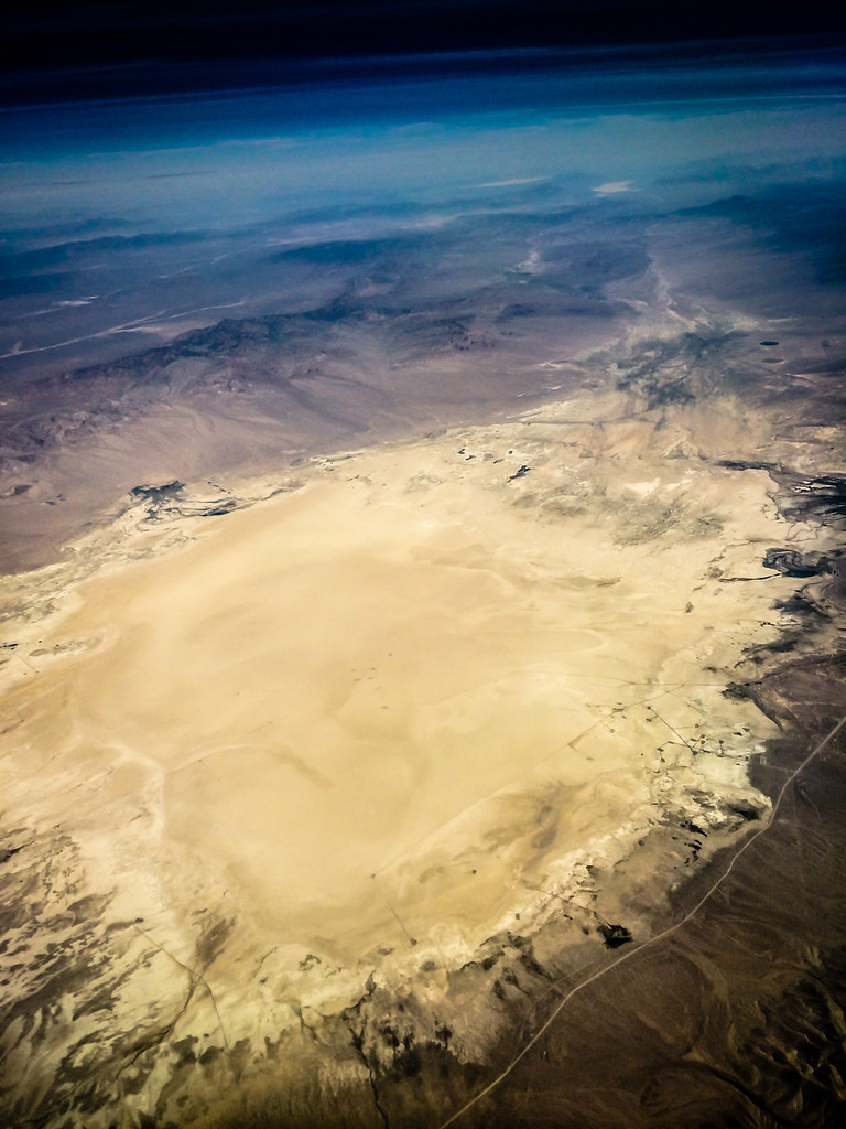
Aerial view of a dry lake bed over Nevada
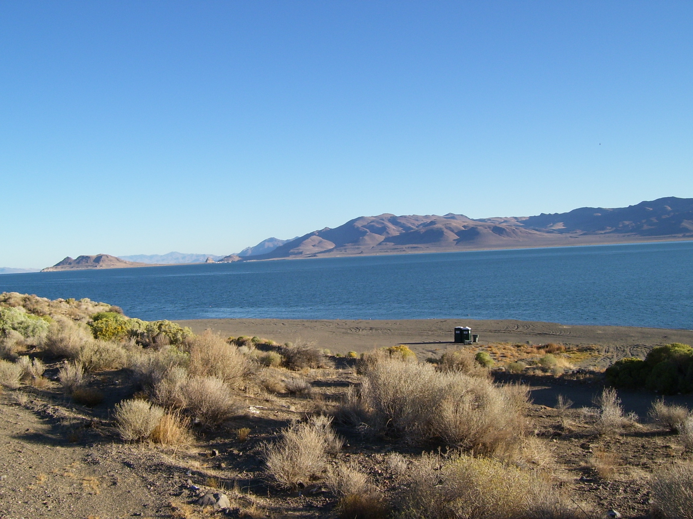
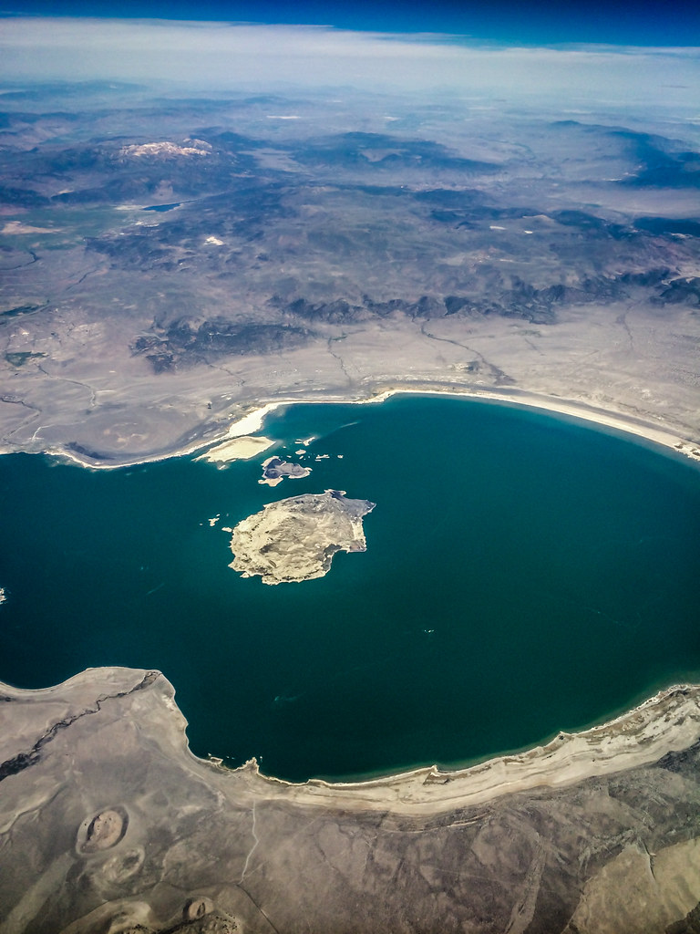
Blockhouse Beach view of Anaho Island
Topographic Map of Virginia Peak, Nevada, USA
Find elevation by address:

Places near Virginia Peak, Nevada, USA:
2855 Cougar Dr
1 Pond Peak Rd, Reno, NV, USA
Cantlon Dr, Wadsworth, NV, USA
Electric Avenue
1 Electric Ave
Tesla Gigafactory
Italy Drive
Peru Drive
Nevada 439
990 Roan Ct
90 Main St, Dayton, NV, USA
Fernley
1291 Canal Dr
Silverado Casino
Red Bluffs Way
Usa Parkway
50 Speedway Rd
Wallace Way, Fernley, NV, USA
1060 Pepper Ln
1950 Alta Vista Way
Recent Searches:
- Elevation of Corso Fratelli Cairoli, 35, Macerata MC, Italy
- Elevation of Tallevast Rd, Sarasota, FL, USA
- Elevation of 4th St E, Sonoma, CA, USA
- Elevation of Black Hollow Rd, Pennsdale, PA, USA
- Elevation of Oakland Ave, Williamsport, PA, USA
- Elevation of Pedrógão Grande, Portugal
- Elevation of Klee Dr, Martinsburg, WV, USA
- Elevation of Via Roma, Pieranica CR, Italy
- Elevation of Tavkvetili Mountain, Georgia
- Elevation of Hartfords Bluff Cir, Mt Pleasant, SC, USA