Elevation of Vilonia, AR, USA
Location: United States > Arkansas > Faulkner County > Cypress Township >
Longitude: -92.207927
Latitude: 35.083975
Elevation: 95m / 312feet
Barometric Pressure: 100KPa
Elevation Map:
Satellite Map:
Related Photos:

anticipation

Sunset - 1/22/11
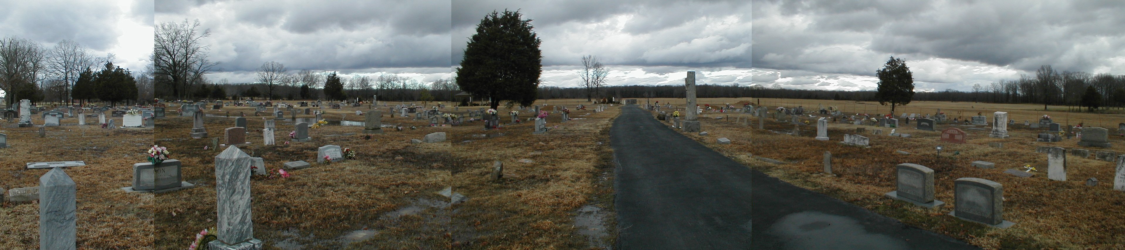
002 Harmony Cemetery

hay fever
stuck in park
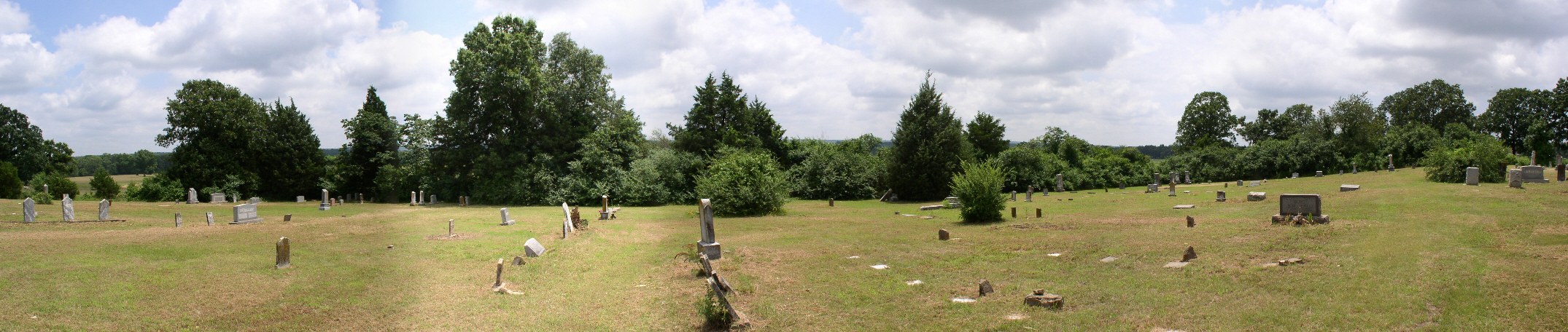
005 Mount Olive

_D7K4111.jpg
_D7K4112.jpg
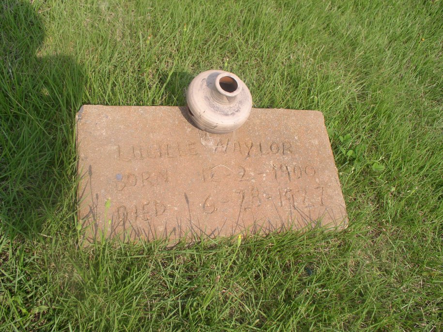
Naylor Lucille
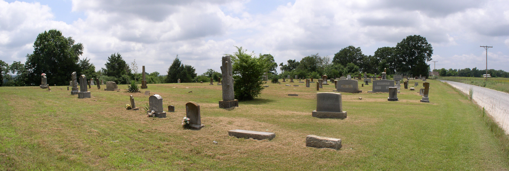
003 Mount Olive
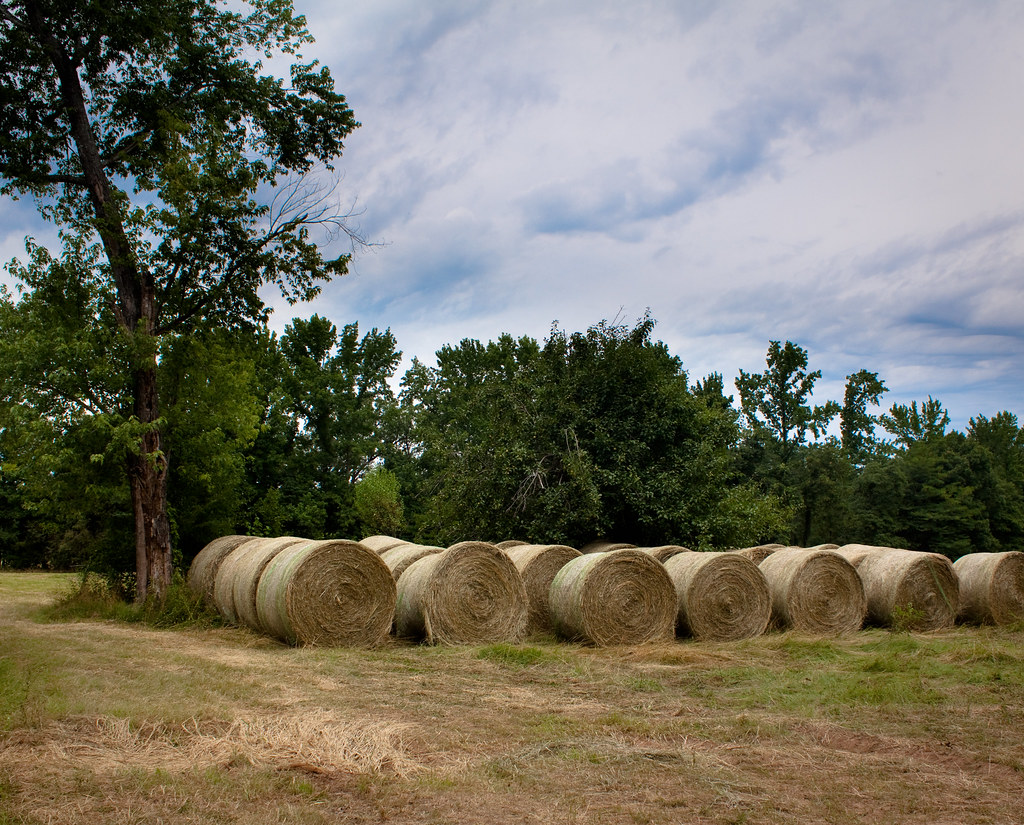
waves of hay

Wilkerson Mary A
Topographic Map of Vilonia, AR, USA
Find elevation by address:

Places in Vilonia, AR, USA:
Places near Vilonia, AR, USA:
35 S Coker Rd
35 S Coker Rd
40 S Coker Rd
40 S Coker Rd
83 Arapaho Trail
Main St, Vilonia, AR, USA
AR-, Vilonia, AR, USA
Cypress Township
244 Beryl Rd S
US-64, Vilonia, AR, USA
44 Hiawatha Ln
Eagle Township
2 Indianhead Dr
Palarm Township
727 Rocky Point Rd
727 Rocky Point Rd
4310 W Justice Rd
4310 W Justice Rd
US-64, Conway, AR, USA
784 Rocky Point Rd
Recent Searches:
- Elevation of Corso Fratelli Cairoli, 35, Macerata MC, Italy
- Elevation of Tallevast Rd, Sarasota, FL, USA
- Elevation of 4th St E, Sonoma, CA, USA
- Elevation of Black Hollow Rd, Pennsdale, PA, USA
- Elevation of Oakland Ave, Williamsport, PA, USA
- Elevation of Pedrógão Grande, Portugal
- Elevation of Klee Dr, Martinsburg, WV, USA
- Elevation of Via Roma, Pieranica CR, Italy
- Elevation of Tavkvetili Mountain, Georgia
- Elevation of Hartfords Bluff Cir, Mt Pleasant, SC, USA