Elevation of Villages Of Zinfandel, Rancho Cordova, CA, USA

Location: United States > California > Sacramento County > Gold River >

Longitude: -121.27265

Latitude: 38.5783951

Elevation: 32m / 105feet

Barometric Pressure: 101KPa

Elevation Map:

elevation map of Villages Of Zinfandel, Rancho Cordova, CA, USA

Satellite Map:

Satellite map of Villages Of Zinfandel, Rancho Cordova, CA, USA

Related Photos:

calp espee railroads roseville sp southernpacific antelope ca usa california gp9e
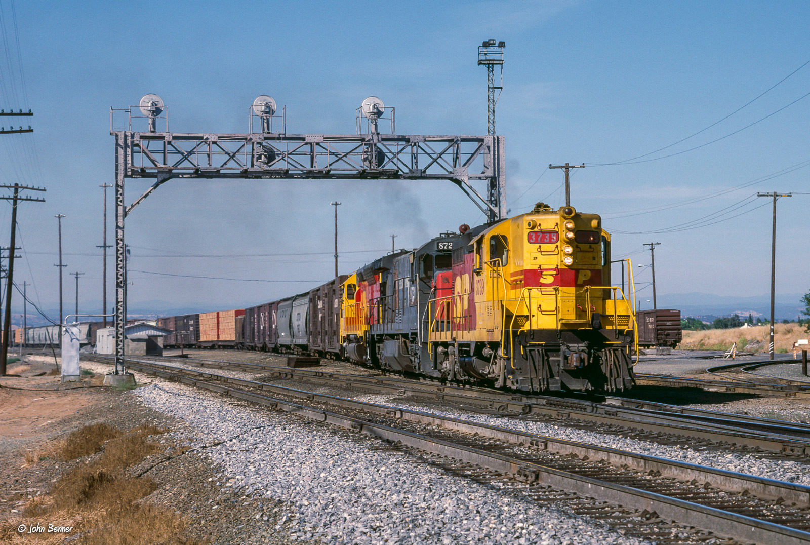
SP 3739 West at Antelope, CA
rain calmbeforethestorm yikes americanriver hunkerdown elniño sandbars photomatix crazyaboutnature powerfulstorm 9682742 winksplace singleimageprocess floodingstatewidecalifornia loomingstorm‘likelytobememorable’ loomingweather
Calm Before the Storm
landscape water nature sunrise trees river americanriver folsom california bridge bridges arch architecture reflection panorama sky colorful
Rainbow Bridge Panorama
bar project foods day folsom whole 1000 952
Day 952: Shopping_0244d
models jenny joyce plus kiley sweater sweeties session
Jenny-Joyce-Kiley_0838
model maya mizzmayhem hall showing moves sweater sweeties session
Maya-Mizz-Mayhem-Hall_0888
california lighting trees sky moon sunrise landscape twilight haze oak landmark olympus luna explore e3 moonset sacramentocounty 1000views californialandscape zd 1260mm olympuse3
full moon at sunrise
california sacramento flowers cactus red beauty dramatic
Cactus Flower
Hazel Ave Corridor
models jenny joyce with her kush hat sweater sweeties session
JennyJoyce _1077
california wild flower 20d field canon landscape photo spring seed photograph poppy poppies wildflower lupine brodiaea vetch naturewatcher explorer312 familygetty
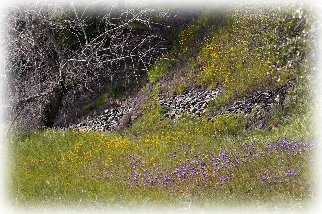
Spring Wildflowers 0026
california 50mm model nikon bra grace jeans beautifulwomen sacramento alienbee tunk 2011 strobist d700 ericcourtney naomimay thinktunkproductions
Naomikens - Grace under Pressure
one duck row sunset
Duck_No-Row_1148
california park water beauty river landscape rocks outdoor stones pebbles riverbed sacramento riverbank americanriver ancilhoffman
Sacramento. Ancil Hoffman Park. American River
acullen fallcolors landscape
Up River
landscape sunset folsom sacramento california silhouette cloud oak tree trees pastel hill hillside foothill foothills canon sony nikon fuji outdoors nature travel
Simple silhouette
california morning trees sunlight sunshine fog sunrise landscape olympus explore sunburst sacramento e3 magical sacramentocounty 1000views californialandscape zd effieyeaw 1260mm olympuse3
Foggy Mornings
california sky foothills storm tree colors clouds landscape oak folsom grasses prairie iphone iphonography ernogy
Prairie Storm
baretrees california dead deadtree drought field landscape nature overcast summer tree
Deadtree 2018
365 monthly americanriver rioamericano 3652015imstillstanding
2015-02-08 - twin trees, February
california ca sky usa color tree clouds landscape scenery rocks folsom boulders sacramento prairie oaktree ernogy
Prairie Sunrise - - - Folsom, CA
park fall sidewalk path autumn leaves trees tree landscape
Granite Park in Autumn
2017 2017084 365 path trees sacramento
the road not taken
americanriver americanriverparkway
6086 evening reflections
sacramentocounty ardenarcade lawnwatering landscaping
Suburban Pastoral
drone dji mavic mavicair djimavic aerial sky water bridge road reflection reflections landscape nature architecture trees colorful rocks rocky river lake folsom california
Lake Natoma Crossing - Aerial
cinderblockhouse sideyard landscaping backyardfence fruitridgeroad
Side Yard
ernogy folsom landscape california ca clouds canon colors nature northerncalifornia oak oaktree silhouette sky sunrise sunset usa outdoors foothills canon7d
Oak Burn
california lighting sky storm tree colors silhouette landscape oak folsom thunderstorm sacramento prairie ernogy oaklightning
Sunset Lightning
bridge bridges lights light street crossing river reflection water longexposure reflections sky morning landscape nature fineart fineartphotography wide wideangle pentax
Lake Natoma Crossing