Elevation of Venables Dr, Lewes, DE, USA
Location: United States > Delaware > Sussex County > Lewes >
Longitude: -75.133735
Latitude: 38.7478407
Elevation: 3m / 10feet
Barometric Pressure: 101KPa
Elevation Map:
Satellite Map:
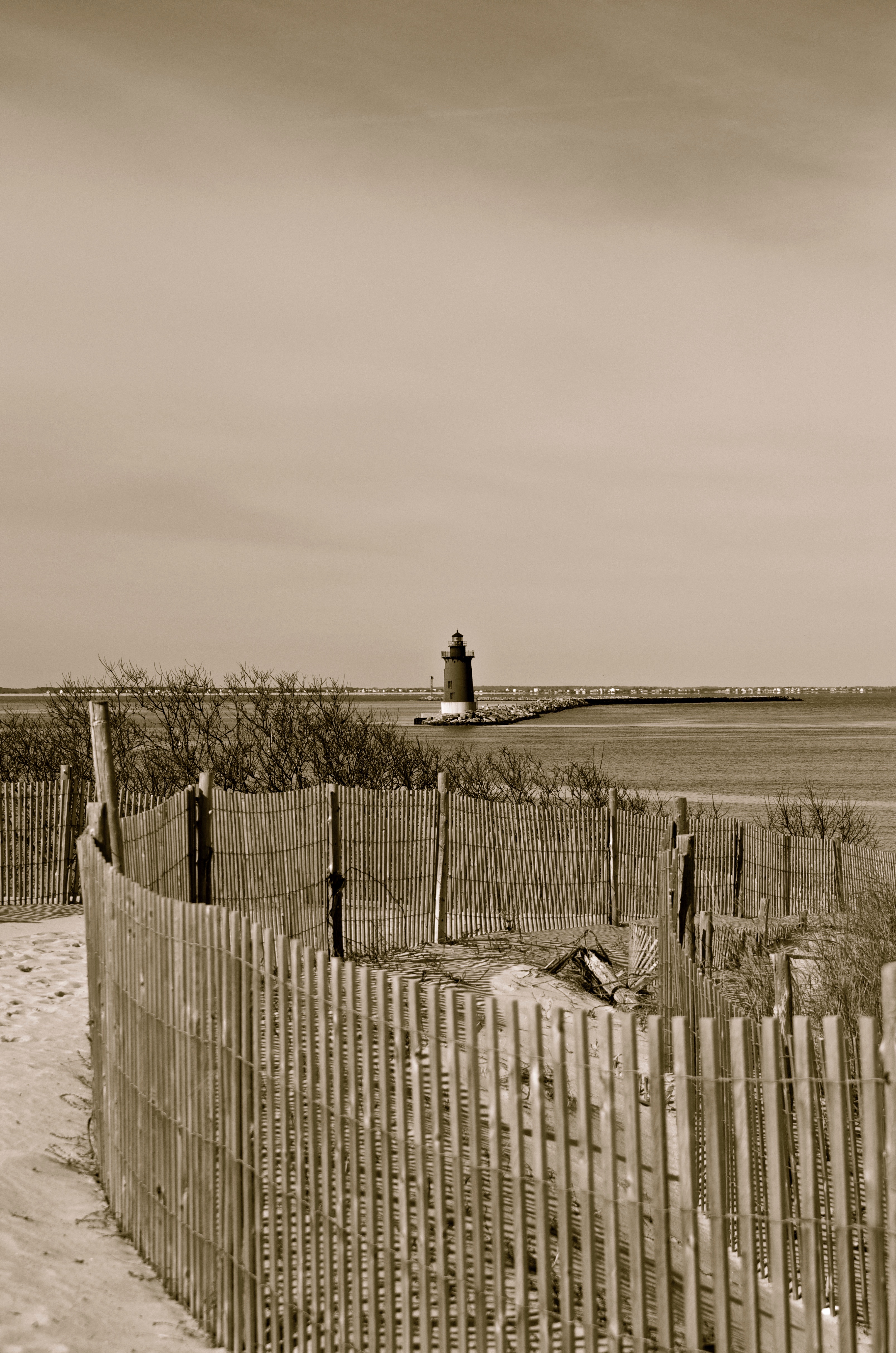
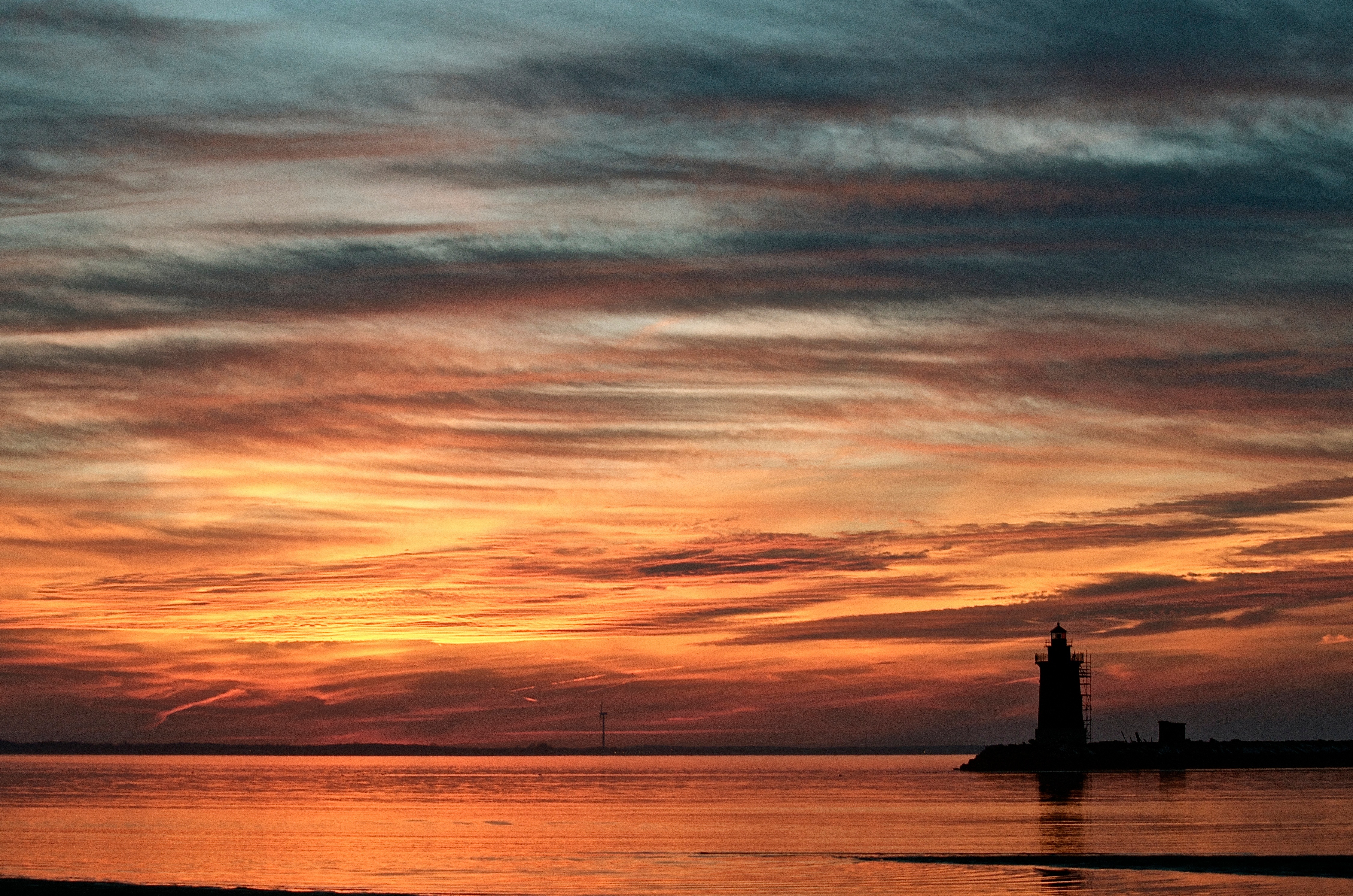
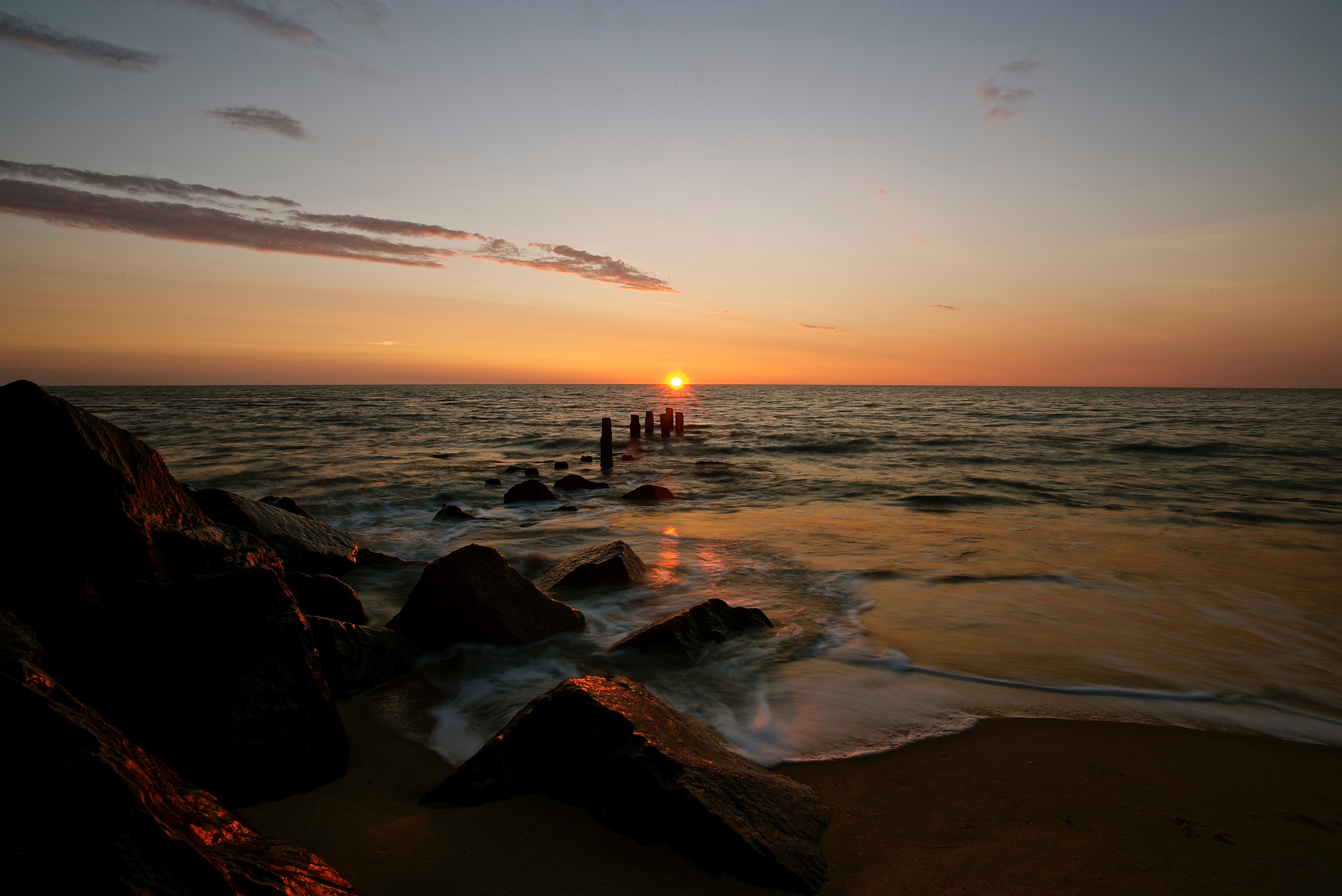
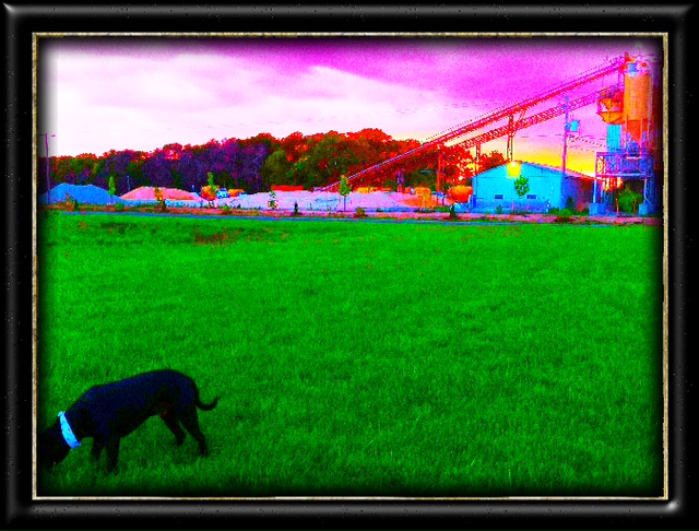
Related Photos:

Geese above the grasses - Explored (12/28/13)

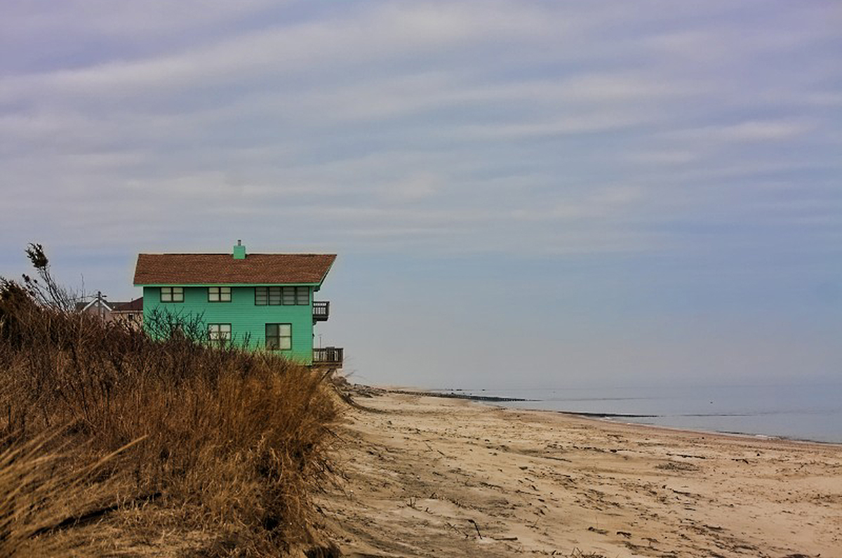
Damage From Sandy???
Perpetually in Compliment
Broadkill Beach
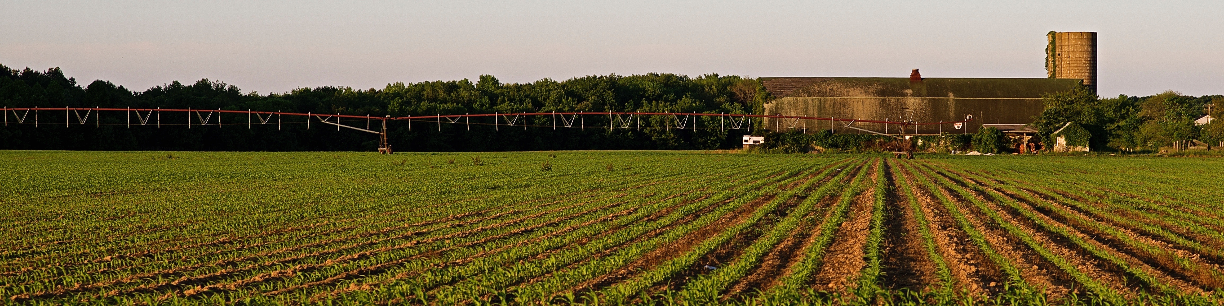
All in a Row
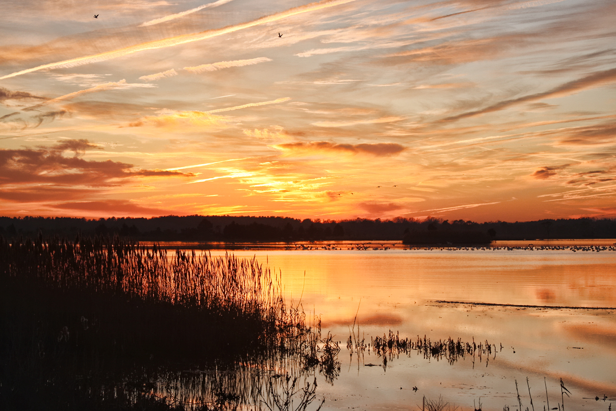
Delaware Sunset
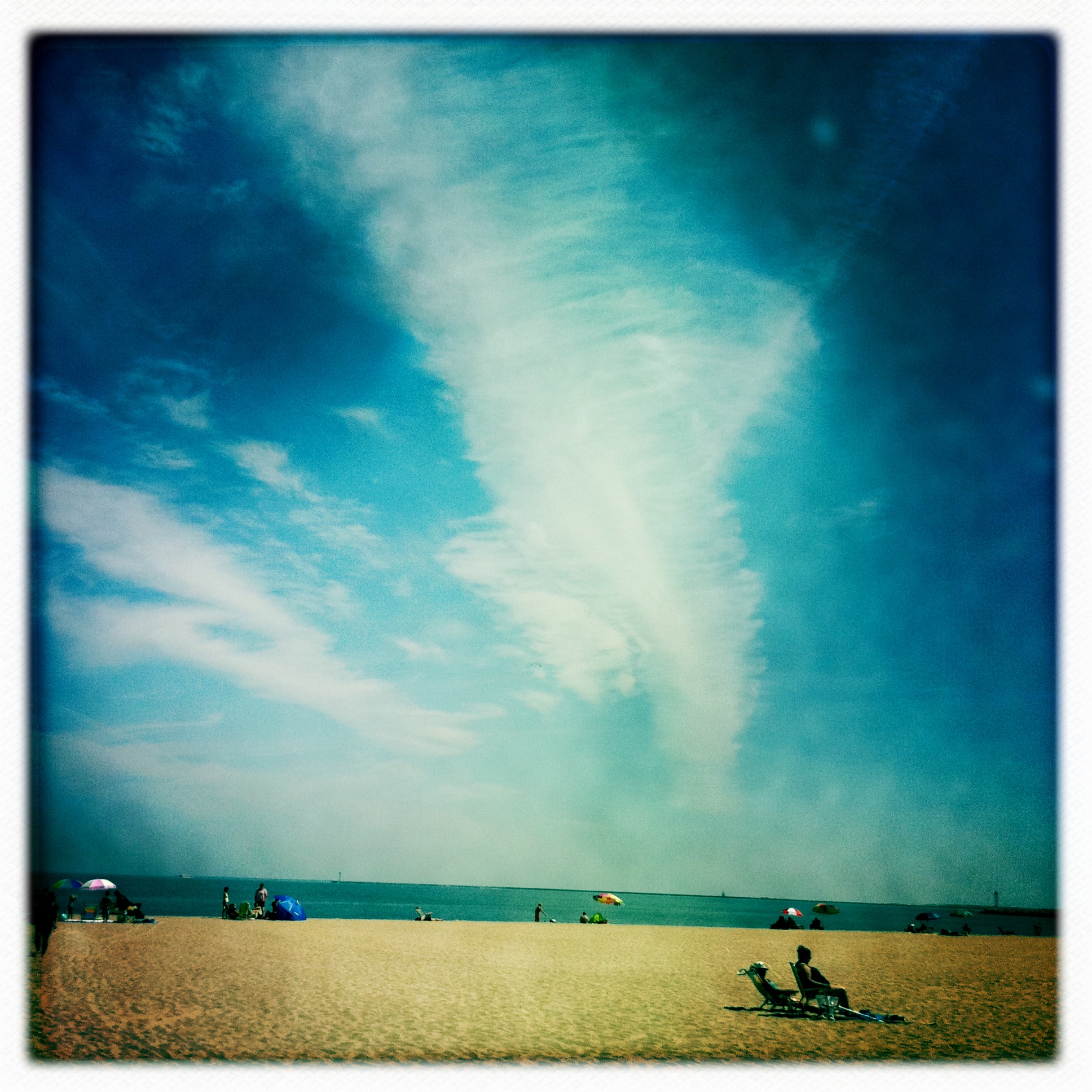
Lounge Under Sky
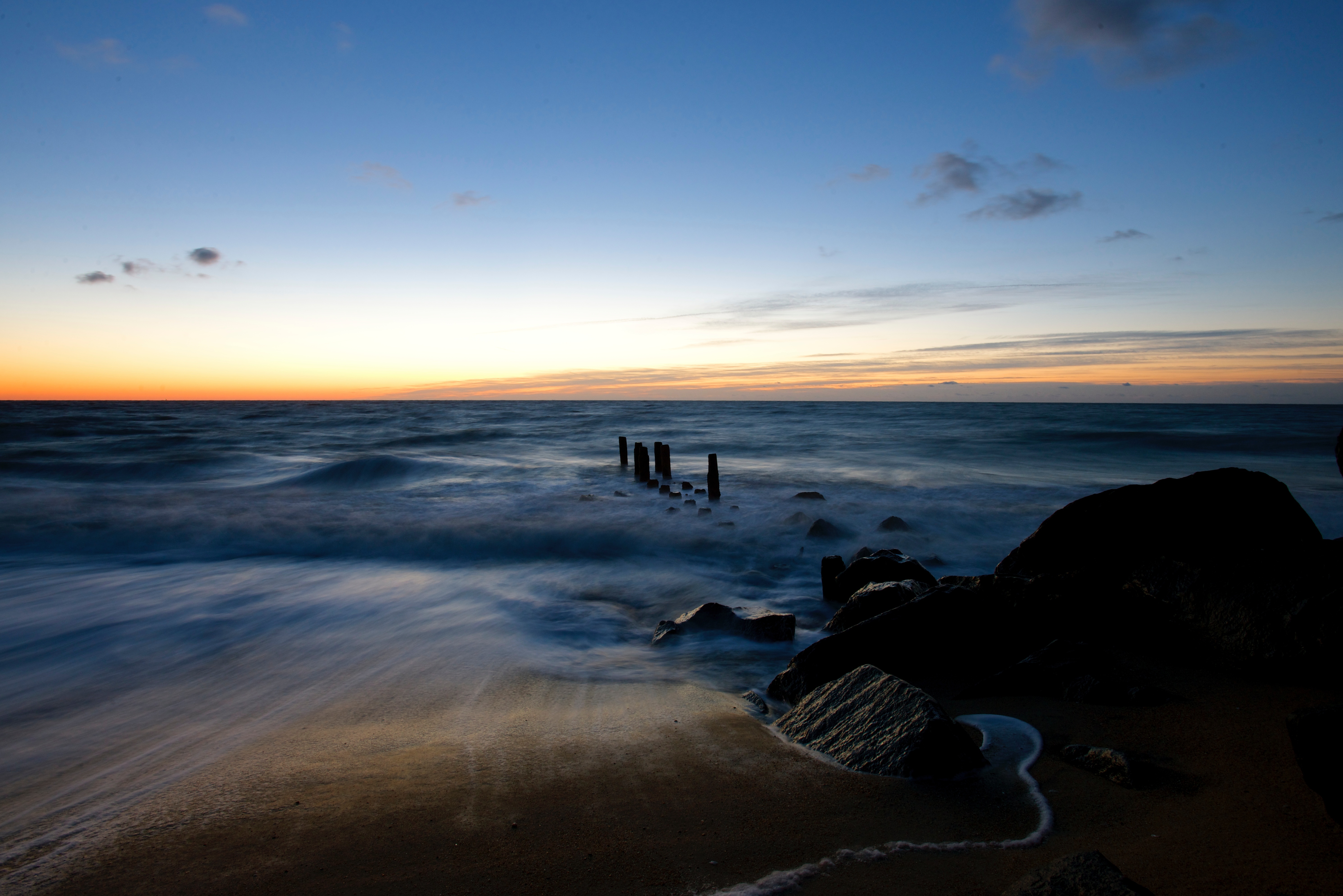
Herring Point Before Sunrise - Explored (9/15/14)

moon walk
Breakwater Harbor - Lewes Delaware
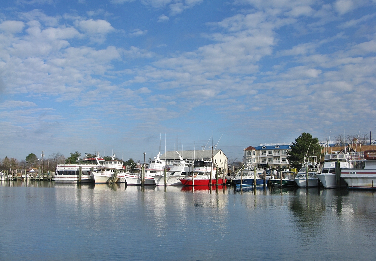
Lewes Harobr

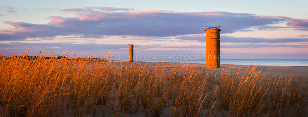
Keeping watch
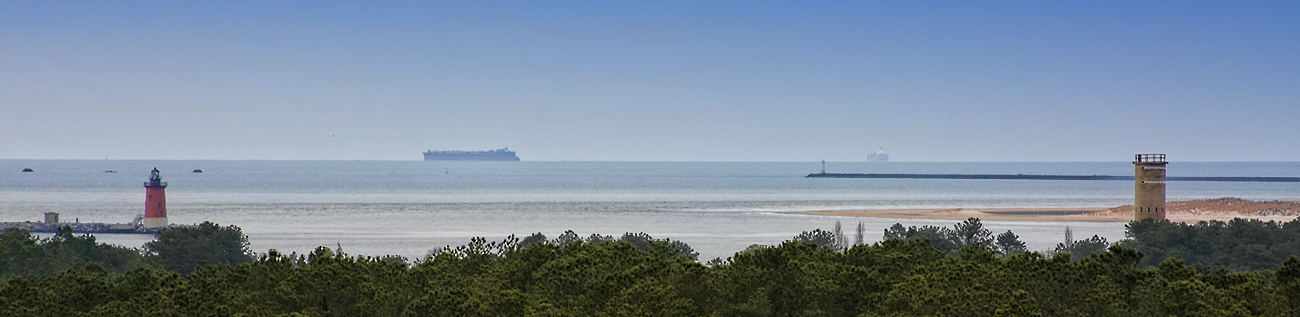
East Coast Pano

Lewes Beach, Delaware : 2013 #FromDaBeach #gartoonz
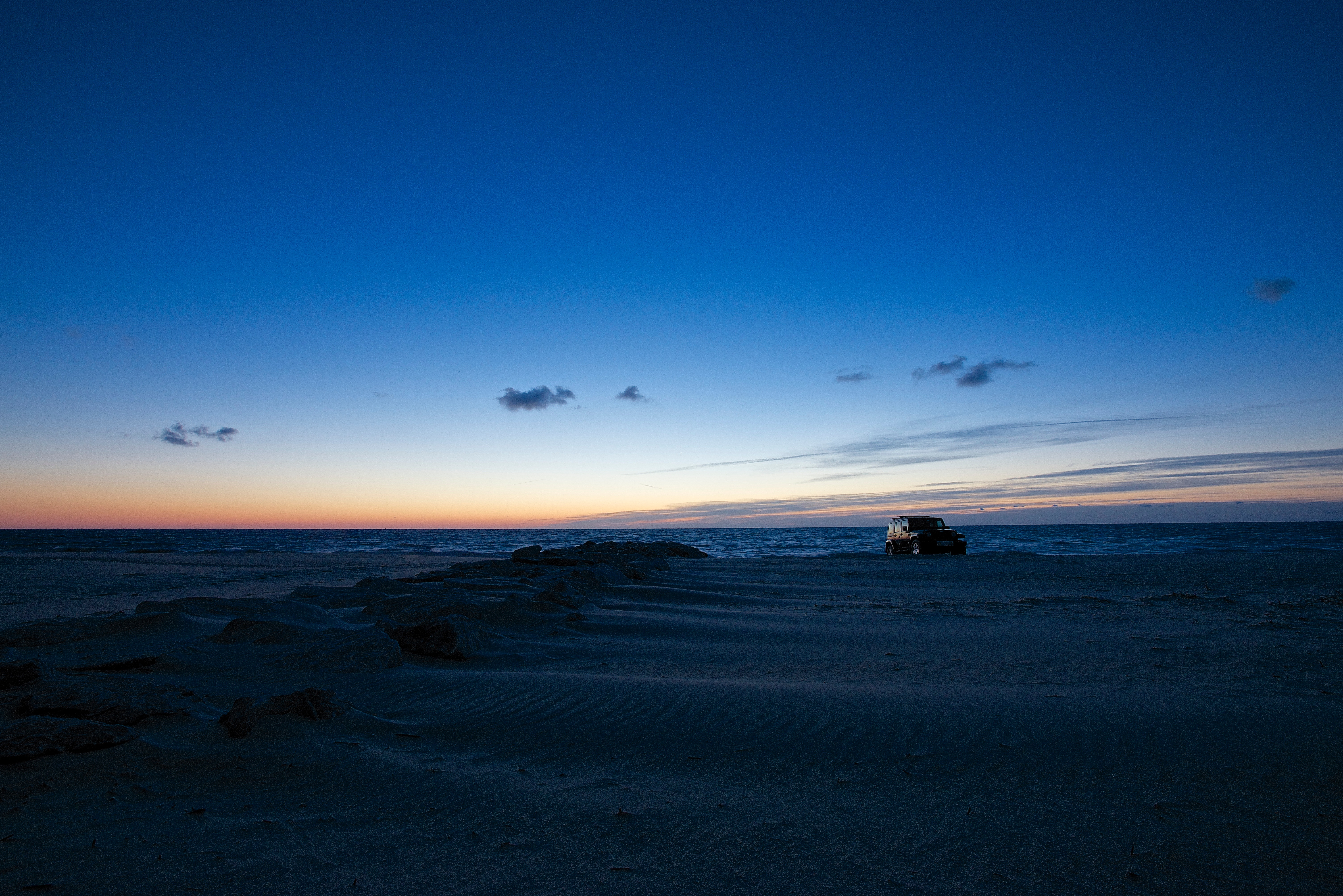
Alone On the Beach - Explored (9/15/14)

Catch of the Day
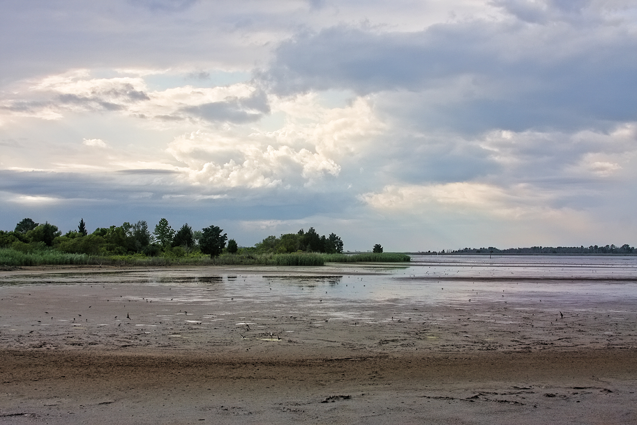
Prime Hook
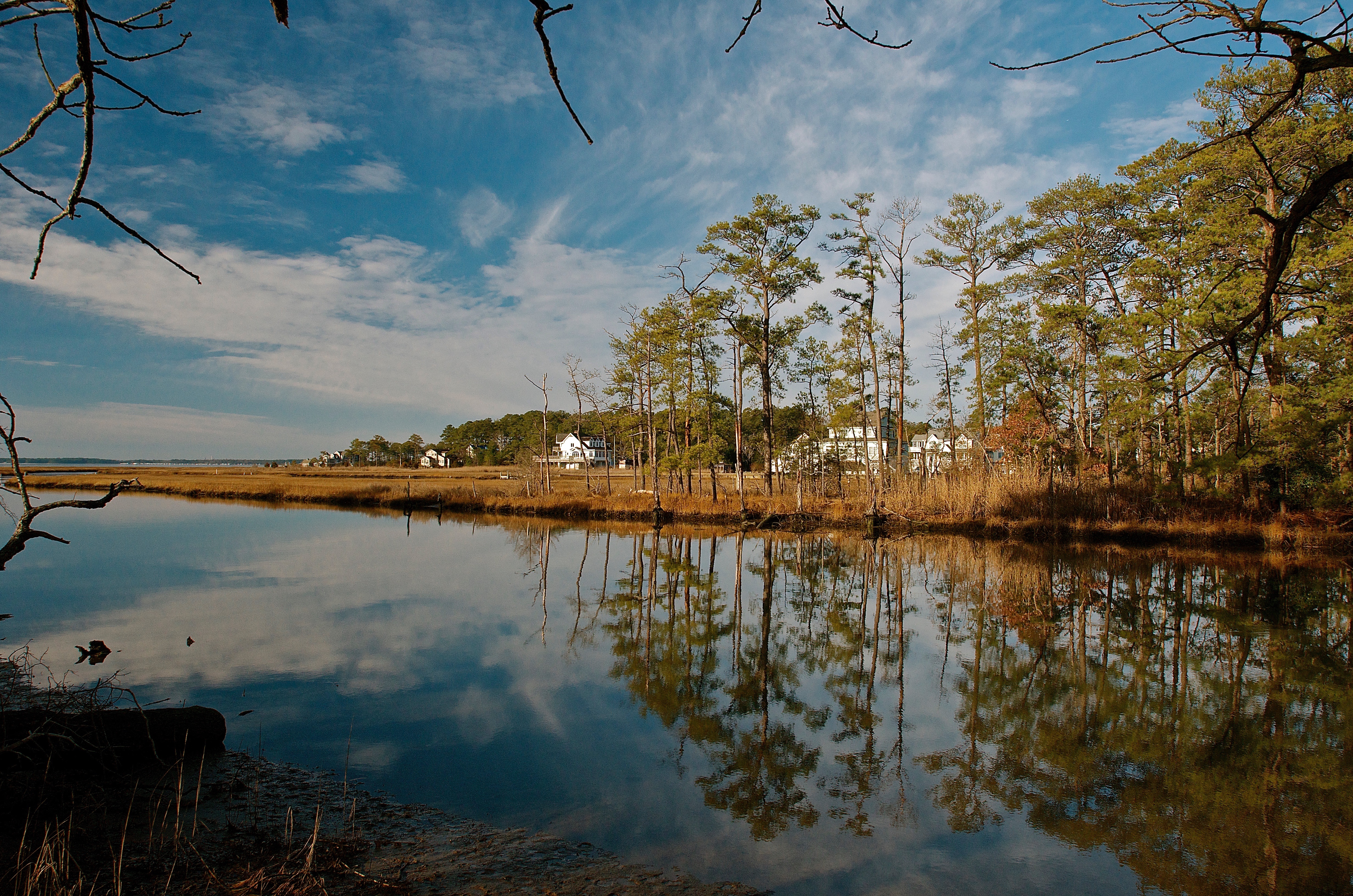
Rehoboth Canal
The Painted Sky
Morning Light
SEVERAL SUBJECTS - 5.11.12 (set) 5
Topographic Map of Venables Dr, Lewes, DE, USA
Find elevation by address:

Places near Venables Dr, Lewes, DE, USA:
17504 Venables Dr
17471 Venables Dr
17256 Venables Dr
17309 Venables Dr
17259 Venables Dr
17256 Venables Dr
36515 Senators Dr
35222 Seaport Loop
Senators Drive
Bay Crossing
35427 Pilotboat Dr
35427 Pilotboat Dr
35427 Pilotboat Dr
35218 Pilotboat Dr
35203 Overfalls Dr N
35254 Pilotboat Dr
35254 Pilotboat Dr
1 Bryan Dr, Rehoboth Beach, DE, USA
2007 Ramblewood Dr
2030 Ramblewood Dr
Recent Searches:
- Elevation of Corso Fratelli Cairoli, 35, Macerata MC, Italy
- Elevation of Tallevast Rd, Sarasota, FL, USA
- Elevation of 4th St E, Sonoma, CA, USA
- Elevation of Black Hollow Rd, Pennsdale, PA, USA
- Elevation of Oakland Ave, Williamsport, PA, USA
- Elevation of Pedrógão Grande, Portugal
- Elevation of Klee Dr, Martinsburg, WV, USA
- Elevation of Via Roma, Pieranica CR, Italy
- Elevation of Tavkvetili Mountain, Georgia
- Elevation of Hartfords Bluff Cir, Mt Pleasant, SC, USA