Elevation of Lewes, DE, USA
Location: United States > Delaware > Sussex County >
Longitude: -75.139349
Latitude: 38.7745565
Elevation: 4m / 13feet
Barometric Pressure: 101KPa
Elevation Map:
Satellite Map:
Related Photos:
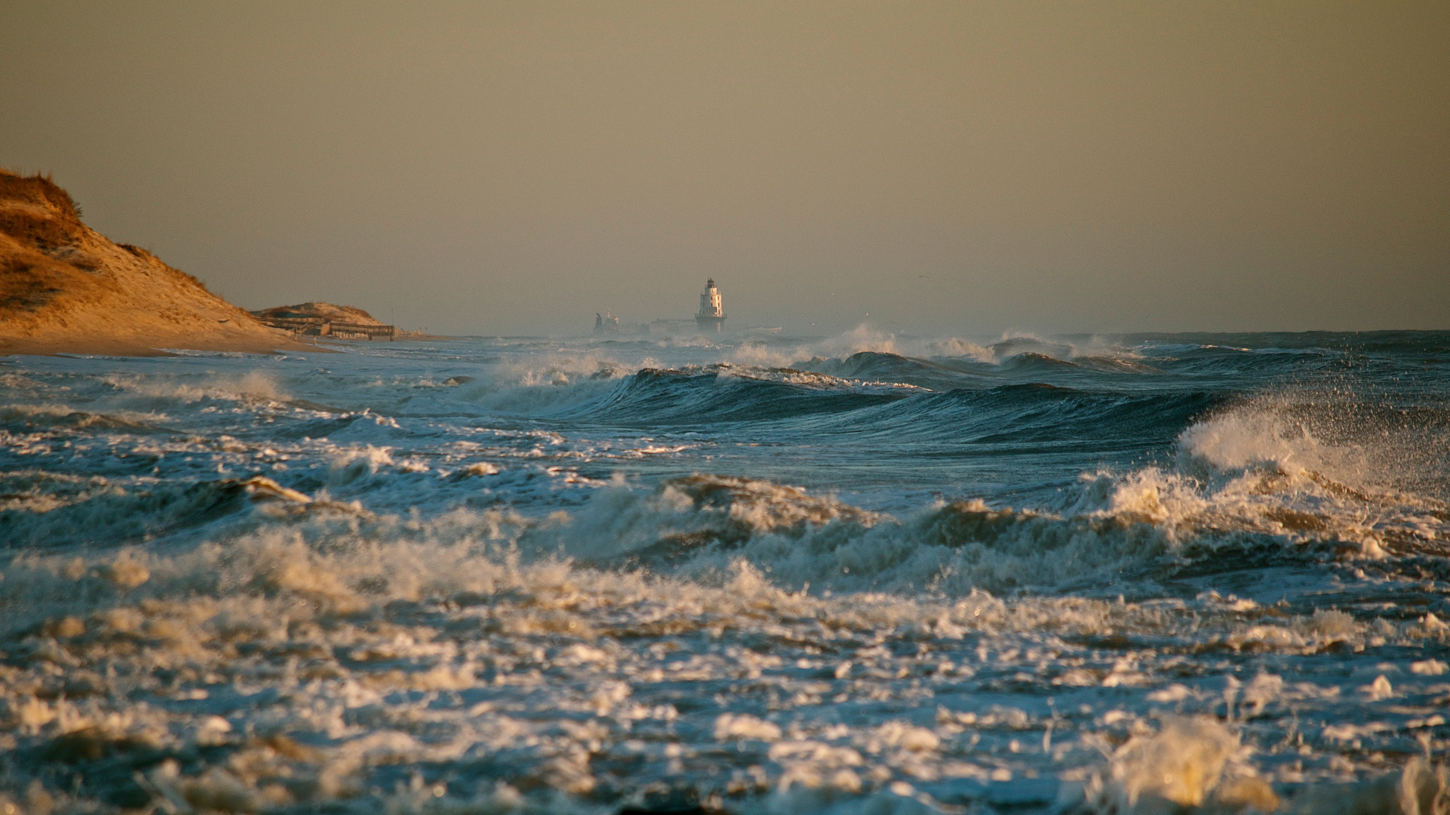
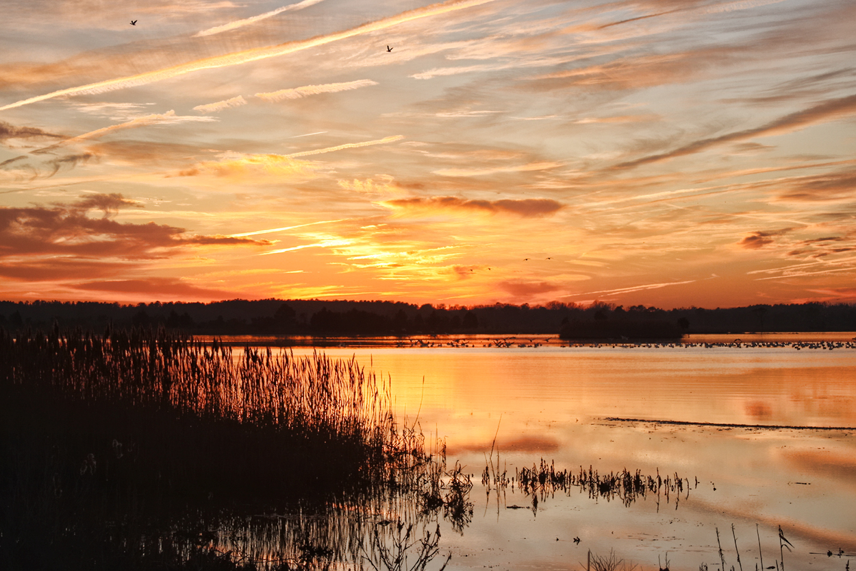
Mother Nature's Fury

Frostbitten Berries - Explored (2/6/13)

The Fishing Pier - B&W
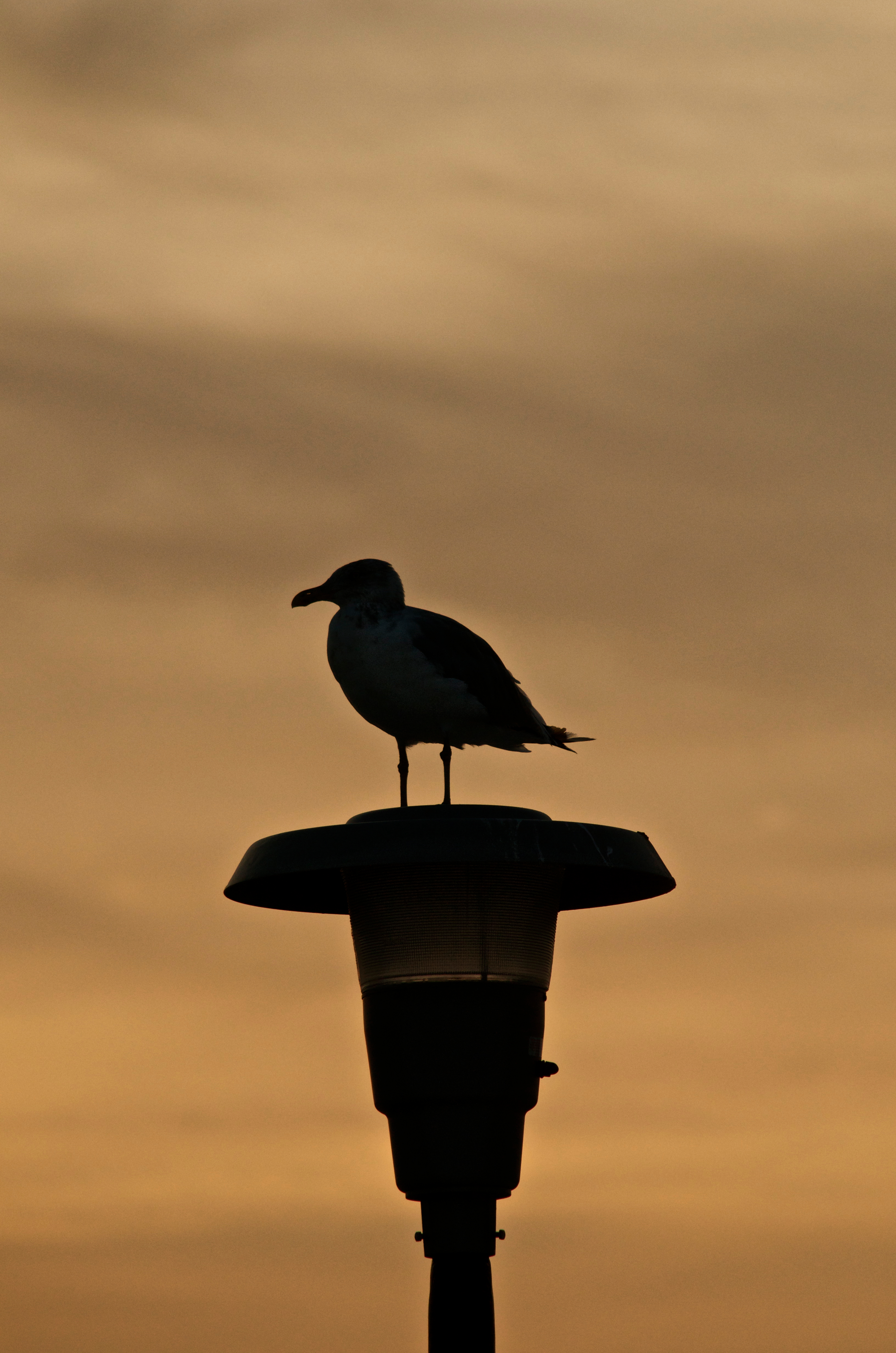
Seagull Silhouette - Explored (9/17/12)

Doing its job...

The Delaware Bay view from the ferry
Enjoying the view

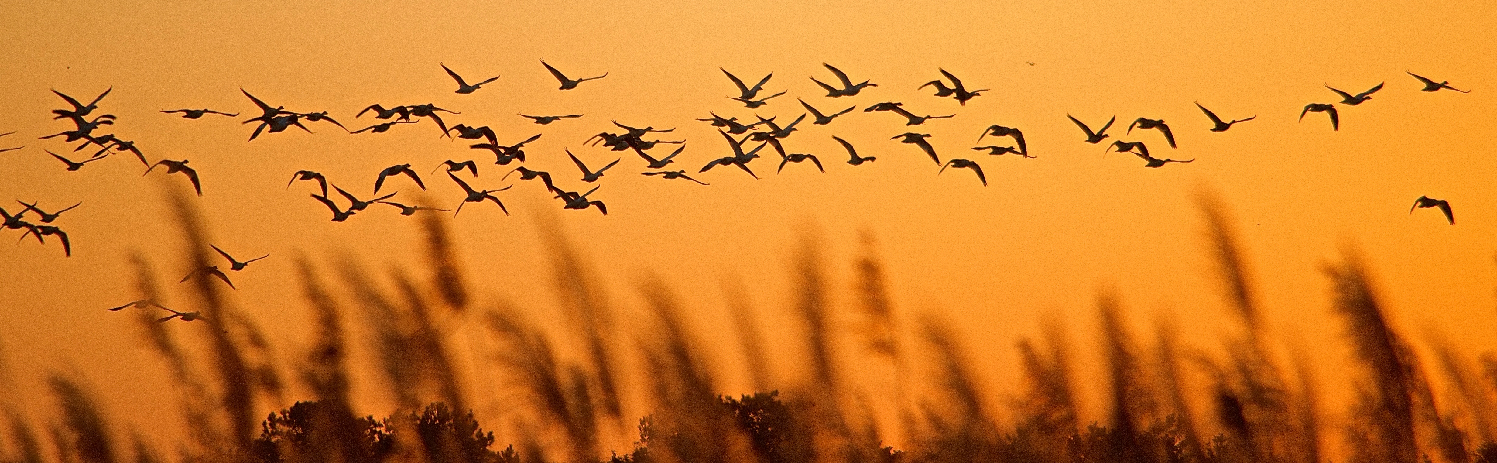
Pelicans at Sunrise

Feathers Flying
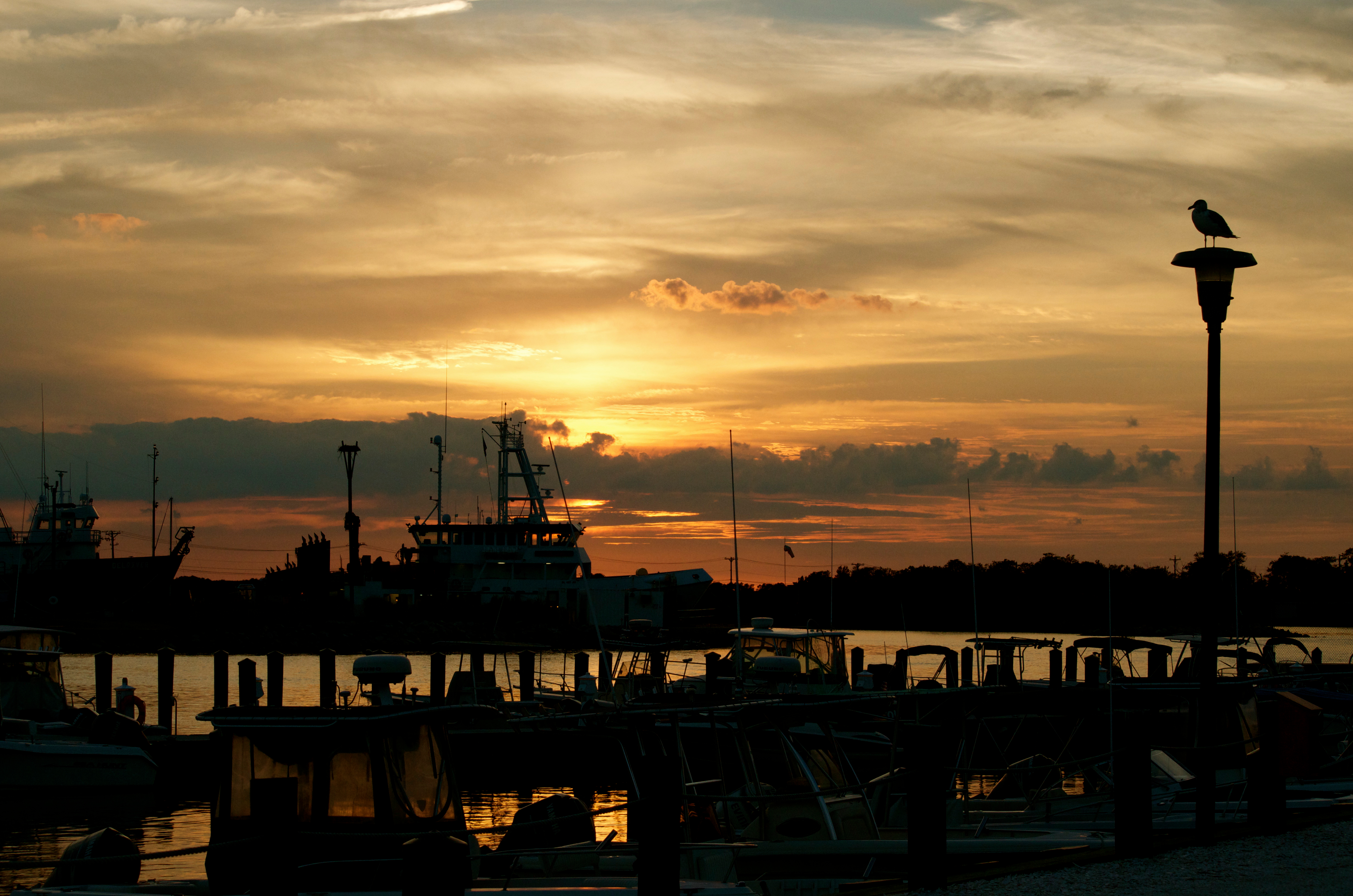
Sunset over the marina

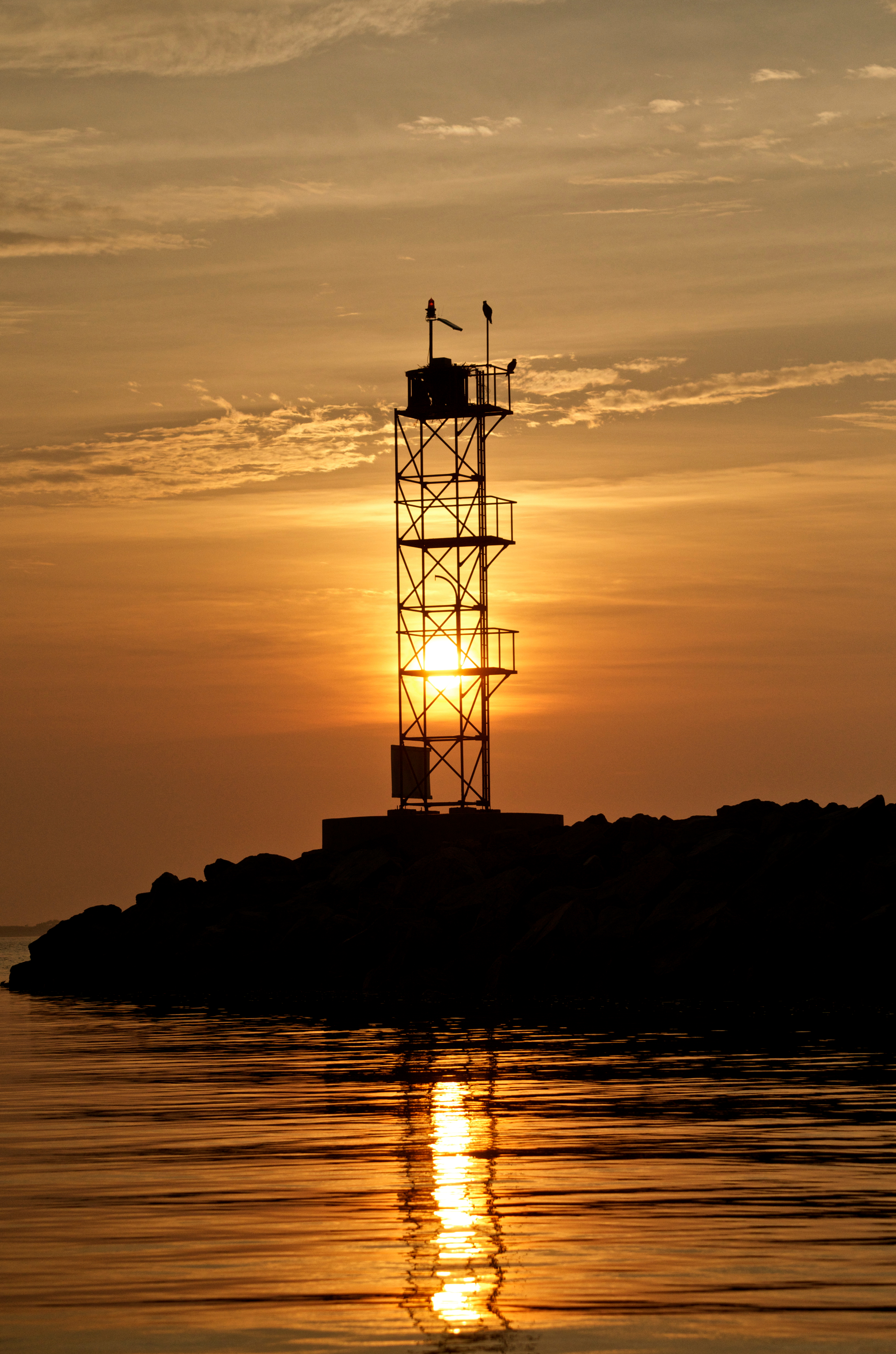
Early Morning Sun
Cape May - Lewes Ferry Wall

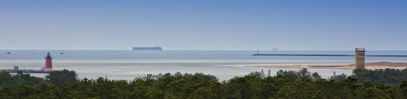
Cape Henlopen State Park - Observation Tower
Artwork in Framing

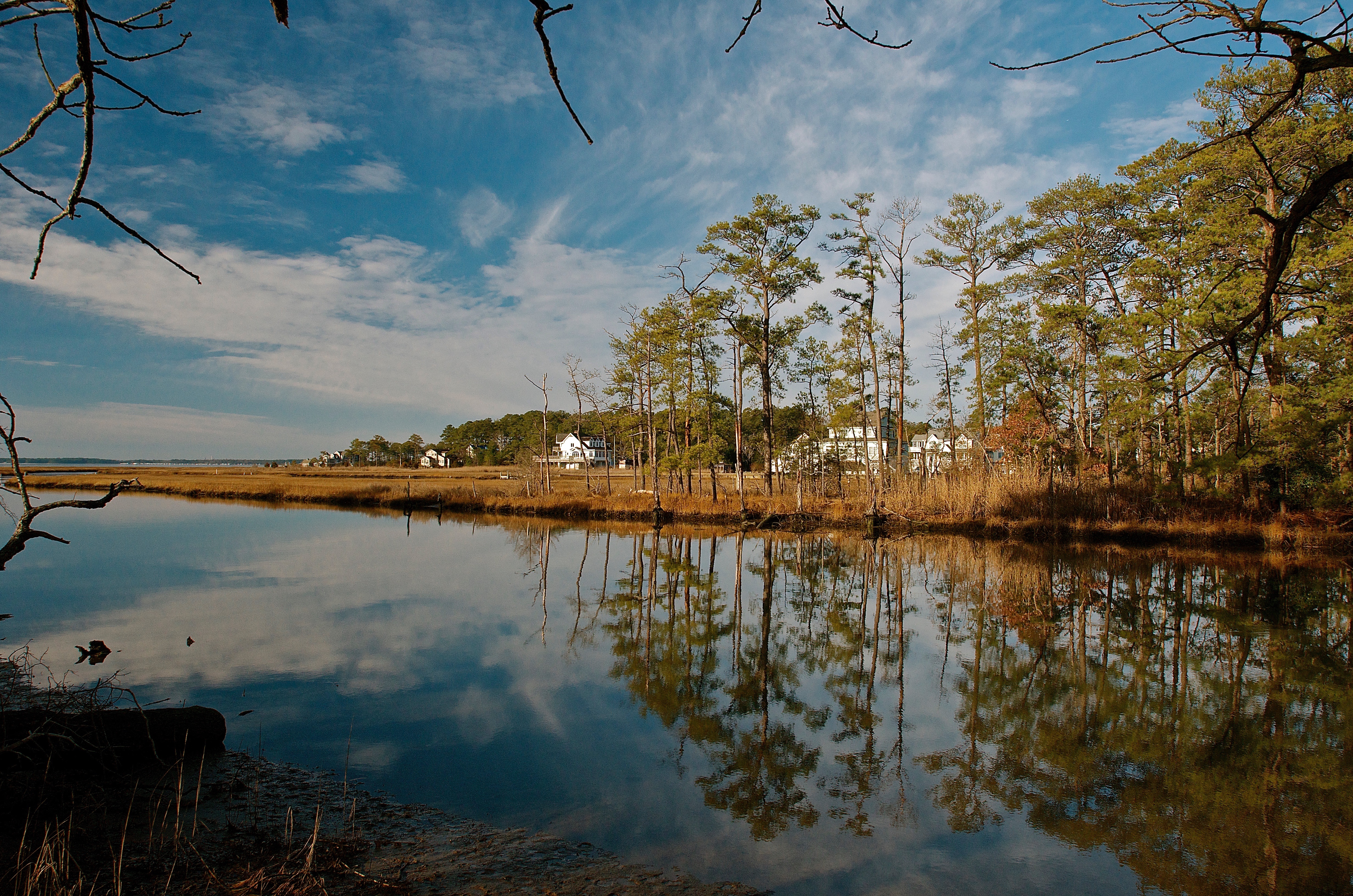
Early Morning Tranquility

Fishing on the wall - B&W

Swan at Tranquil Trail Cache

My Son - Ghostly Portrait

Forest Floor

Great Blue in Flight
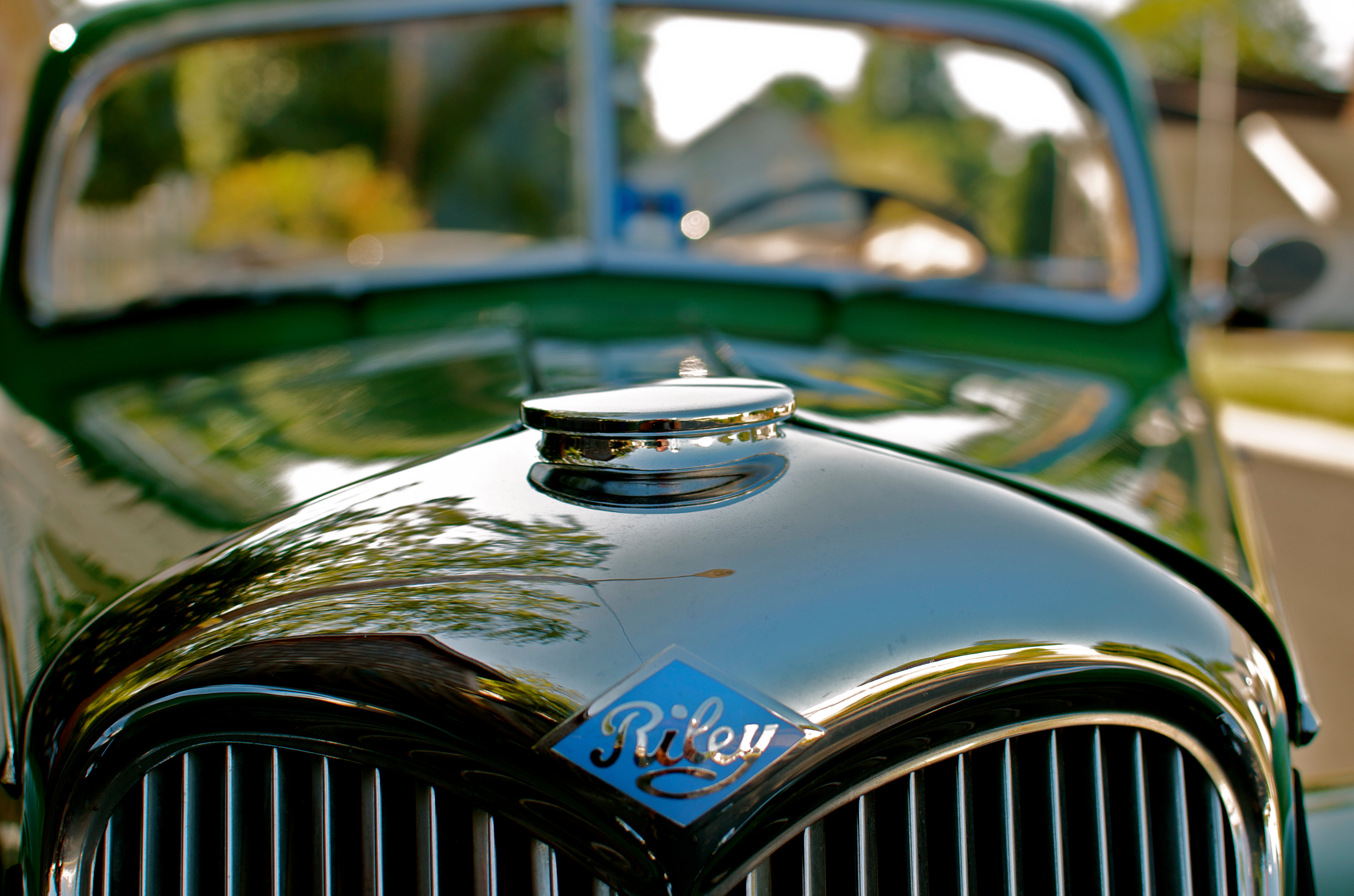
The 1950 Riley
Geese above the grasses - Explored (12/28/13)
_NP_6076-Edit.jpg

Damage From Sandy???

Prime Hook
All in a Row
Broadkill Beach
Breakwater Harbor - Lewes Delaware
Delaware Sunset
Rehoboth Canal
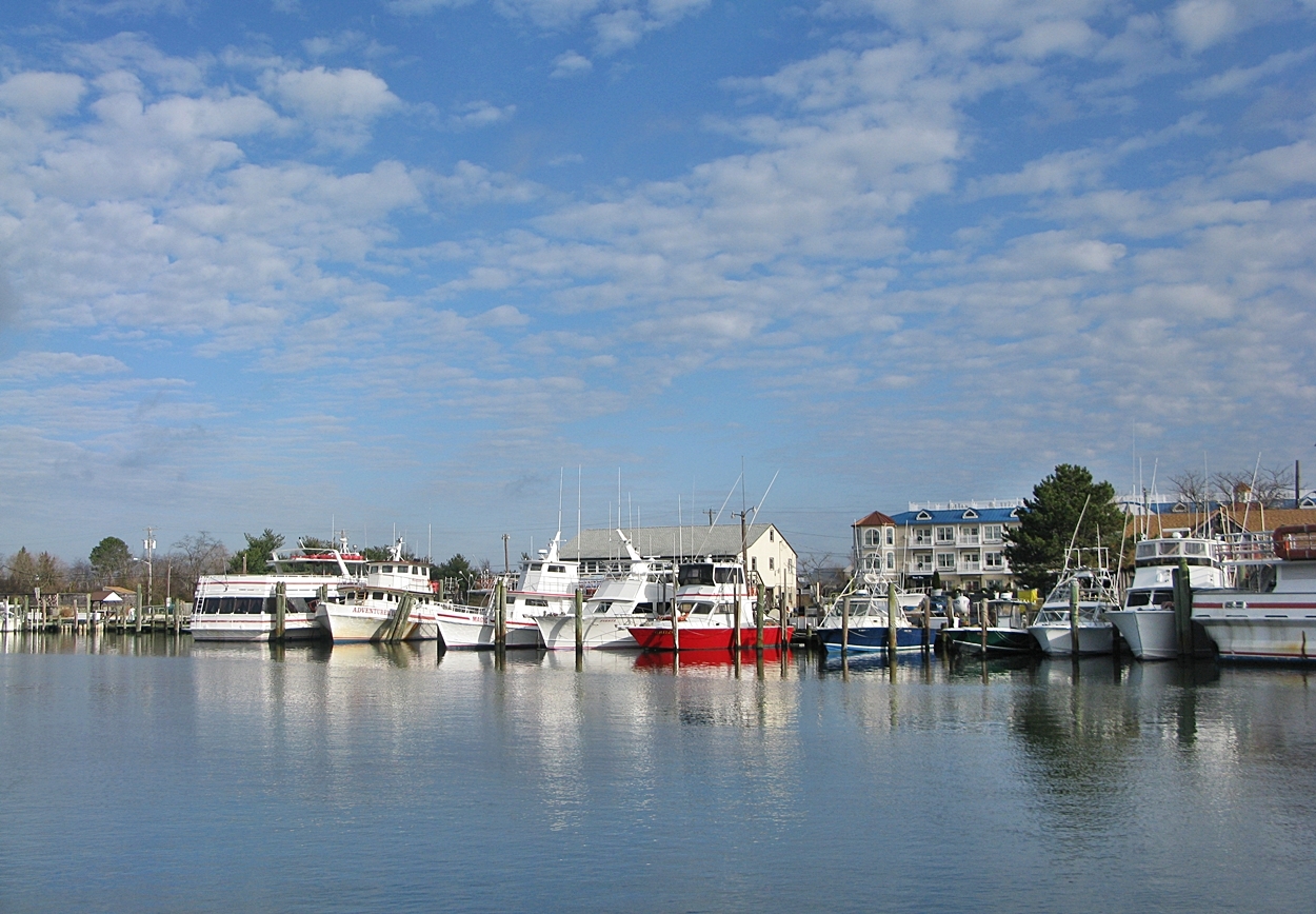
Lewes Harobr
East Coast Pano
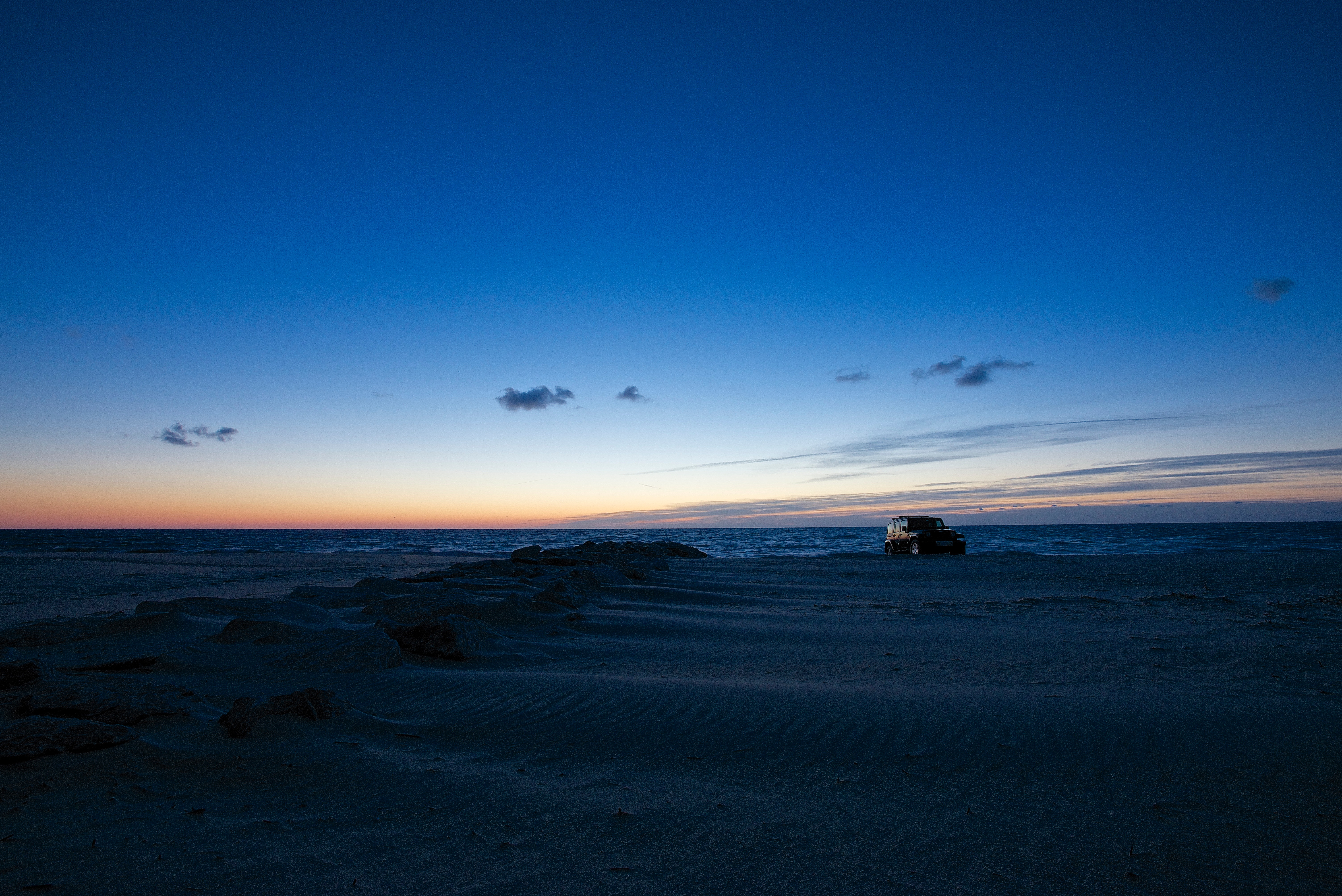
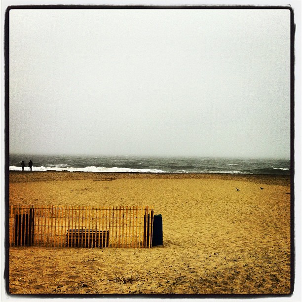
Alone On the Beach - Explored (9/15/14)
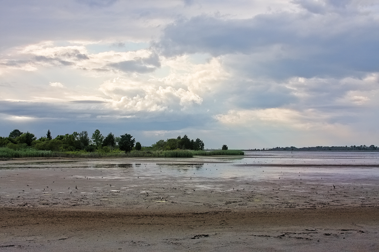
Prime Hook
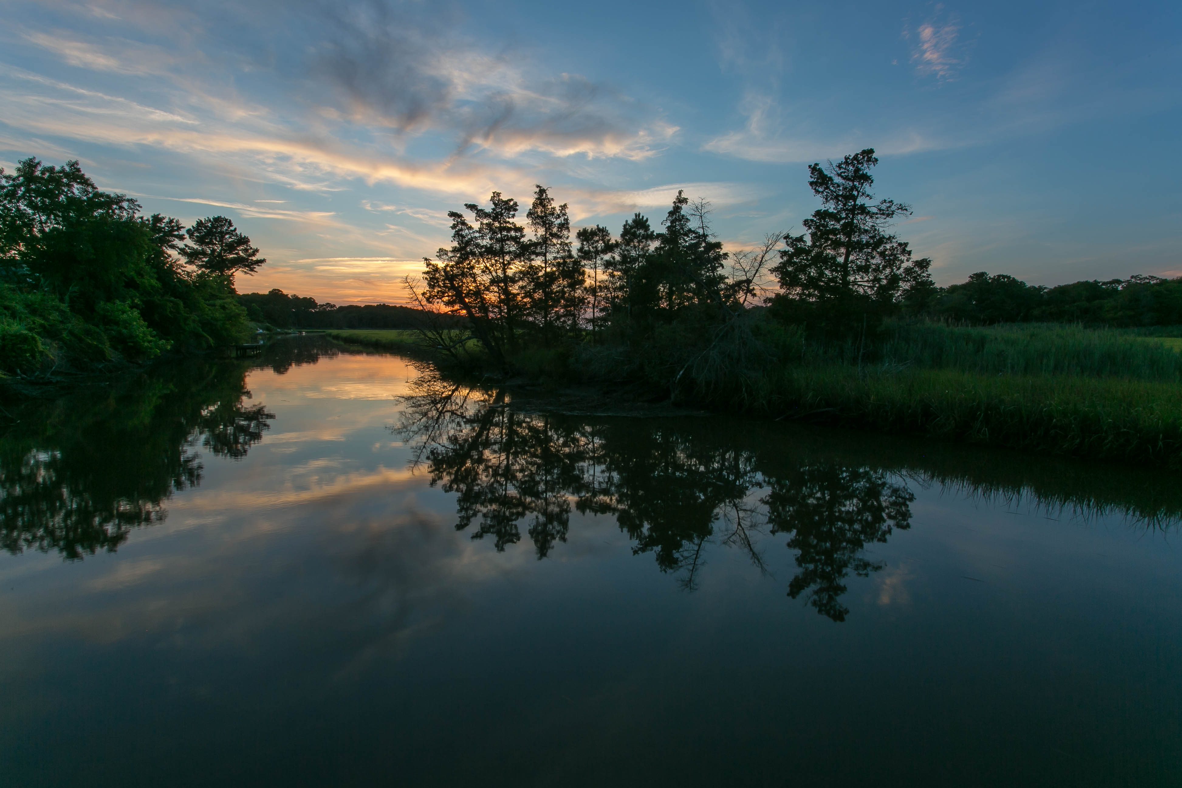
Sunset Reflections Canary Creek (Lewes, DE)

LEWES SUNSET : WHEN THE COWS COME HOME - 11.02.2012

Brilliant Colors
The Atlantic

sparkle... (Explored Nov 18, 2011)

Early Morning - Explored (7-14-14)

Morning Light
img211.jpg
Topographic Map of Lewes, DE, USA
Find elevation by address:

Places in Lewes, DE, USA:
DE-24, Lewes, DE, USA
Wellington Court
Camp Arrowhead Rd, Lewes, DE, USA
Herring Landing, Lewes, DE, USA
Woodland Cir, Lewes, DE, USA
U.S. 9, Lewes, DE, USA
Wil King Rd, Lewes, DE, USA
W Mint Pl, Lewes, DE, USA
Rd B, Lewes, DE, USA
Ward Ave, Lewes, DE, USA
Willow Creek Rd, Lewes, DE, USA
E Conley Cir, Lewes, DE, USA
Best Ln, Lewes, DE, USA
Rd A, Lewes, DE, USA
Robinsonville Rd, Lewes, DE, USA
Pilottown Rd, Lewes, DE, USA
6 Indiana Ave, Lewes, DE, USA
Log Cabin Hill Rd, Lewes, DE, USA
Janice Rd, Lewes, DE, USA
Minos Conaway Rd, Lewes, DE, USA
Homestead Way, Lewes, DE, USA
Robinsonville Rd, Lewes, DE, USA
Camp Arrowhead Rd, Lewes, DE, USA
Senators Drive
Villa Circle
Angola Road
William Dorsey Street
Southern Pines Drive
Bookhammer Landing Road
Albertson Court
Arabian Acres Road
Dionis Drive
Road 285a
Bay Breeze Drive
Show Jumper Lane
Dorman Farm Lane
Pilottown Road
Arabian Acres
Boat Hole Boulevard
Ramble Road
Buttonwood Drive
Union Circle
Places near Lewes, DE, USA:
Long & Foster Lewes, De
209 Shipcarpenter St
114 Schley Ave
125 Jefferson Ave
Beebe Healthcare
106 Beebe Ave
500 Dupont Ave
426 Johnson Ave
18237 Show Jumper Lane
Bay Breeze Drive
Show Jumper Lane
6 Indiana Ave, Lewes, DE, USA
Wellington Court
35203 Overfalls Dr N
35254 Pilotboat Dr
35254 Pilotboat Dr
35427 Pilotboat Dr
35427 Pilotboat Dr
35427 Pilotboat Dr
20 Harborview Rd
Recent Searches:
- Elevation of Corso Fratelli Cairoli, 35, Macerata MC, Italy
- Elevation of Tallevast Rd, Sarasota, FL, USA
- Elevation of 4th St E, Sonoma, CA, USA
- Elevation of Black Hollow Rd, Pennsdale, PA, USA
- Elevation of Oakland Ave, Williamsport, PA, USA
- Elevation of Pedrógão Grande, Portugal
- Elevation of Klee Dr, Martinsburg, WV, USA
- Elevation of Via Roma, Pieranica CR, Italy
- Elevation of Tavkvetili Mountain, Georgia
- Elevation of Hartfords Bluff Cir, Mt Pleasant, SC, USA