Elevation map of Vellore, Tamil Nadu, India
Location: India > Tamil Nadu >
Longitude: 78.9288242
Latitude: 12.8464805
Elevation: 290m / 951feet
Barometric Pressure: 98KPa
Elevation Map:
Satellite Map:
Related Photos:

Someone got to sleep normally on the back seat

:-)
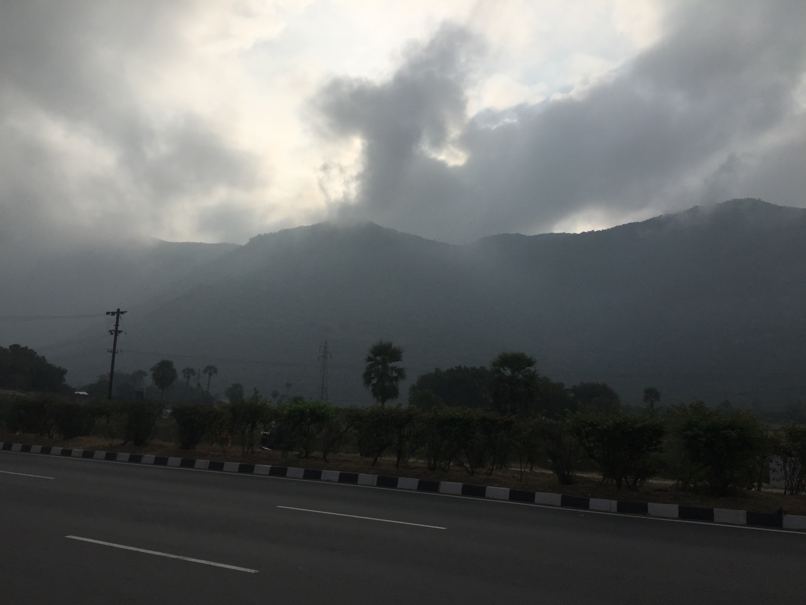
On the way
Topographic Map of Vellore, Tamil Nadu, India
Find elevation by address:

Places in Vellore, Tamil Nadu, India:
Yelagiri
Vellore
Ambur
Alangayam
Tirupattur
Jamunamarathur
Jolarpet
Bheemakulam
Arakkonam
Amburpettai
Peranampattu
Mahimandalam
Elayanellore
Merkathiyanur
Mangalam R.f.
Places near Vellore, Tamil Nadu, India:
Saduperi
Vellore
Kannamangalam
Mahimandalam
Elayanellore
Mahimandalam Fort
Arani
Chittoor
Chittoor
Kothakota
Thiruthani
Kanchipuram
Arakkonam
Konerikuppam
Samathuvapuram
Pileru
Nagapatla
Kalyani Dam
Kalyani Dam
Tirupati
Recent Searches:
- Elevation of Corso Fratelli Cairoli, 35, Macerata MC, Italy
- Elevation of Tallevast Rd, Sarasota, FL, USA
- Elevation of 4th St E, Sonoma, CA, USA
- Elevation of Black Hollow Rd, Pennsdale, PA, USA
- Elevation of Oakland Ave, Williamsport, PA, USA
- Elevation of Pedrógão Grande, Portugal
- Elevation of Klee Dr, Martinsburg, WV, USA
- Elevation of Via Roma, Pieranica CR, Italy
- Elevation of Tavkvetili Mountain, Georgia
- Elevation of Hartfords Bluff Cir, Mt Pleasant, SC, USA