Elevation of Kannamangalam, Tamil Nadu, India
Location: India > Tamil Nadu > Tiruvannamalai >
Longitude: 79.1477979
Latitude: 12.7522395
Elevation: 197m / 646feet
Barometric Pressure: 99KPa
Elevation Map:
Satellite Map:
Related Photos:

8463 - Shenbaga Thoppu Dam view

Know your state well. A view of the golden Sri lakshmi narayani temple vellore ,Tamilnadu , India. The view of the temple corridors in the shape of a star as seen via G- Maps.

Bud Head
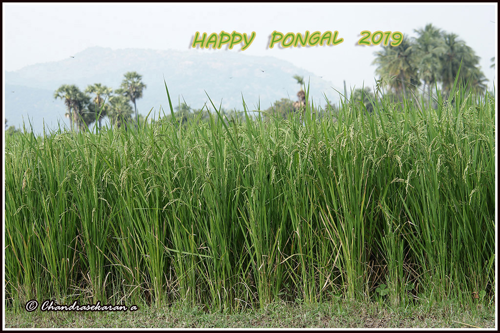
8465 - Happy Pongal Pongal greetings to all. இனிய பொங்கல் நல் வாழ்த்துகள் !

8462 - alone

8443 - sunset

8425 - fallen from grace - French Bungalow at Arani

8424 - paddy field with lion head shaped hill

Wild flowers
Topographic Map of Kannamangalam, Tamil Nadu, India
Find elevation by address:

Places near Kannamangalam, Tamil Nadu, India:
Saduperi
Arani
Vellore
Vellore
Elayanellore
Mahimandalam Fort
Mahimandalam
Chittoor
Chittoor
Kanchipuram
Konerikuppam
Samathuvapuram
Arakkonam
Thiruthani
Kothakota
Kanchipuram
Magneti Marelli Skh Exhaust Systems Pvt Ltd
Sriperumbudur
Poondi Lake
Chengalpattu
Recent Searches:
- Elevation of Corso Fratelli Cairoli, 35, Macerata MC, Italy
- Elevation of Tallevast Rd, Sarasota, FL, USA
- Elevation of 4th St E, Sonoma, CA, USA
- Elevation of Black Hollow Rd, Pennsdale, PA, USA
- Elevation of Oakland Ave, Williamsport, PA, USA
- Elevation of Pedrógão Grande, Portugal
- Elevation of Klee Dr, Martinsburg, WV, USA
- Elevation of Via Roma, Pieranica CR, Italy
- Elevation of Tavkvetili Mountain, Georgia
- Elevation of Hartfords Bluff Cir, Mt Pleasant, SC, USA