Elevation of Valmieras iela 16, Rencēni, Rencēnu pagasts, LV-, Latvia
Location: Latvia >
Longitude: 25.4295687
Latitude: 57.7308449
Elevation: 66m / 217feet
Barometric Pressure: 101KPa
Elevation Map:
Satellite Map:
Related Photos:
_MG_1727.jpg

_MG_1688.jpg
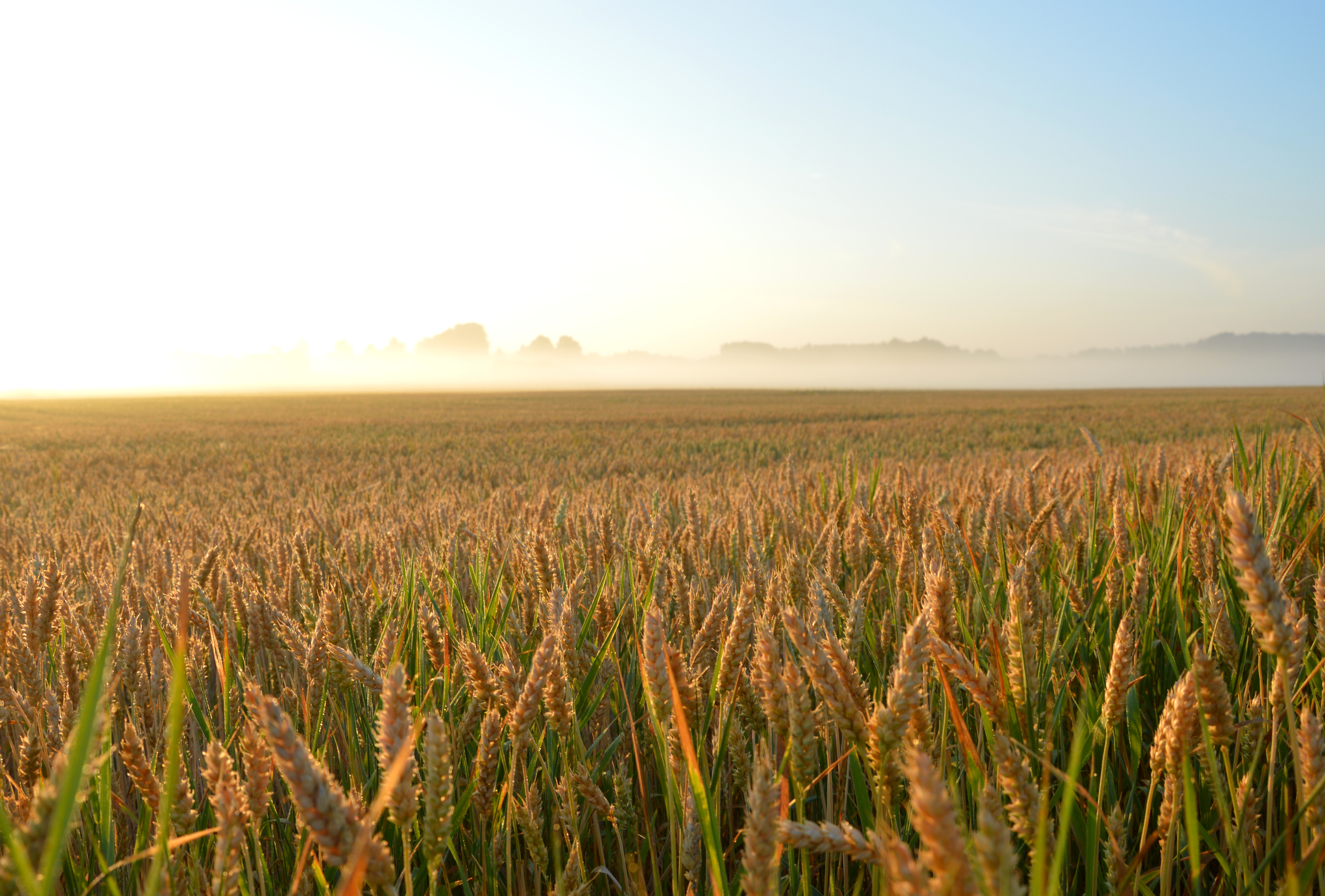
Wheat field
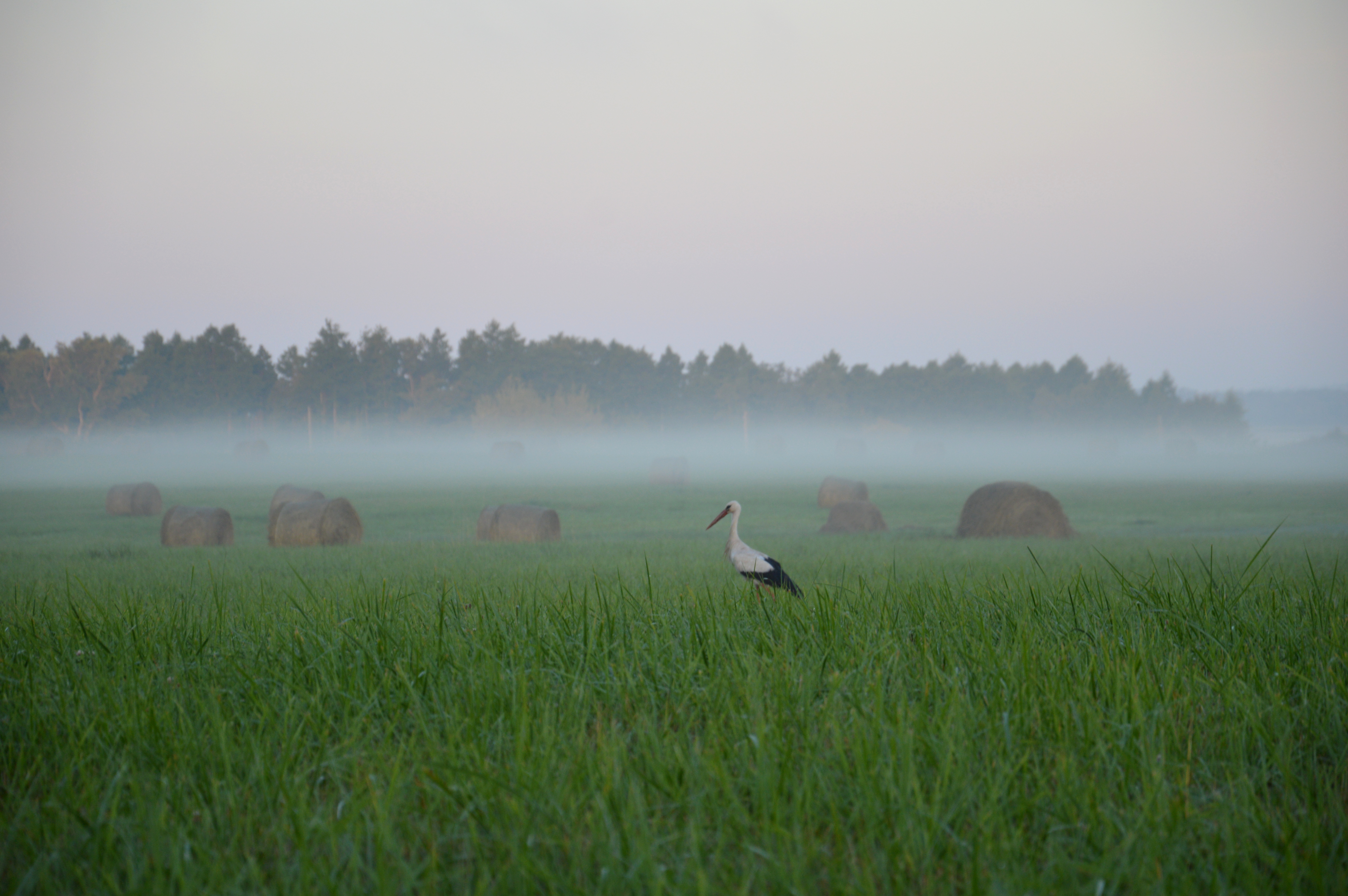
Stark in fog

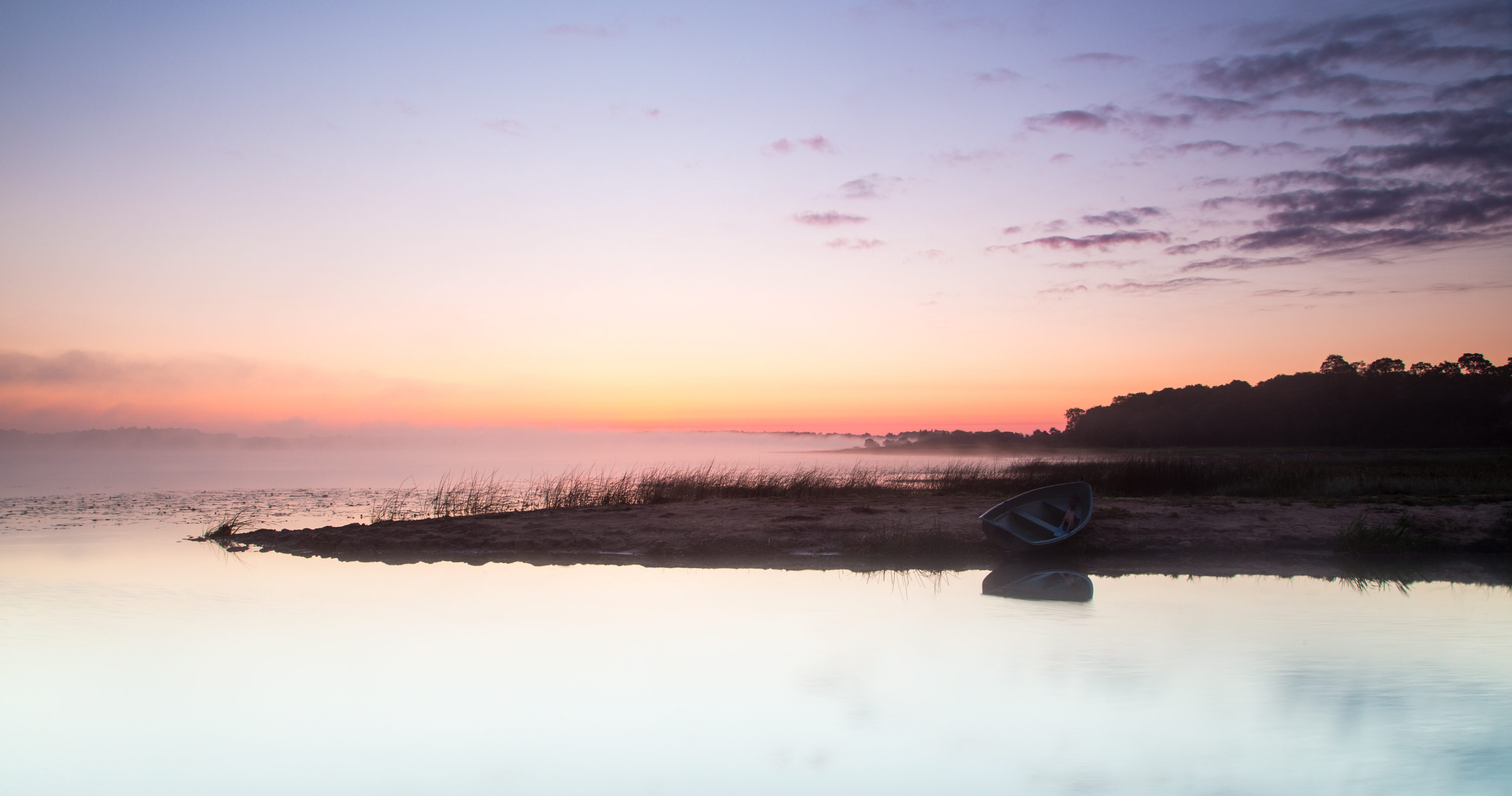
Lake Burtnieks

21.6.2015

21.6.2015

21.6.2015

20.6.2015

20.6.2015

20.6.2015

20.6.2015

20.6.2015
Topographic Map of Valmieras iela 16, Rencēni, Rencēnu pagasts, LV-, Latvia
Find elevation by address:

Places near Valmieras iela 16, Rencēni, Rencēnu pagasts, LV-, Latvia:
Karksi-nuia
Aitsra
Valka
Viljandi
Valga County
Laatre
Metsa põik 1, Puka, Valga maakond, Estonia
Keskuse 1, Lapetukme, Tartu maakond, Estonia
Kesk 9, Kobela, Võru maakond, Estonia
Kobela
Türi
Elva
Antsla
Otepää
Antsla Parish
Paide
Valga maantee 8, Nõo, Tartu maakond, Estonia
Nõo Kirik
Nõo
Nõo Parish
Recent Searches:
- Elevation of Corso Fratelli Cairoli, 35, Macerata MC, Italy
- Elevation of Tallevast Rd, Sarasota, FL, USA
- Elevation of 4th St E, Sonoma, CA, USA
- Elevation of Black Hollow Rd, Pennsdale, PA, USA
- Elevation of Oakland Ave, Williamsport, PA, USA
- Elevation of Pedrógão Grande, Portugal
- Elevation of Klee Dr, Martinsburg, WV, USA
- Elevation of Via Roma, Pieranica CR, Italy
- Elevation of Tavkvetili Mountain, Georgia
- Elevation of Hartfords Bluff Cir, Mt Pleasant, SC, USA