Elevation of Türi, Järva County, Estonia
Location: Estonia >
Longitude: 25.4288003
Latitude: 58.8079507
Elevation: 64m / 210feet
Barometric Pressure: 101KPa
Elevation Map:
Satellite Map:
Related Photos:
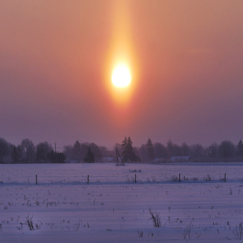
Country Morning
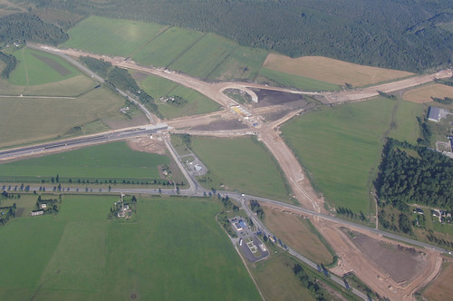
Construction of Mäo Junction

The Look

Colors of the sky
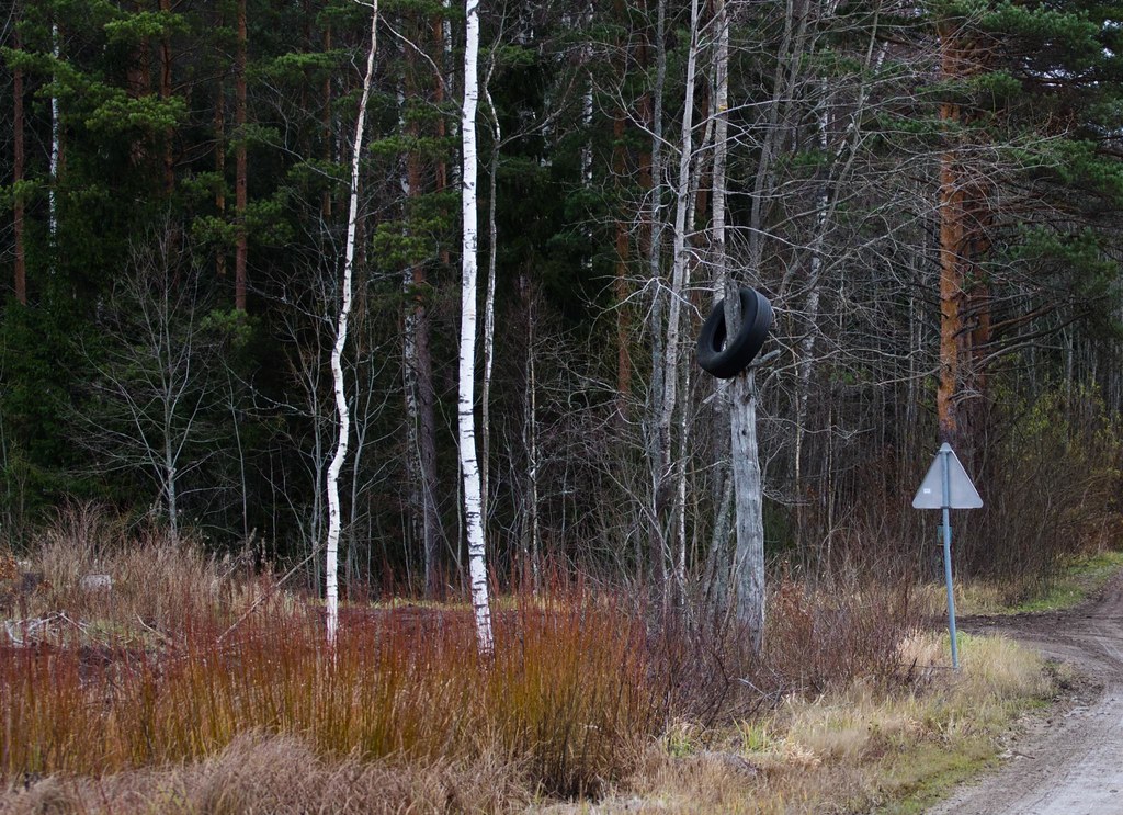
Viljunud kummipuu
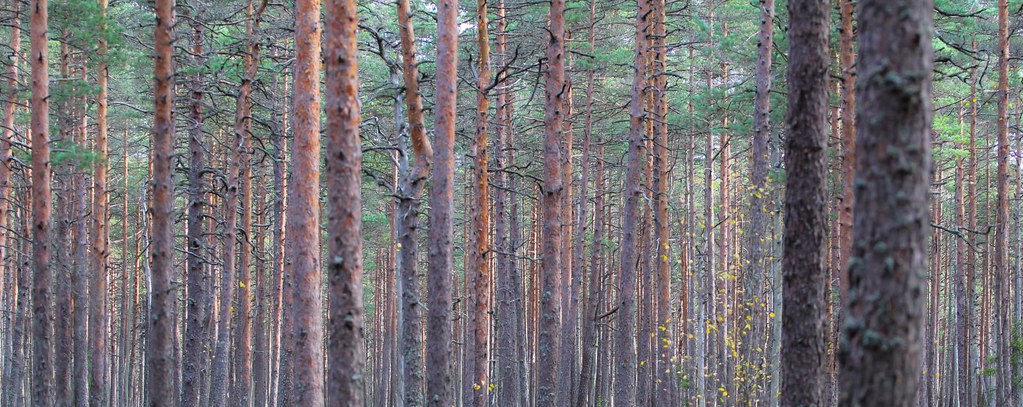
Männik
20110703_bessa4.jpg
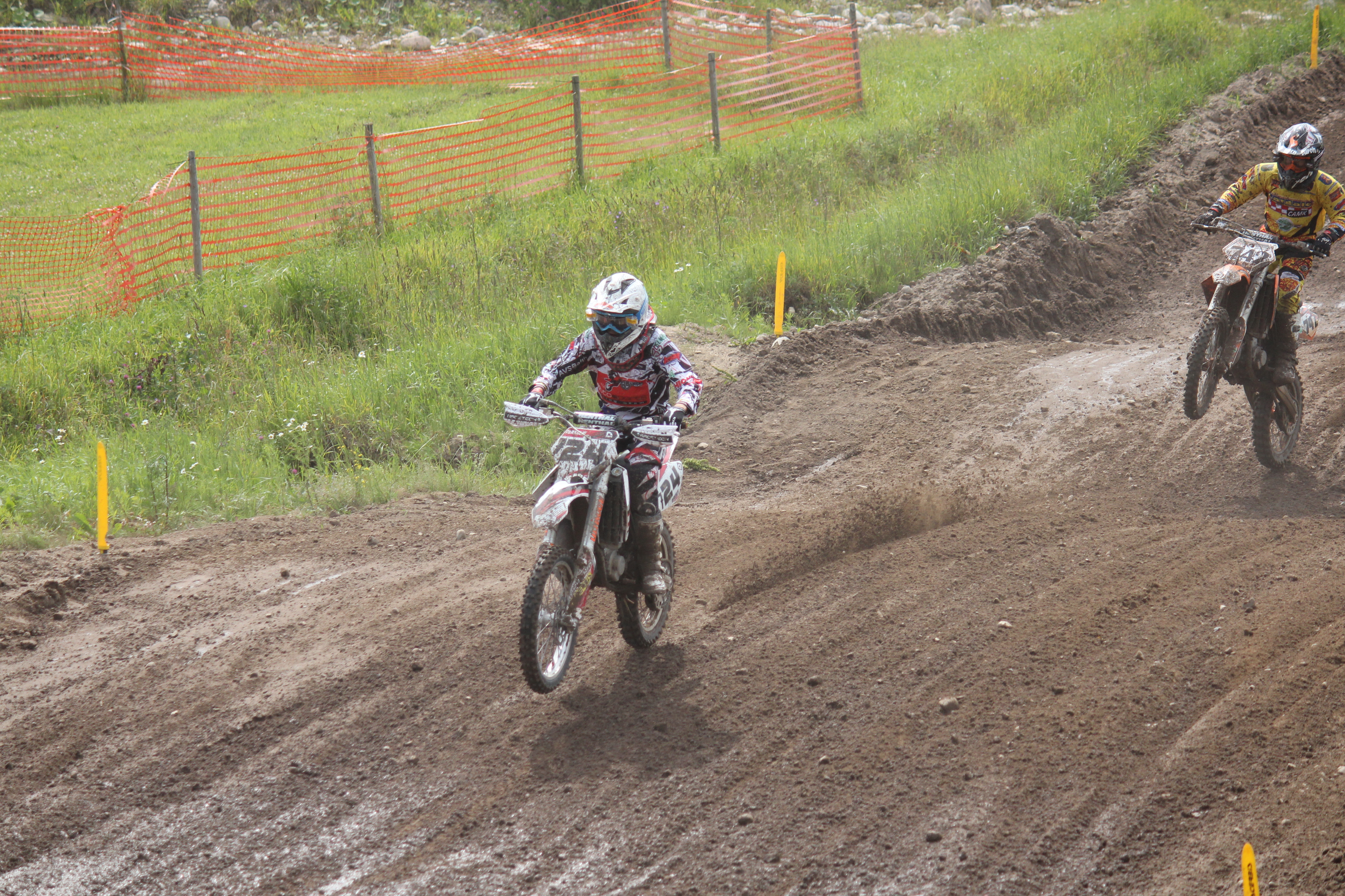
775; 724 & 630
740 & 767

991 Swap 226 EE aprillinali
20141118-_MG_0228

20141118-_MG_0229
724 & 742
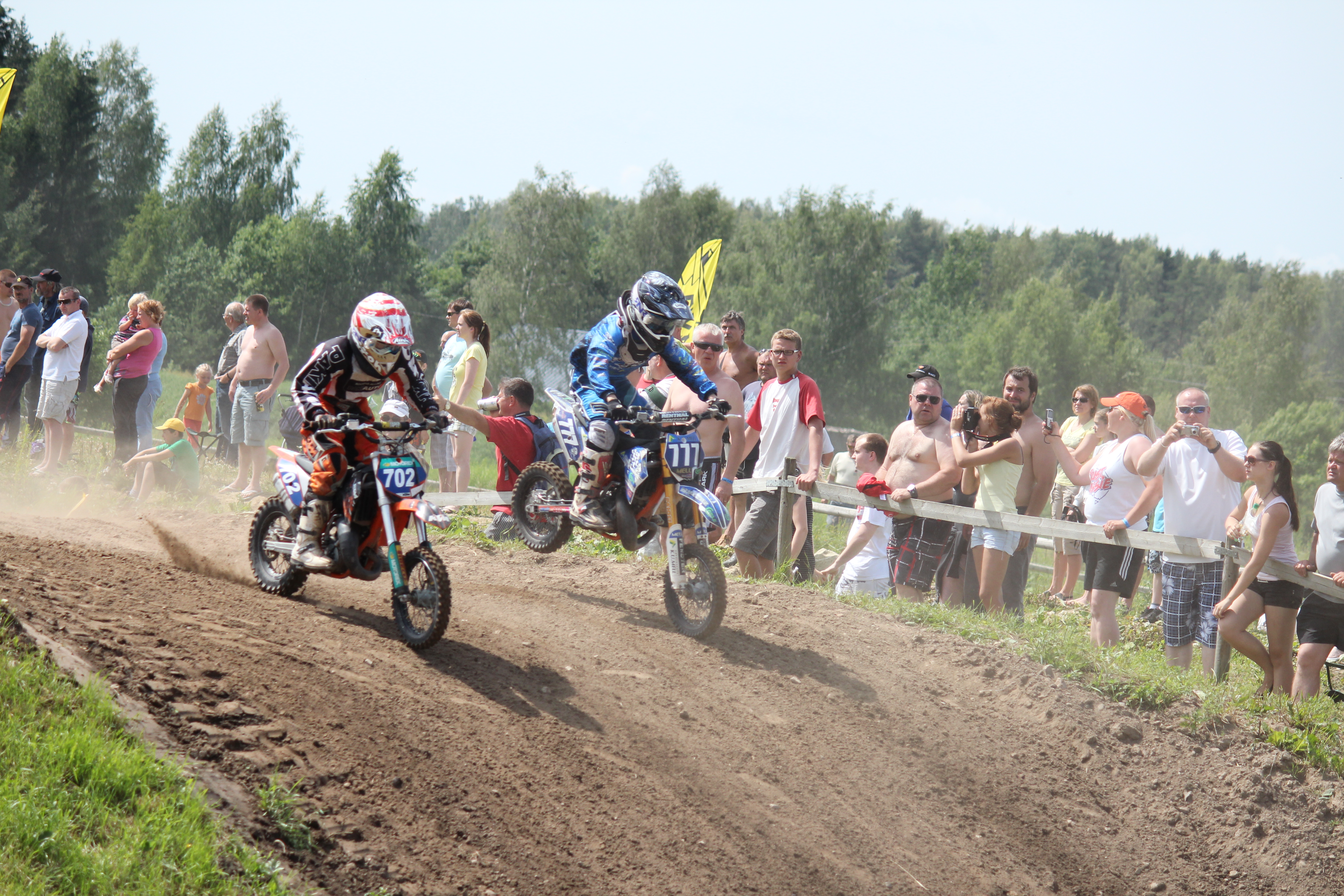
702 & 777
Topographic Map of Türi, Järva County, Estonia
Find elevation by address:

Places near Türi, Järva County, Estonia:
Paide
Viljandi
Karksi-nuia
Jõgeva County
Keskuse 1, Lapetukme, Tartu maakond, Estonia
Aitsra
Valmieras iela 16, Rencēni, Rencēnu pagasts, LV-, Latvia
Kärevere
Metsa põik 1, Puka, Valga maakond, Estonia
Elva
Valga County
Valka
Valga maantee 8, Nõo, Tartu maakond, Estonia
Nõo Parish
Nõo Kirik
Nõo
Laatre
Otepää
Laulupeo Puiestee
Tiigi 61b
Recent Searches:
- Elevation of Corso Fratelli Cairoli, 35, Macerata MC, Italy
- Elevation of Tallevast Rd, Sarasota, FL, USA
- Elevation of 4th St E, Sonoma, CA, USA
- Elevation of Black Hollow Rd, Pennsdale, PA, USA
- Elevation of Oakland Ave, Williamsport, PA, USA
- Elevation of Pedrógão Grande, Portugal
- Elevation of Klee Dr, Martinsburg, WV, USA
- Elevation of Via Roma, Pieranica CR, Italy
- Elevation of Tavkvetili Mountain, Georgia
- Elevation of Hartfords Bluff Cir, Mt Pleasant, SC, USA