Elevation of Vallecitos, NM, USA
Location: United States > New Mexico > Rio Arriba County >
Longitude: -106.11668
Latitude: 36.4950177
Elevation: 2261m / 7418feet
Barometric Pressure: 77KPa
Elevation Map:
Satellite Map:
Related Photos:

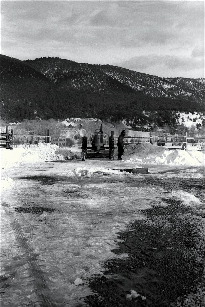
Lookout view
Vallecitos Retreat
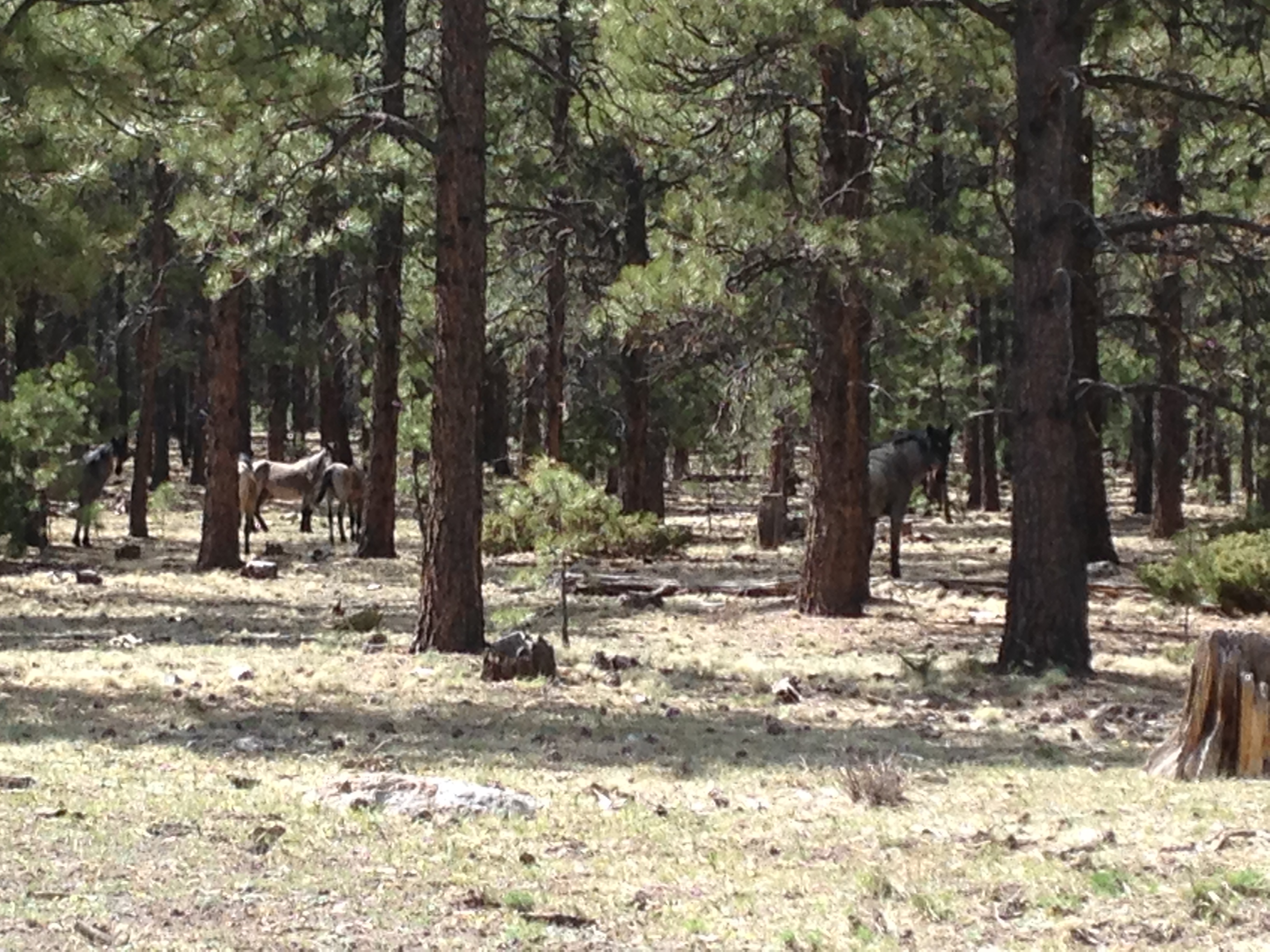
Wild Horses

Petaca, New Mexico
NF-106, Carson National Forest, NM
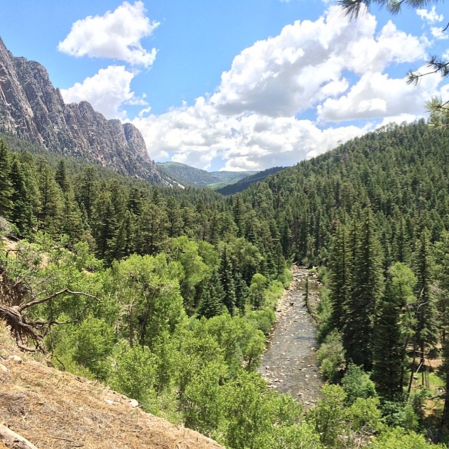
Brazos Cliffs and Valley, New Mexico

Climb-316
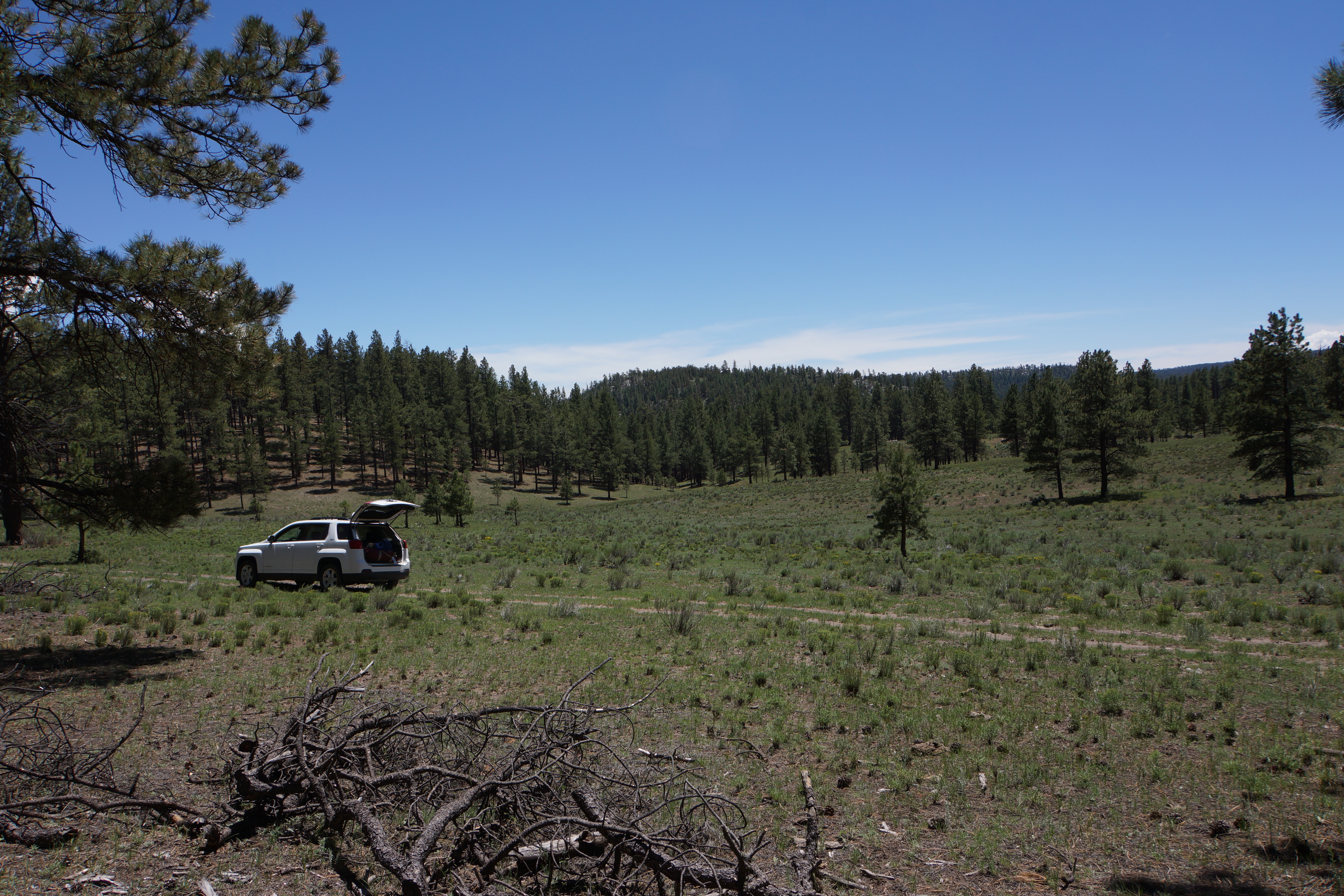
Spur off NF-106 off NF-106A in Carson National Forest, 8240'
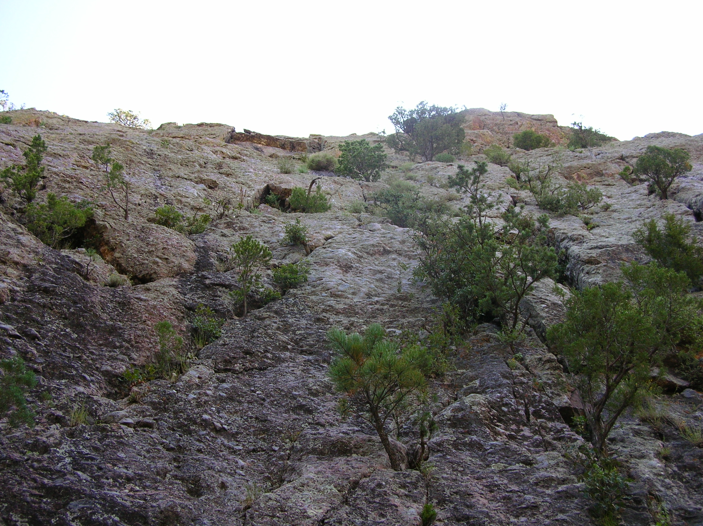
Trad Wall from the base
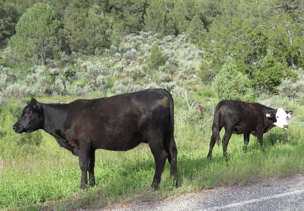
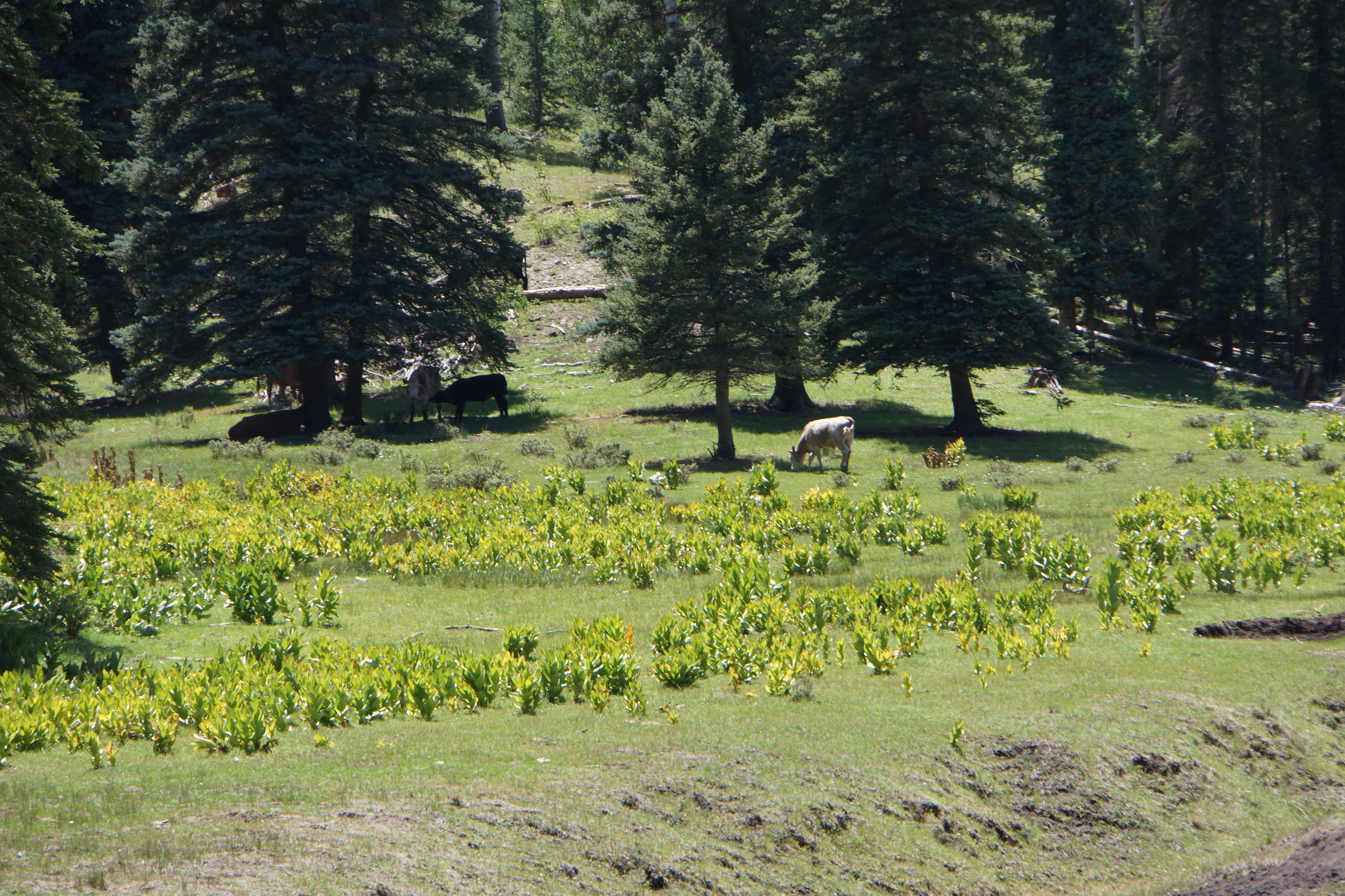
Carson National Forest Cattle (Rio Arriba County, New Mexico)
Topographic Map of Vallecitos, NM, USA
Find elevation by address:

Places in Vallecitos, NM, USA:
Places near Vallecitos, NM, USA:
Salt Lick Spring
El Rito
1115 Sr 554
Ojo Caliente Mineral Springs Resort & Spa
Ojo Caliente
Two Hawks Trail
New Mexico 554
Tres Orejas
Turkey Springs Archaeological Site
Medanales
Embudo
Abiquiu
Velarde
23833 Us-64
Earthship Biotecture
14 Earthship Way
8 Happy Trail Way
Co Rd 41, Velarde, NM, USA
State Hwy, Velarde, NM, USA
1195 Co Rd 41
Recent Searches:
- Elevation of Corso Fratelli Cairoli, 35, Macerata MC, Italy
- Elevation of Tallevast Rd, Sarasota, FL, USA
- Elevation of 4th St E, Sonoma, CA, USA
- Elevation of Black Hollow Rd, Pennsdale, PA, USA
- Elevation of Oakland Ave, Williamsport, PA, USA
- Elevation of Pedrógão Grande, Portugal
- Elevation of Klee Dr, Martinsburg, WV, USA
- Elevation of Via Roma, Pieranica CR, Italy
- Elevation of Tavkvetili Mountain, Georgia
- Elevation of Hartfords Bluff Cir, Mt Pleasant, SC, USA