Elevation map of Rio Arriba County, NM, USA
Location: United States > New Mexico >
Longitude: -106.72346
Latitude: 36.6162892
Elevation: 2183m / 7162feet
Barometric Pressure: 78KPa
Elevation Map:
Satellite Map:
Related Photos:
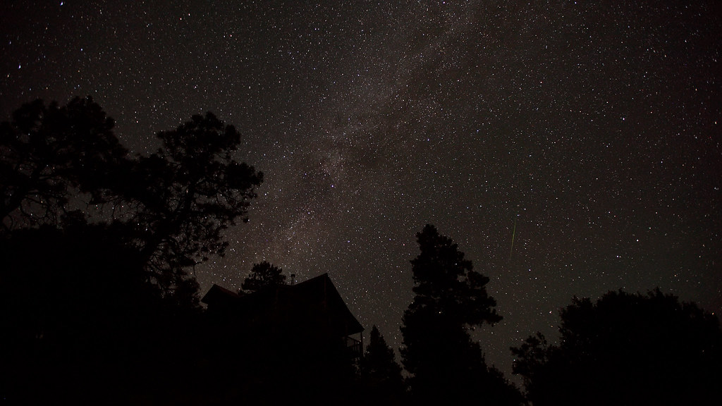
My first astro-time-lapse...
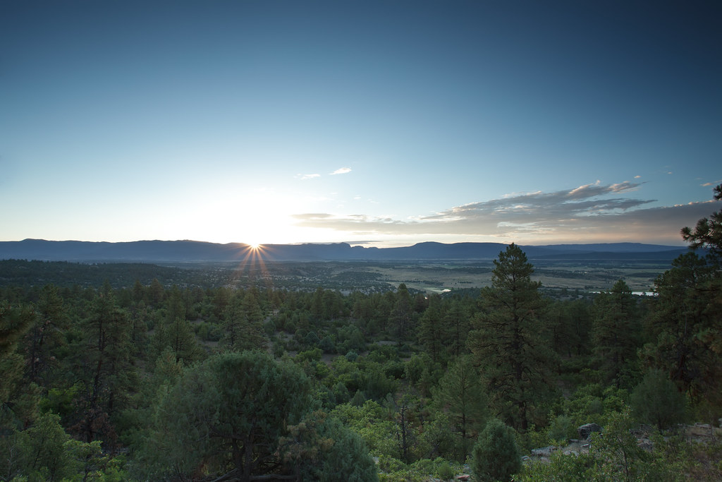
Sunrise view from the Rutheron, NM Cabin
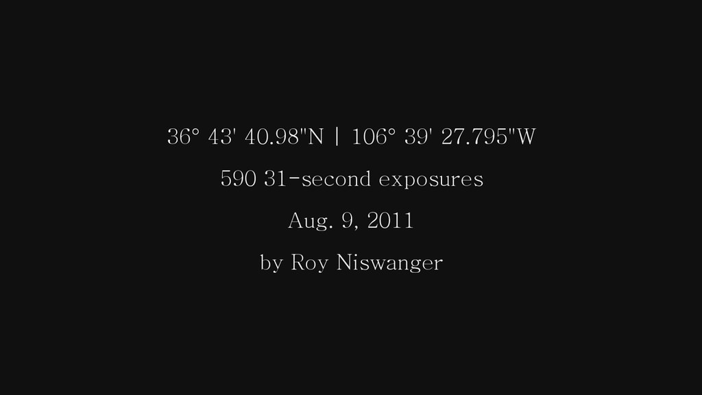
My first astro-time-lapse...
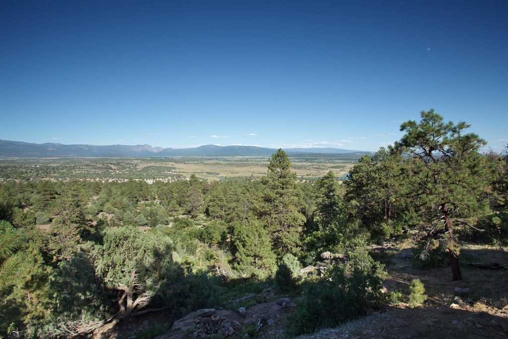
Vista de Brazos from the Rutheron, NM Cabin
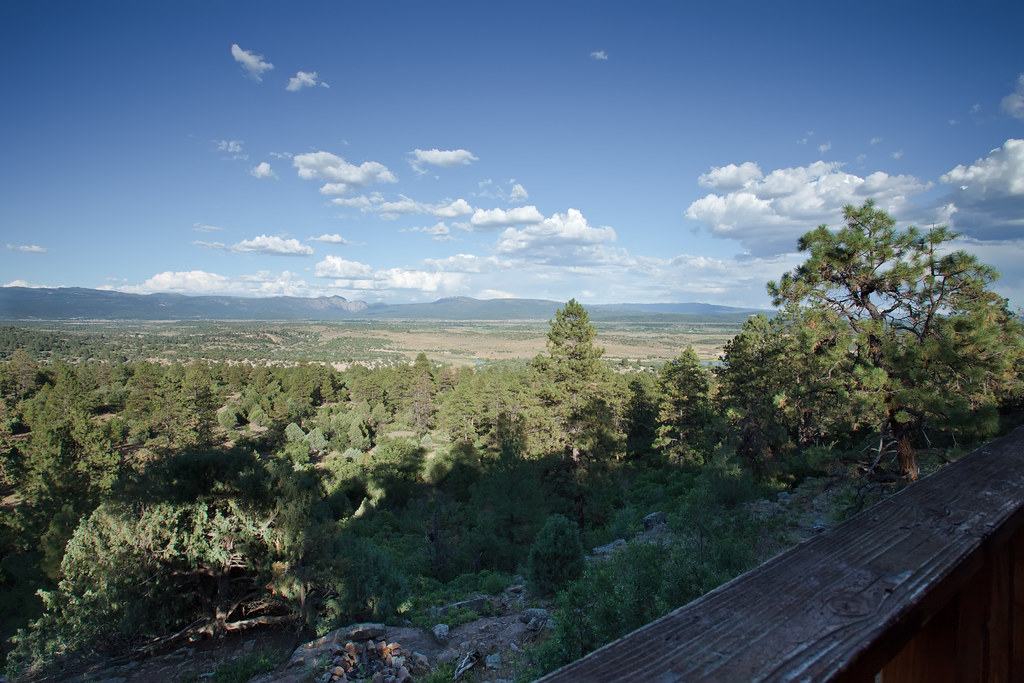
Vista de Brazos from the Rutheron, NM Cabin

El Vado View
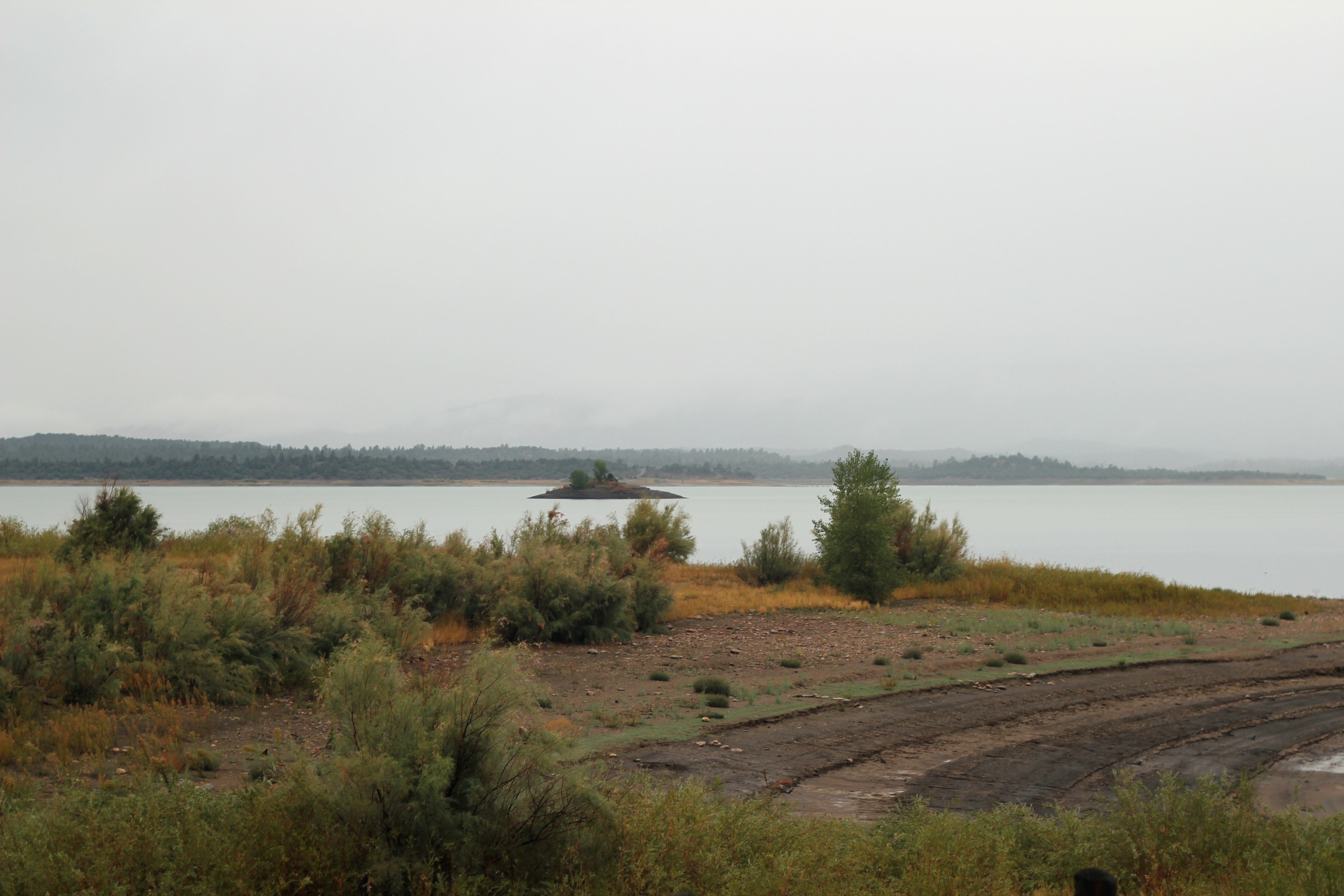
View from Island View Campground

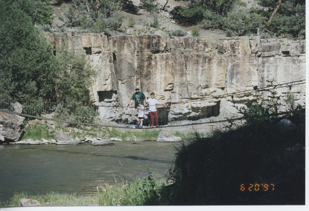
Bridge 952-02

New Mexico, Land of Enchantment

Chama River Float-9
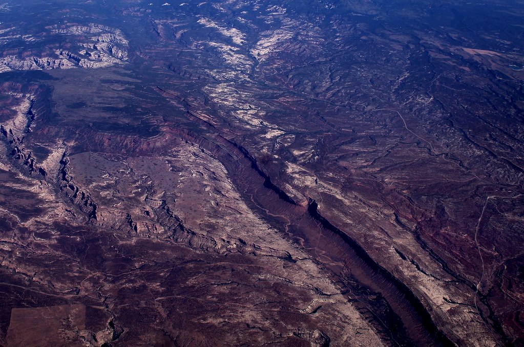
Somewhere Over the US
The start of a rainy night

Sagebrush and Ruins of old ranch; W of Road 112, S of El Vado Reservoir, NM
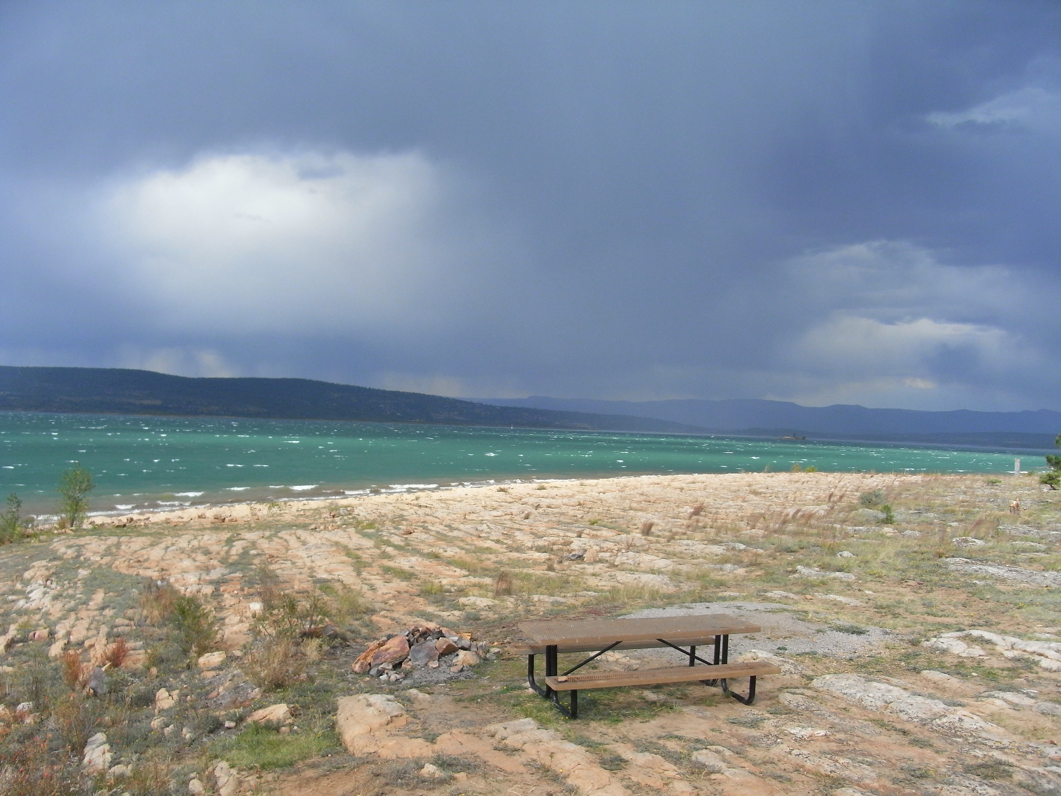
Storm, Lake, Rocks
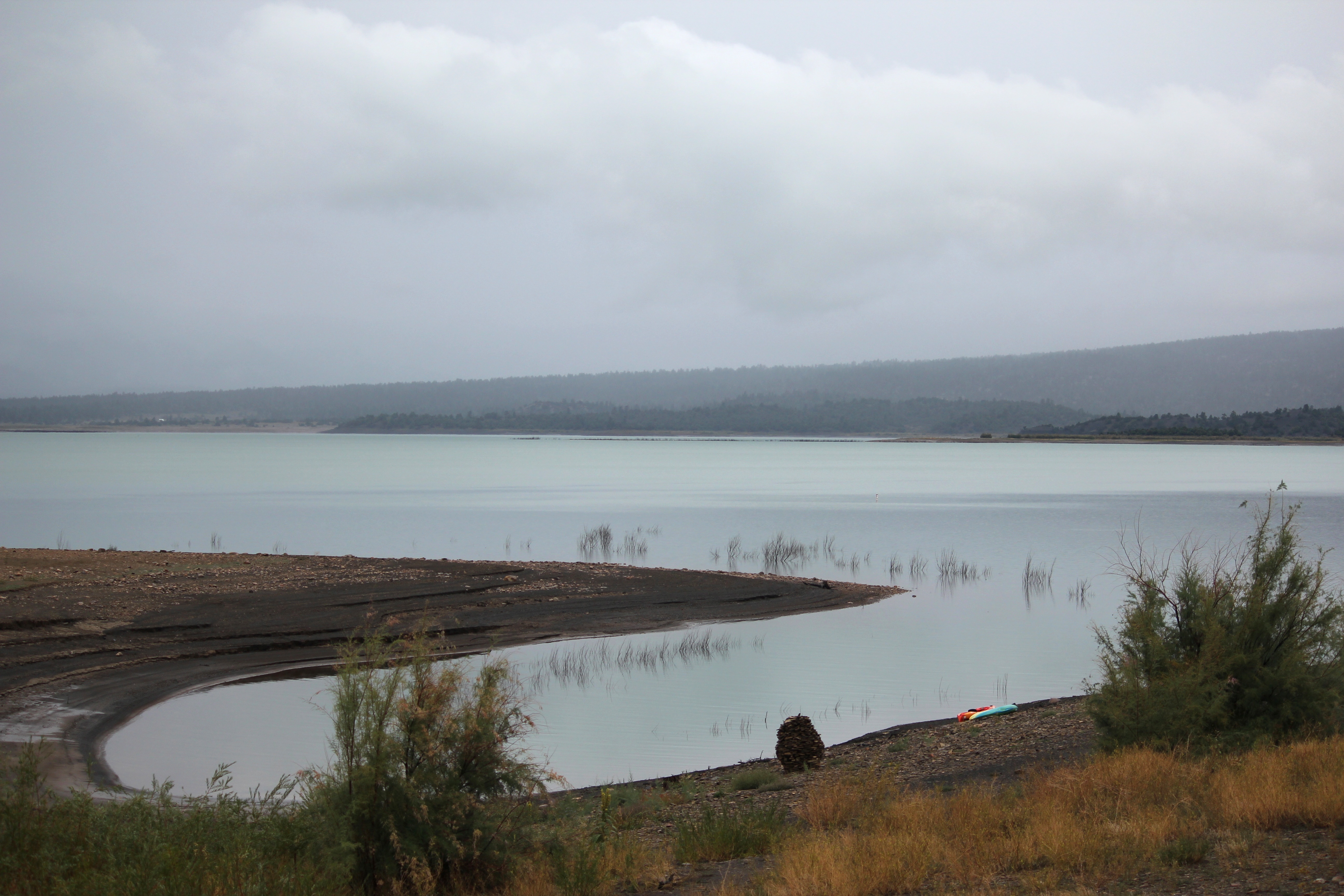
El Vado

Heron Spillway

El Vado
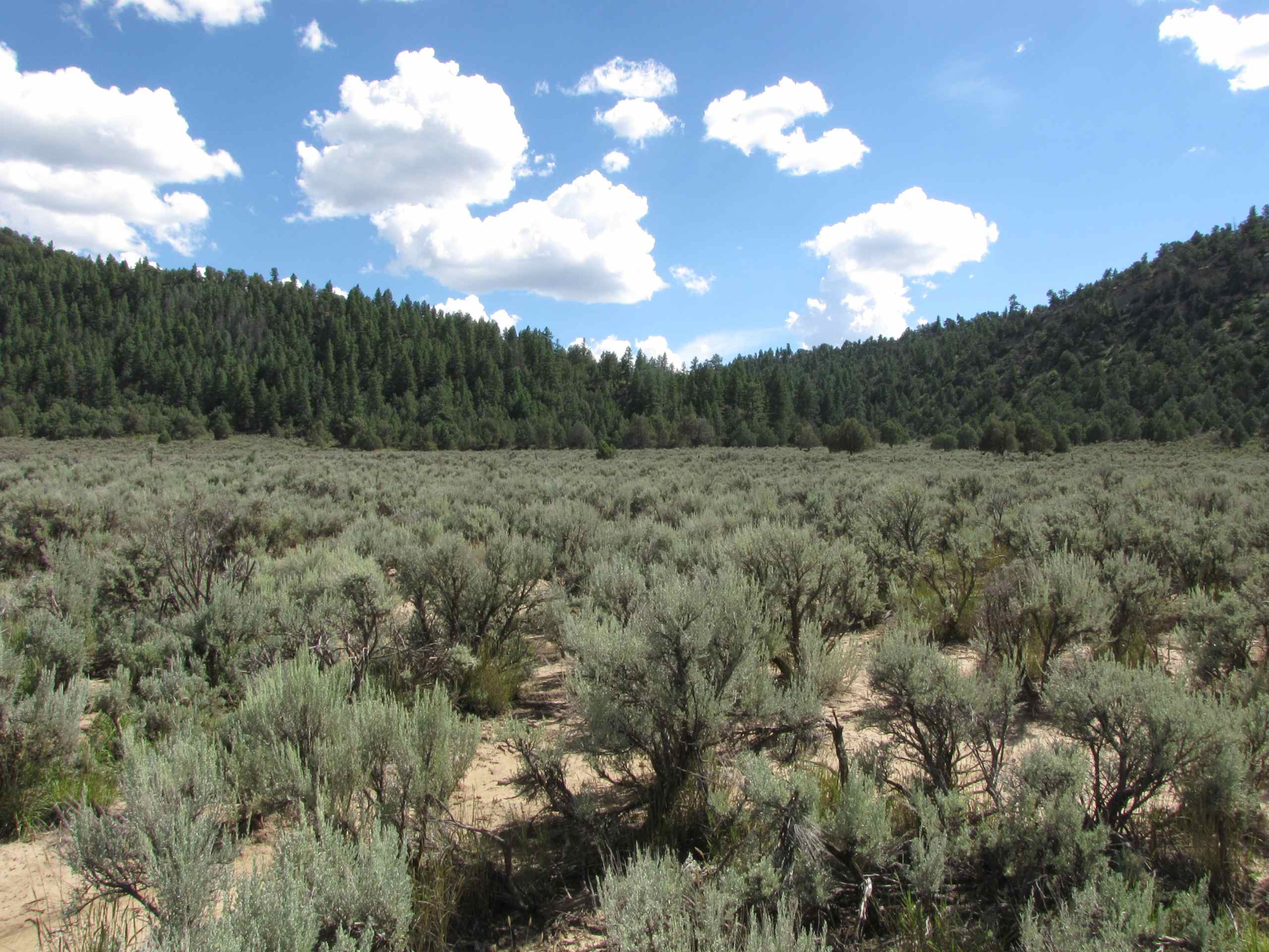
Sagebrush; S of El Vado Reservoir, NM
Topographic Map of Rio Arriba County, NM, USA
Find elevation by address:

Places in Rio Arriba County, NM, USA:
Española
Chama
Vallecitos
Velarde
Abiquiu
Gallina
Cañones
Los Ojos
Dixon
Youngsville
Hernandez
6 Basket Ln, Dulce, NM, USA
13 Co Rd, Ohkay Owingeh, NM, USA
Turkey Springs Archaeological Site
NM-74, Ohkay Owingeh, NM, USA
1115 Sr 554
State Hwy, Ohkay Owingeh, NM, USA
29 Co Rd 58, Ohkay Owingeh, NM, USA
Dulce
Navajo City
Truchas
Cordova
Rutheron
Medanales
El Rito
La Villita
Ohkay Owingeh
La Puente
Embudo
Places near Rio Arriba County, NM, USA:
Espanola
El Vado
490 Nm-95
Los Ojos, NM, USA
La Puente
Rutheron
91 Main St, Los Ojos, NM, USA
Los Ojos
Tierra Amarilla
88 Deer Trail
10 Deer Trail
County Road 341
Deer Trail
2631 Us-84
1754a Drive
Overlook Circle
Chama
3rd Street
158 4th St
16 Pinon Dr
Recent Searches:
- Elevation of Corso Fratelli Cairoli, 35, Macerata MC, Italy
- Elevation of Tallevast Rd, Sarasota, FL, USA
- Elevation of 4th St E, Sonoma, CA, USA
- Elevation of Black Hollow Rd, Pennsdale, PA, USA
- Elevation of Oakland Ave, Williamsport, PA, USA
- Elevation of Pedrógão Grande, Portugal
- Elevation of Klee Dr, Martinsburg, WV, USA
- Elevation of Via Roma, Pieranica CR, Italy
- Elevation of Tavkvetili Mountain, Georgia
- Elevation of Hartfords Bluff Cir, Mt Pleasant, SC, USA