Elevation of Val-Paradis, QC J0Y, Canada
Location: Canada > Québec > Nord-du-québec > Baie-james >
Longitude: -79.290096
Latitude: 49.153991
Elevation: 293m / 961feet
Barometric Pressure: 98KPa
Elevation Map:
Satellite Map:
Related Photos:

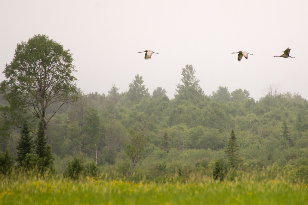
Grue du Canada
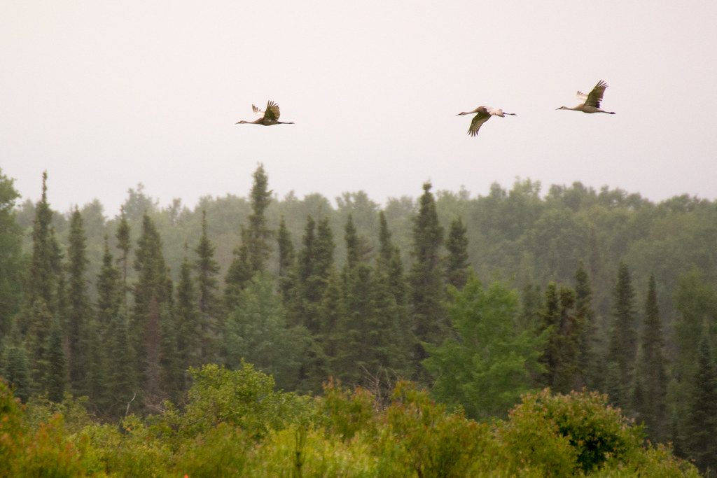
Grue du Canada
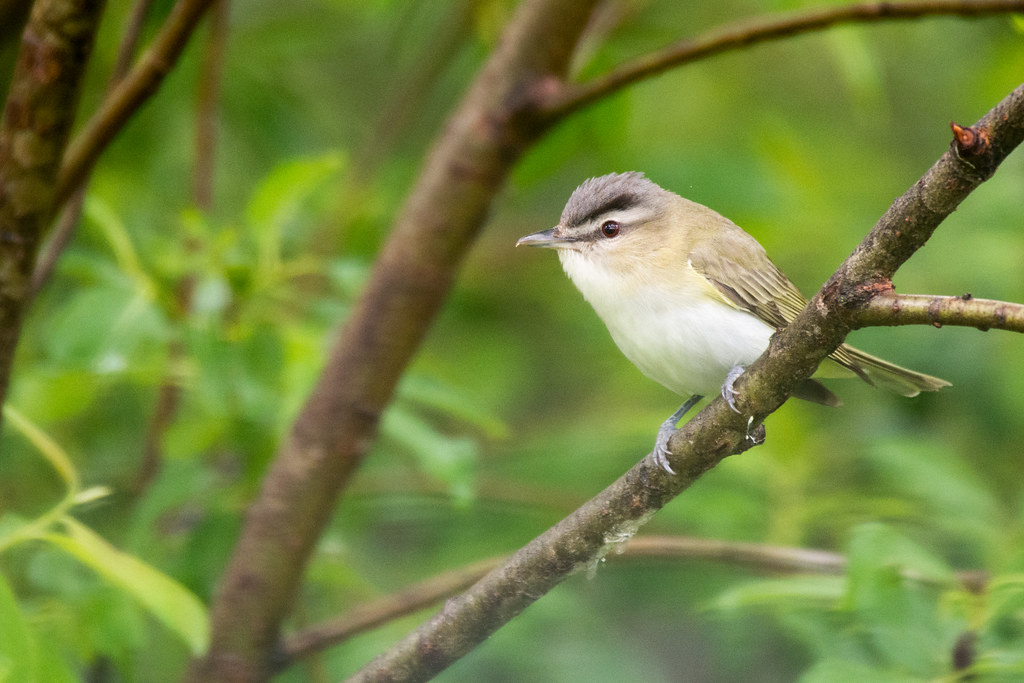
Viréo aux yeux rouges
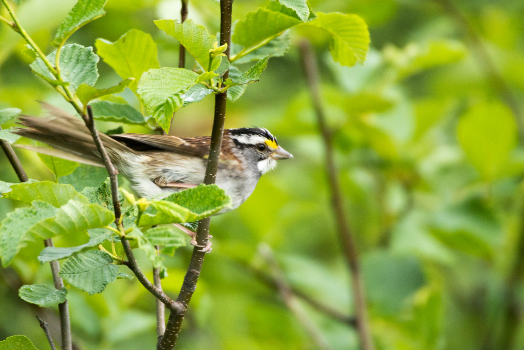
Bruant à gorge blanche
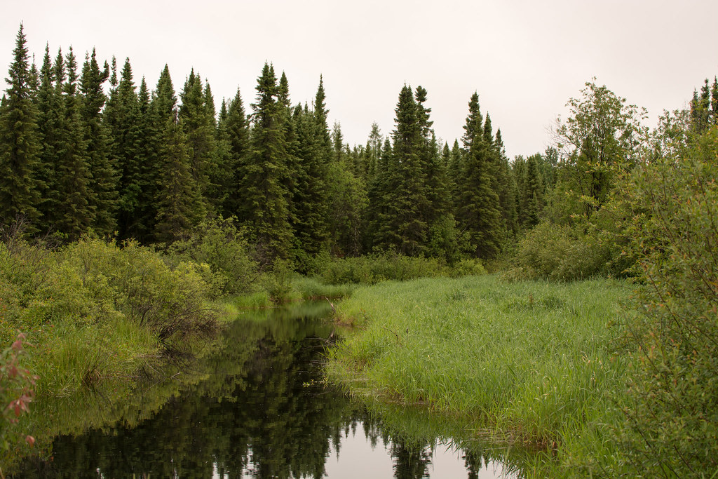
Forêt, Rivière
Grue du Canada

K& S
Topographic Map of Val-Paradis, QC J0Y, Canada
Find elevation by address:

Places near Val-Paradis, QC J0Y, Canada:
La Sarre
22 Avenue Trudel
Clerval
Clerval
Abitibi-ouest Regional County Municipality
Chemin De La Plage-delisle
Chemin du Bois-Joli, Authier, QC J0Z 1C0, Canada
Duparquet
Chemin Massicotte, Duparquet, QC J0Z 1W0, Canada
Rang du Parc, Rouyn-Noranda, QC J0Z, Canada
Lake Abitibi
205 Avenue De L'Église
330 Rue Perreault E
Rouyn-noranda
451 Montée Du Sourire
P0k 1x0
Rouyn-noranda
Larder Lake
Chemin des Rang Cinq et Six E, Rouyn-Noranda, QC J0Z 1K0, Canada
Chemin des Rang un et Deux E, Rouyn-Noranda, QC J9Y 0G3, Canada
Recent Searches:
- Elevation of Corso Fratelli Cairoli, 35, Macerata MC, Italy
- Elevation of Tallevast Rd, Sarasota, FL, USA
- Elevation of 4th St E, Sonoma, CA, USA
- Elevation of Black Hollow Rd, Pennsdale, PA, USA
- Elevation of Oakland Ave, Williamsport, PA, USA
- Elevation of Pedrógão Grande, Portugal
- Elevation of Klee Dr, Martinsburg, WV, USA
- Elevation of Via Roma, Pieranica CR, Italy
- Elevation of Tavkvetili Mountain, Georgia
- Elevation of Hartfords Bluff Cir, Mt Pleasant, SC, USA