Elevation of Chemin des Rang un et Deux E, Rouyn-Noranda, QC J9Y 0G3, Canada
Location: Canada > Québec > Rouyn-noranda > Rouyn-noranda >
Longitude: -78.941134
Latitude: 48.0106487
Elevation: 295m / 968feet
Barometric Pressure: 98KPa
Elevation Map:
Satellite Map:
Related Photos:
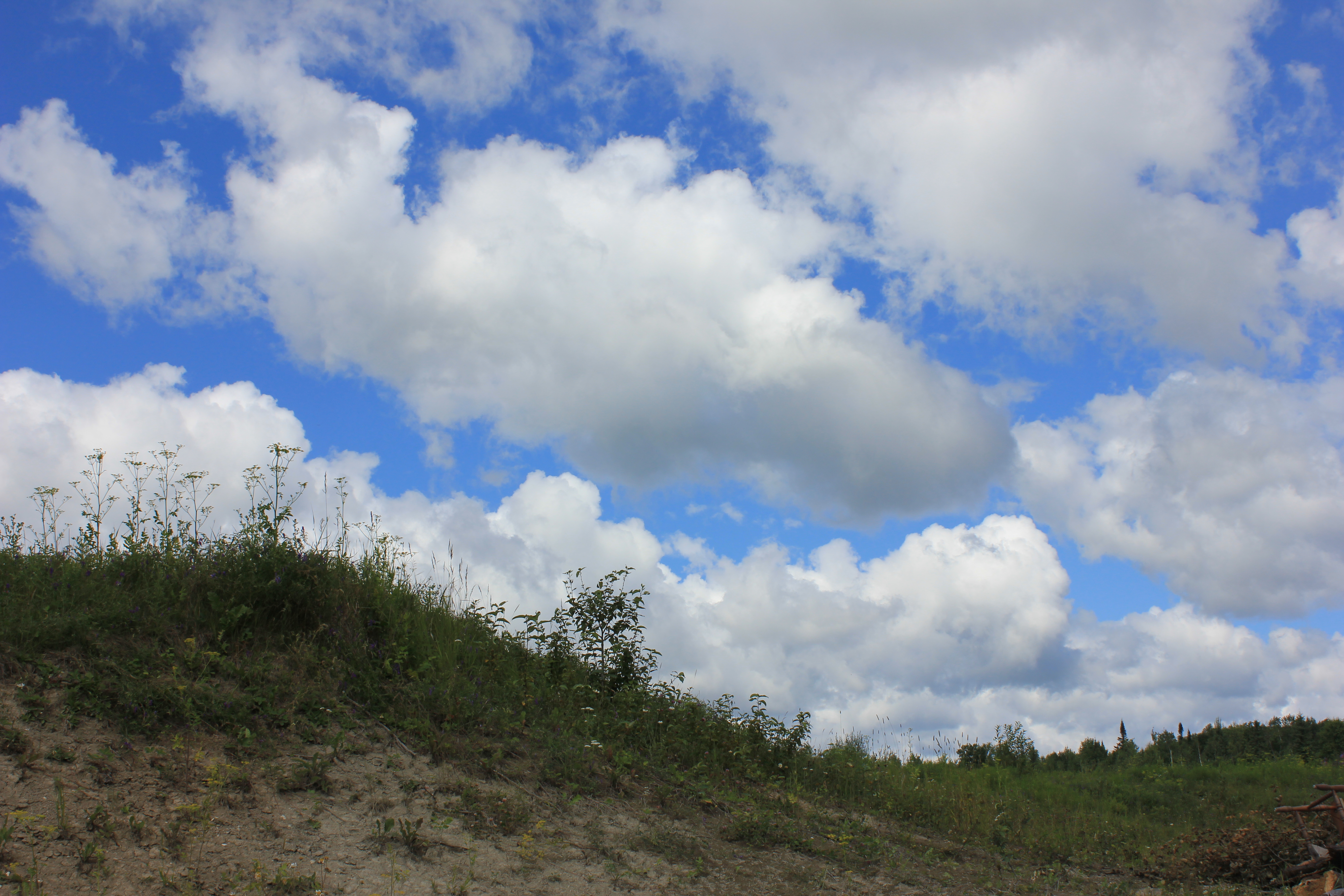
Abitibi's sky
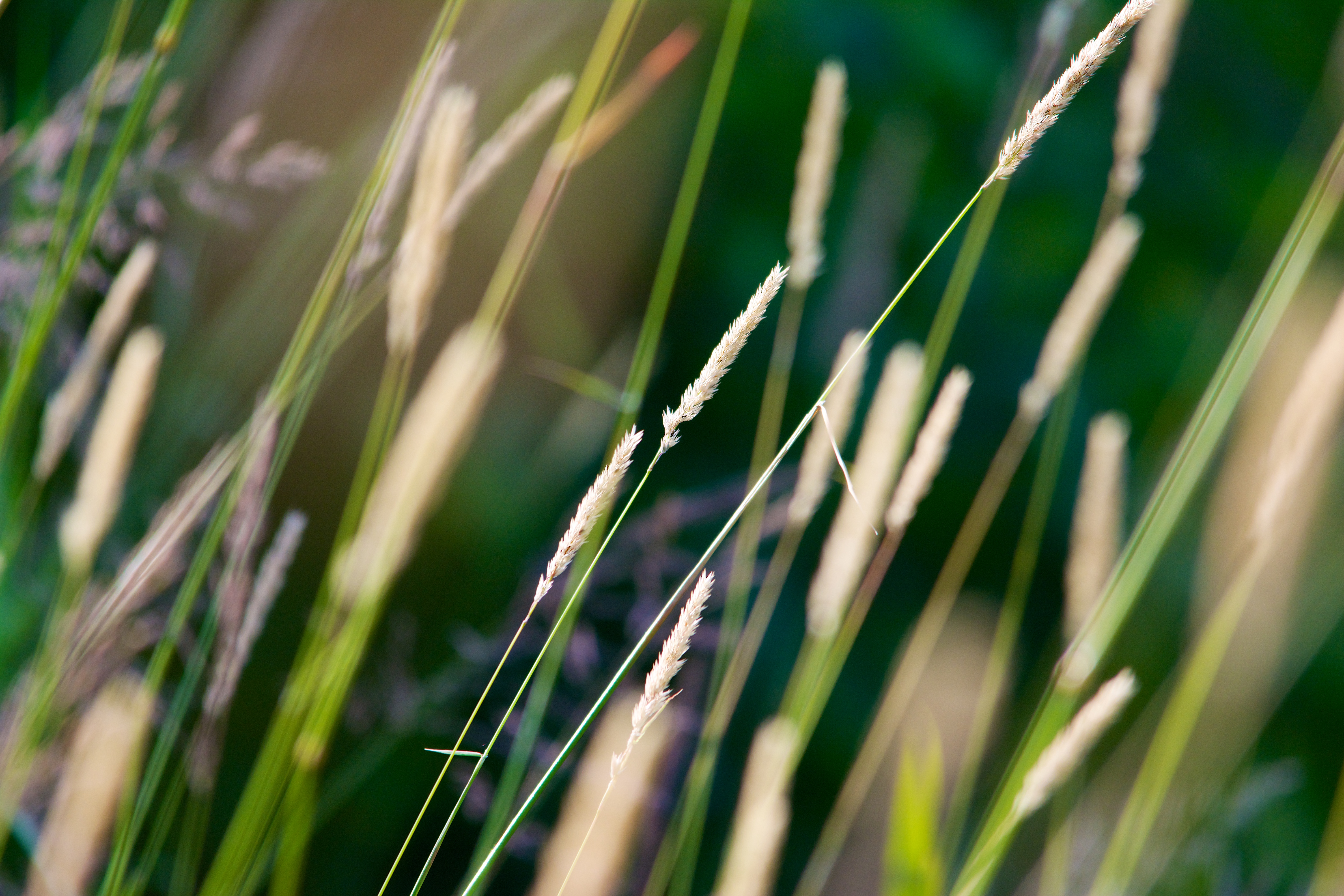
Thru the field
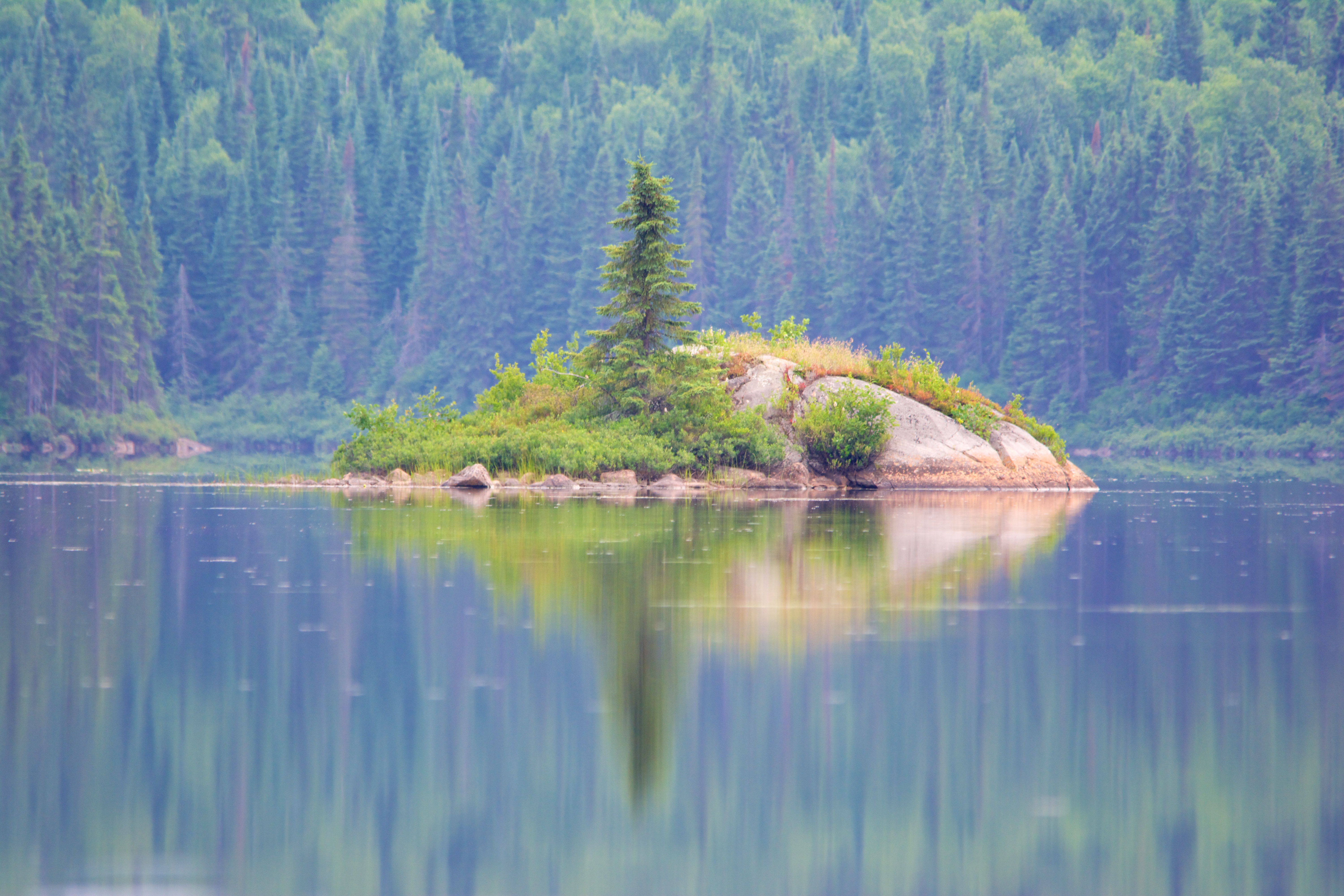
Lonely tree
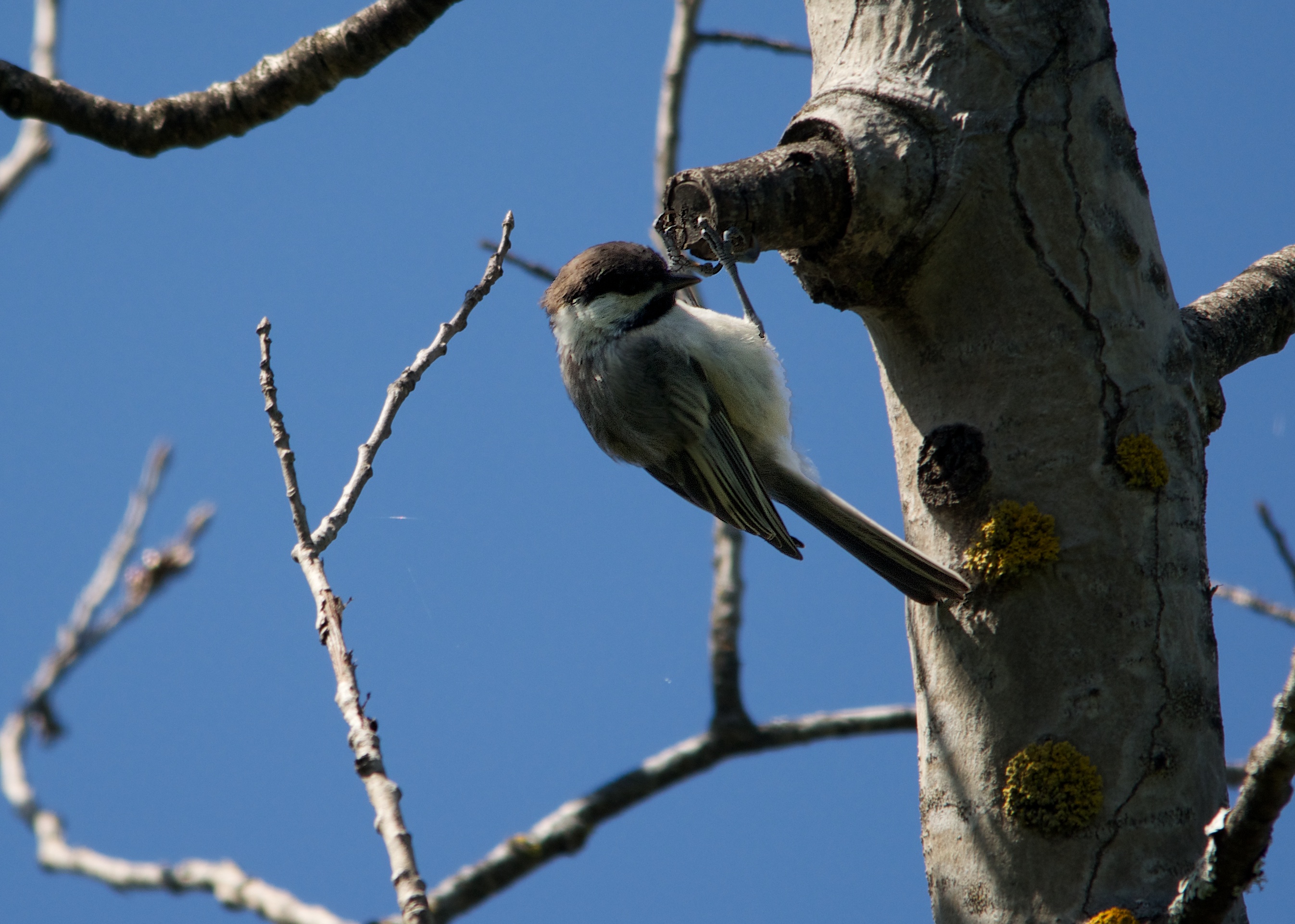
Chickadee Cliffhanger
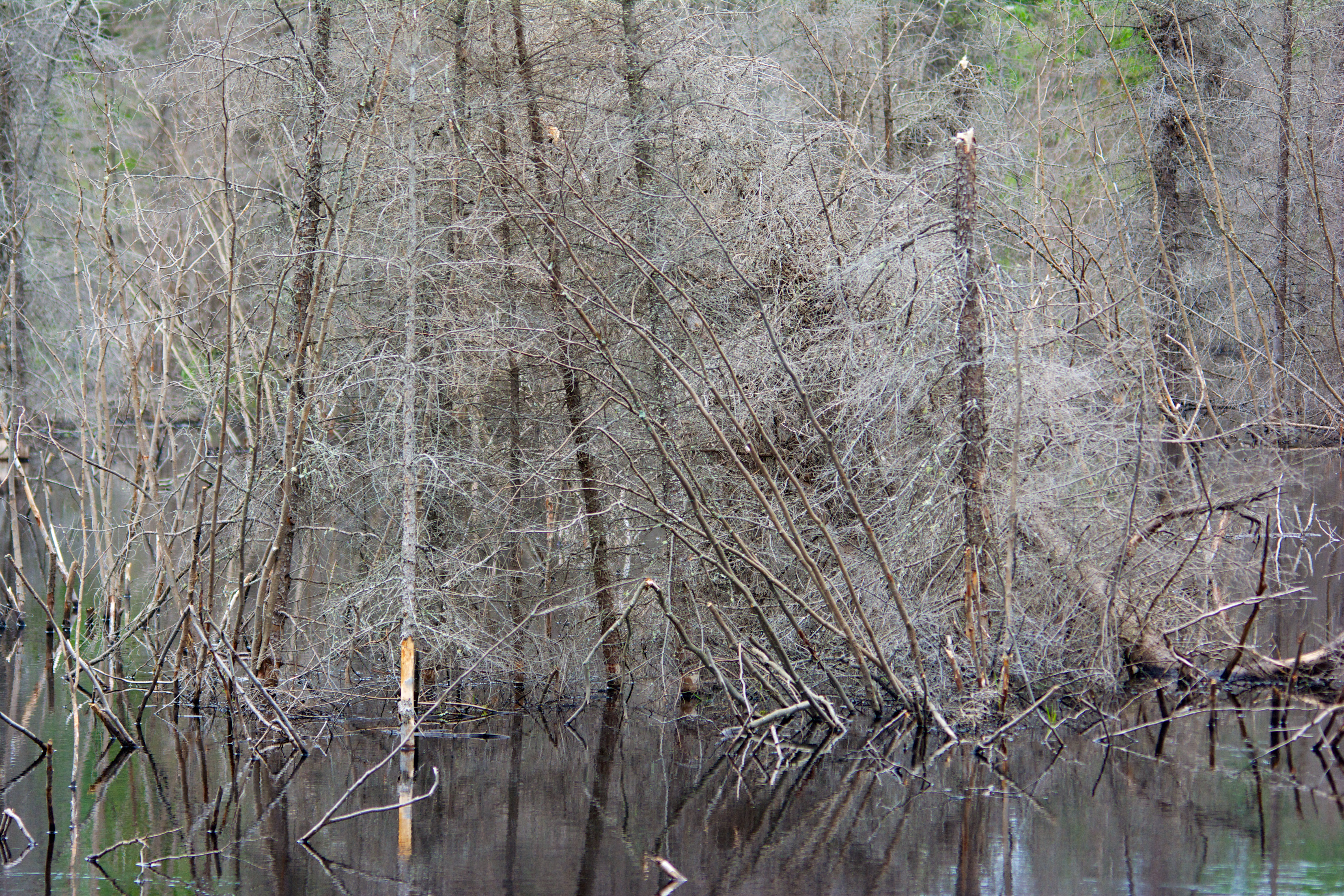
Beaver marsh
Topographic Map of Chemin des Rang un et Deux E, Rouyn-Noranda, QC J9Y 0G3, Canada
Find elevation by address:

Places near Chemin des Rang un et Deux E, Rouyn-Noranda, QC J9Y 0G3, Canada:
Chemin des Rang Cinq et Six E, Rouyn-Noranda, QC J0Z 1K0, Canada
Rouyn-noranda
451 Montée Du Sourire
Rouyn-noranda
330 Rue Perreault E
205 Avenue De L'Église
Rollet
Rang du Parc, Rouyn-Noranda, QC J0Z, Canada
Duparquet
Chemin Massicotte, Duparquet, QC J0Z 1W0, Canada
P0k 1x0
Chemin du Bois-Joli, Authier, QC J0Z 1C0, Canada
Abitibi-ouest Regional County Municipality
Larder Lake
22 Avenue Trudel
La Sarre
Clerval
Clerval
Chemin De La Plage-delisle
P0j 1h0
Recent Searches:
- Elevation of Erika Dr, Windsor, CA, USA
- Elevation of Village Ln, Finleyville, PA, USA
- Elevation of 24 Oakland Rd #, Scotland, ON N0E 1R0, Canada
- Elevation of Deep Gap Farm Rd E, Mill Spring, NC, USA
- Elevation of Dog Leg Dr, Minden, NV, USA
- Elevation of Dog Leg Dr, Minden, NV, USA
- Elevation of Kambingan Sa Pansol Atbp., Purok 7 Pansol, Candaba, Pampanga, Philippines
- Elevation of Pinewood Dr, New Bern, NC, USA
- Elevation of Mountain View, CA, USA
- Elevation of Foligno, Province of Perugia, Italy