Elevation of Rollet, Rouyn-Noranda, QC J0Z 3J0, Canada
Location: Canada > Québec > Rouyn-noranda > Rouyn-noranda >
Longitude: -79.244795
Latitude: 47.9131
Elevation: 270m / 886feet
Barometric Pressure: 98KPa
Elevation Map:
Satellite Map:
Related Photos:
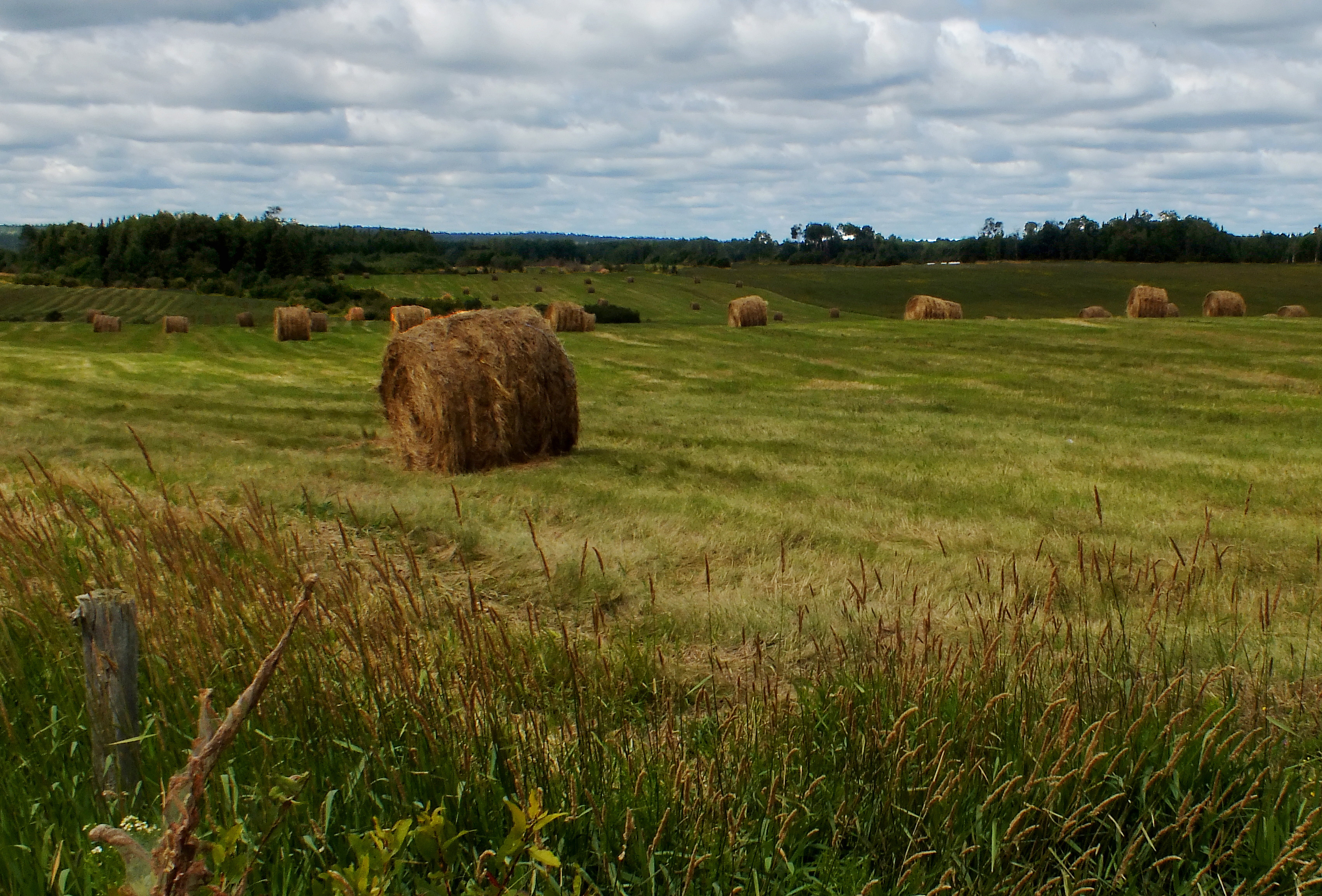
Temps des foins-2
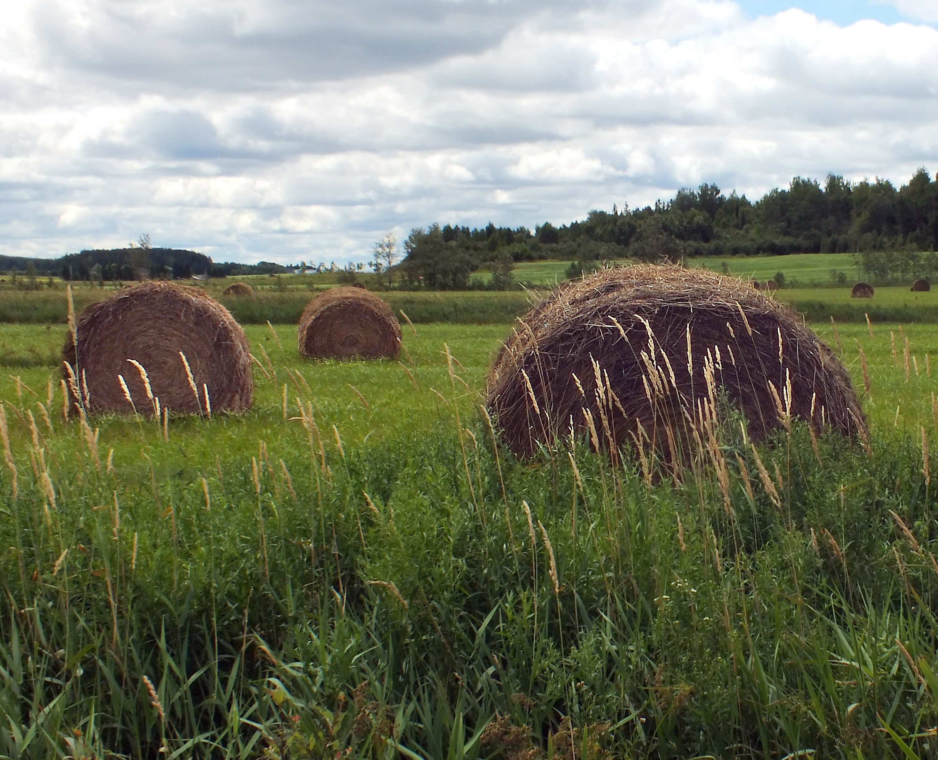
Temps des foins-1
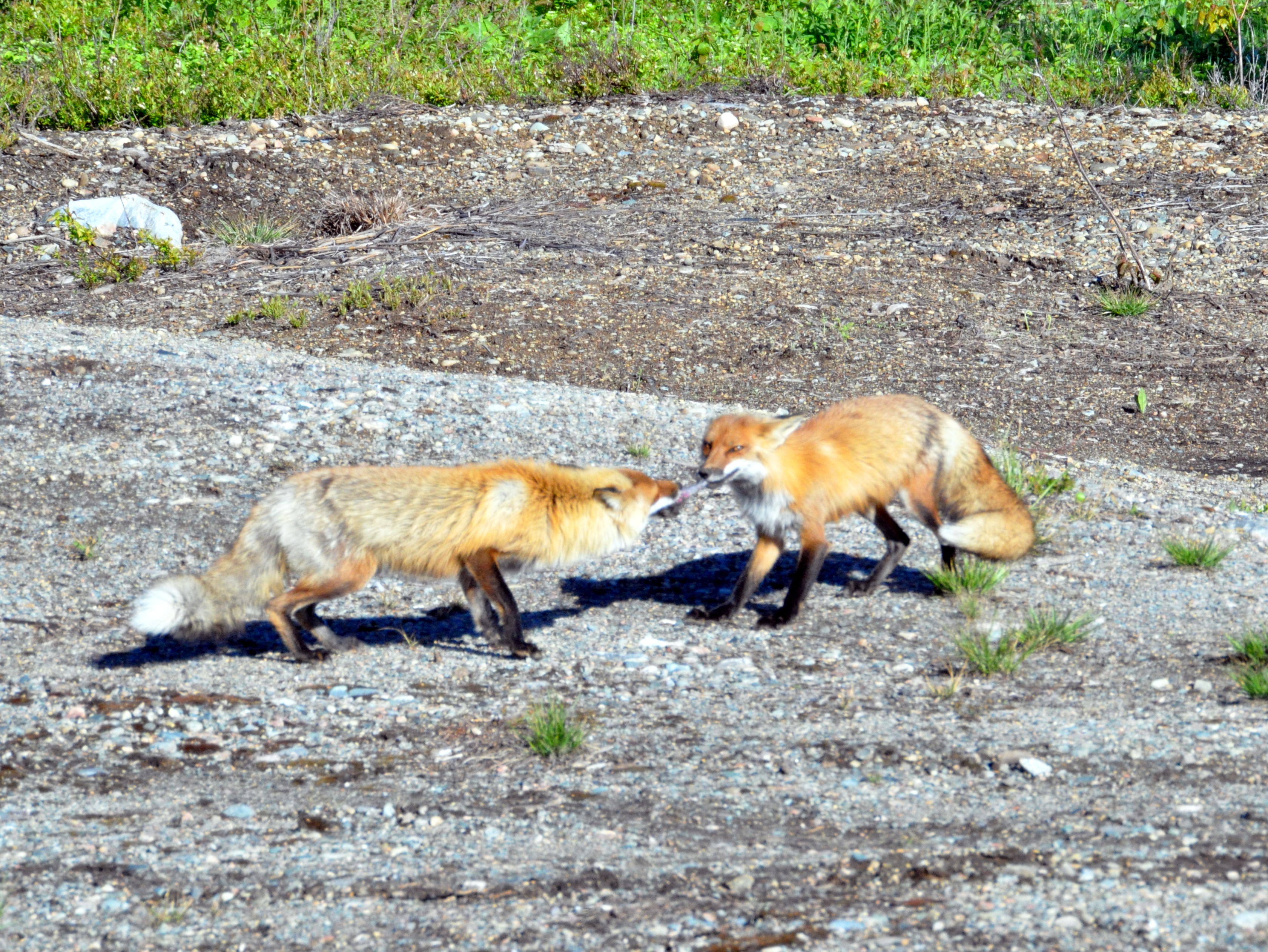
rr 06062018 x1
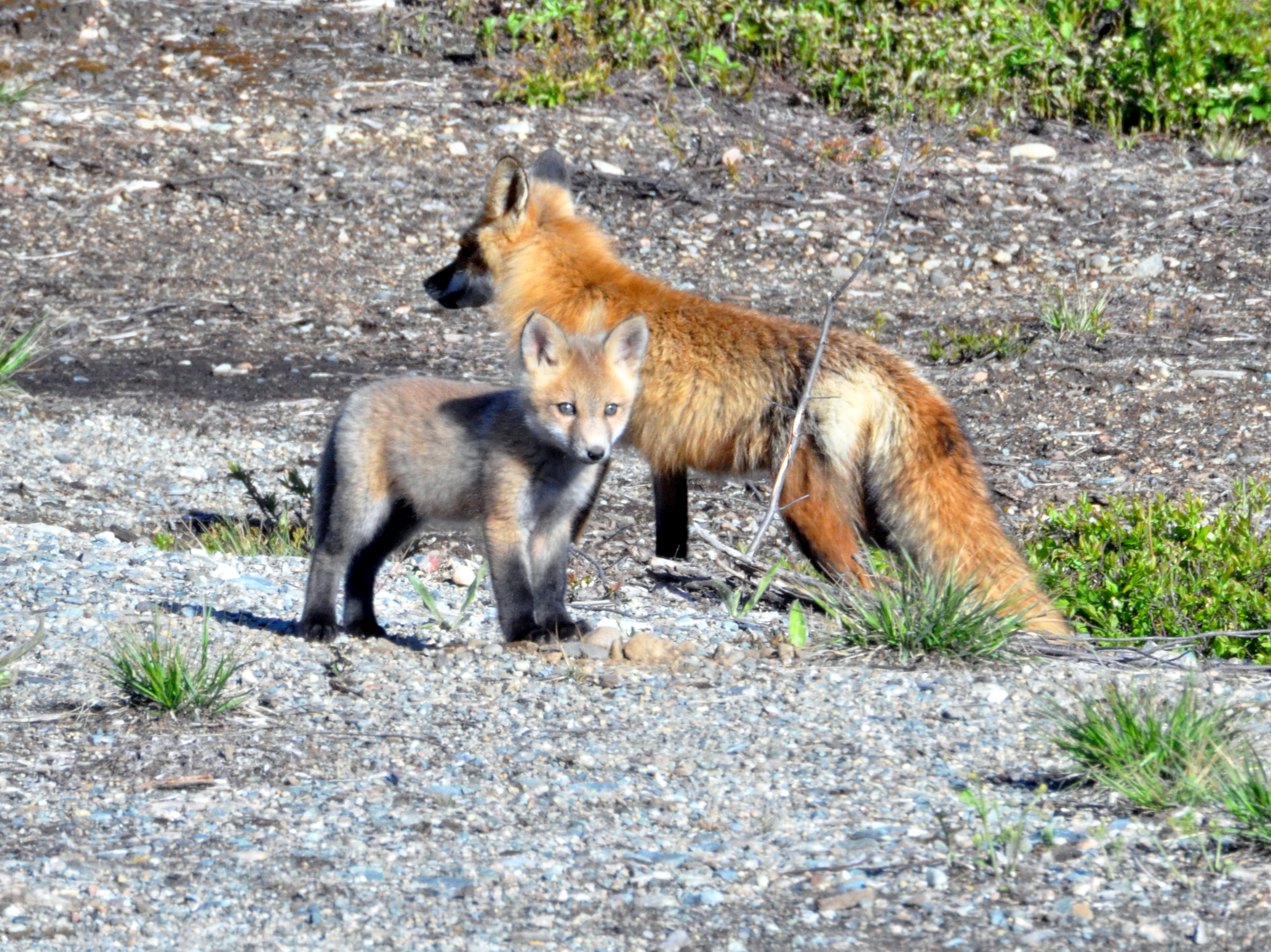
rr 06062018 x2
rr 06062018 x4
Topographic Map of Rollet, Rouyn-Noranda, QC J0Z 3J0, Canada
Find elevation by address:

Places near Rollet, Rouyn-Noranda, QC J0Z 3J0, Canada:
Chemin des Rang un et Deux E, Rouyn-Noranda, QC J9Y 0G3, Canada
205 Avenue De L'Église
Rouyn-noranda
Chemin des Rang Cinq et Six E, Rouyn-Noranda, QC J0Z 1K0, Canada
330 Rue Perreault E
Rouyn-noranda
451 Montée Du Sourire
P0k 1x0
Larder Lake
Chemin Massicotte, Duparquet, QC J0Z 1W0, Canada
Duparquet
P0j 1h0
Englehart
Rang du Parc, Rouyn-Noranda, QC J0Z, Canada
Chamberlain
Chamberlain
P0j 1b0
On The Road Again
Kirkland Lake
Kirkland Lake
Recent Searches:
- Elevation of Corso Fratelli Cairoli, 35, Macerata MC, Italy
- Elevation of Tallevast Rd, Sarasota, FL, USA
- Elevation of 4th St E, Sonoma, CA, USA
- Elevation of Black Hollow Rd, Pennsdale, PA, USA
- Elevation of Oakland Ave, Williamsport, PA, USA
- Elevation of Pedrógão Grande, Portugal
- Elevation of Klee Dr, Martinsburg, WV, USA
- Elevation of Via Roma, Pieranica CR, Italy
- Elevation of Tavkvetili Mountain, Georgia
- Elevation of Hartfords Bluff Cir, Mt Pleasant, SC, USA