Elevation of Vail, AZ, USA
Location: United States > Arizona > Pima County >
Longitude: -110.70092
Latitude: 32.0005283
Elevation: 1041m / 3415feet
Barometric Pressure: 89KPa
Elevation Map:
Satellite Map:
Related Photos:
horse sun details [IMG_0594]
white horse sunset [IMG_0592]

What is this line & the dumpsters doing here?
Lot 189 panorama from rear of lot
Lot 189 (Right) & 188

Lot 131
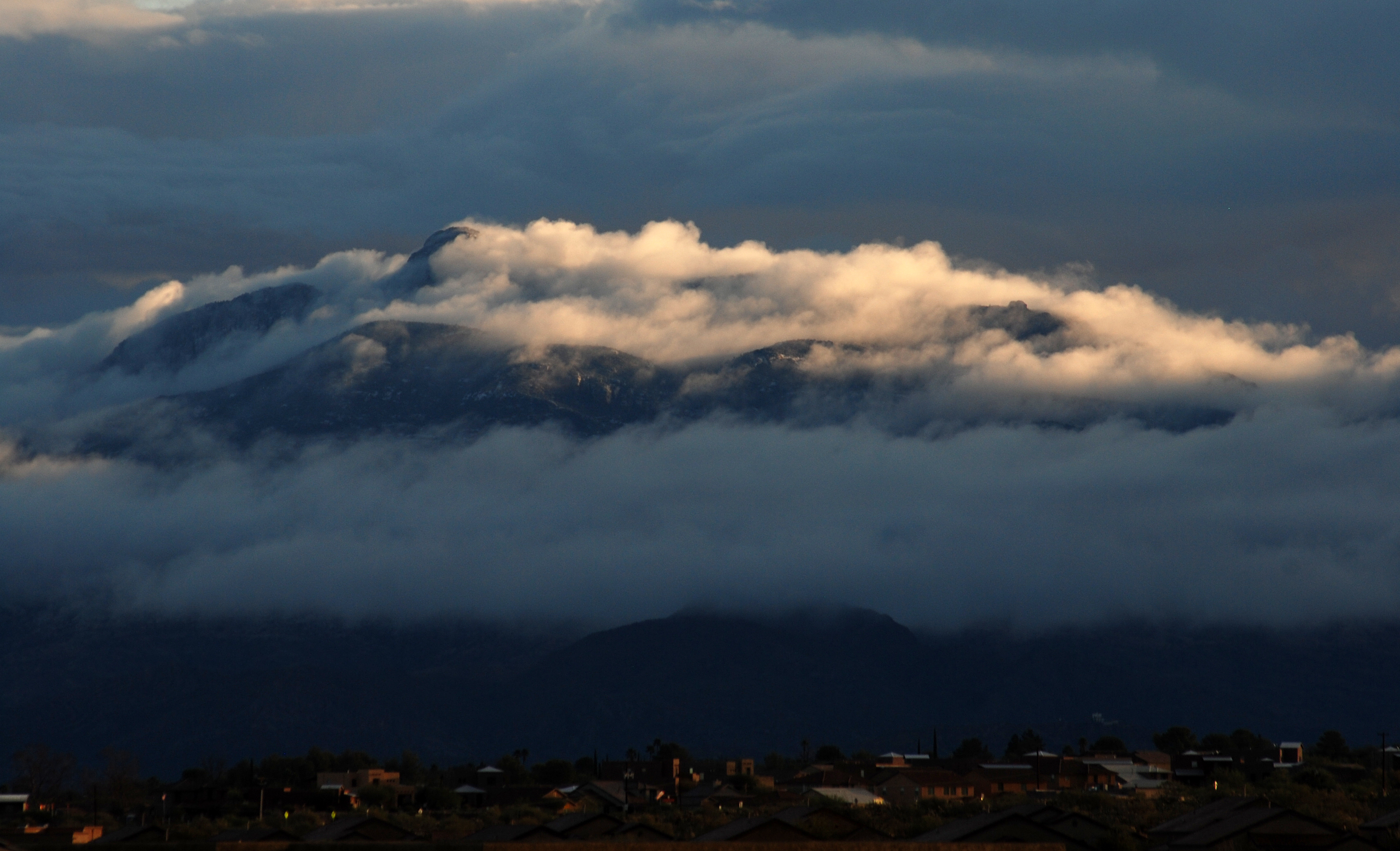
Colossal Cave View
View from Colossal Cave

sun burning through the clouds [IMG_0606]
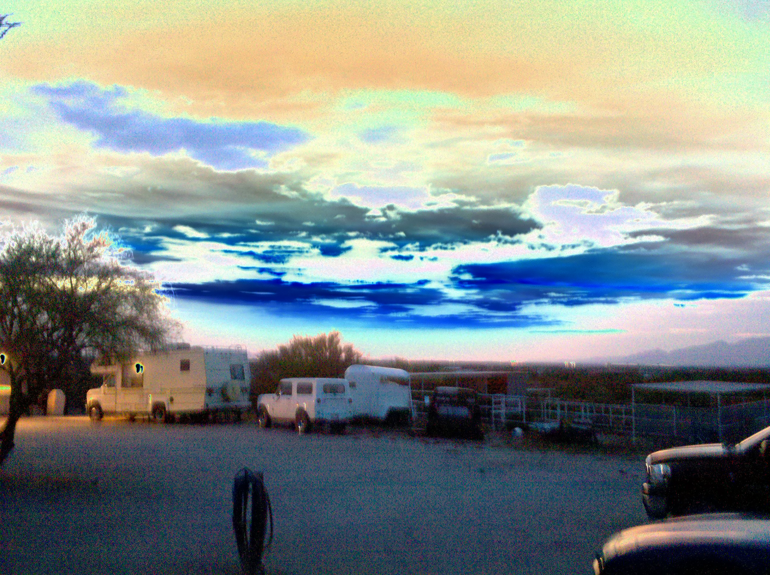
Vacant lot I own next to the train tracks
Sycamore Vista Subdivision // Santa Rita Mountains
Sycamore Vista Subdivision Unit 2
View from Colossal Cave
Sycamore Vista Unit 2 Lot 131 Cleanup
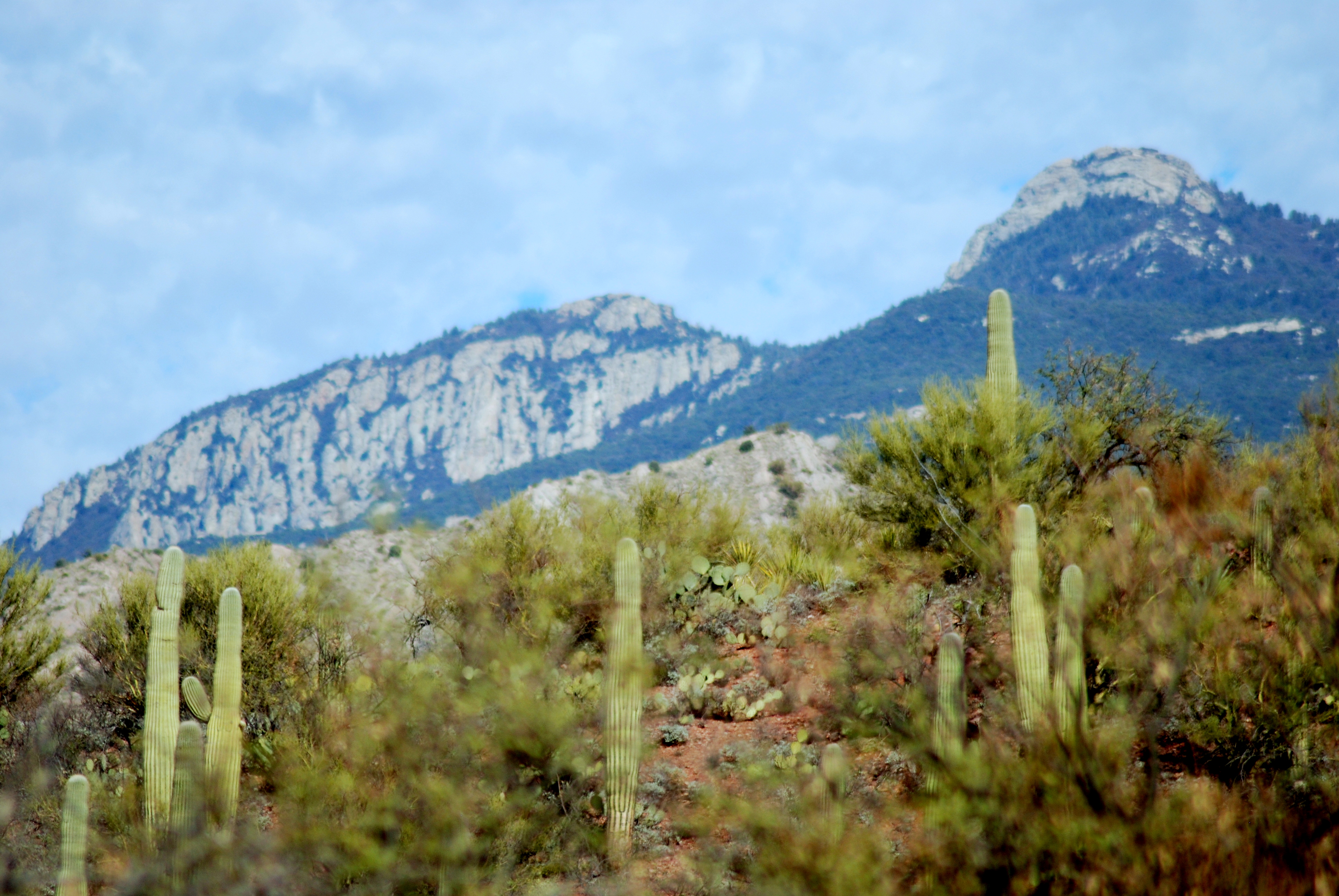
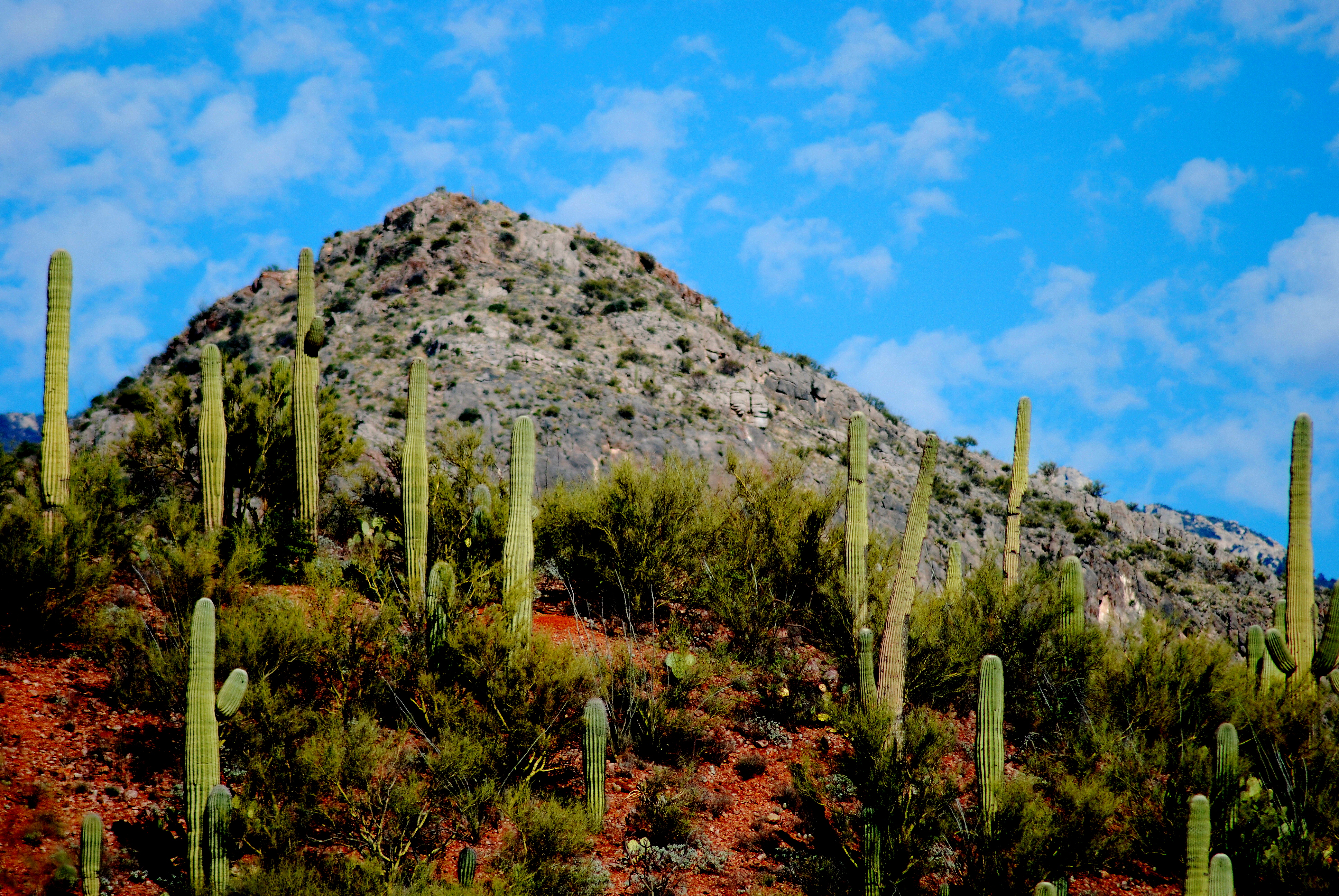
Rincon Peak of Saguaro National Park, viewed from the valley, Arizona

Panorama from Lot 189
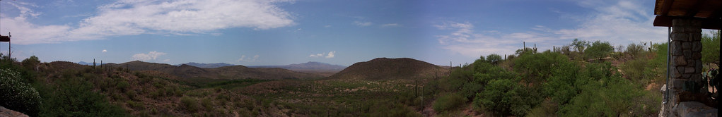
Colossal Cave Mountain Park Pano

bath time, doubletake, tucson [IMG_0580]
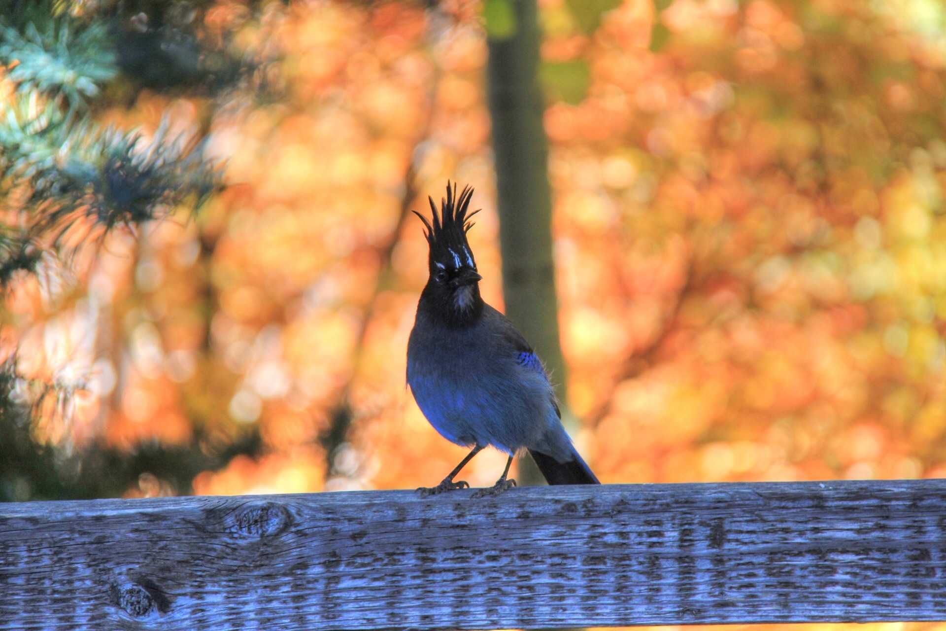
Stellars Jay in the Fall

in circles [IMG_0573]
02 12 13_6309.jpg

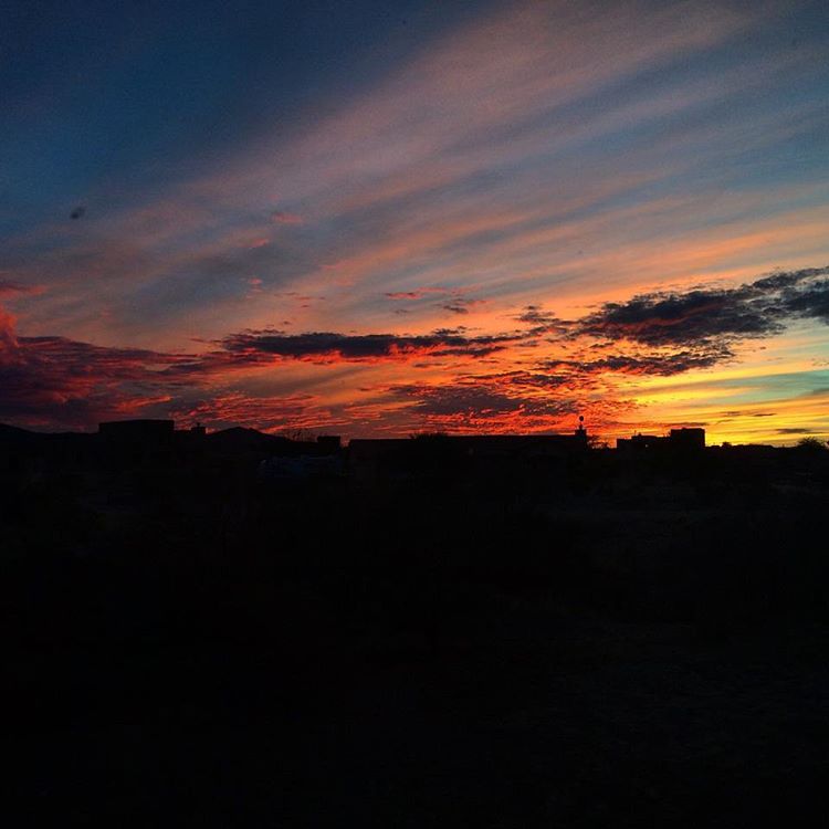
Sunset on the Move
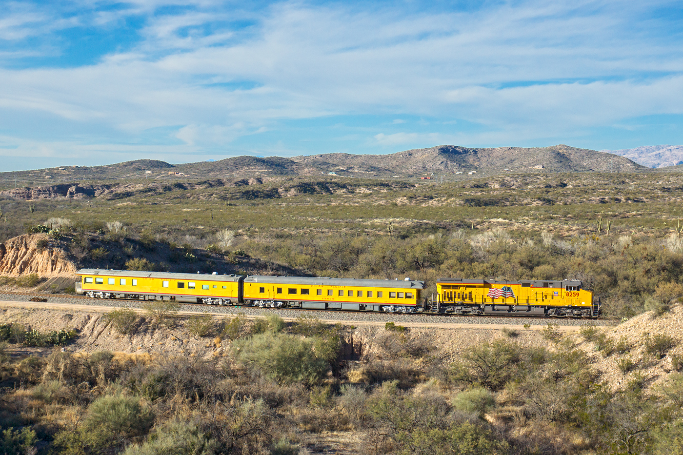
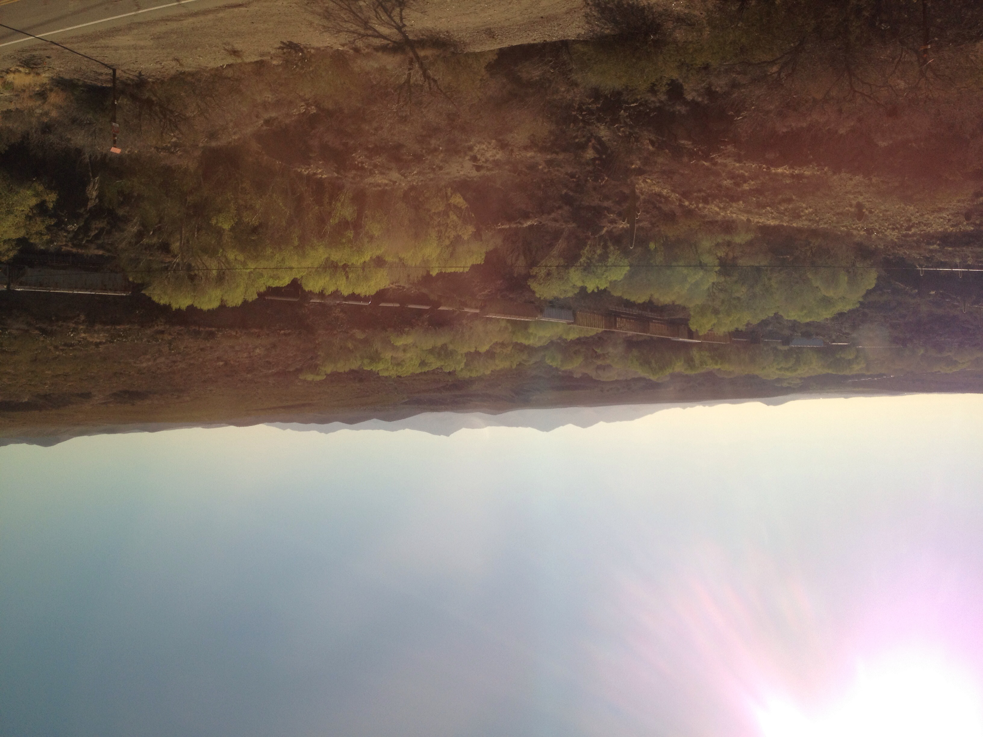
UP 8259 East @ Vail, AZ
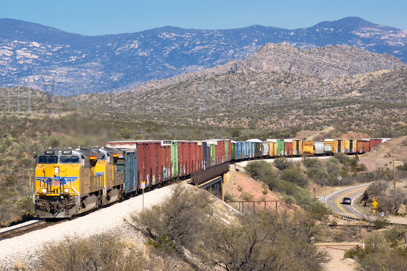
UP 8027 West @ Vail, AZ
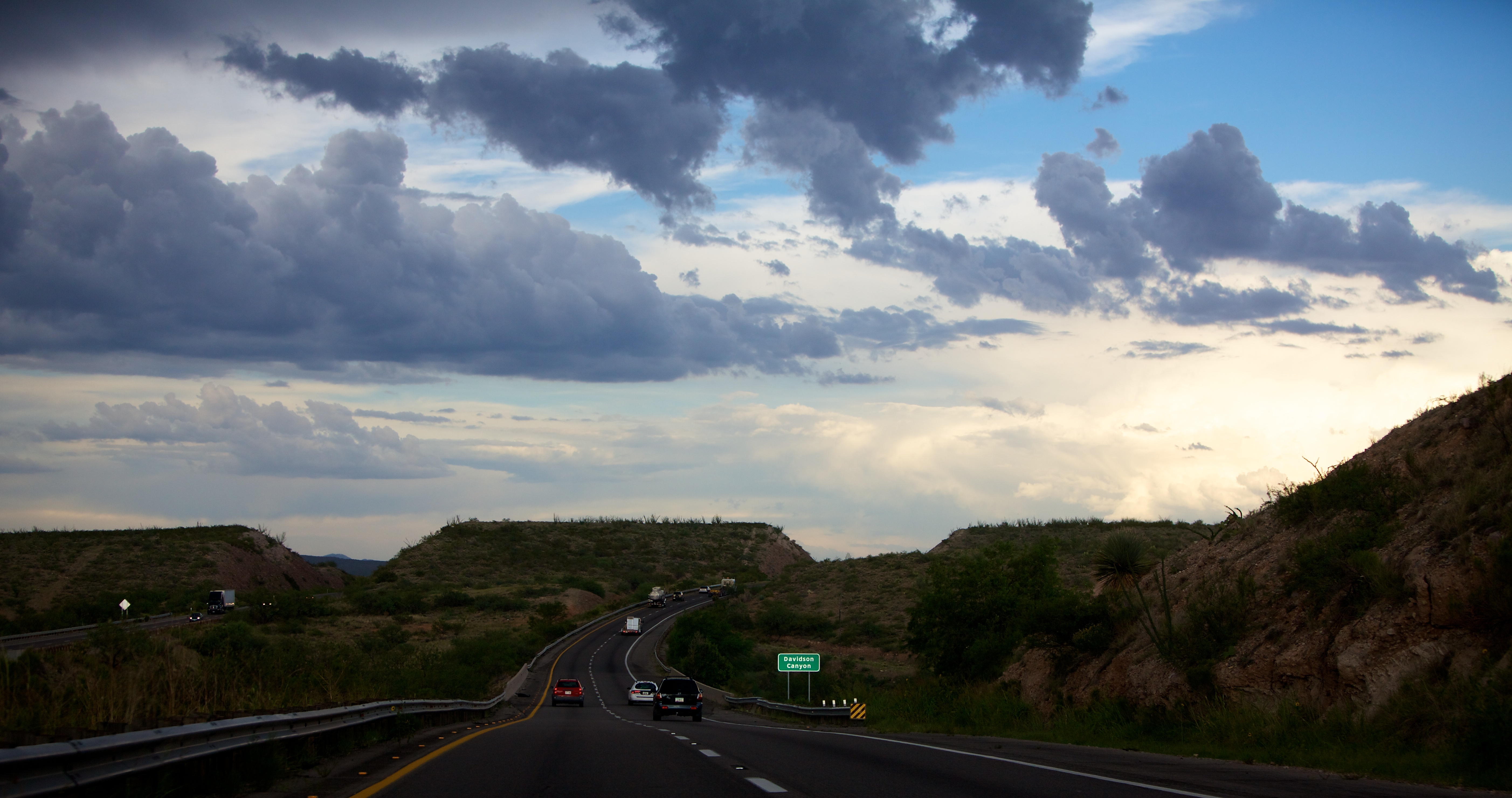
Eastbound Union Pacific at Vail purty durned close to sunset
Buenos Dias
day15 647
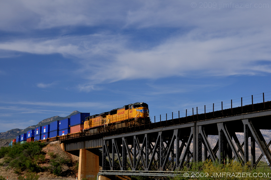
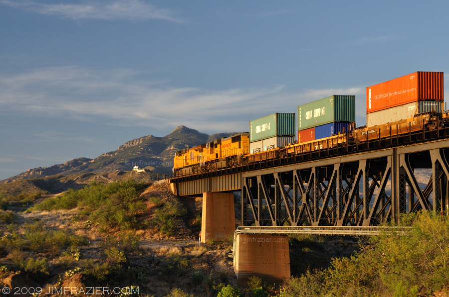
Union Pacific Westbound in Vail
2010-07-16 19.46.58.jpg
La Posta Quemeda Ranch,Arizona

02 06 13_4430.jpg
#sunsets #sunrises #arizona #fox10phoenix #ArizonaDesert #phoenix John Osborn myebay2016.com Have a wonderful day :-) everyone check out my store earn rewards
12 26 10_6620.JPG
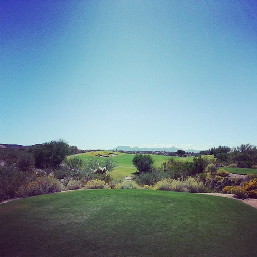
Perfect day for golf
day15 648
La Posta Quemeda Ranch,Arizona
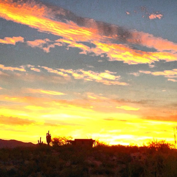
Sunrise and Cotton Clouds
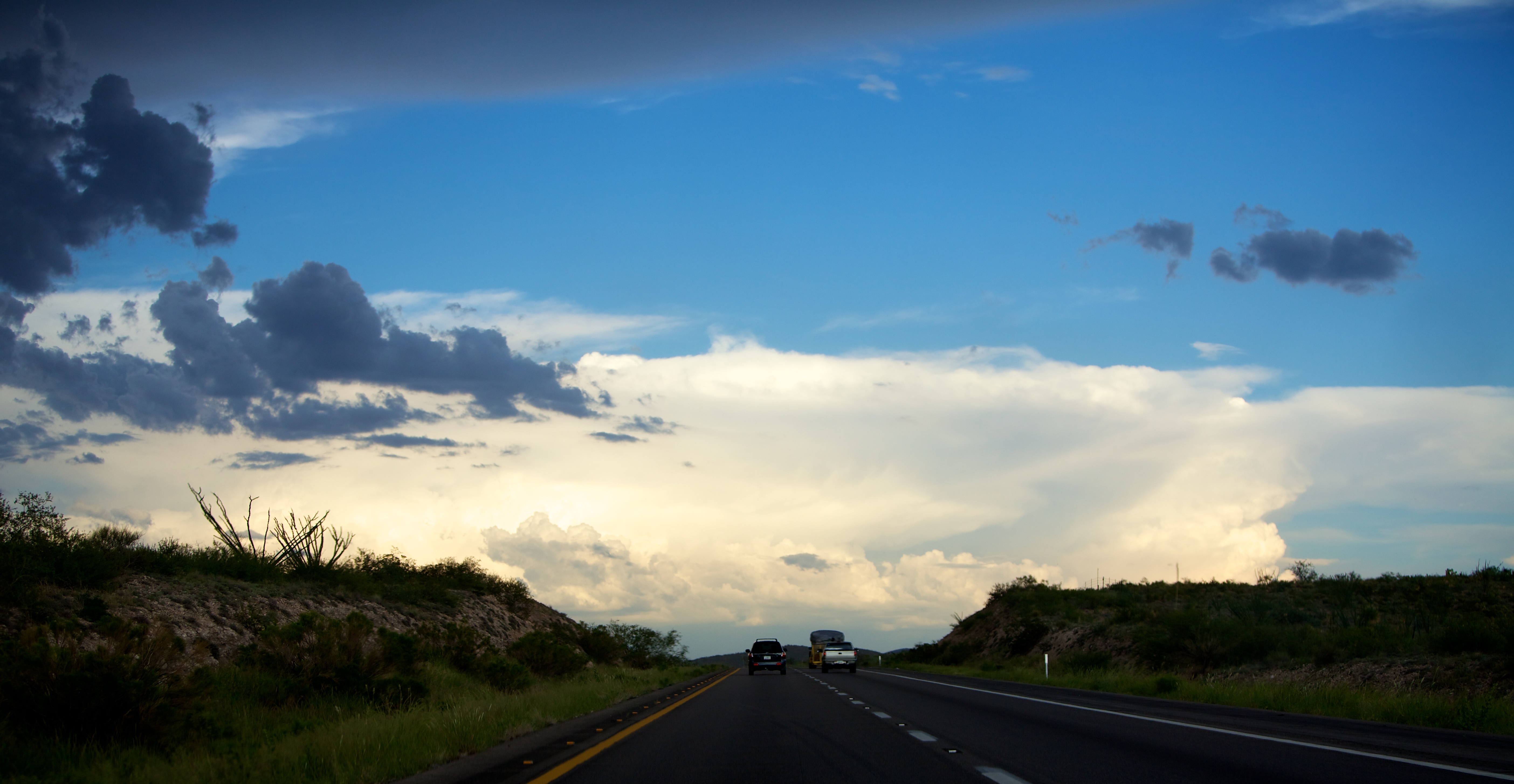
Los Angeles to El Paso. Lots of desert and more desert, and then the border of Mexico.
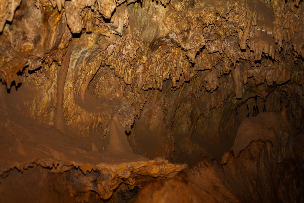
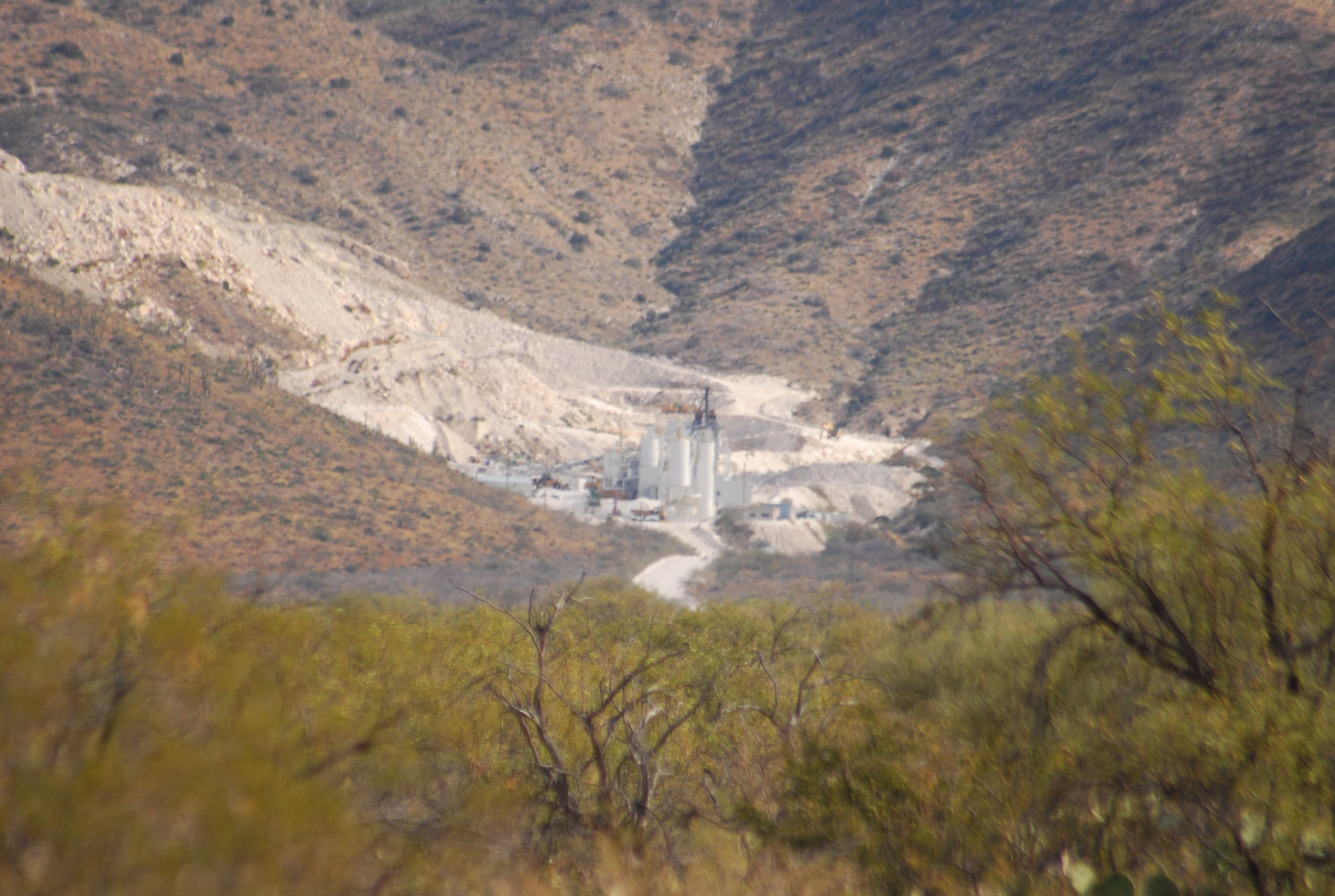
colassal cave
Topographic Map of Vail, AZ, USA
Find elevation by address:

Places in Vail, AZ, USA:
Jd Ranch
Rancho Del Lago
Estates At Old Spanish Trail
Fast Horse Ranch
Sycamore Hills Estates
Four Seasons
Vail Vista Estates
New Tucson
Santa Rita Bel Air Estates
Mica Mountain
Rincon Peak
E Wetstones Rd, Vail, AZ, USA
S Sonoita Hwy, Vail, AZ, USA
East Colossal Cave Road
Antler Crest Estates
Coyote Creek
Sycamore Springs
Santa Rita Ranch
Oasis Santa Rita
East Hillton Ranch Road
South Cienega Knolls Loop
Ocotillo Preserve
Sycamore Canyon
Loma Alta
East Cactus Hill Road
Santa Rita Estates
Mountain View Ranch
Places near Vail, AZ, USA:
13810 E Candace Ln
Jd Ranch
East Lazy Jake Lane
14253 E Jumping Jojo Pl
14499 E Sands Ranch Rd
13406 S Rockhouse Canyon Trail
Mountain View Ranch
Vail Vista Estates
13790 E Dawn Dr Rd
13639 E Windswept Way
Fast Horse Ranch
11796 S Cold Creek Pl
CORONA DE TUC, AZ, USA
11766 S Lost Horse Pl
11620 S Lava Peak Rd
East Colossal Cave Road
13215 E Alley Spring Dr
13692 E Oxmoor Valley Dr
Rancho Del Lago
10942 S Vía Jaline
Recent Searches:
- Elevation of Corso Fratelli Cairoli, 35, Macerata MC, Italy
- Elevation of Tallevast Rd, Sarasota, FL, USA
- Elevation of 4th St E, Sonoma, CA, USA
- Elevation of Black Hollow Rd, Pennsdale, PA, USA
- Elevation of Oakland Ave, Williamsport, PA, USA
- Elevation of Pedrógão Grande, Portugal
- Elevation of Klee Dr, Martinsburg, WV, USA
- Elevation of Via Roma, Pieranica CR, Italy
- Elevation of Tavkvetili Mountain, Georgia
- Elevation of Hartfords Bluff Cir, Mt Pleasant, SC, USA