Elevation of S Sonoita Hwy, Vail, AZ, USA
Location: United States > Arizona > Pima County > Vail >
Longitude: -110.73456
Latitude: 31.826829
Elevation: 1479m / 4852feet
Barometric Pressure: 85KPa
Elevation Map:
Satellite Map:
Related Photos:
Box Canyon

Last Respects
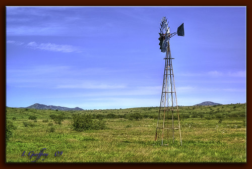
Wind Power!!
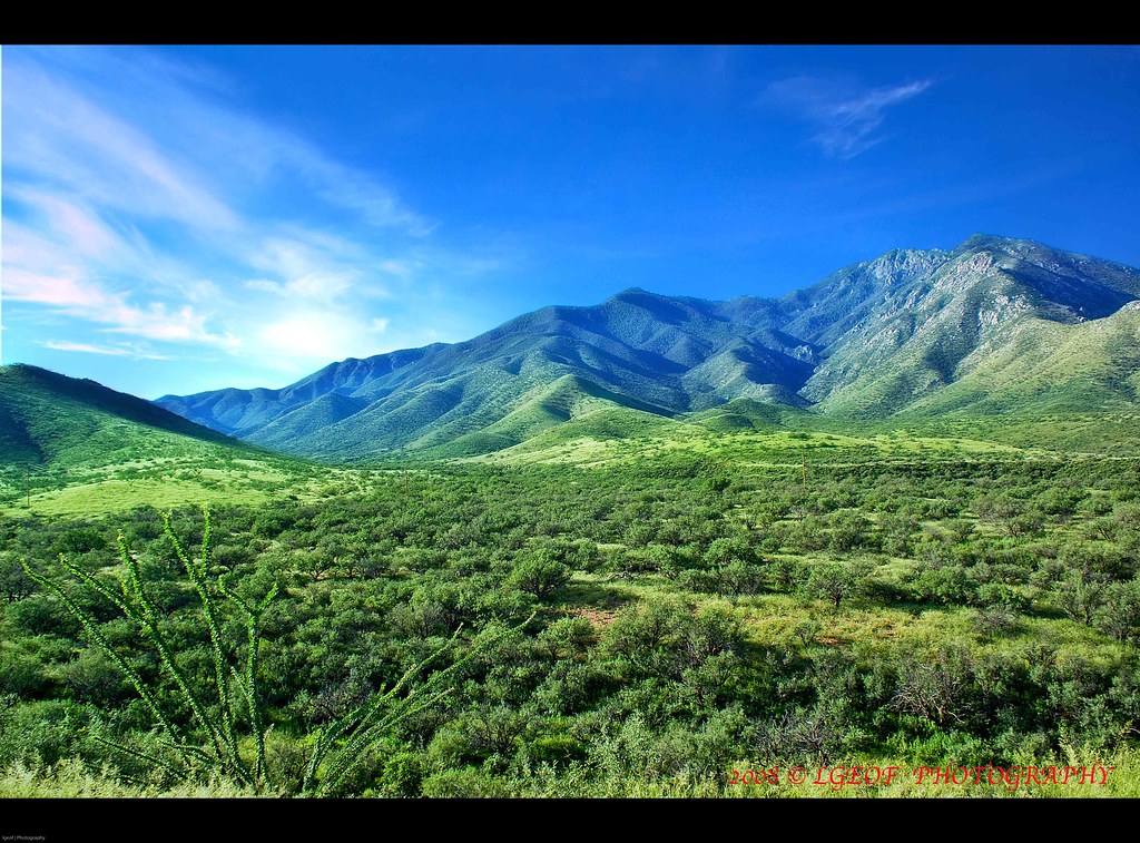
S. Sonoita Mountain View Highway

Red-tufted moth
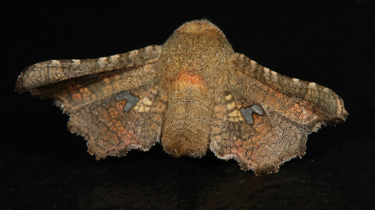
Window-Winged Moth
Sycamore Vista Subdivision // Santa Rita Mountains

Beyer's Scarab
Sycamore Vista Subdivision Unit 2

Window-Winged Moth

Pine Flycatcher

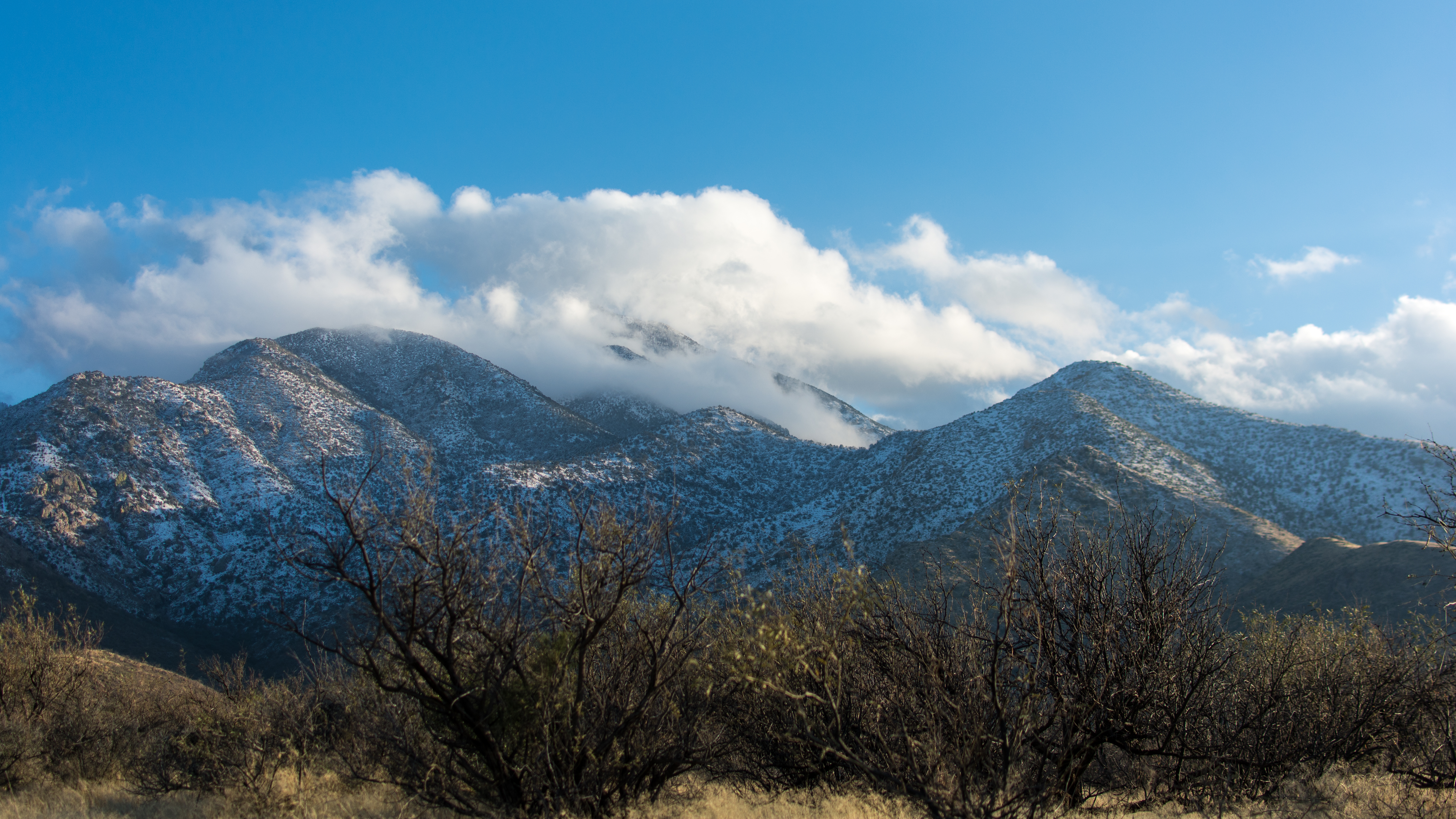
Morning Snowfall, Santa Rita Mountains, Arizona
View from Gunsight Pass
Whetstone Mountains, Arizona
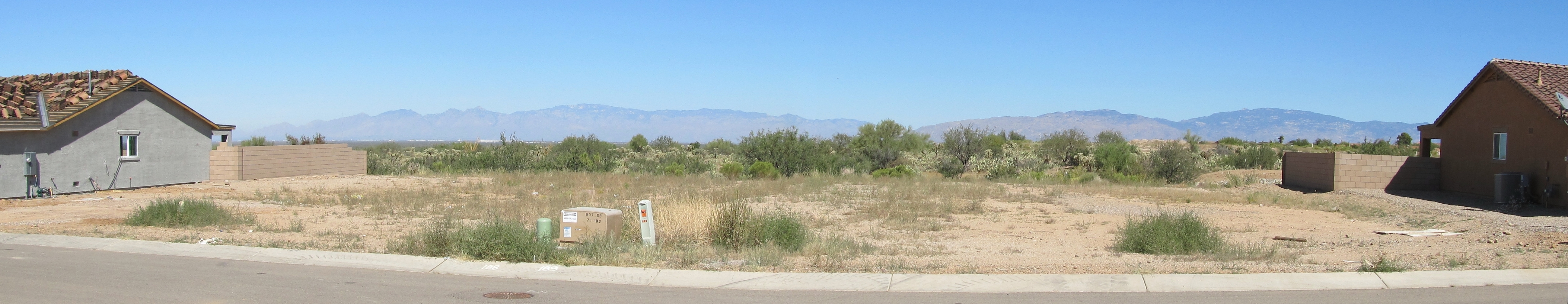
Lot 189 (Right) & 188
Sycamore Vista Unit 2 Lot 131 Cleanup

Lot 131
Mt. Wrightson in the clouds

Rufous-capped Warbler

Cactus Wren-Florida Canyon, AZ-12-29-2012

Picture-winged fly
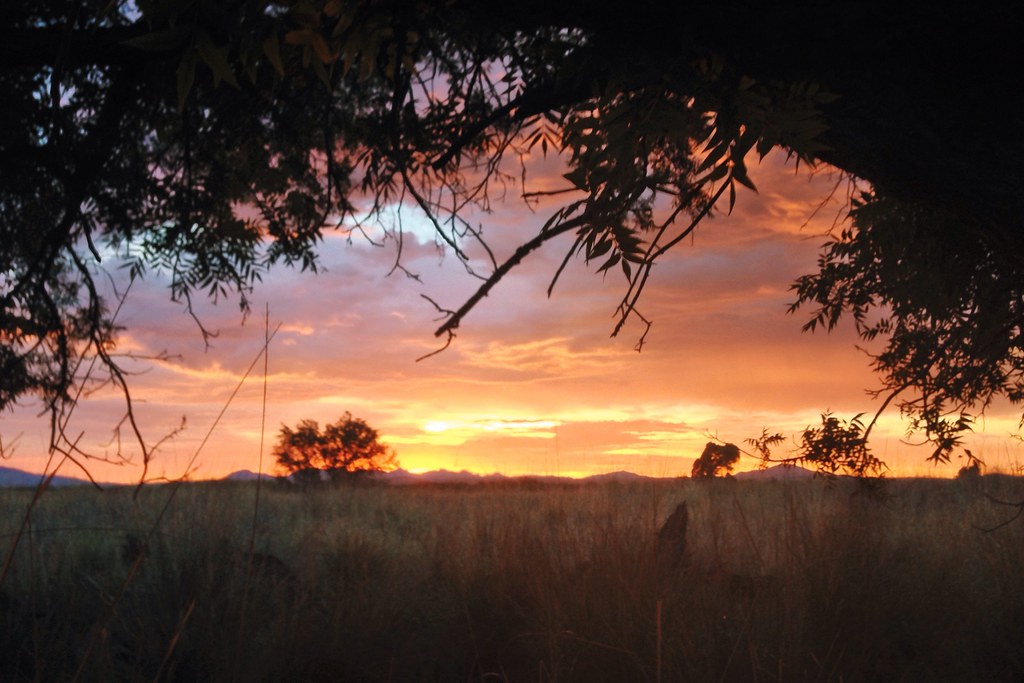
sunset over Green Valley

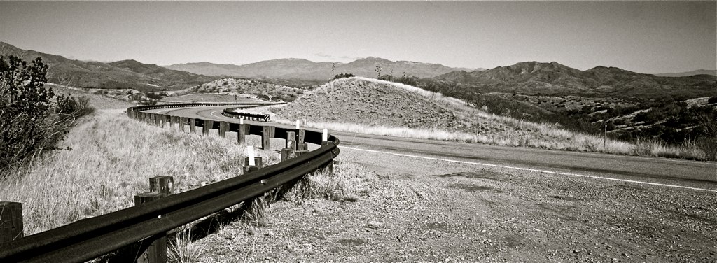
Driving in Arizona
sunset over Green Valley

What is this line & the dumpsters doing here?

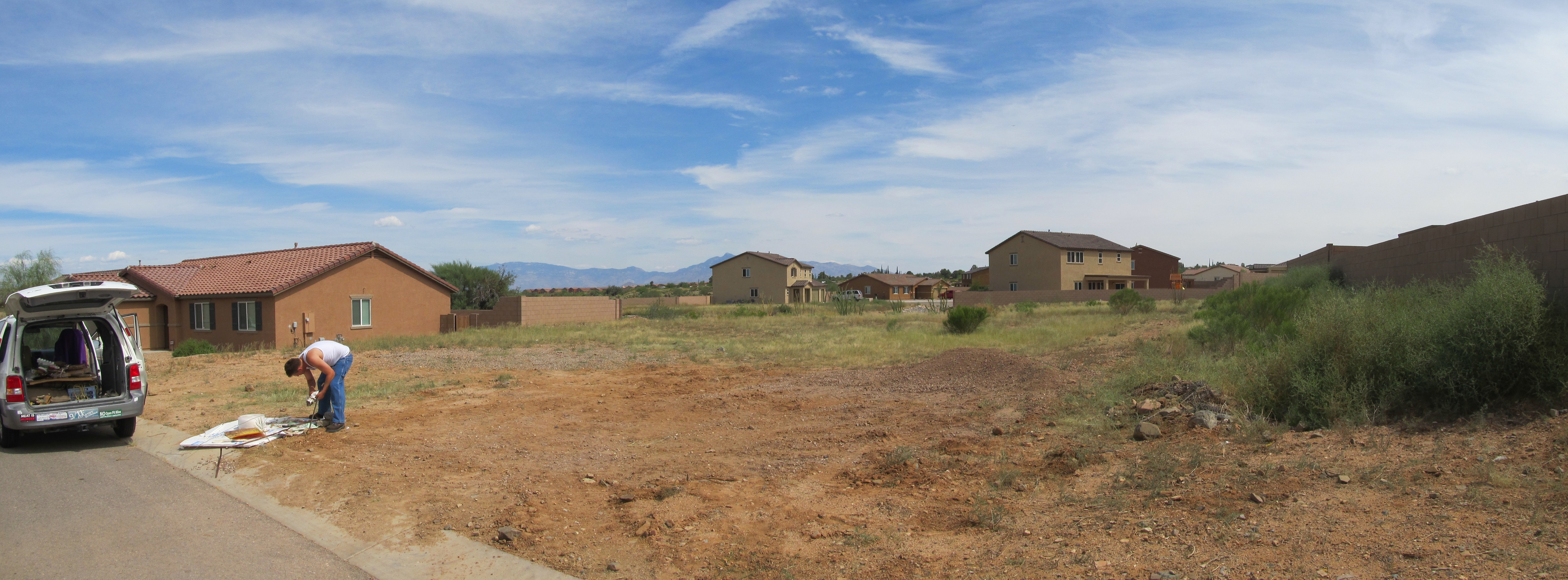
Panorama from Lot 189

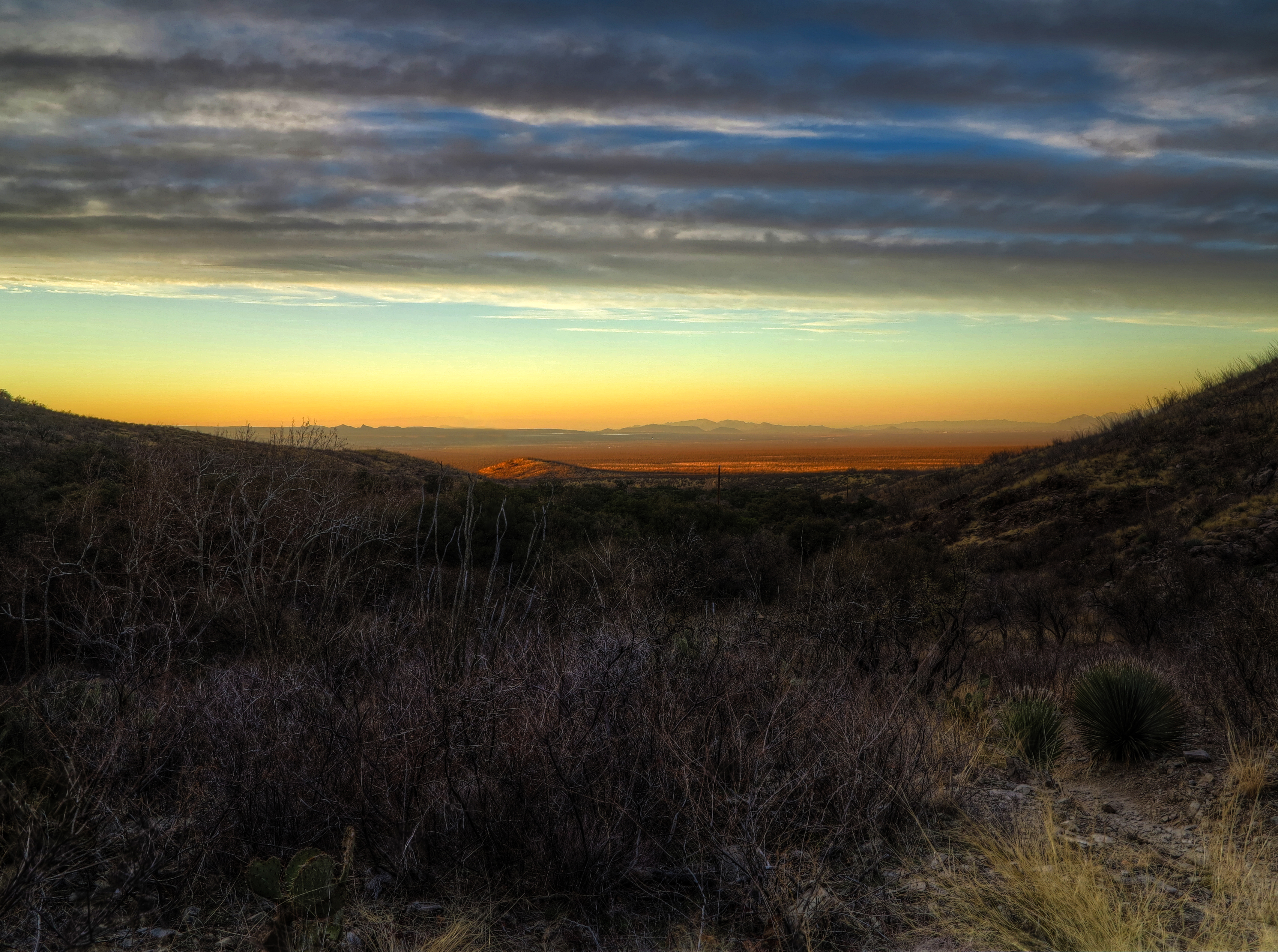
Pink Sky Over Cienegas

02 06 13_4430.jpg

My Beach
12 26 10_6620.JPG
Forest Morning
Total Wreck Road 5-Ac Panorama

Sunset on the Move

Empire Ranch Sunset
Cienegas Sunset
Topographic Map of S Sonoita Hwy, Vail, AZ, USA
Find elevation by address:

Places near S Sonoita Hwy, Vail, AZ, USA:
19395 Az-83
East Hillton Ranch Road
17401 S Copper Collar Trail
New Tucson
2540 E Broadview Dr
201 N Slate Dr
780 Maxine Dr
E Wetstones Rd, Vail, AZ, USA
825 N Drystone Ct
1434 N Wentworth Rd
1599 N Blazing Saddle Rd
24540 E Tonopah Trail
J - Six Ranchettes
25265 E Apache Trail
S Whetstone Ave, Benson, AZ, USA
16261 S Whetstone Ave
252 S Broken Arrow Ln
3349 W Jemez Pl
327 S Pima Ln
West Conaway Circle
Recent Searches:
- Elevation of Corso Fratelli Cairoli, 35, Macerata MC, Italy
- Elevation of Tallevast Rd, Sarasota, FL, USA
- Elevation of 4th St E, Sonoma, CA, USA
- Elevation of Black Hollow Rd, Pennsdale, PA, USA
- Elevation of Oakland Ave, Williamsport, PA, USA
- Elevation of Pedrógão Grande, Portugal
- Elevation of Klee Dr, Martinsburg, WV, USA
- Elevation of Via Roma, Pieranica CR, Italy
- Elevation of Tavkvetili Mountain, Georgia
- Elevation of Hartfords Bluff Cir, Mt Pleasant, SC, USA