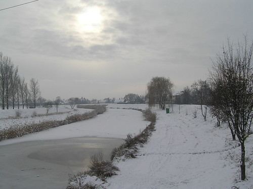
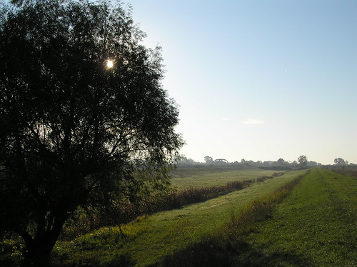
Elevation of Vámosgyörk, Hungary
Location: Hungary >
Longitude: 19.9248214
Latitude: 47.685008
Elevation: 108m / 354feet
Barometric Pressure: 100KPa
Related Photos:
Topographic Map of Vámosgyörk, Hungary
Find elevation by address:

Places near Vámosgyörk, Hungary:
Gyöngyös
Gyöngyösi
Heves County
Kál-kápolna
Kál
Füzesabony
Szolnok
Abádszalók
Tiszafüredi
Jász-nagykun-szolnok
Kecskemét
Tiszafüred
Mezőtúri
Kunhalom
Tiszaörs
Kunszentmárton
Fürdőtelep
Tiszaörs, Liget u. 1, Hungary
Kisújszállás, Esze Tamás u. 28, Hungary
Kisújszállás
Recent Searches:
- Elevation of Corso Fratelli Cairoli, 35, Macerata MC, Italy
- Elevation of Tallevast Rd, Sarasota, FL, USA
- Elevation of 4th St E, Sonoma, CA, USA
- Elevation of Black Hollow Rd, Pennsdale, PA, USA
- Elevation of Oakland Ave, Williamsport, PA, USA
- Elevation of Pedrógão Grande, Portugal
- Elevation of Klee Dr, Martinsburg, WV, USA
- Elevation of Via Roma, Pieranica CR, Italy
- Elevation of Tavkvetili Mountain, Georgia
- Elevation of Hartfords Bluff Cir, Mt Pleasant, SC, USA


