Elevation of Kál-Kápolna, Kál, Hungary

Location: Hungary > Kál >

Longitude: 20.2541667

Latitude: 47.7341667

Elevation: 115m / 377feet

Barometric Pressure: 100KPa

Elevation Map:

elevation map of Kál-Kápolna, Kál, Hungary

Satellite Map:

Satellite map of Kál-Kápolna, Kál, Hungary

Related Photos:

serene shell curl autumn colorful forest sunlight blue botanical botany bright camomile closeup color colours concept daisy delicacy design detail dreamy fantasy floral florals flower flowers focus fragility fresh freshness garden glow golden green growth healthy isolated leafs leaves light meadow nature outdoors park petal petals plants rural scenic season soft spring sun sunrise sunset sunshine therapy canon
Home sweet home
blue houses beautiful forest countryside hungary village loved hillsandmountains kisnána panoramaandview
Kisnána
blue houses forest countryside hungary village hillsandmountains kisnána panoramaandview domoszló
Tower from Tower
blue houses beautiful forest countryside hungary village liked hillsandmountains panoramaandview kisnána
Tower of Kisnána
blue houses beautiful forest countryside hungary village loved hillsandmountains kisnána panoramaandview
Kisnána II.
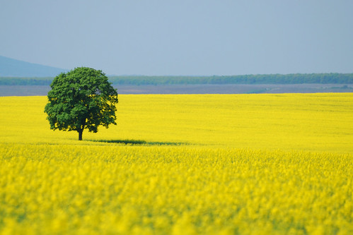
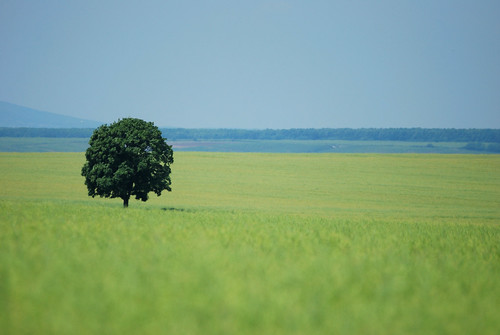
tree field landscape hungary fa táj magyarország tábla repce
Táj - Landscape
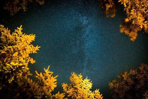
night stars relax solitude blue milkyway nature sky star space background dark light tree landscape outdoor galaxy universe astronomy forest black starry bright way winter beautiful milky wallpaper abstract mountain cosmos cold constellation summer darkness deep science fantasy trees christmas white nobody nebula sparkle astrology snow glowing texture season moon ice frost new canon
Falling Skies
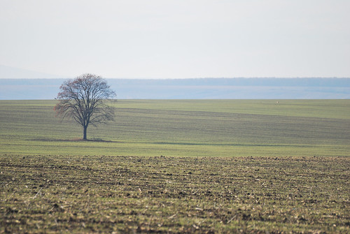
winter tree landscape fa táj tél
A Fa télen - The Tree in winter
instagramapp square squareformat iphoneography uploaded:by=instagram mayfair
The cloud factory
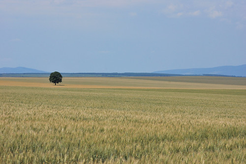
summer tree field fa nyár mező
Kedvenc fám - My favourite tree
tree field landscape fa táj magyarország mező repce
Táj - Landscape
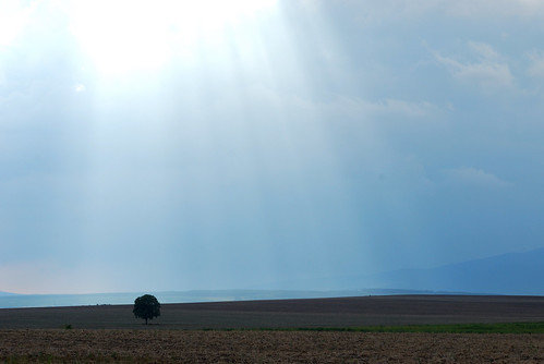
light sun tree landscape nap fa táj fény
Táj - Landscape
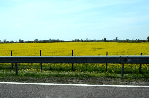
flower field hungary autobahn autoroute agriculture ungarn tavasz virág 2015 hongrie tábla április mező autópálya canole repce mezőgazdaság repcemező dormánd
2015_Dormánd_3295
nagyistván egerszalók magyarország magyar hungary nagyistvan8 fürdő spa mészkődomb sódomb salthill absztrakt abstract mészkő limestone háttérkép background színek colors barna fehér fekete szürke sárga yellow brown white black grey idomok alakzat alak forma formation form texture pattern extreme special különleges spectacle látványosság híres famous képződmény egerszalókpamukkaleyellowstone 2019 nikon
Limestone Hill Landscape
flowers macro nature yellow nikon sticky senecio groundsel nikon28105mmf3545 viscosus aggófű nikond7100 enyves
Senecio viscosus
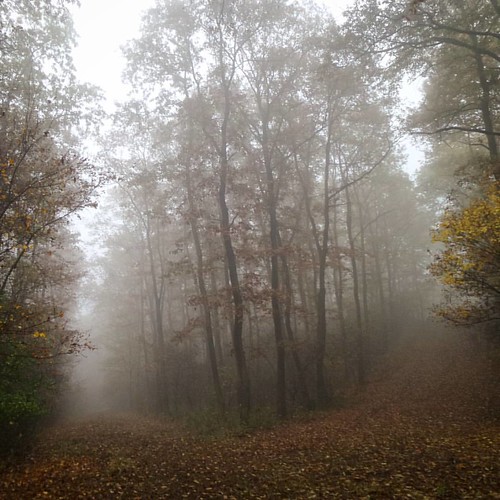
square squareformat iphoneography instagramapp uploaded:by=instagram
Kerecsendi erdő s a ködök
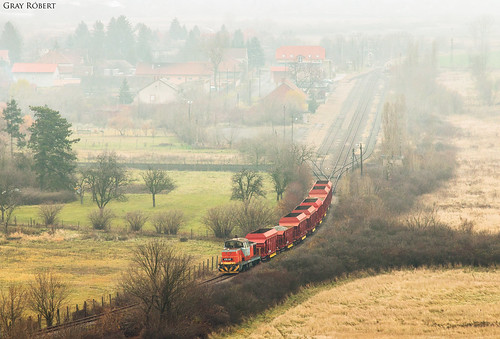
robertg train
Verpelét
nature landscape outdoor stones
An extinct volcano
square squareformat iphoneography instagramapp uploaded:by=instagram
AZ Erdő. Turistaszántás, megszállás, büfé, vécé nélkül hál'Istennek.
Kisnánai vár
landscape landschap veld field splitdef124bus public nobody füzesabony cc0 creativecommons 20180812154658lc coeluc vak201809maramures buspicture heves hungary
Füzesabony
square squareformat iphoneography instagramapp uploaded:by=instagram
Kerecsendi Erdő, A
kisnána2
Egerszalóki gyógyfürdő
Egerszalok - meszkokivalas00