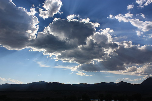
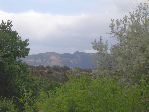
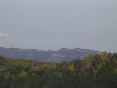
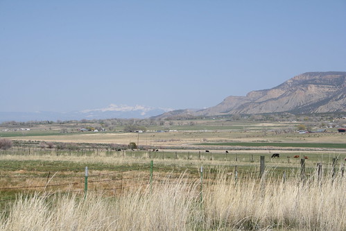
Elevation of Ute Peak, Colorado, USA
Location: United States > Colorado > Montezuma County > Cortez >
Longitude: -108.77871
Latitude: 37.2841604
Elevation: 2849m / 9347feet
Barometric Pressure: 71KPa
Related Photos:
Topographic Map of Ute Peak, Colorado, USA
Find elevation by address:

Places near Ute Peak, Colorado, USA:
Kelly Place Bed & Breakfast
Cortez, CO, USA
Towaoc
1858 Us-491
12665 Rd 23
6512 County Rd G
14324 Rd 20
Montezuma County
15238 Rd 21
Mancos River
212 W Montezuma Ave
Cortez
25 N Market St
240 N Chestnut St
694 Cottonwood St
Road G, Cortez, CO, USA
Cortez / Mesa Verde Koa Journey
Lewis
H 6
Rd W, Lewis, CO, USA
Recent Searches:
- Elevation of Corso Fratelli Cairoli, 35, Macerata MC, Italy
- Elevation of Tallevast Rd, Sarasota, FL, USA
- Elevation of 4th St E, Sonoma, CA, USA
- Elevation of Black Hollow Rd, Pennsdale, PA, USA
- Elevation of Oakland Ave, Williamsport, PA, USA
- Elevation of Pedrógão Grande, Portugal
- Elevation of Klee Dr, Martinsburg, WV, USA
- Elevation of Via Roma, Pieranica CR, Italy
- Elevation of Tavkvetili Mountain, Georgia
- Elevation of Hartfords Bluff Cir, Mt Pleasant, SC, USA


