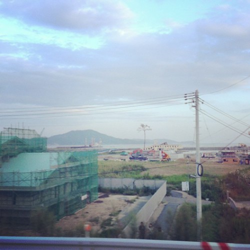
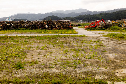
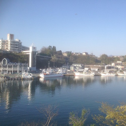
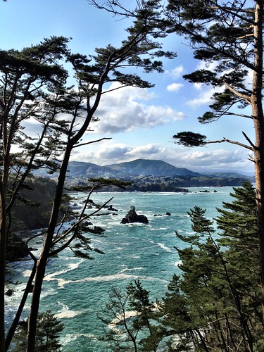
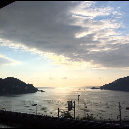
Elevation of Ushirohanagai--17 Hirotachō, Rikuzentakata-shi, Iwate-ken -, Japan
Location: Japan > Iwate Prefecture > Rikuzentakata >
Longitude: 141.6892164
Latitude: 38.9687242
Elevation: 71m / 233feet
Barometric Pressure: 0KPa
Related Photos:
Topographic Map of Ushirohanagai--17 Hirotachō, Rikuzentakata-shi, Iwate-ken -, Japan
Find elevation by address:

Places near Ushirohanagai--17 Hirotachō, Rikuzentakata-shi, Iwate-ken -, Japan:
Nakazawa-80-12 Hirotachō, Rikuzentakata-shi, Iwate-ken -, Japan
Rikuzentakata
Nakai- Kesenchō, Rikuzentakata-shi, Iwate-ken -, Japan
-6 Karakuwachō Nakai, Kesennuma-shi, Miyagi-ken -, Japan
Jinomori-48-11 Ōfunatochō, Ōfunato-shi, Iwate-ken -, Japan
Ofunato
8-25 Uoichibamae, Kesennuma-shi, Miyagi-ken -, Japan
Kesennuma
Ōhatano-88 Takkonchō, Ōfunato-shi, Iwate-ken -, Japan
Dai, Kesennuma-shi, Miyagi-ken -, Japan
45 Akaiwaōishikura, Kesennuma-shi, Miyagi-ken -, Japan
Sumita
Amakaze-2-4 Setamai, Sumita-chō, Kesen-gun, Iwate-ken -, Japan
Nakagami-14 Shimoarisu, Sumita-chō, Kesen-gun, Iwate-ken -, Japan
Kesen District
Tamogawa- Utatsu, Minamisanriku-chō, Motoyoshi-gun, Miyagi-ken -, Japan
18 Chiwari-11 Kamigōchō Hosogoe, Tōno-shi, Iwate-ken -, Japan
Komehiro-26 Shizugawa, Minamisanriku-chō, Motoyoshi-gun, Miyagi-ken -, Japan
2 Chome-3-1 Chidorichō, Kamaishi-shi, Iwate-ken -, Japan
Motoyoshi District
Recent Searches:
- Elevation map of Greenland, Greenland
- Elevation of Sullivan Hill, New York, New York, 10002, USA
- Elevation of Morehead Road, Withrow Downs, Charlotte, Mecklenburg County, North Carolina, 28262, USA
- Elevation of 2800, Morehead Road, Withrow Downs, Charlotte, Mecklenburg County, North Carolina, 28262, USA
- Elevation of Yangbi Yi Autonomous County, Yunnan, China
- Elevation of Pingpo, Yangbi Yi Autonomous County, Yunnan, China
- Elevation of Mount Malong, Pingpo, Yangbi Yi Autonomous County, Yunnan, China
- Elevation map of Yongping County, Yunnan, China
- Elevation of North 8th Street, Palatka, Putnam County, Florida, 32177, USA
- Elevation of 107, Big Apple Road, East Palatka, Putnam County, Florida, 32131, USA
- Elevation of Jiezi, Chongzhou City, Sichuan, China
- Elevation of Chongzhou City, Sichuan, China
- Elevation of Huaiyuan, Chongzhou City, Sichuan, China
- Elevation of Qingxia, Chengdu, Sichuan, China
- Elevation of Corso Fratelli Cairoli, 35, Macerata MC, Italy
- Elevation of Tallevast Rd, Sarasota, FL, USA
- Elevation of 4th St E, Sonoma, CA, USA
- Elevation of Black Hollow Rd, Pennsdale, PA, USA
- Elevation of Oakland Ave, Williamsport, PA, USA
- Elevation of Pedrógão Grande, Portugal

