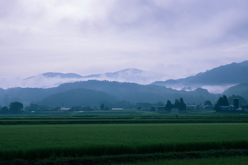
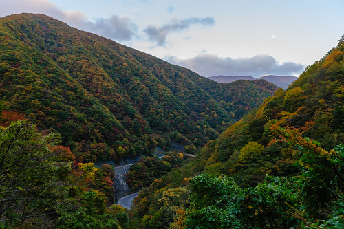
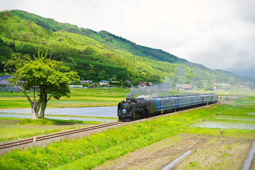
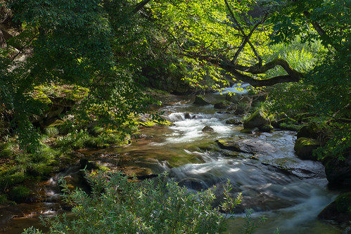
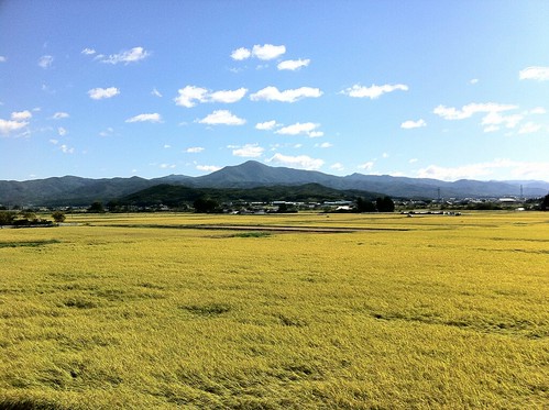
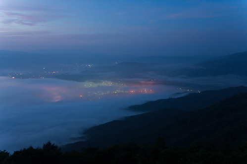
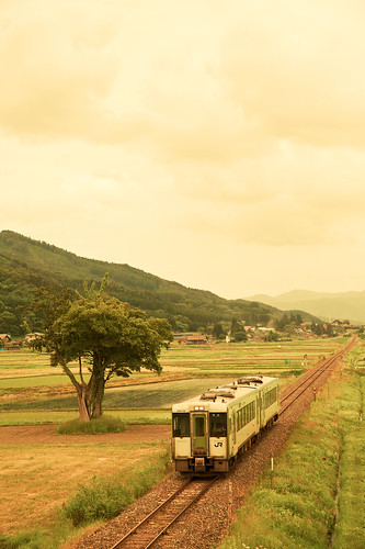
Elevation of 18 Chiwari-11 Kamigōchō Hosogoe, Tōno-shi, Iwate-ken -, Japan
Location: Japan > Iwate Prefecture >
Longitude: 141.600832
Latitude: 39.2665712
Elevation: 399m / 1309feet
Barometric Pressure: 97KPa
Related Photos:
Topographic Map of 18 Chiwari-11 Kamigōchō Hosogoe, Tōno-shi, Iwate-ken -, Japan
Find elevation by address:

Places near 18 Chiwari-11 Kamigōchō Hosogoe, Tōno-shi, Iwate-ken -, Japan:
Nakagami-14 Shimoarisu, Sumita-chō, Kesen-gun, Iwate-ken -, Japan
Kesen District
3 Chiwari-99 Matsuzakichō Kōkōji, Tōno-shi, Iwate-ken -, Japan
Amakaze-2-4 Setamai, Sumita-chō, Kesen-gun, Iwate-ken -, Japan
Sumita
Ōhatano-88 Takkonchō, Ōfunato-shi, Iwate-ken -, Japan
Ofunato
Jinomori-48-11 Ōfunatochō, Ōfunato-shi, Iwate-ken -, Japan
Rikuzentakata
Nakai- Kesenchō, Rikuzentakata-shi, Iwate-ken -, Japan
2 Chome-3-1 Chidorichō, Kamaishi-shi, Iwate-ken -, Japan
Kamaishi
1 Chome-4-1 Hamachō
Dai 21 Chiwari Kozuchi
Ushirohanagai--17 Hirotachō, Rikuzentakata-shi, Iwate-ken -, Japan
Otsuchi
Nakazawa-80-12 Hirotachō, Rikuzentakata-shi, Iwate-ken -, Japan
Dai, Kesennuma-shi, Miyagi-ken -, Japan
Kesennuma
8-25 Uoichibamae, Kesennuma-shi, Miyagi-ken -, Japan
Recent Searches:
- Elevation of Corso Fratelli Cairoli, 35, Macerata MC, Italy
- Elevation of Tallevast Rd, Sarasota, FL, USA
- Elevation of 4th St E, Sonoma, CA, USA
- Elevation of Black Hollow Rd, Pennsdale, PA, USA
- Elevation of Oakland Ave, Williamsport, PA, USA
- Elevation of Pedrógão Grande, Portugal
- Elevation of Klee Dr, Martinsburg, WV, USA
- Elevation of Via Roma, Pieranica CR, Italy
- Elevation of Tavkvetili Mountain, Georgia
- Elevation of Hartfords Bluff Cir, Mt Pleasant, SC, USA
