Elevation of Usakos, Namibia
Location: Namibia > Erongo Region >
Longitude: 15.5855438
Latitude: -22.004215
Elevation: 869m / 2851feet
Barometric Pressure: 91KPa
Elevation Map:
Satellite Map:
Related Photos:
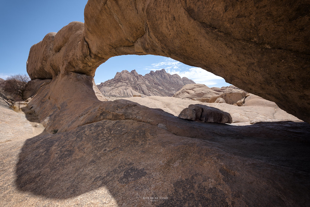
Namibia: Spitzkoppe

African Monarch
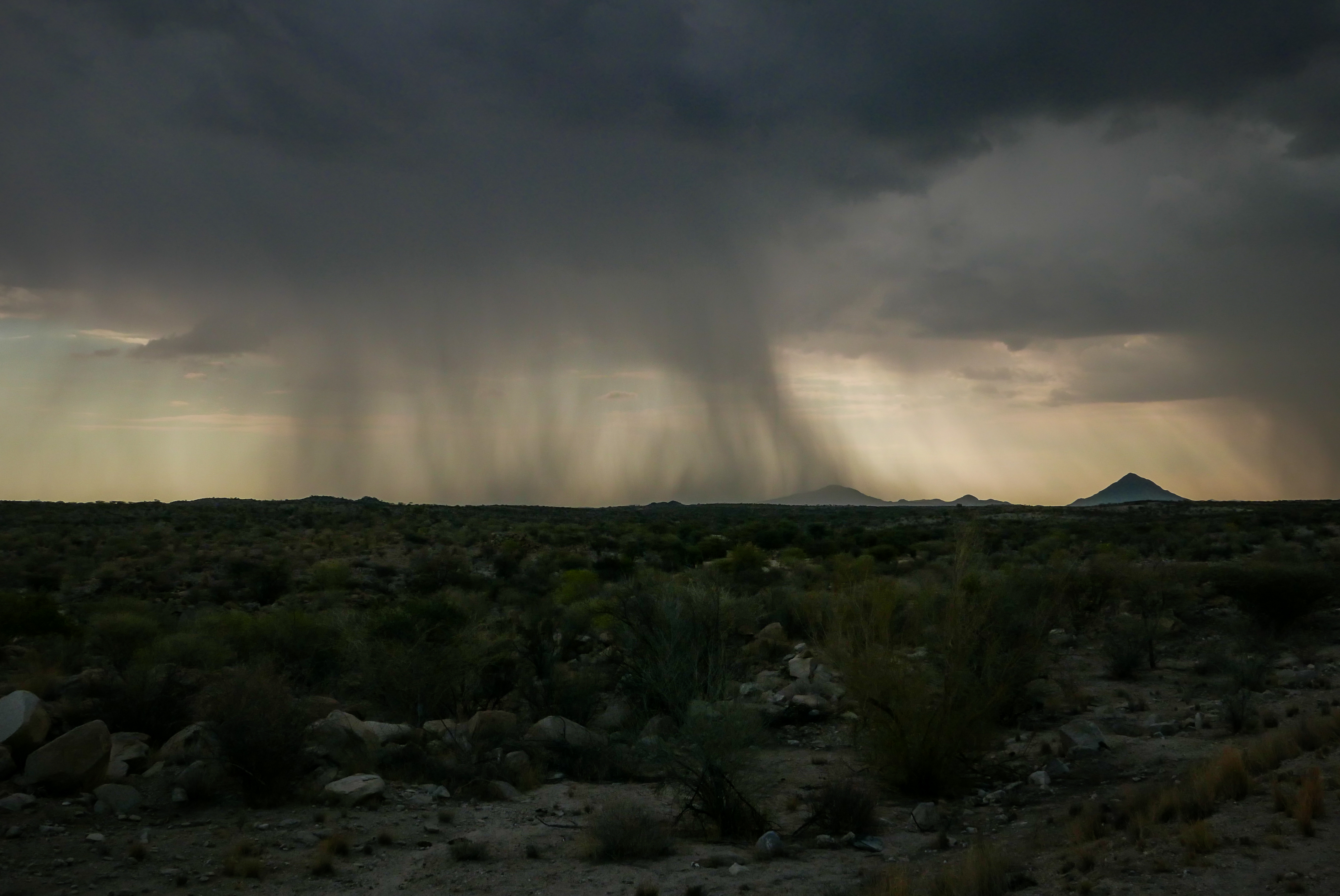
Heavy rain
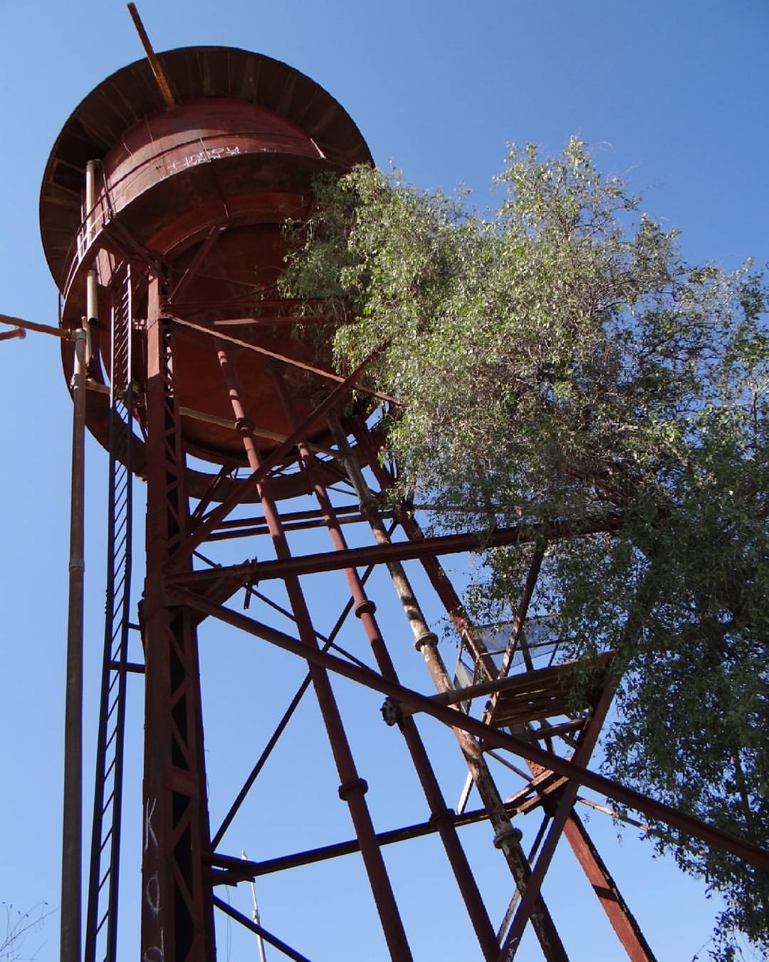
Usakos: old watertank with a toothbrush bush, Salvadora persica , climbing up ...

IMG_7479.JPG

IMG_7477.JPG

safari lisa

erongo aquamarine usakos crystal market

3 years on a bike
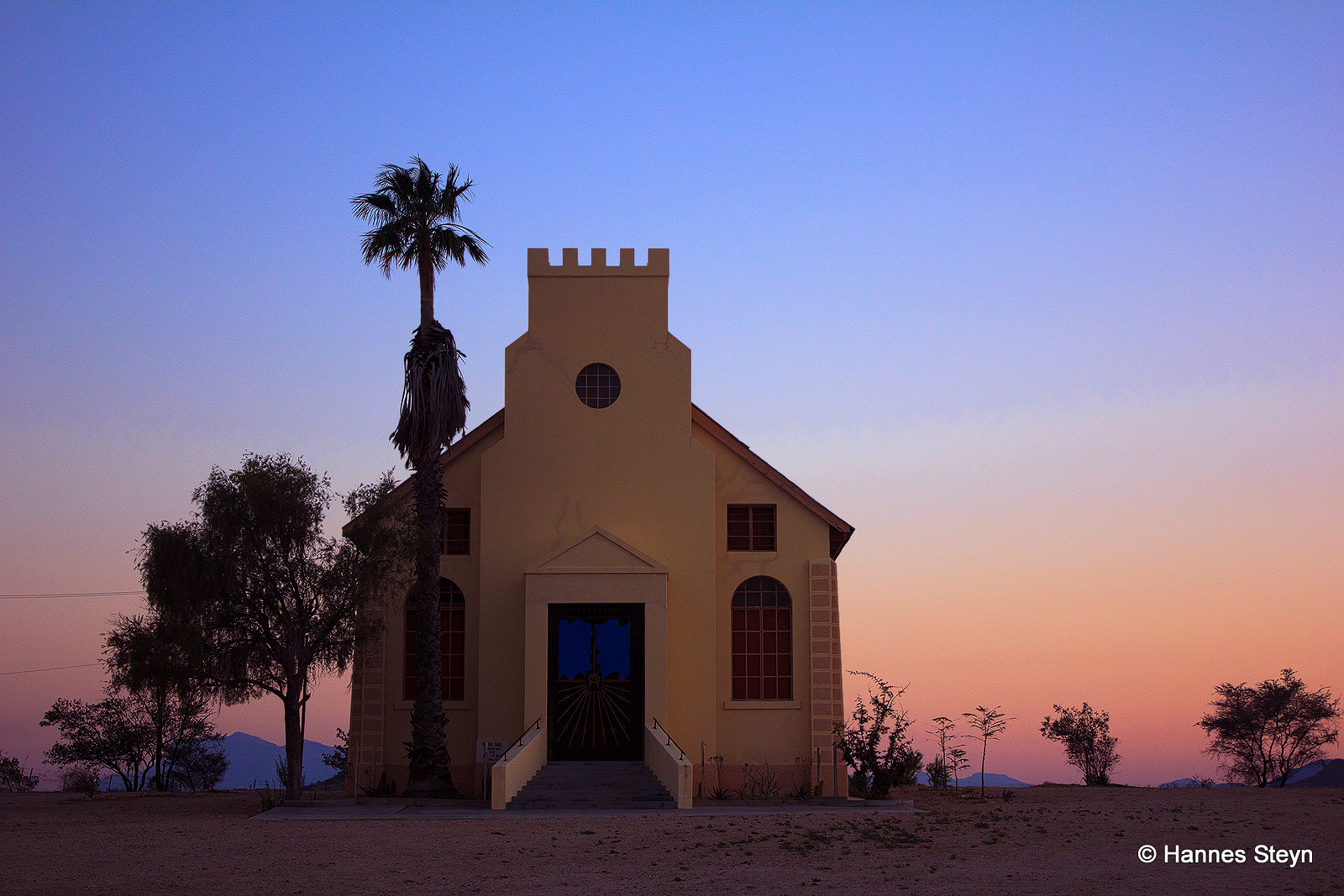
Usakos Church

Rail Traffic
Topographic Map of Usakos, Namibia
Find elevation by address:

Places near Usakos, Namibia:
Recent Searches:
- Elevation of Corso Fratelli Cairoli, 35, Macerata MC, Italy
- Elevation of Tallevast Rd, Sarasota, FL, USA
- Elevation of 4th St E, Sonoma, CA, USA
- Elevation of Black Hollow Rd, Pennsdale, PA, USA
- Elevation of Oakland Ave, Williamsport, PA, USA
- Elevation of Pedrógão Grande, Portugal
- Elevation of Klee Dr, Martinsburg, WV, USA
- Elevation of Via Roma, Pieranica CR, Italy
- Elevation of Tavkvetili Mountain, Georgia
- Elevation of Hartfords Bluff Cir, Mt Pleasant, SC, USA