Elevation of Omaruru, Namibia
Location: Namibia > Erongo Region >
Longitude: 15.9523622
Latitude: -21.420668
Elevation: 1217m / 3993feet
Barometric Pressure: 88KPa
Elevation Map:
Satellite Map:
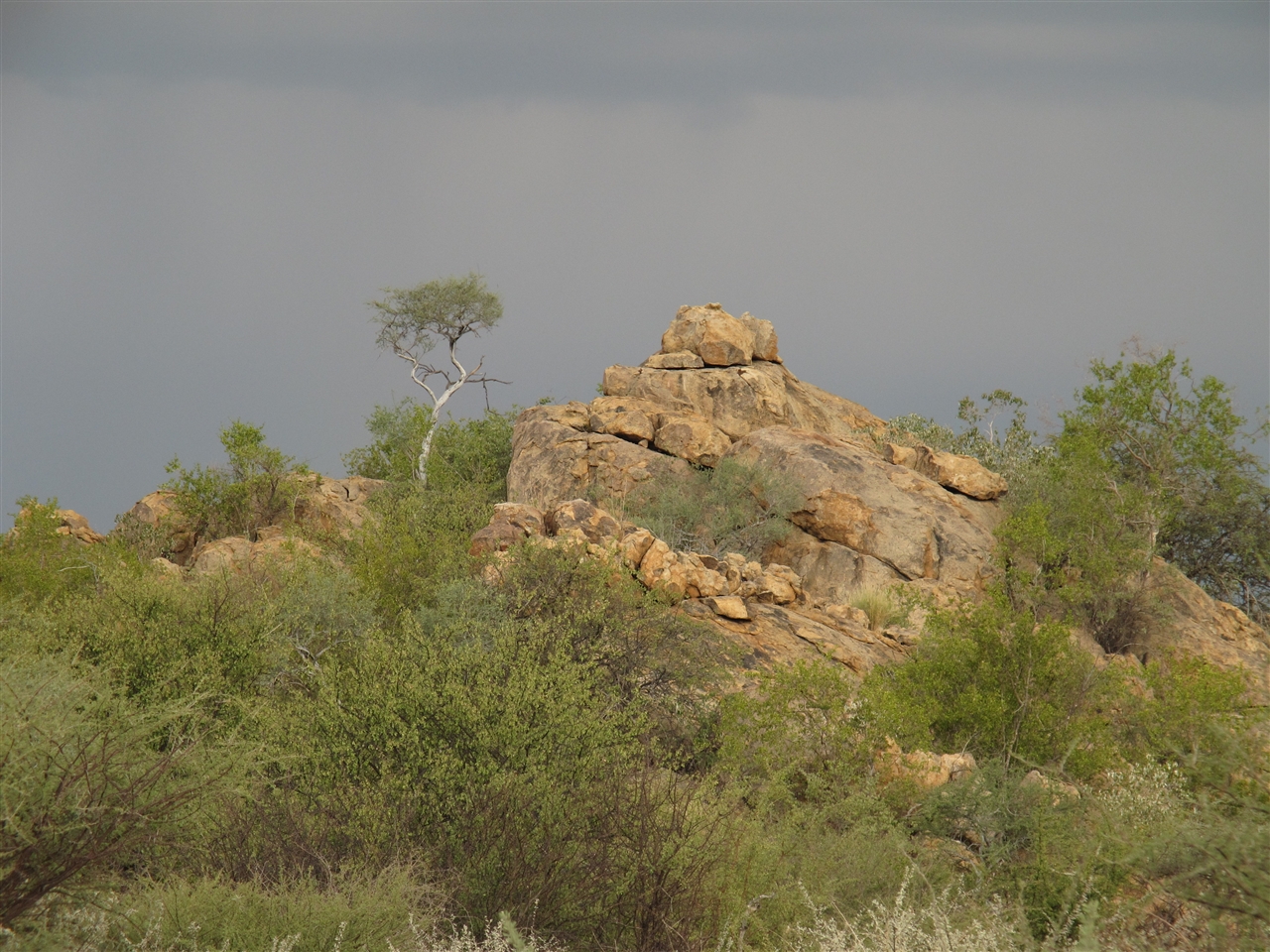
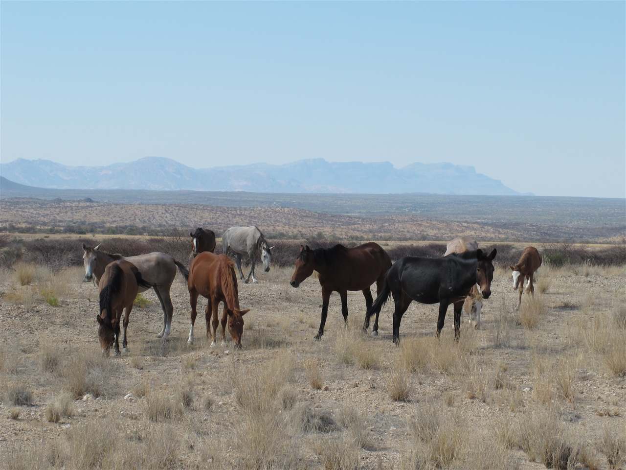
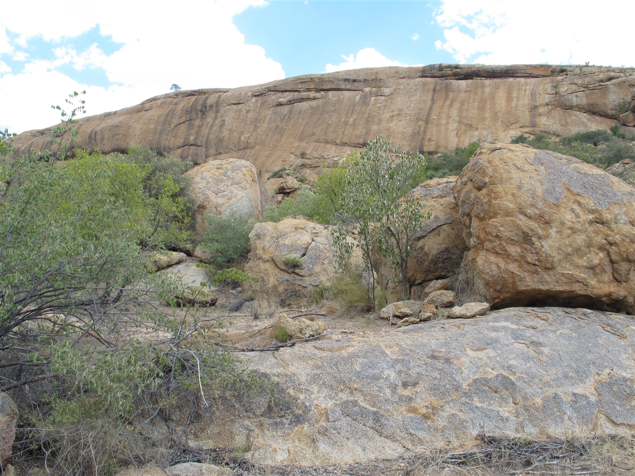
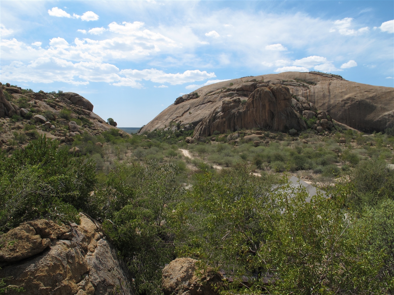
Related Photos:

Osterhasi? Easter Bunny? No, it's a Dassie! - Happy Easter!

Erongo Wilderness Lodge
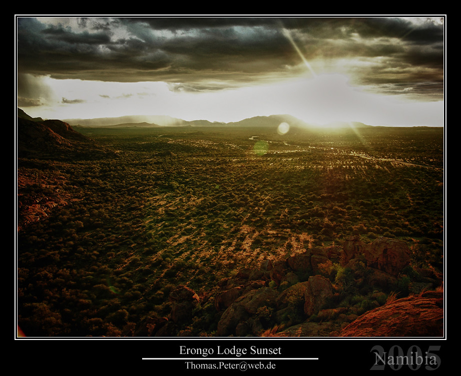
Erongo Lodge Sunset

1509 Namibia_Panorama5s

IMG_7600.JPG

Lizard, Erongo Lodge

IMG_7541.JPG
IMG_7595.JPG

IMG_7601.JPG

IMG_7486.JPG

IMG_7613.JPG
IMG_7612.JPG
IMG_7564.JPG

IMG_7540.JPG
IMG_7485.JPG
Topographic Map of Omaruru, Namibia
Find elevation by address:

Places near Omaruru, Namibia:
Recent Searches:
- Elevation of Corso Fratelli Cairoli, 35, Macerata MC, Italy
- Elevation of Tallevast Rd, Sarasota, FL, USA
- Elevation of 4th St E, Sonoma, CA, USA
- Elevation of Black Hollow Rd, Pennsdale, PA, USA
- Elevation of Oakland Ave, Williamsport, PA, USA
- Elevation of Pedrógão Grande, Portugal
- Elevation of Klee Dr, Martinsburg, WV, USA
- Elevation of Via Roma, Pieranica CR, Italy
- Elevation of Tavkvetili Mountain, Georgia
- Elevation of Hartfords Bluff Cir, Mt Pleasant, SC, USA