Elevation of US-, Union Grove, AL, USA
Location: United States > Alabama > Marshall County > Union Grove >
Longitude: -86.528859
Latitude: 34.413824
Elevation: 304m / 997feet
Barometric Pressure: 0KPa
Related Photos:

Driving through the countryside - m4459

Good morning view..

There once was a popular song entitled, "Dead Skunk in the Middle of the Road." This is a dead armadillo. - M910 vi231
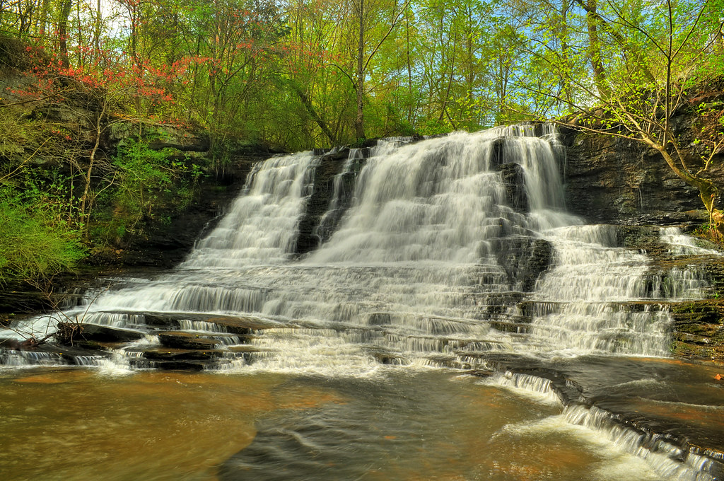
Neighbors Mill
Over The Rocks And Through The Woods

Union Grove Pano
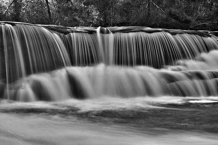
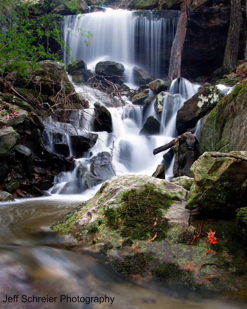
Lower Neighbors Mill Falls
Cold Chill at Neighbors Mill
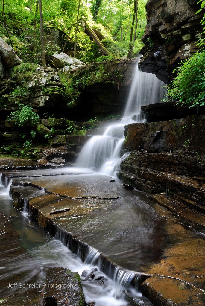
Thompson Falls

Thompson Falls
Thompson Falls
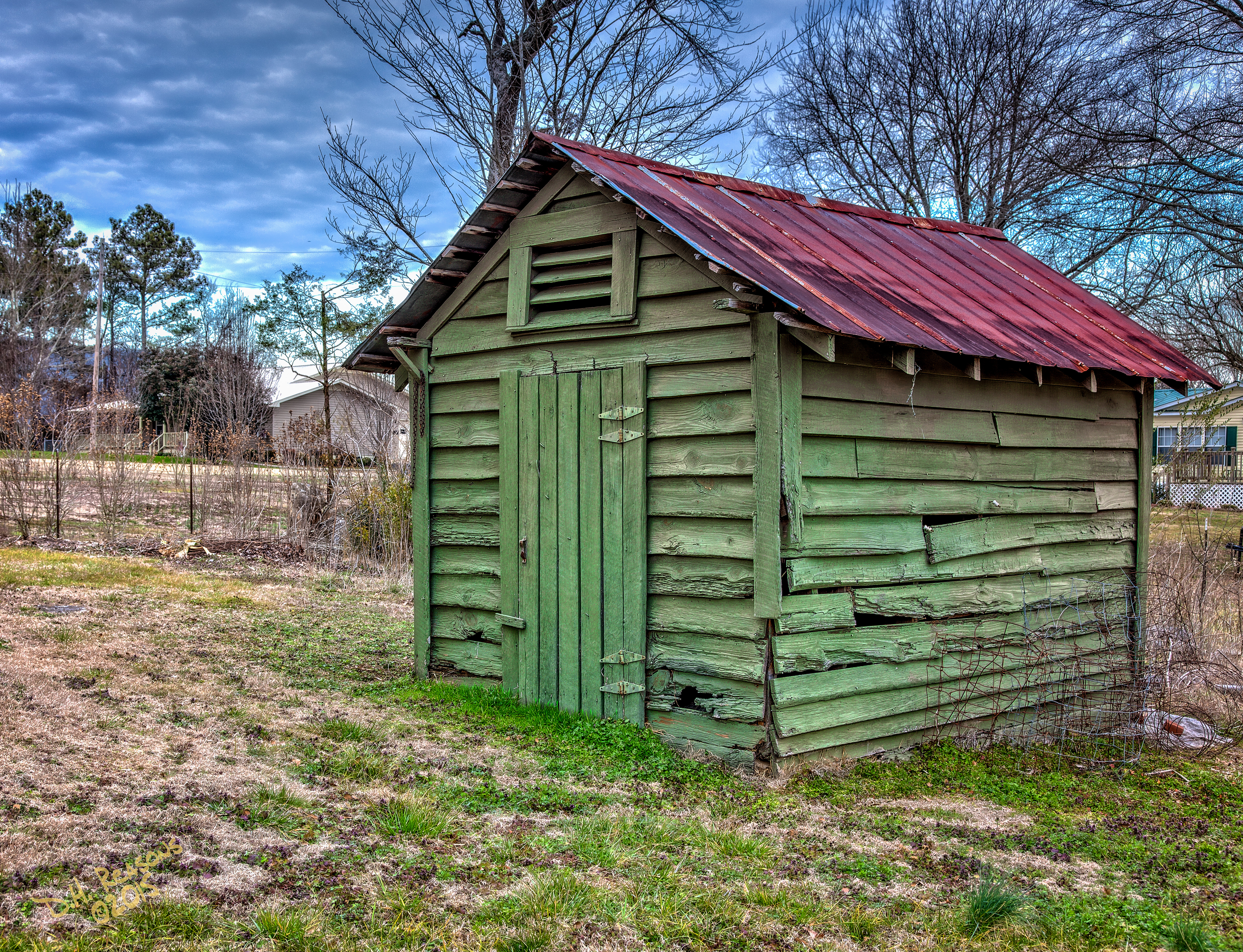
The Green Shed
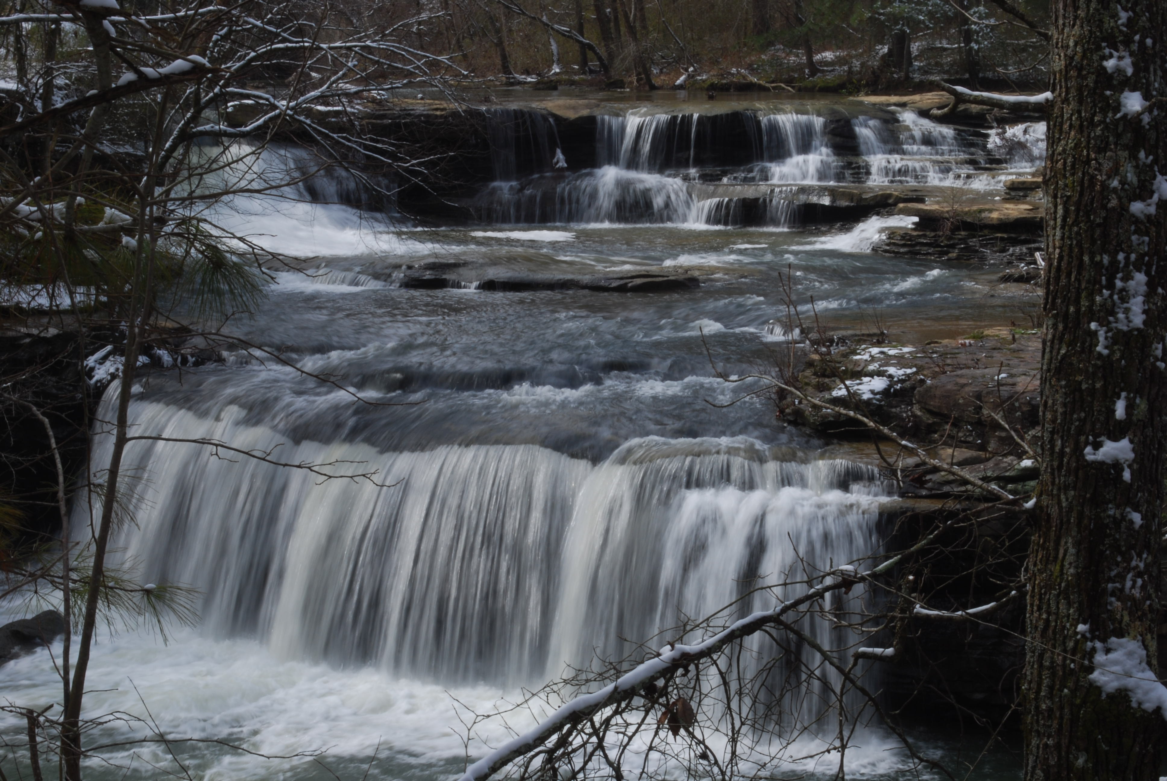
Shoal Creek

The Pasture
CRW_9180-H
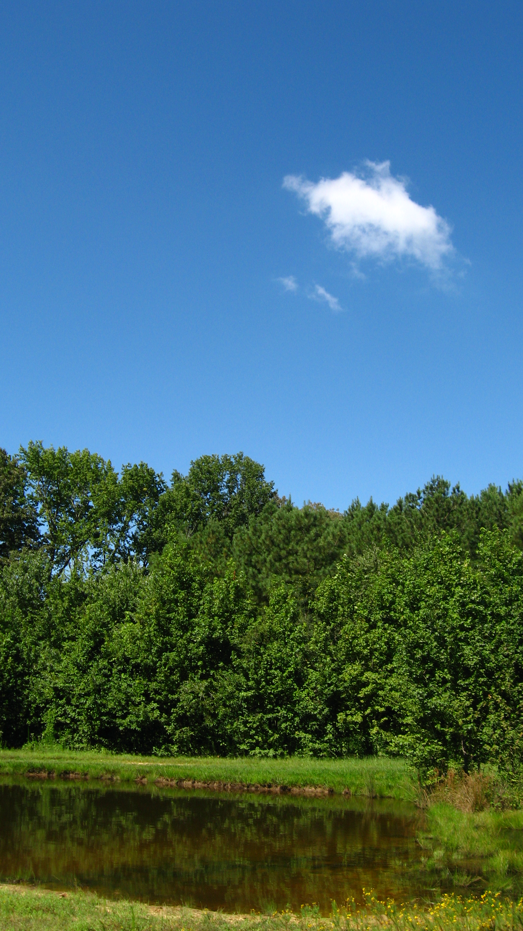
Blue Skies

Morning Time
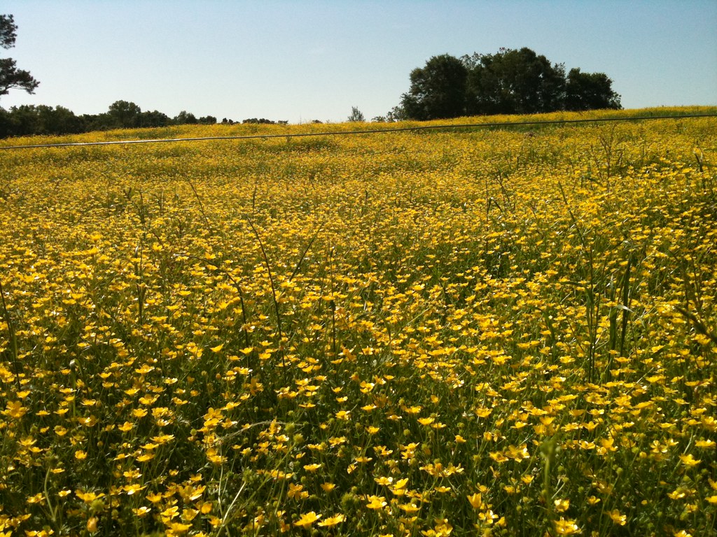
Pretty Pastureland - M910 hi237
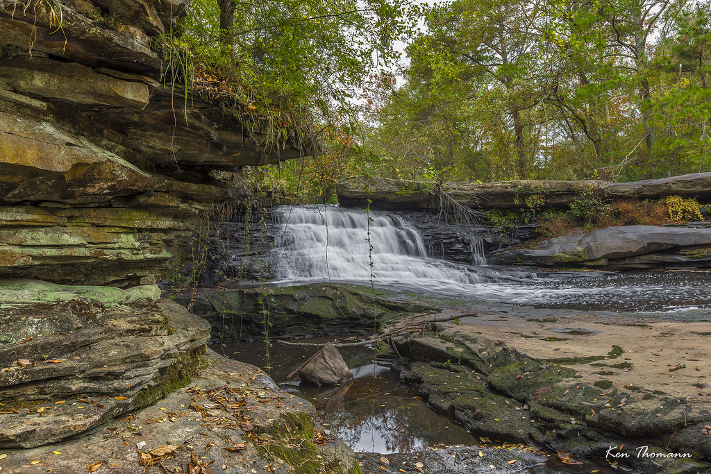
Upper Neighbors Mill Falls
Twin Falls

Shoal Creek Falls
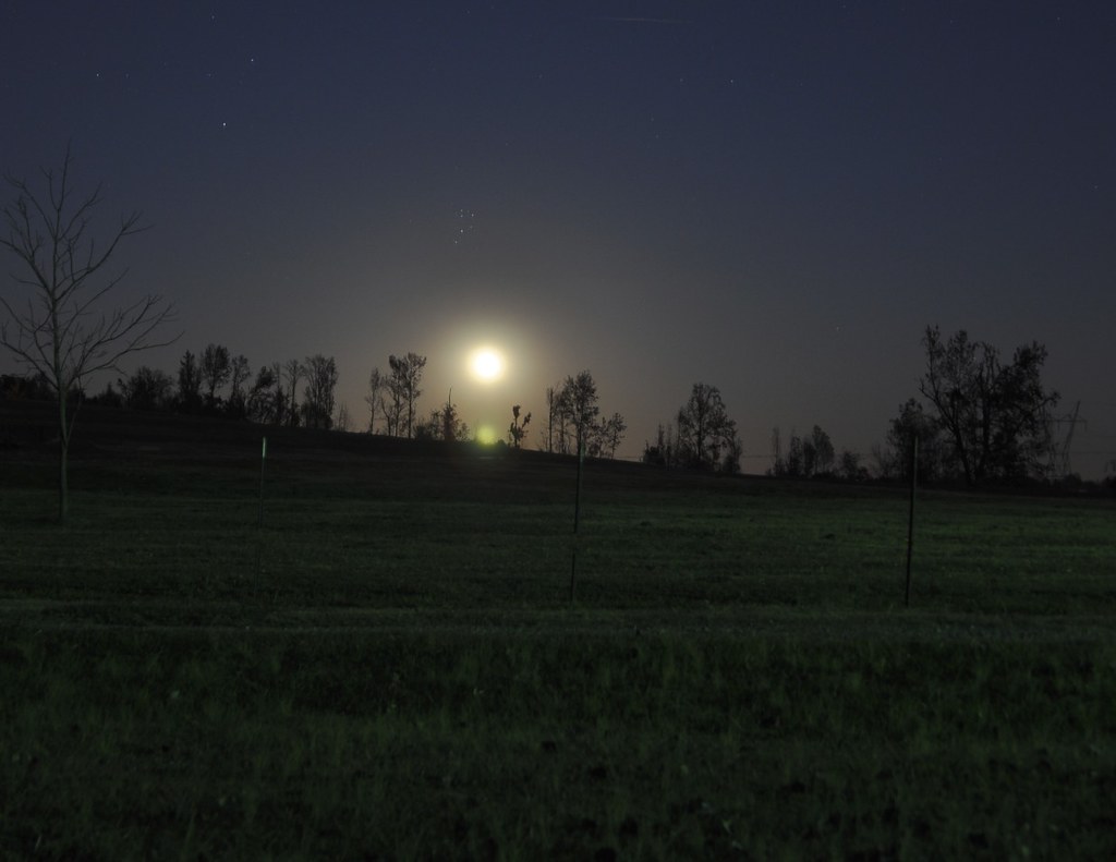
Moon Rise

I love grottos! This one is at 34.416988,-86.593728

Just a few shots from the Tennessee River from Guntersville to Florence, Alabama.
Topographic Map of US-, Union Grove, AL, USA
Find elevation by address:

Places near US-, Union Grove, AL, USA:
677 Mountain View Rd
Mountain View Road
Pinnacle Point
Pleasant Valley Baptist Church
3890 Cranford Rd
Gilliam Springs Rd NW, Arab, AL, USA
Arab, AL, USA
291 Valley Cruise Ln
Lake View Ln NW, Arab, AL, USA
1058 Grace Rd Nw
627 10th St Nw
815 4th St Ne
Skidmore Dr NW, Arab, AL, USA
Cullman Rd, Arab, AL, USA
19 Stoddard Dr Sw
419 2nd St Ne
Arab
350 11th St Sw
Double S Mountain, Joppa, AL, USA
Joppa
Recent Searches:
- Elevation of Dharamkot Tahsil, Punjab, India
- Elevation of Bhinder Khurd, Dharamkot Tahsil, Punjab, India
- Elevation of 2881, Chabot Drive, San Bruno, San Mateo County, California, 94066, USA
- Elevation of 10370, West 107th Circle, Westminster, Jefferson County, Colorado, 80021, USA
- Elevation of 611, Roman Road, Old Ford, Bow, London, England, E3 2RW, United Kingdom
- Elevation of 116, Beartown Road, Underhill, Chittenden County, Vermont, 05489, USA
- Elevation of Window Rock, Colfax County, New Mexico, 87714, USA
- Elevation of 4807, Rosecroft Street, Kempsville Gardens, Virginia Beach, Virginia, 23464, USA
- Elevation map of Matawinie, Quebec, Canada
- Elevation of Sainte-Émélie-de-l'Énergie, Matawinie, Quebec, Canada
- Elevation of Rue du Pont, Sainte-Émélie-de-l'Énergie, Matawinie, Quebec, J0K2K0, Canada
- Elevation of 8, Rue de Bécancour, Blainville, Thérèse-De Blainville, Quebec, J7B1N2, Canada
- Elevation of Wilmot Court North, 163, University Avenue West, Northdale, Waterloo, Region of Waterloo, Ontario, N2L6B6, Canada
- Elevation map of Panamá Province, Panama
- Elevation of Balboa, Panamá Province, Panama
- Elevation of San Miguel, Balboa, Panamá Province, Panama
- Elevation of Isla Gibraleón, San Miguel, Balboa, Panamá Province, Panama
- Elevation of 4655, Krischke Road, Schulenburg, Fayette County, Texas, 78956, USA
- Elevation of Carnegie Avenue, Downtown Cleveland, Cleveland, Cuyahoga County, Ohio, 44115, USA
- Elevation of Walhonding, Coshocton County, Ohio, USA