Elevation of US-, Ramer, AL, USA
Location: United States > Alabama > Montgomery County > Ramer >
Longitude: -86.277078
Latitude: 32.104688
Elevation: 104m / 341feet
Barometric Pressure: 100KPa
Elevation Map:
Satellite Map:
Related Photos:

P1010432.jpg

P1010433.jpg

P1010431.jpg
P1010430.jpg

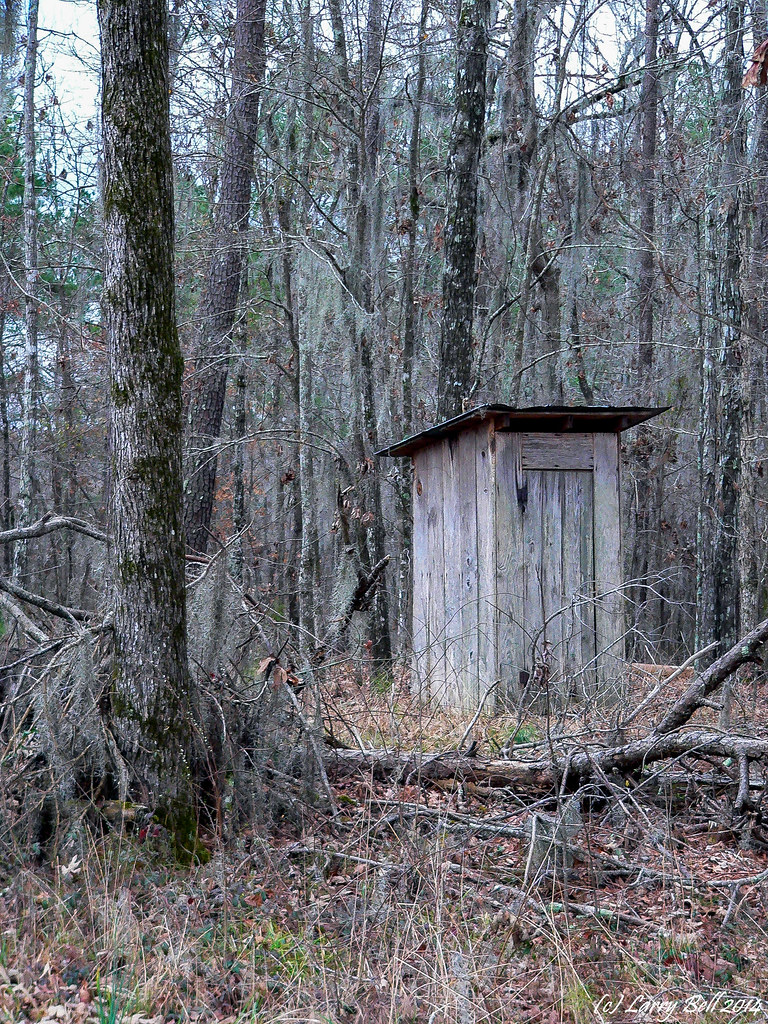
Old Federal Road

Old Federal Road

Old Federal Road
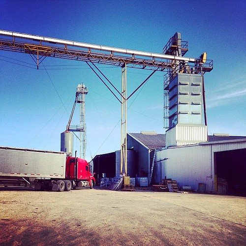
#caseyfeedmill #farmlife

Rep Martha Roby
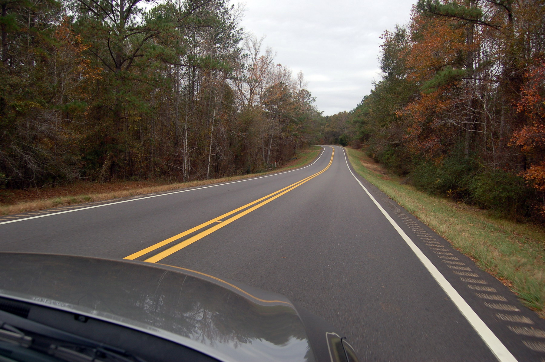
Alabama road
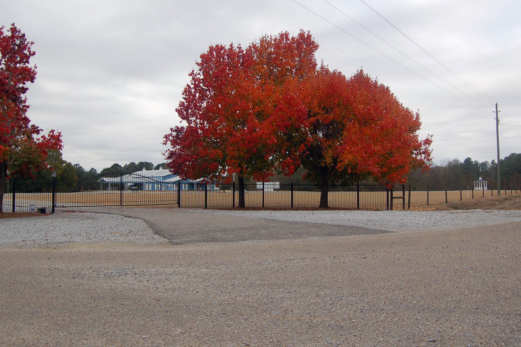
Red tree

IMAG0504-1

Jayne Cobb hat1
Topographic Map of US-, Ramer, AL, USA
Find elevation by address:

Places near US-, Ramer, AL, USA:
W Hickory Grove Rd, Lapine, AL, USA
East Old Hayneville Road
Ramer
5290 Hobbie Rd
Naftel Rd, Lapine, AL, USA
Hobbie Rd, Montgomery, AL, USA
E Pleasant Grove Rd, Montgomery, AL, USA
Mt Zion Rd, Ramer, AL, USA
Bottlerock Road
Long Rd, Ramer, AL, USA
Grady
W Hickory Grove Rd, Letohatchee, AL, USA
Meriwether Trail, Grady, AL, USA
18 Dublin Ln, Ramer, AL, USA
Lapine
Norman Bridge Rd, Montgomery, AL, USA
Montgomery County
Montgomery Hwy, Lapine, AL, USA
Highland Home
Meriwether Trail, Grady, AL, USA
Recent Searches:
- Elevation of Corso Fratelli Cairoli, 35, Macerata MC, Italy
- Elevation of Tallevast Rd, Sarasota, FL, USA
- Elevation of 4th St E, Sonoma, CA, USA
- Elevation of Black Hollow Rd, Pennsdale, PA, USA
- Elevation of Oakland Ave, Williamsport, PA, USA
- Elevation of Pedrógão Grande, Portugal
- Elevation of Klee Dr, Martinsburg, WV, USA
- Elevation of Via Roma, Pieranica CR, Italy
- Elevation of Tavkvetili Mountain, Georgia
- Elevation of Hartfords Bluff Cir, Mt Pleasant, SC, USA