Elevation of Mt Zion Rd, Ramer, AL, USA
Location: United States > Alabama > Montgomery County > Ramer >
Longitude: -86.180278
Latitude: 32.138682
Elevation: 97m / 318feet
Barometric Pressure: 100KPa
Elevation Map:
Satellite Map:
Related Photos:

View on the trip back from Birmingham.

Open Field-Sunrays

Open Field

Alabama Countryside

Open Field2

Alabama Countryside

Alabama Countryside

Open Field4

Gun For Hire

Country Porch Living

Picture Window

Sinclair Gasoline

Teasleys of Alabama

Bison / Bisão

Summer Twilight

Summer Evening

Summer Sunset

Wagon Wheel in B&W

Red Rockers

Teasley's Pumps

Old Time Signs

Alabama road
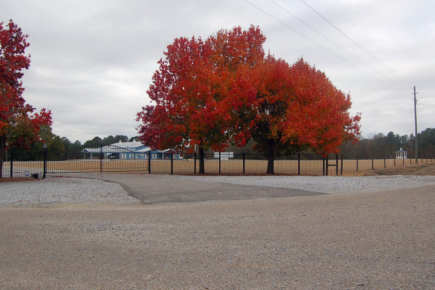
Red tree

Outstanding In Its Field

A pink cow....that is all

Hand Pump
Topographic Map of Mt Zion Rd, Ramer, AL, USA
Find elevation by address:

Places near Mt Zion Rd, Ramer, AL, USA:
East Old Hayneville Road
Montgomery County
Troy Hwy, Mathews, AL, USA
Long Rd, Ramer, AL, USA
5290 Hobbie Rd
Old Carter Hill Rd, Pike Rd, AL, USA
Hobbie Rd, Montgomery, AL, USA
Ramer
Canty Rd, Mathews, AL, USA
US-, Ramer, AL, USA
953 Mizell Dr
18 Dublin Ln, Ramer, AL, USA
Chip Curve, Montgomery, AL, USA
E Pleasant Grove Rd, Montgomery, AL, USA
Meriwether Trail, Grady, AL, USA
Pike Road
455 Oaks Alley
Grady
Old Pike Rd, Mathews, AL, USA
W Hickory Grove Rd, Lapine, AL, USA
Recent Searches:
- Elevation of Corso Fratelli Cairoli, 35, Macerata MC, Italy
- Elevation of Tallevast Rd, Sarasota, FL, USA
- Elevation of 4th St E, Sonoma, CA, USA
- Elevation of Black Hollow Rd, Pennsdale, PA, USA
- Elevation of Oakland Ave, Williamsport, PA, USA
- Elevation of Pedrógão Grande, Portugal
- Elevation of Klee Dr, Martinsburg, WV, USA
- Elevation of Via Roma, Pieranica CR, Italy
- Elevation of Tavkvetili Mountain, Georgia
- Elevation of Hartfords Bluff Cir, Mt Pleasant, SC, USA