Elevation of US-, Inyokern, CA, USA
Location: United States > California > Inyokern >
Longitude: -117.86868
Latitude: 35.7023912
Elevation: 767m / 2516feet
Barometric Pressure: 92KPa
Elevation Map:
Satellite Map:
Related Photos:

eat. pearsonville, ca. 2012.
Cessna 172 (LucisArts)

Sikorsky UH-60 Blackhawk
Cessna 172

Joshua Trees in Snow

Tonemapped Twin Otter
Twin Otter
Almost There
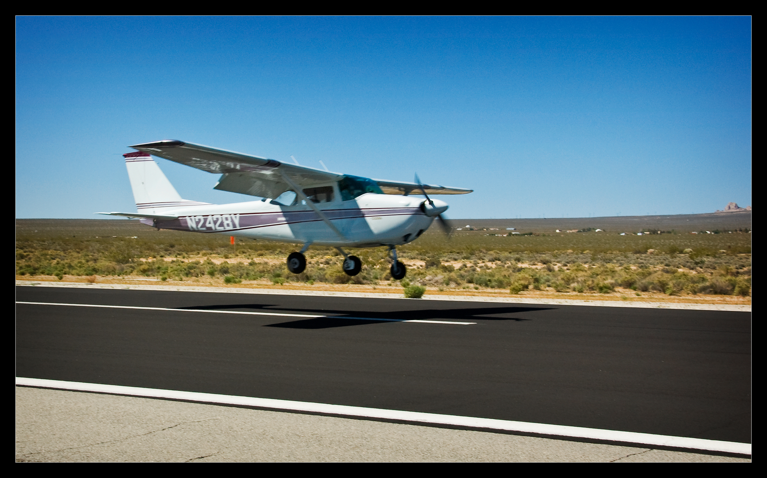
Cessna 172 Landing
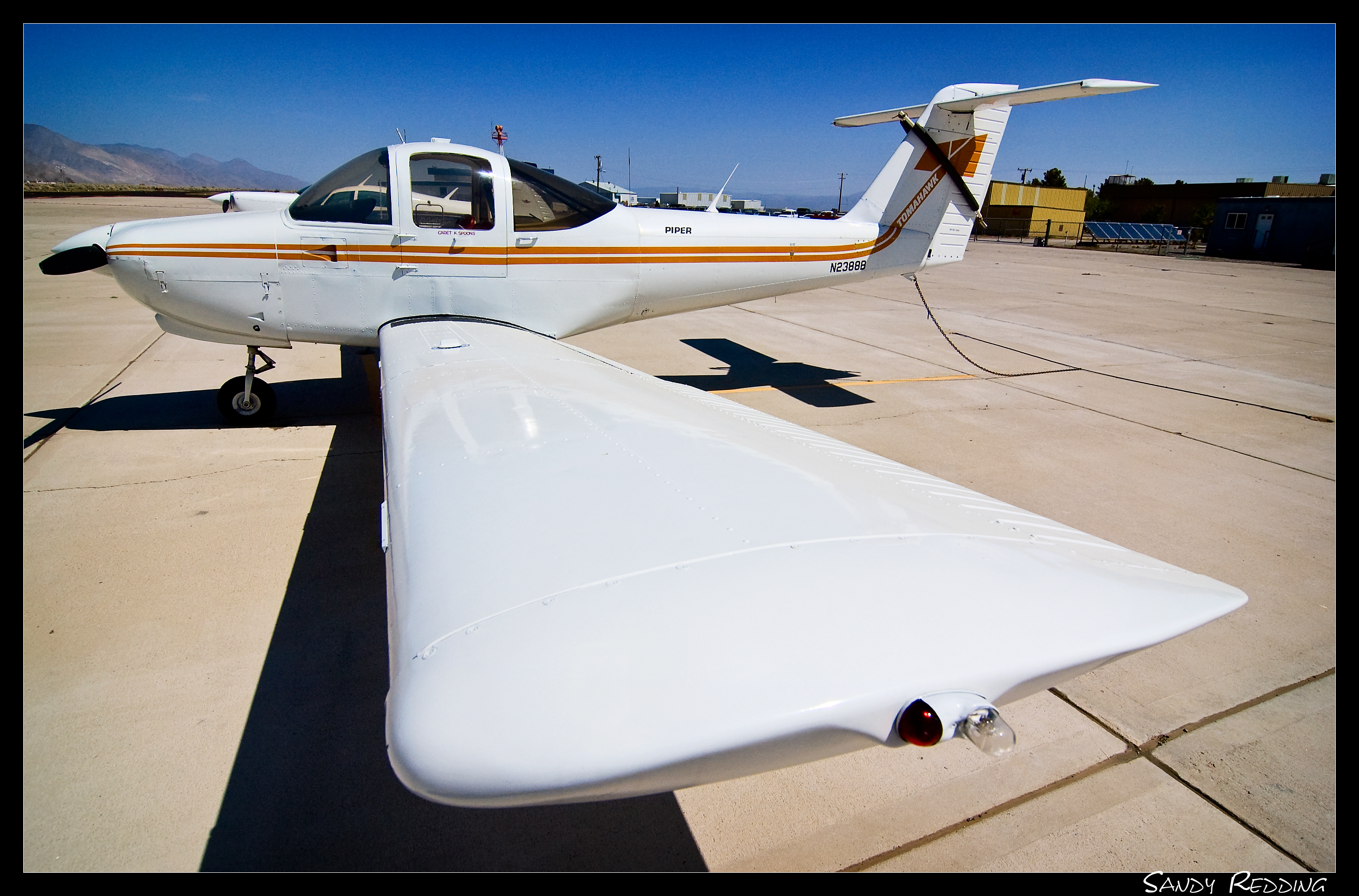
Piper Tomahawk
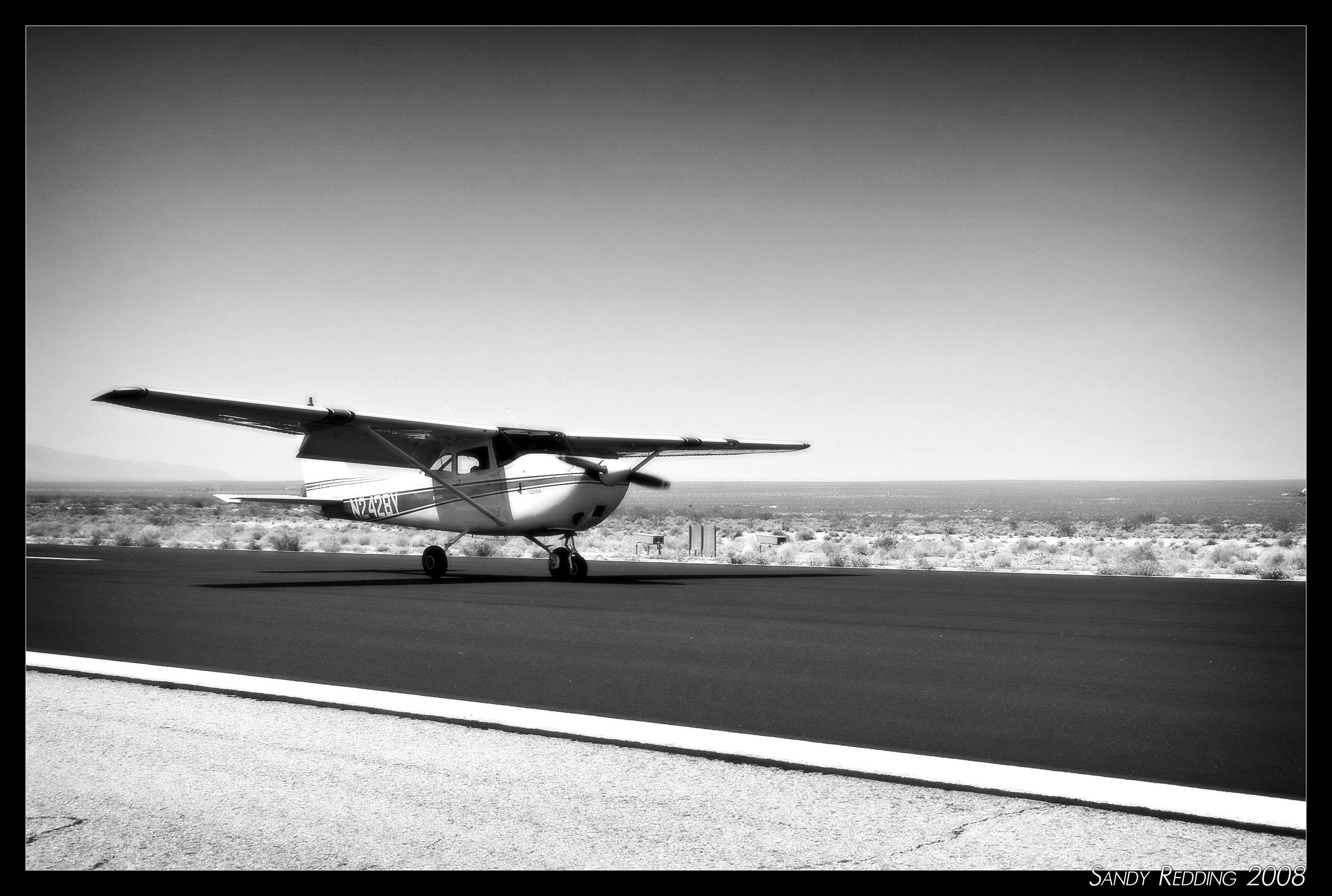
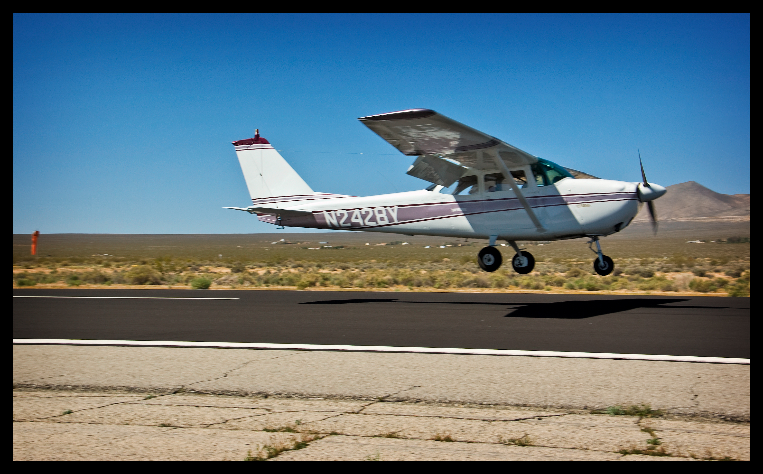
Cessna N2428Y
Cessna 172

Almost there
#view
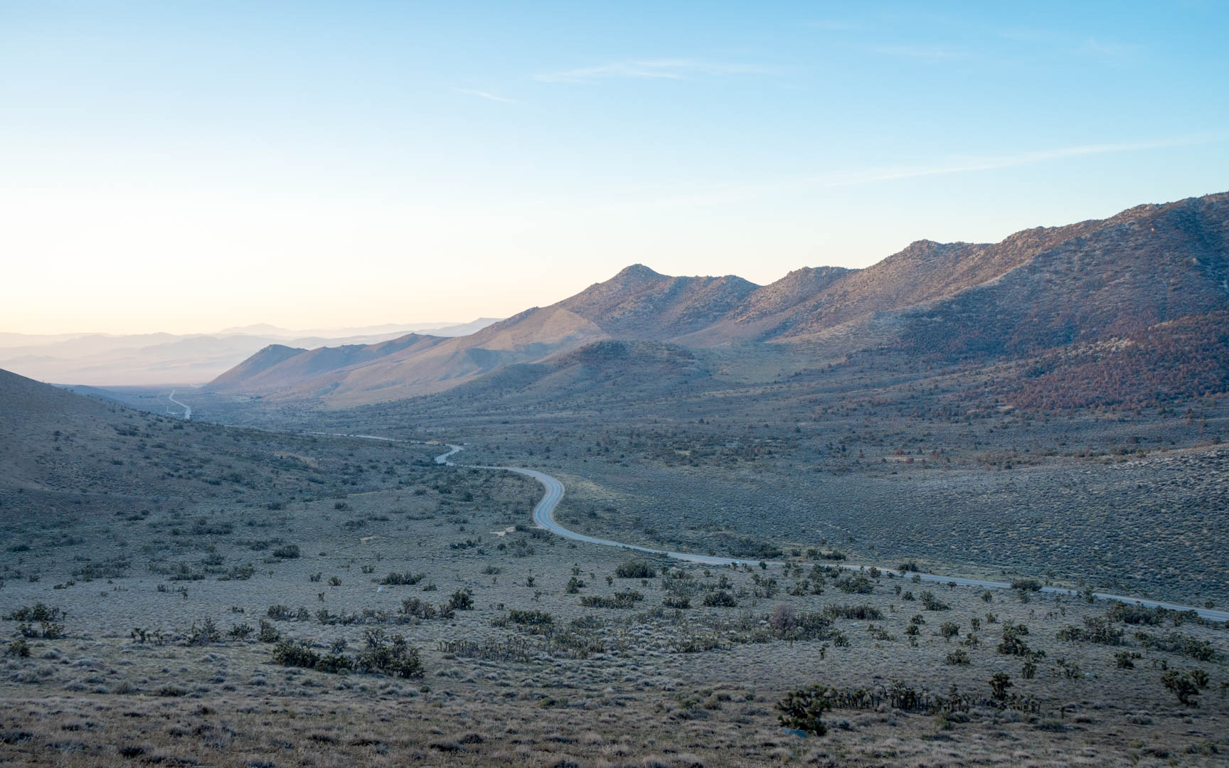
On the SR 178 road
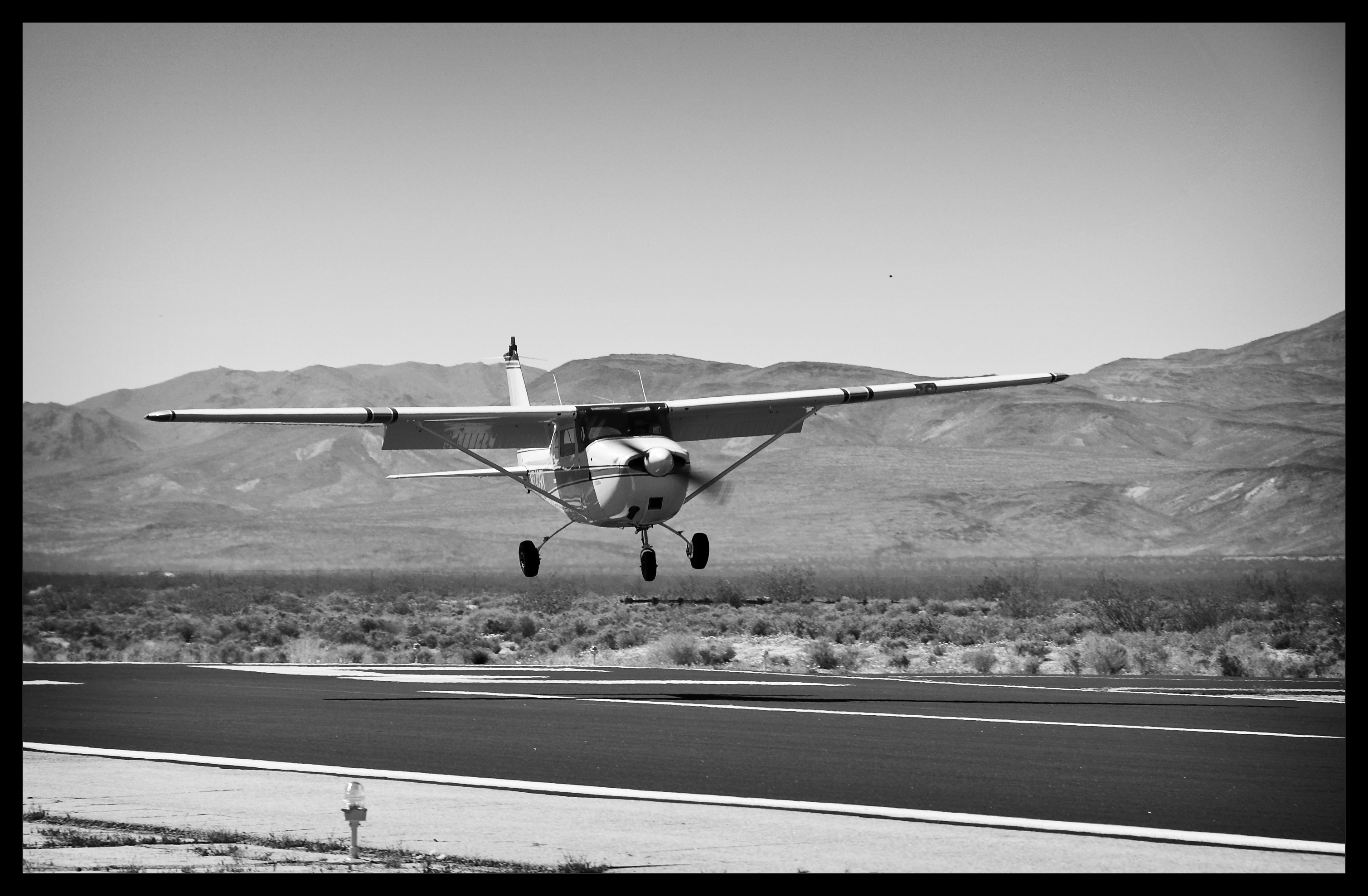
Touching Down

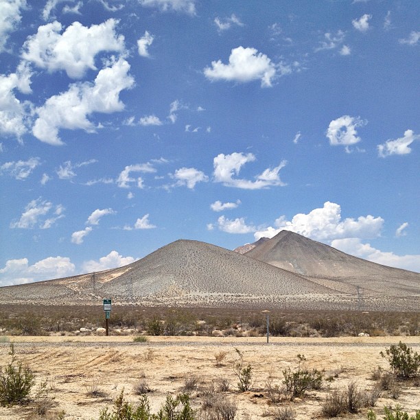
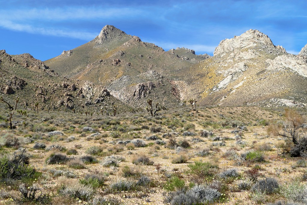
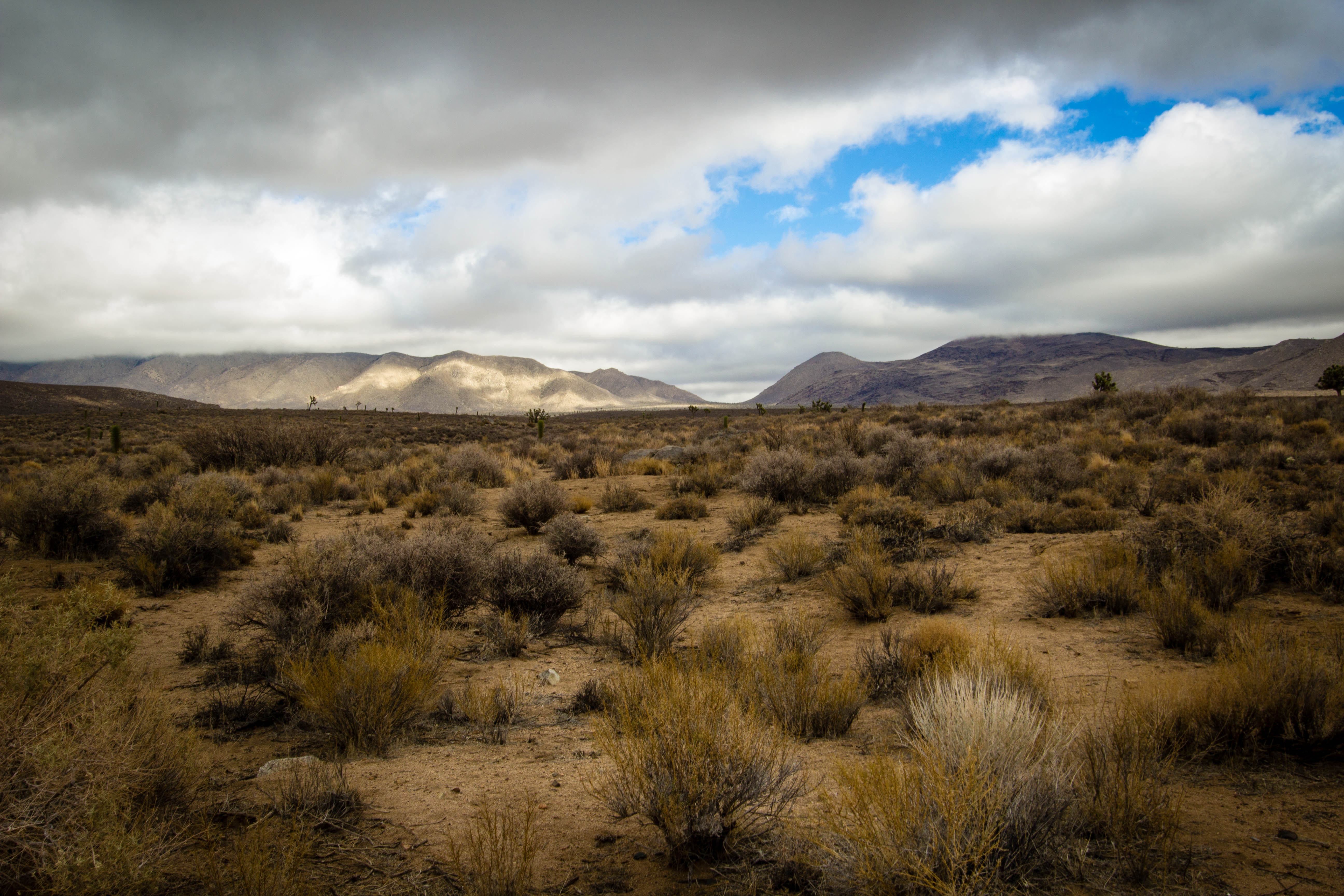
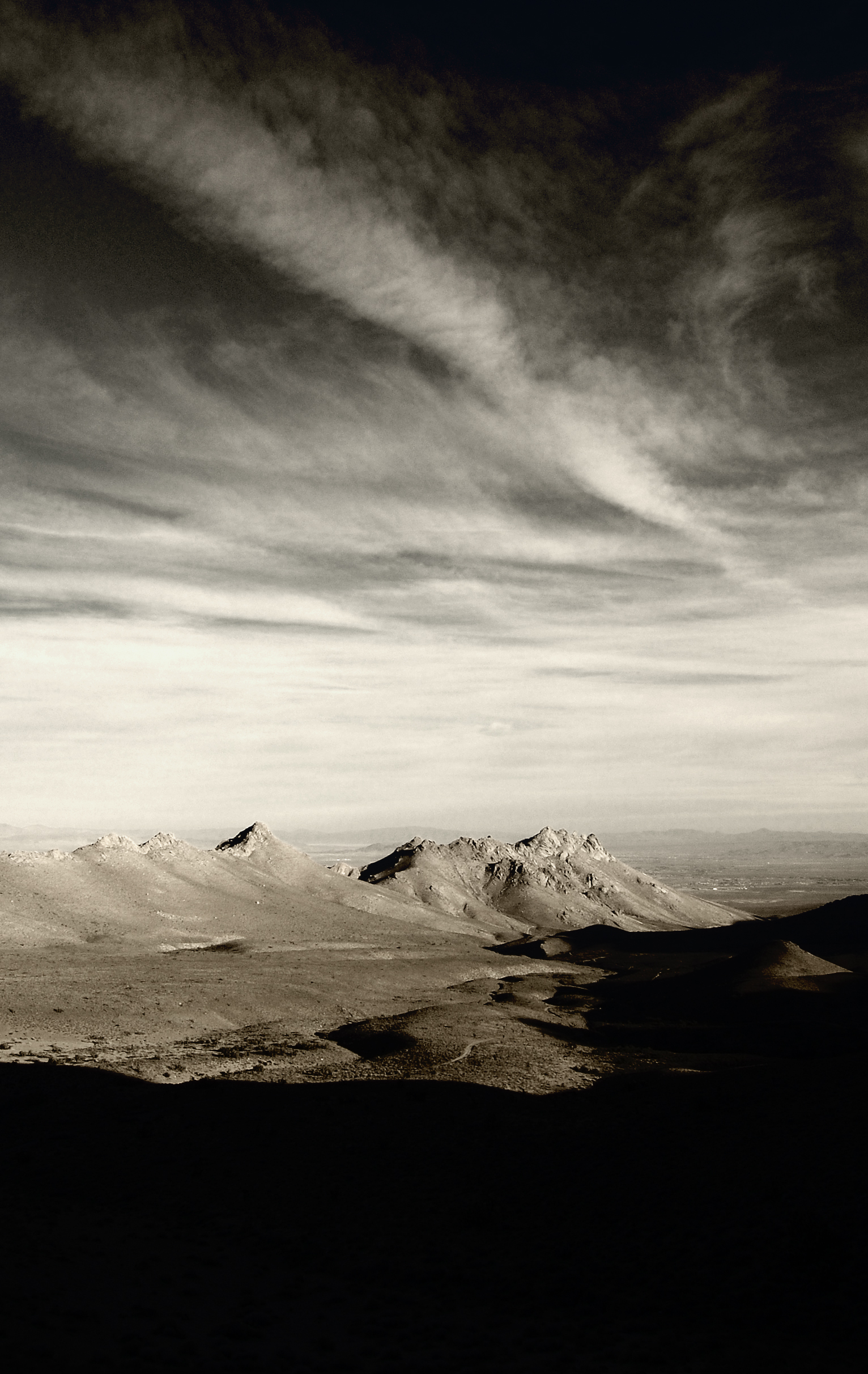
High Desert

prcssd. inyokern, ca. 2012.
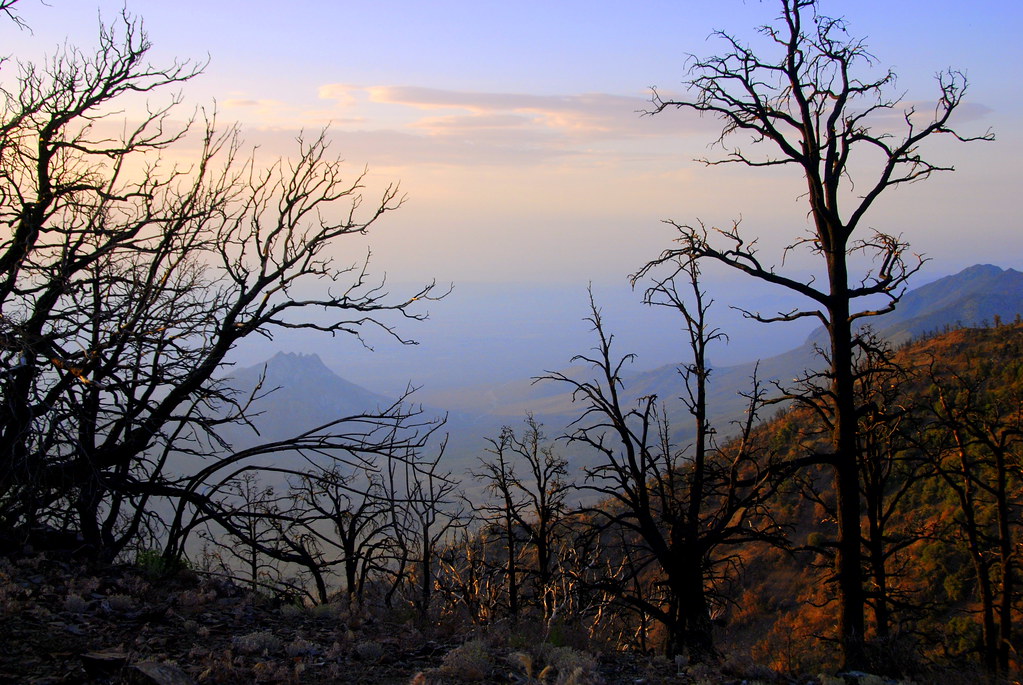
view from bivy, Mt Jenkins, PCT, California
View toward Short Canyon

View from Robbers Roost
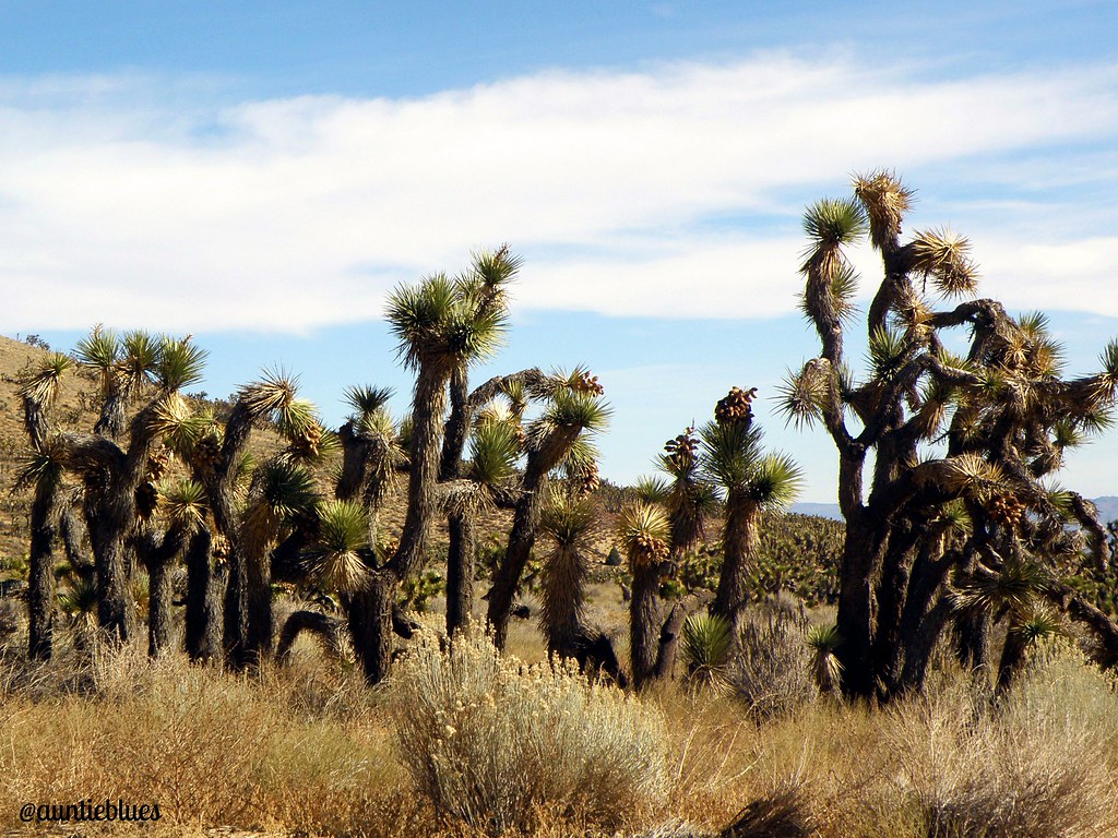
Joshua Tree
The desert! No water just yet for the kayak! #365project
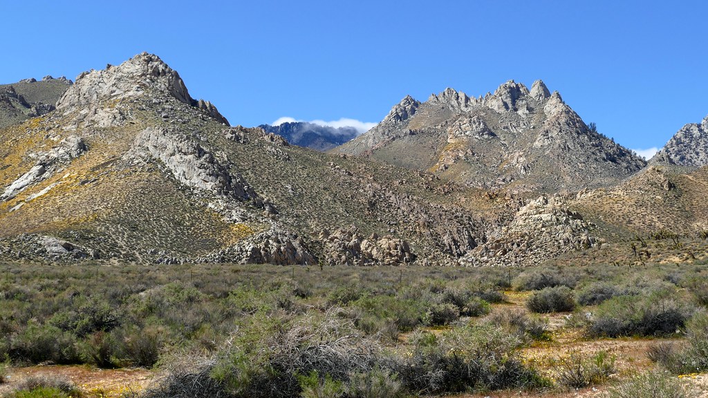
Argus Range, California - on Isabella Walker Pass Road with the Scodie Mountains in the background

Hidden Desert
Walker Pass, m652
Argus Range, California - on Isabella Walker Pass Road with the Scodie Mountains in the background
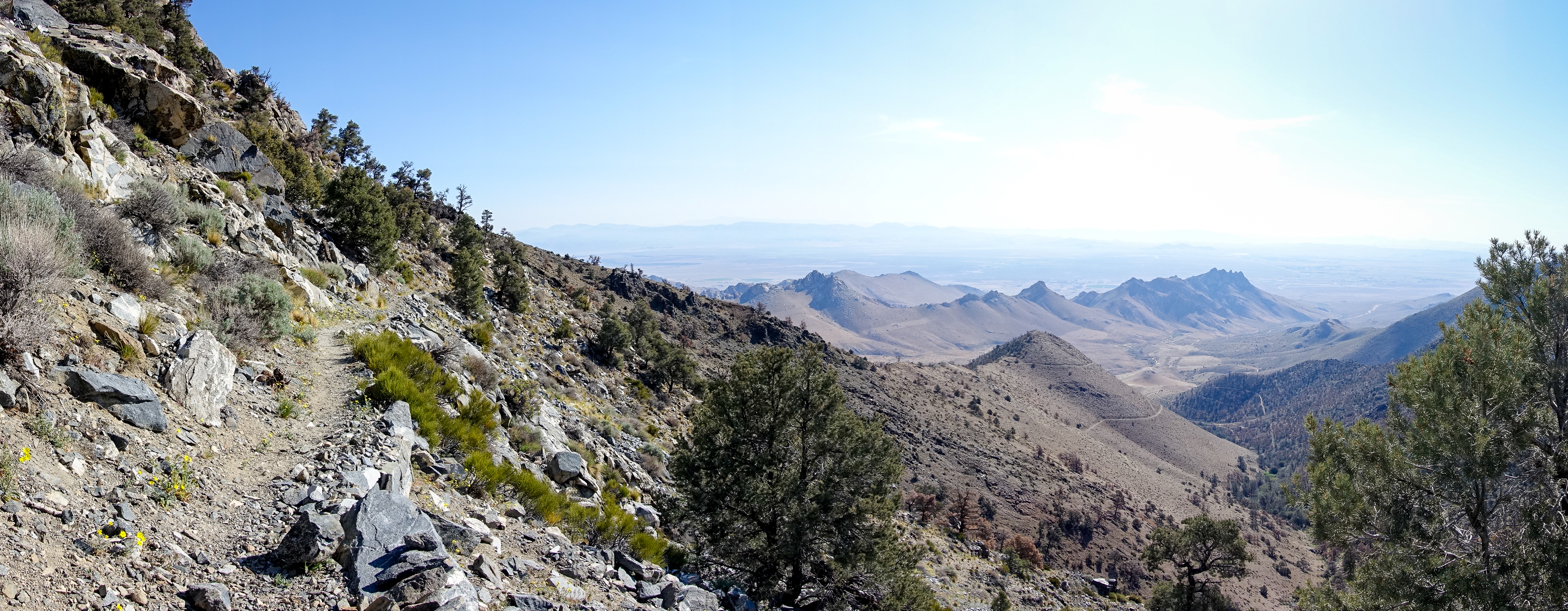
View From the Jenkins/Morris Saddle
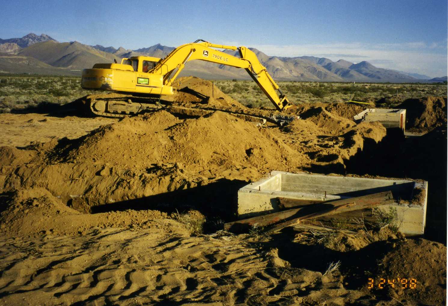
Excavating tanks
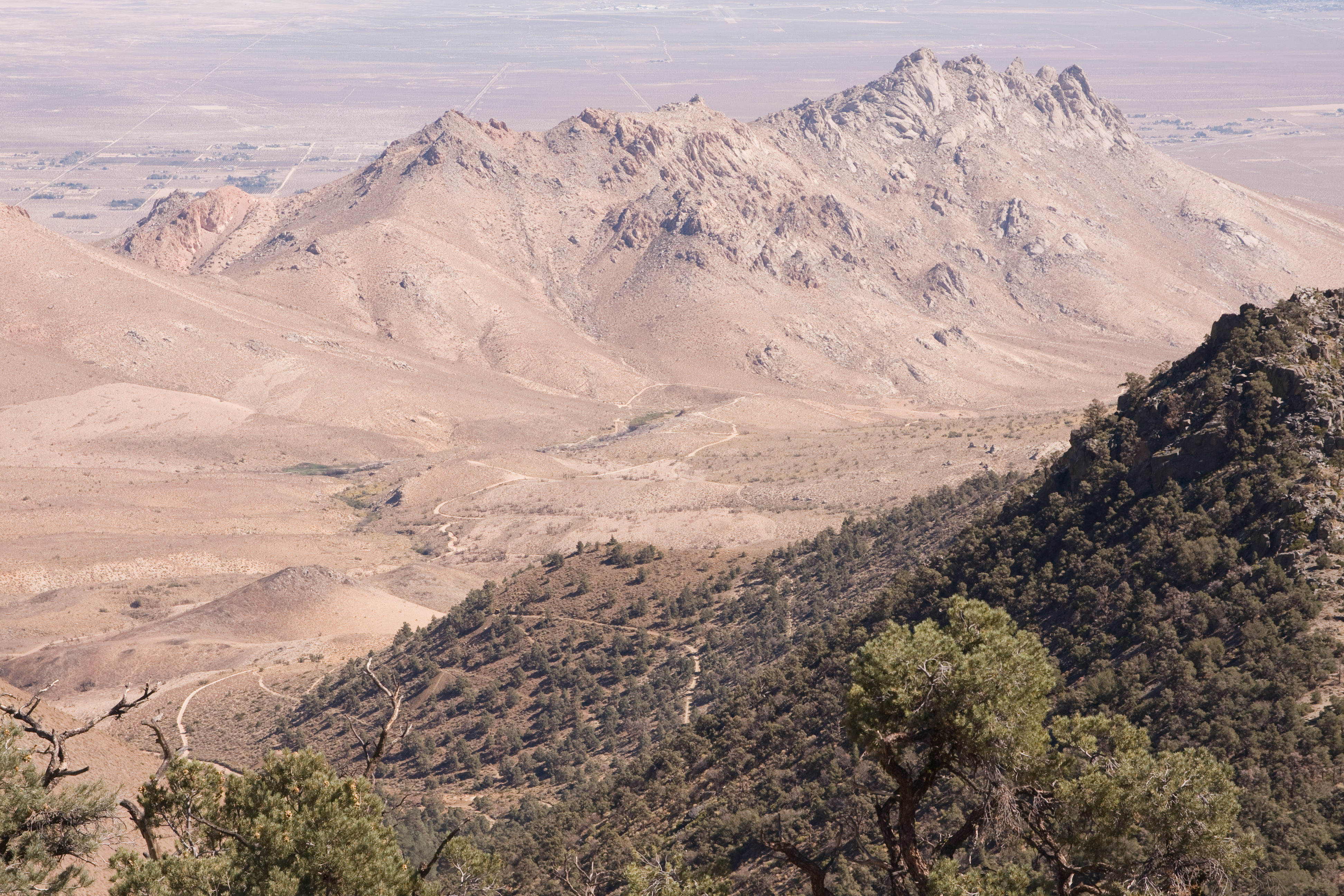
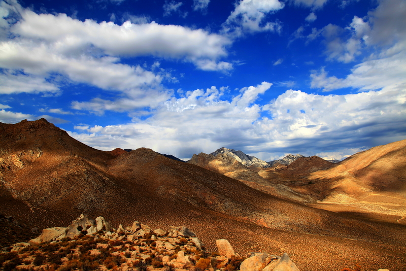
China Lake view, m657

Desert Oasis
Short Canyon

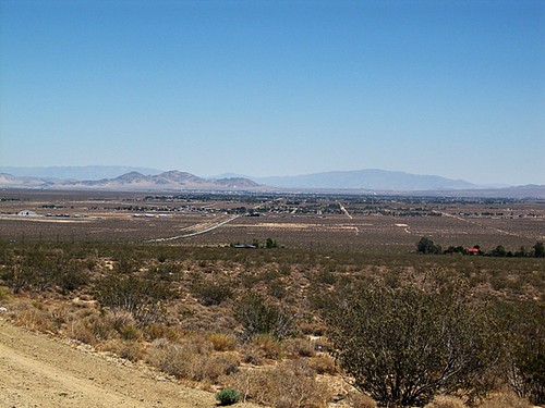
Eastern Slope
Petroglyphs-209.jpg

Mammoth bound
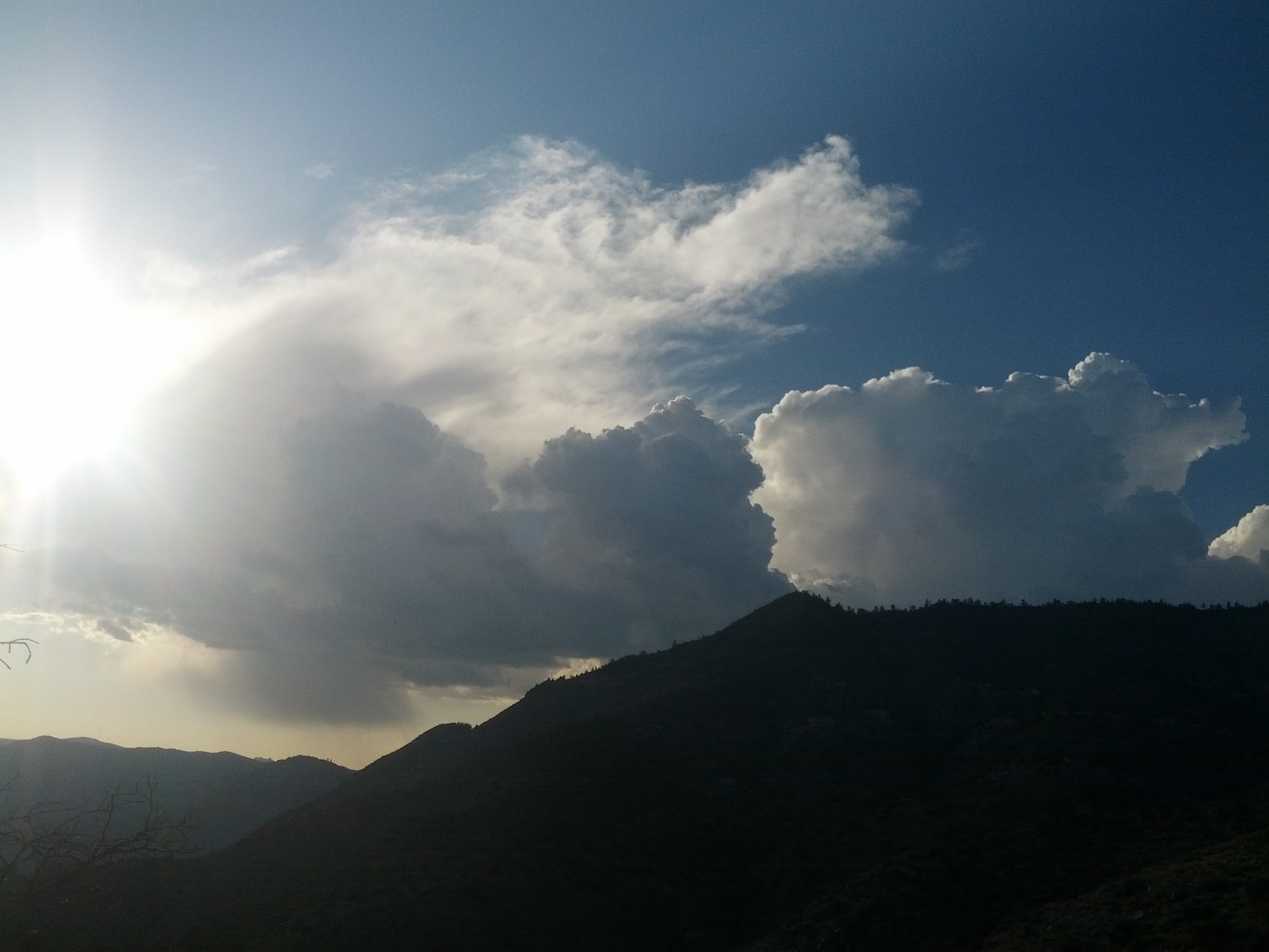
cool clouds as a storm built up

Place to belong
Indian Wells Canyon
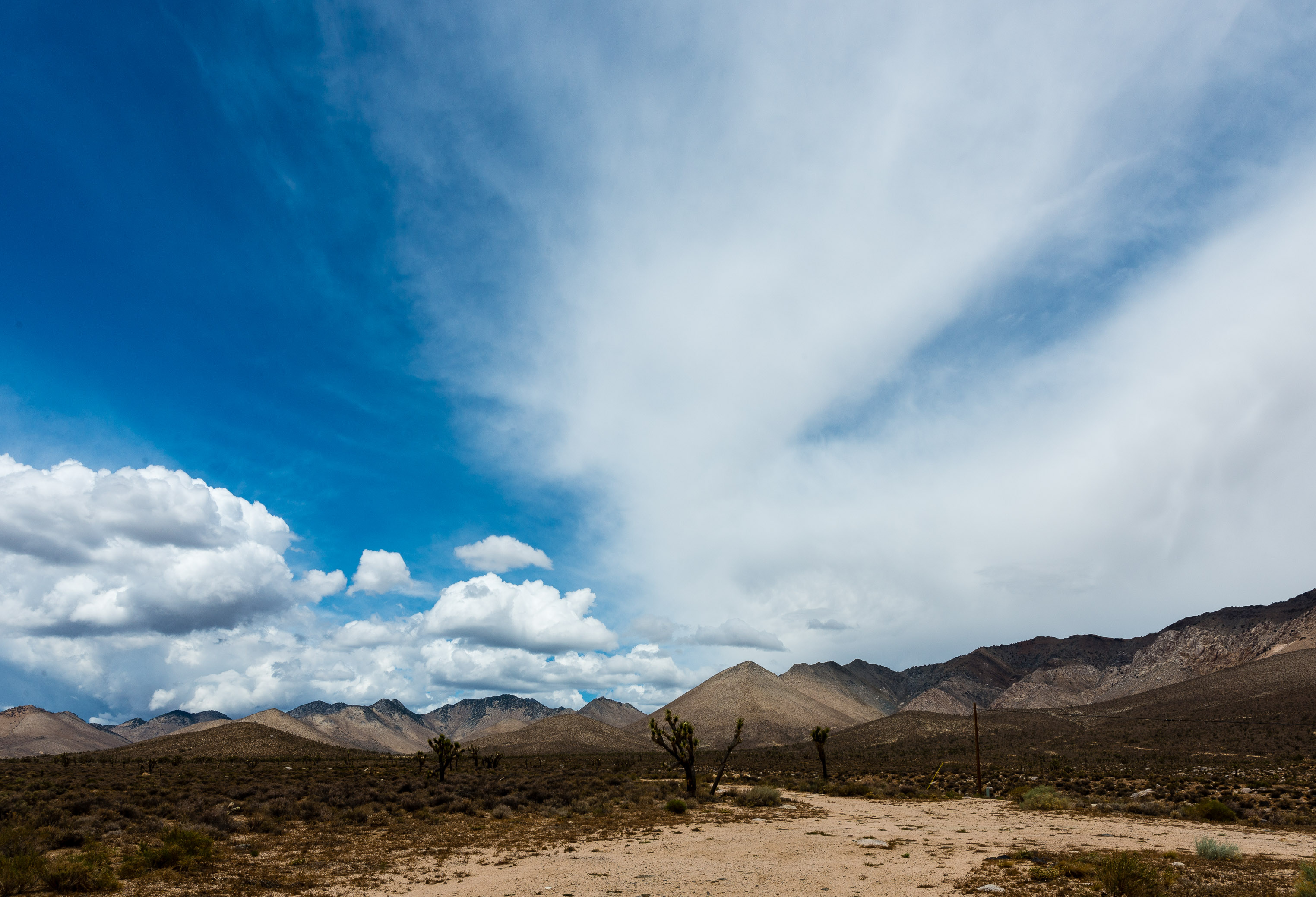
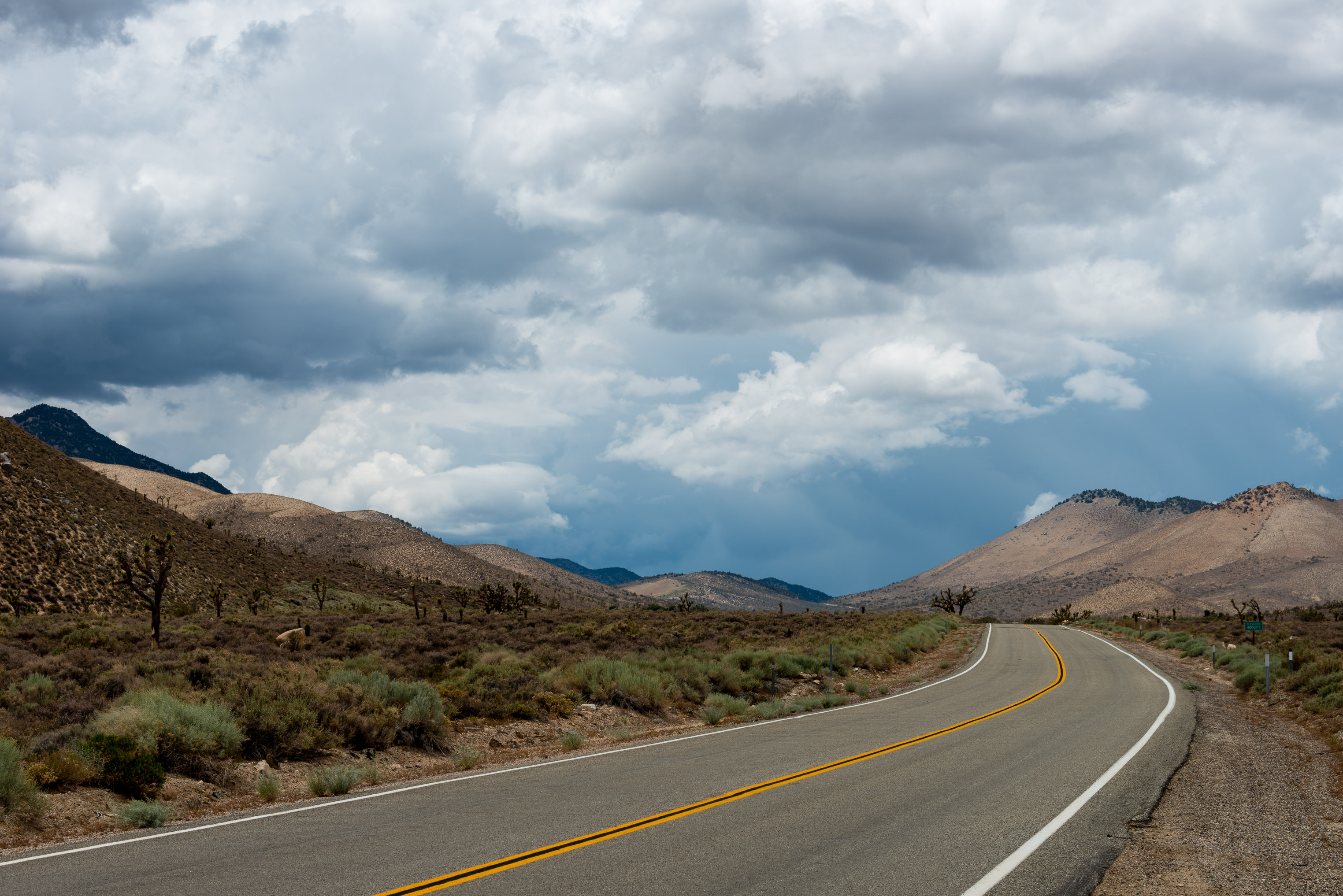
Clouds coming in behind Short Canyon,
Topographic Map of US-, Inyokern, CA, USA
Find elevation by address:

Places near US-, Inyokern, CA, USA:
Inyokern
5809 Ridgecrest Blvd
Sterling Rd, Inyokern, CA, USA
China Lake Acres
Sydnor Ave, Ridgecrest, CA, USA
California 14
CA-14, Inyokern, CA, USA
2199 Coral Ave
2199 Coral Ave
Ridgecrest Heights
West Ridgecrest Boulevard
343 S Margalo St
388 N Norma St
N China Lake Blvd, Ridgecrest, CA, USA
The Home Depot
China Lake
Ridgecrest
359 E Robertson Rd
701 E Church Ave
2113 Camino El Canon
Recent Searches:
- Elevation of Corso Fratelli Cairoli, 35, Macerata MC, Italy
- Elevation of Tallevast Rd, Sarasota, FL, USA
- Elevation of 4th St E, Sonoma, CA, USA
- Elevation of Black Hollow Rd, Pennsdale, PA, USA
- Elevation of Oakland Ave, Williamsport, PA, USA
- Elevation of Pedrógão Grande, Portugal
- Elevation of Klee Dr, Martinsburg, WV, USA
- Elevation of Via Roma, Pieranica CR, Italy
- Elevation of Tavkvetili Mountain, Georgia
- Elevation of Hartfords Bluff Cir, Mt Pleasant, SC, USA