Elevation of US-, Gasquet, CA, USA
Location: United States > California > Del Norte County > Gasquet >
Longitude: -123.762641
Latitude: 41.896734
Elevation: 437m / 1434feet
Barometric Pressure: 0KPa
Related Photos:
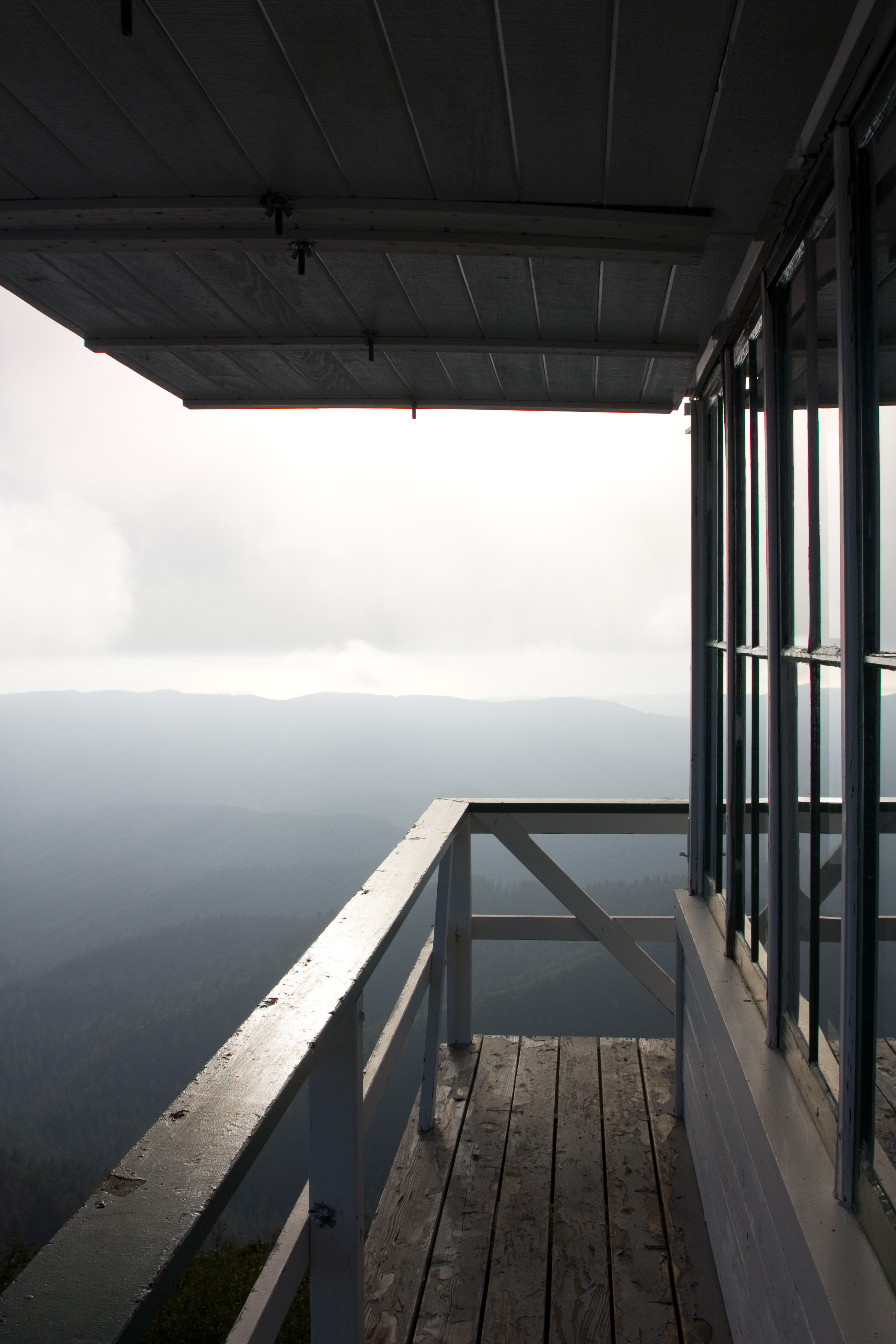
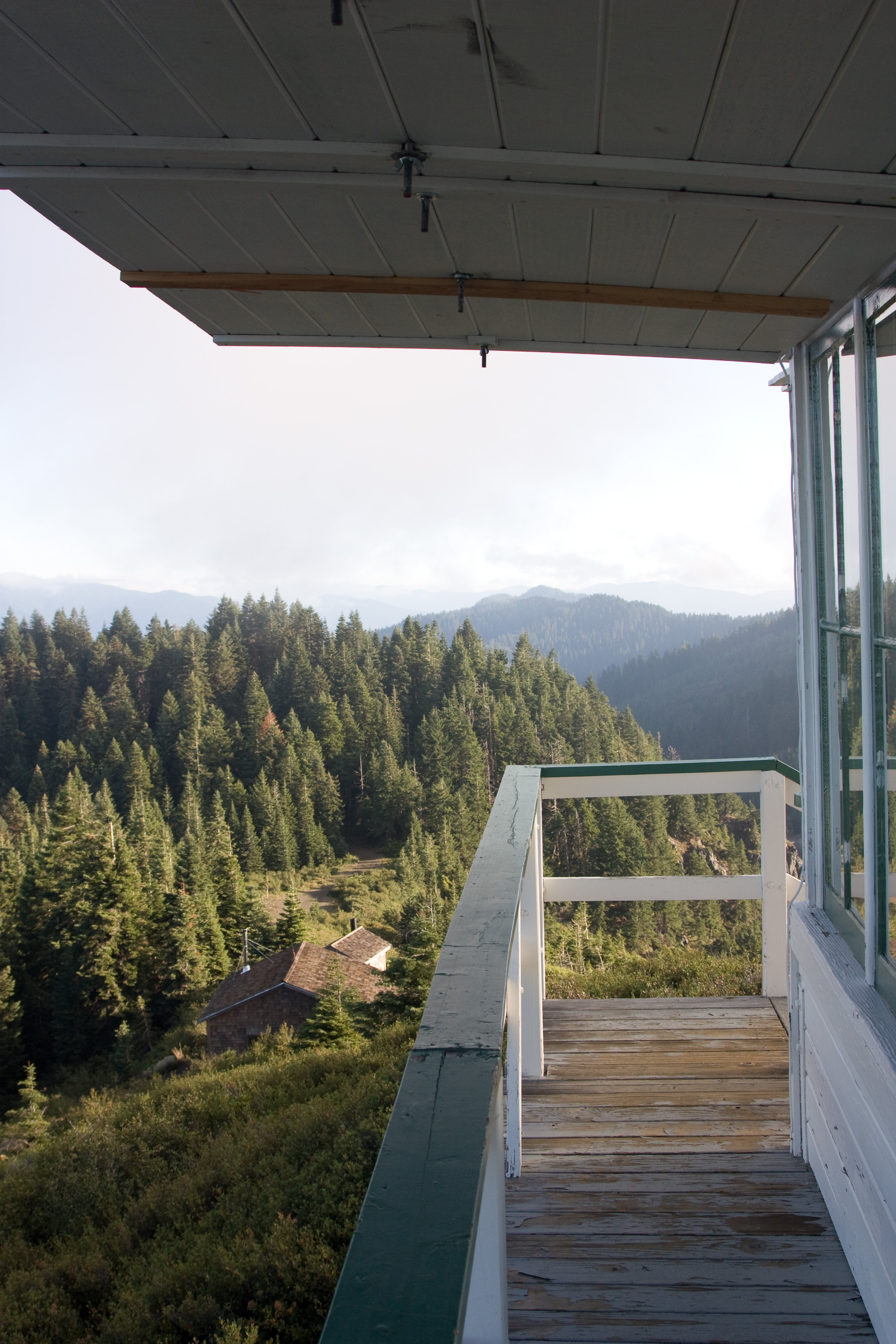
Tower Railing
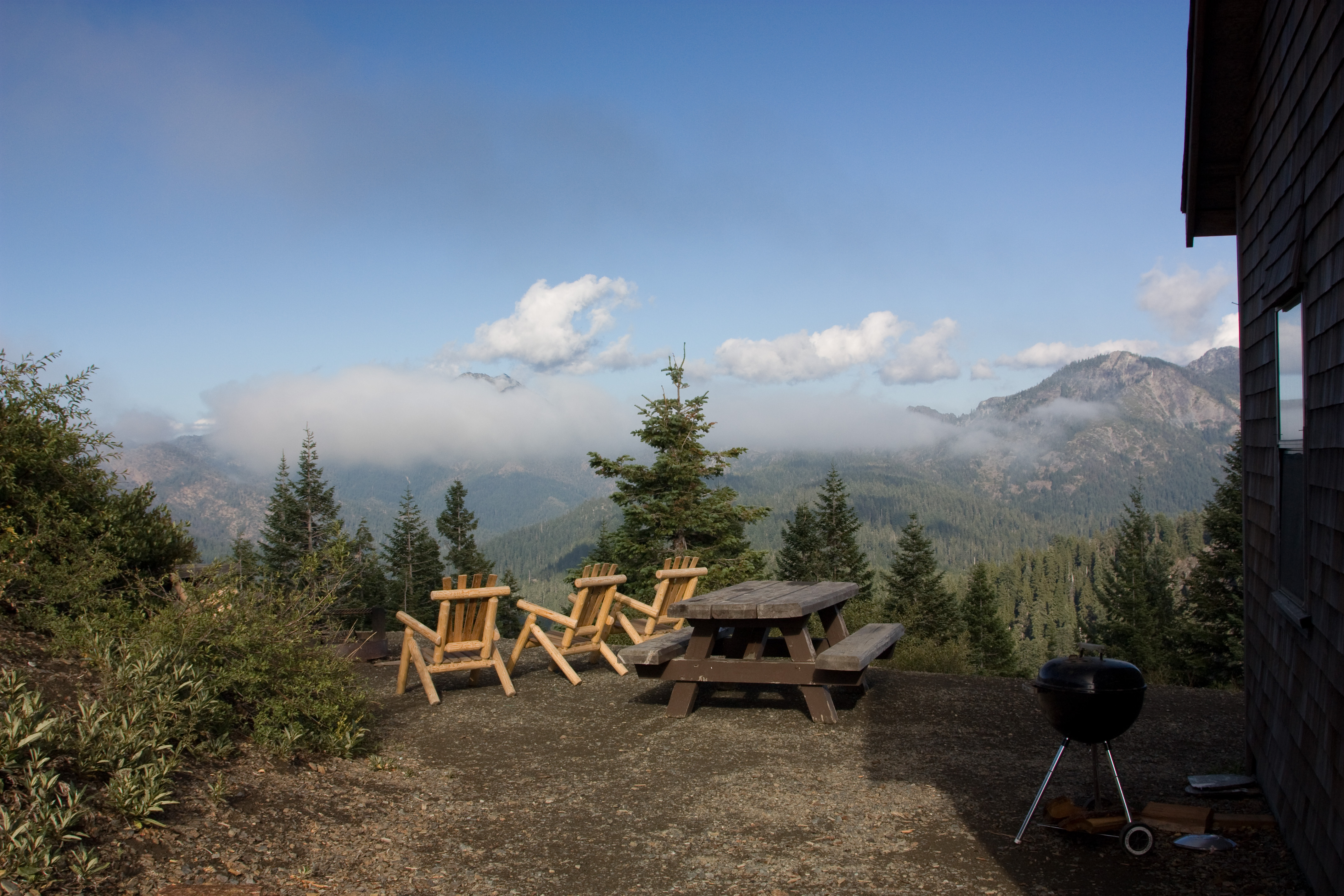
Picnic Table, Chairs, Barbeque
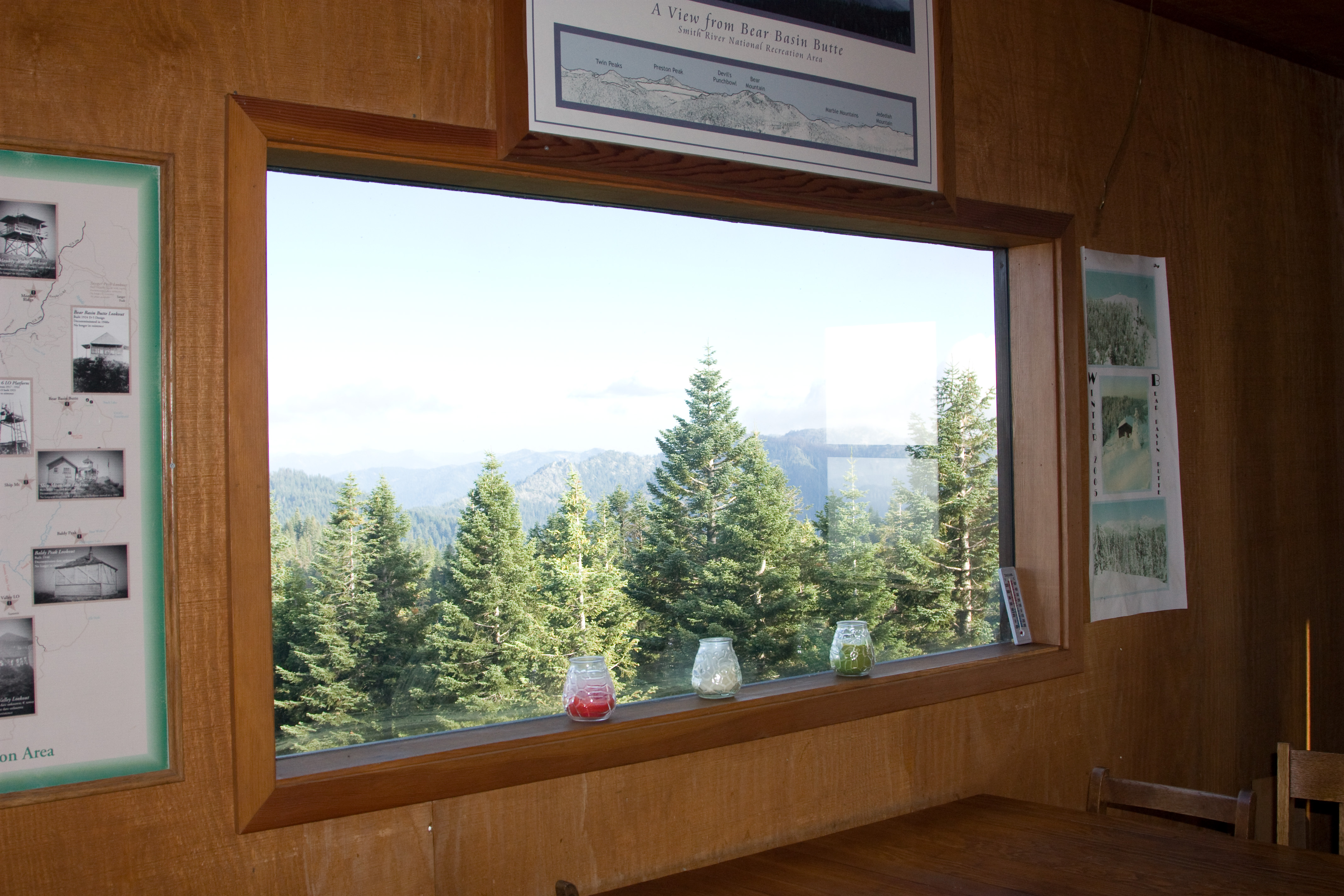
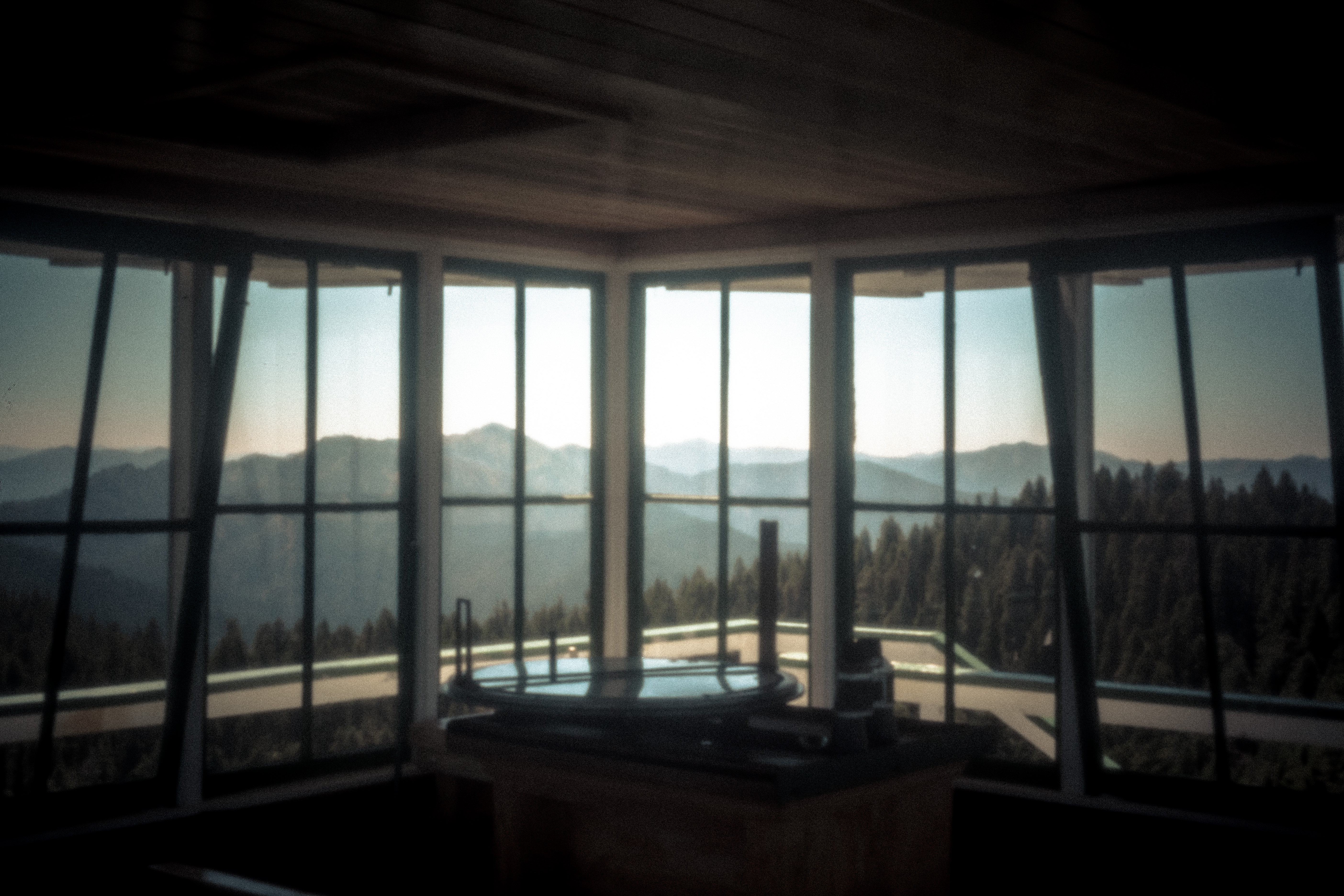
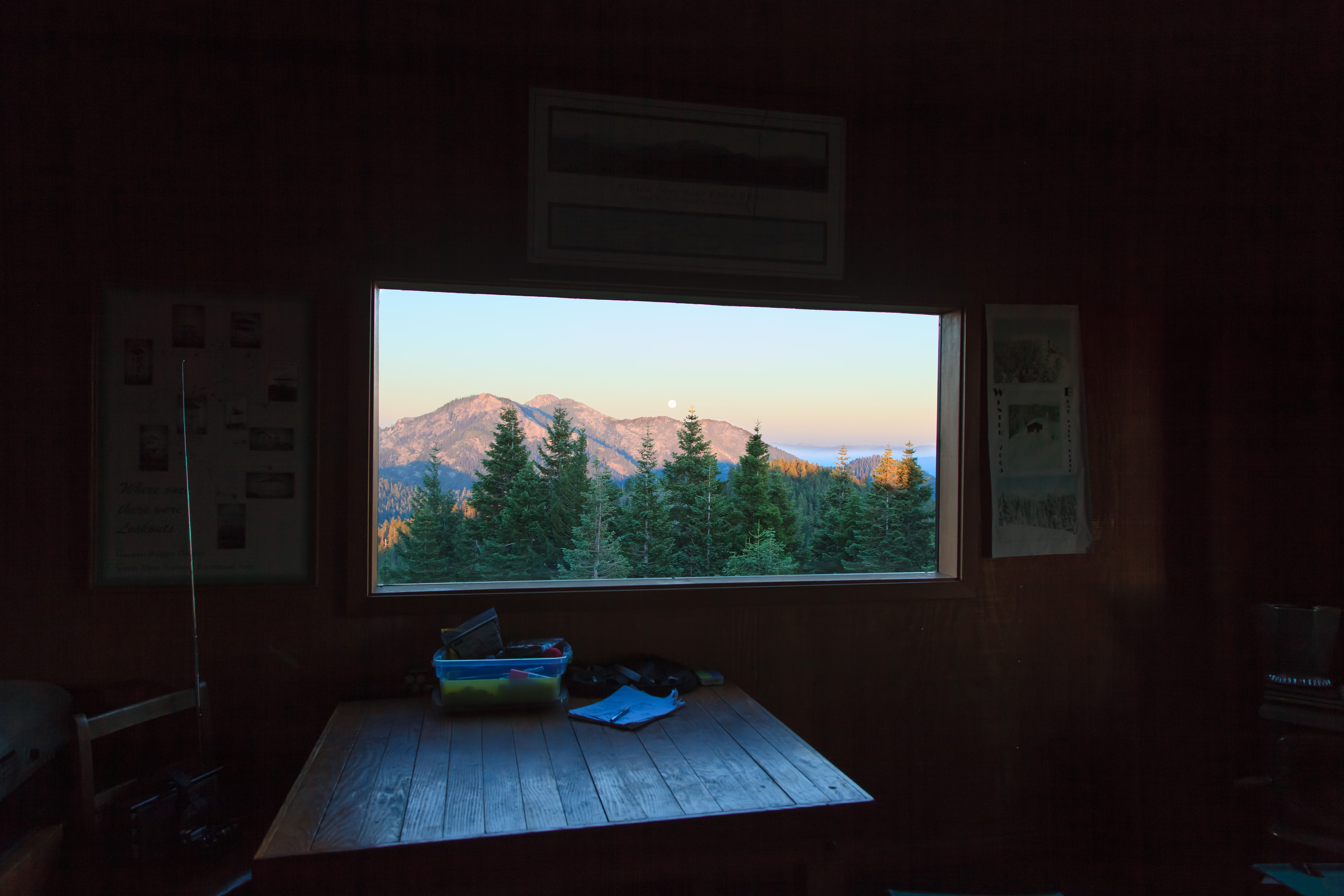
Main Room, Picture Window
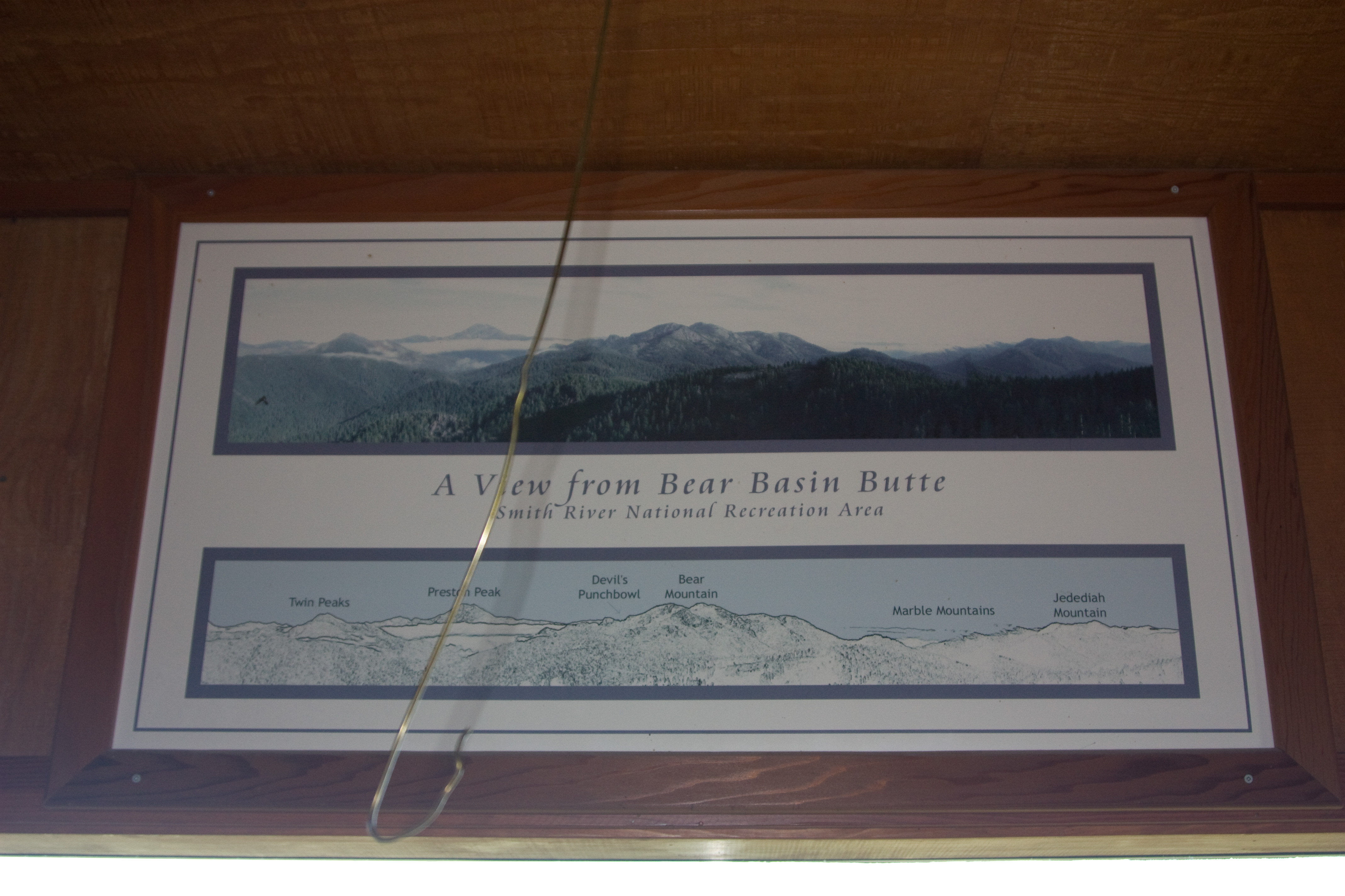
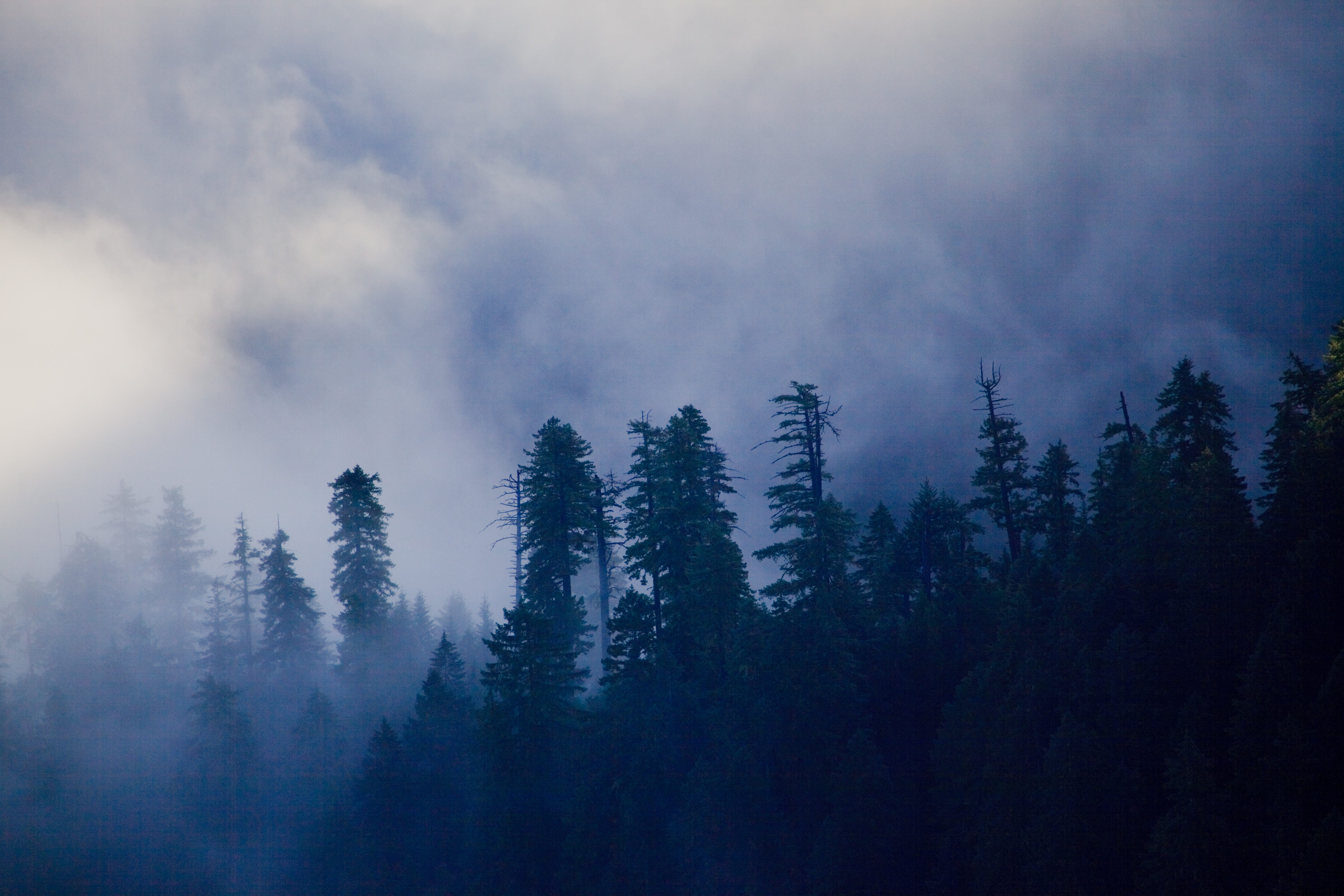
A View from Bear Basin Butte
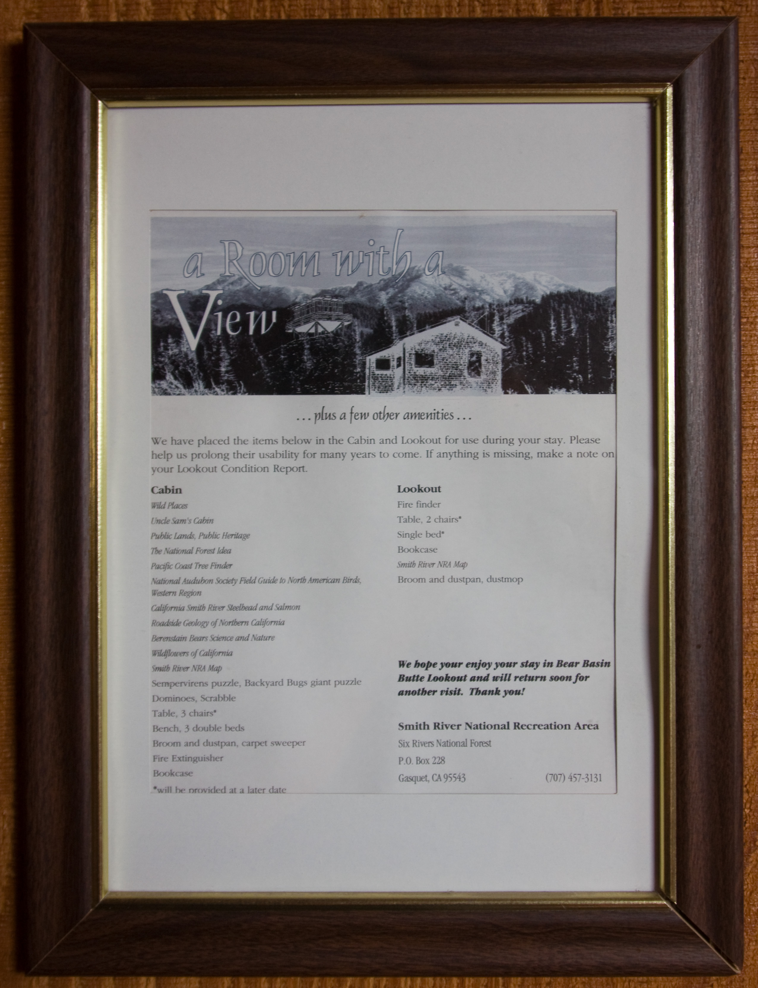
Room with a View
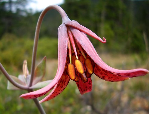
Bolander's Lily
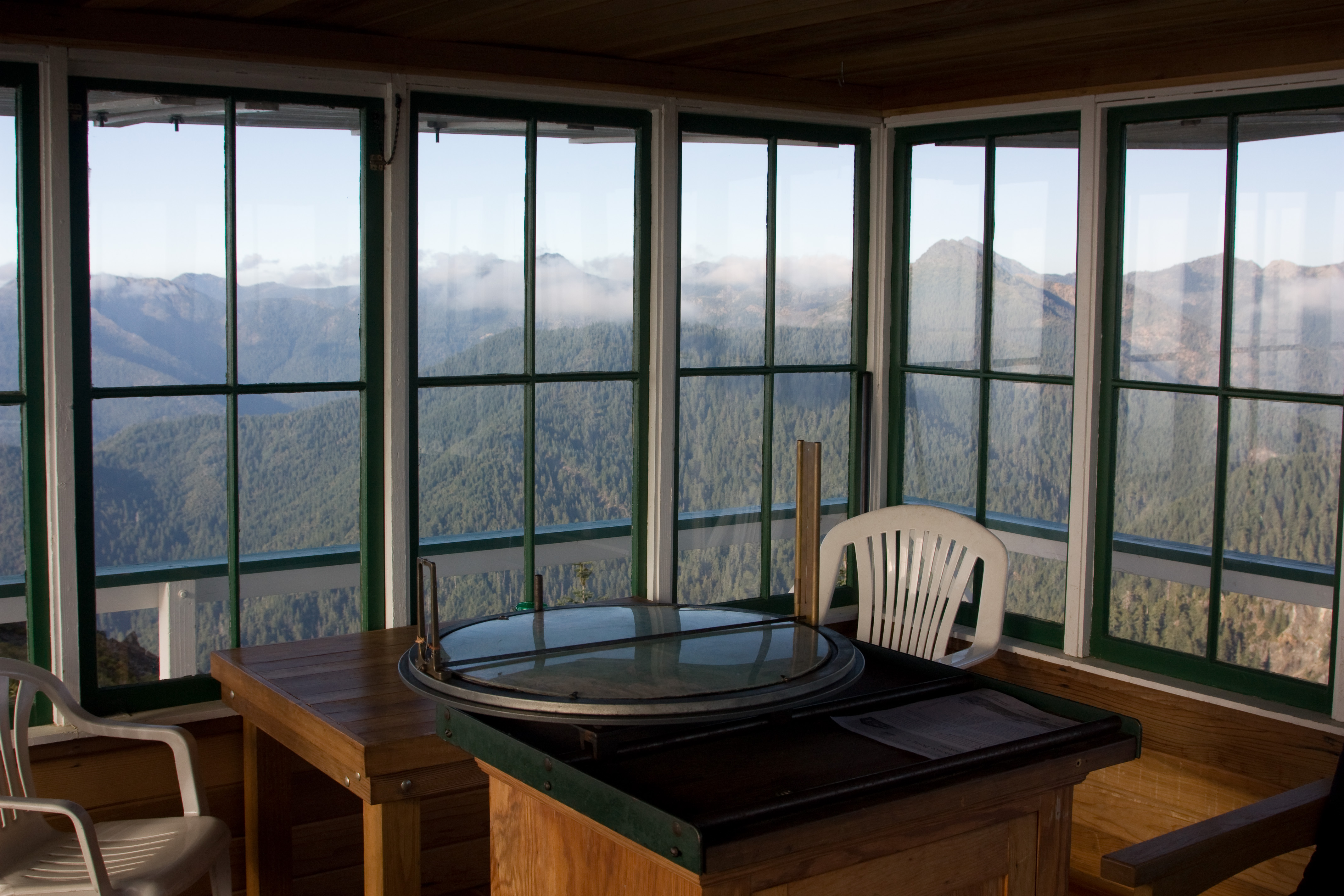
Tower Interior
View to the Horizon - pinhole Alt
View to the Horizon - pinhole
Tower Railing, Shutters and Cabin
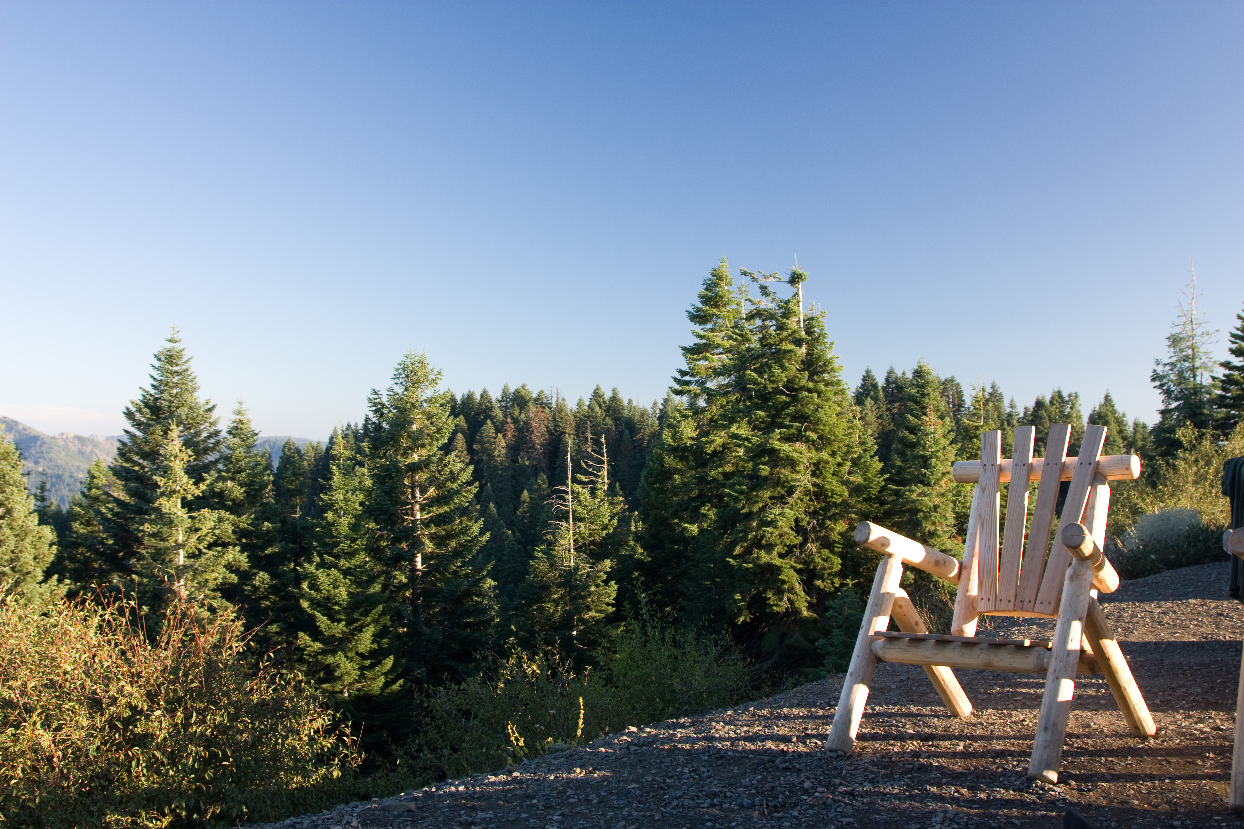
Chair with a View
more greenery
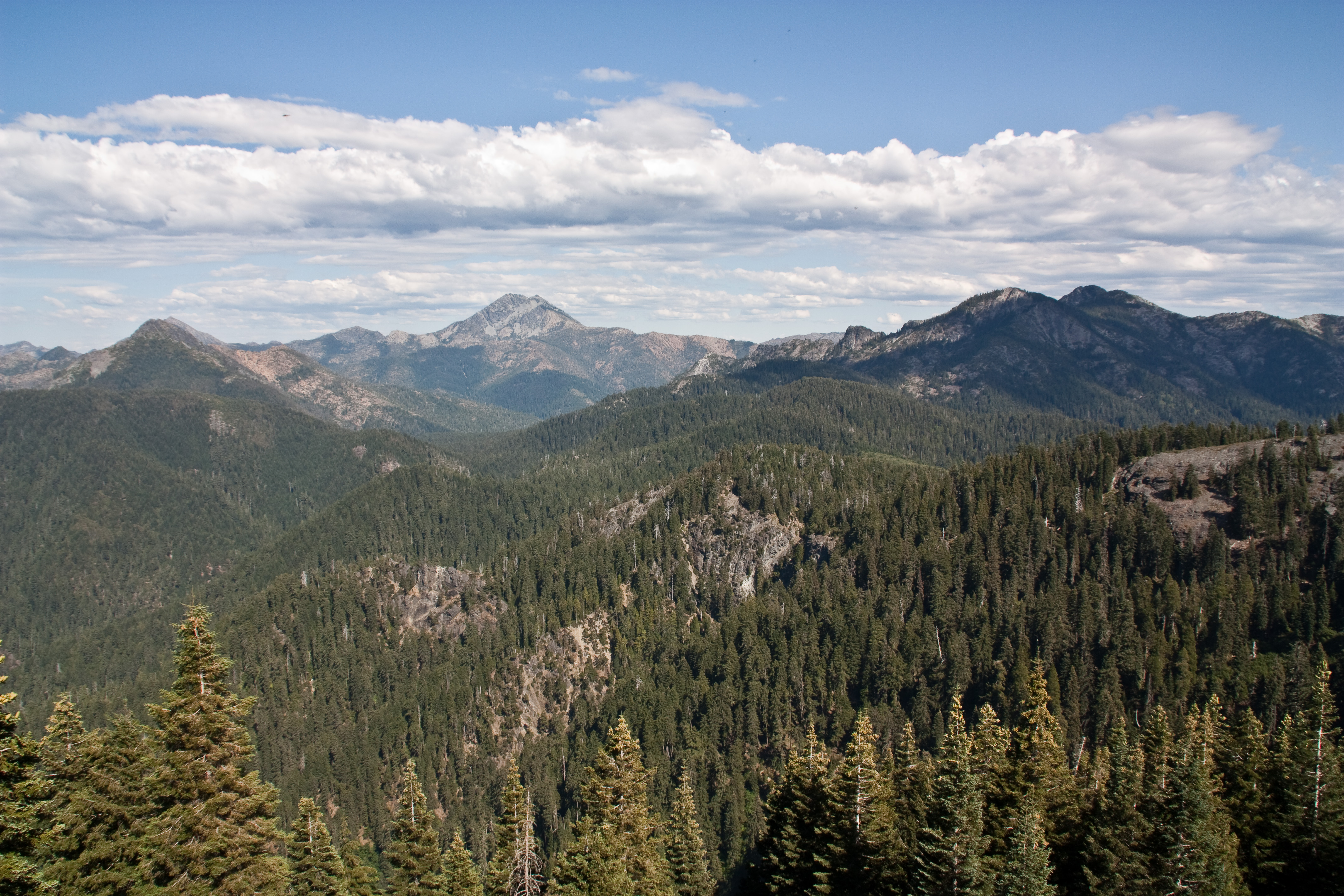
East View from Bear Basin Butte
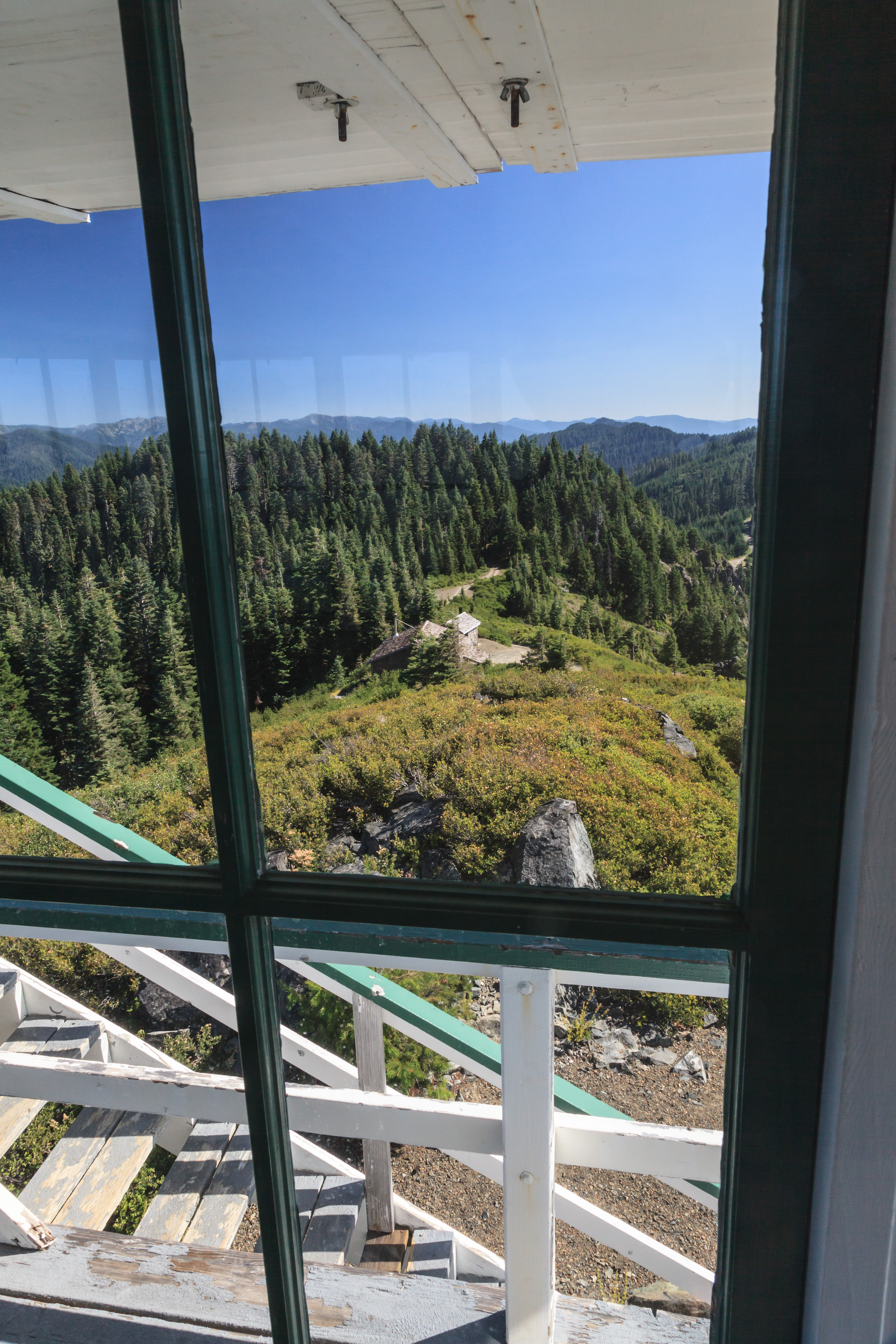
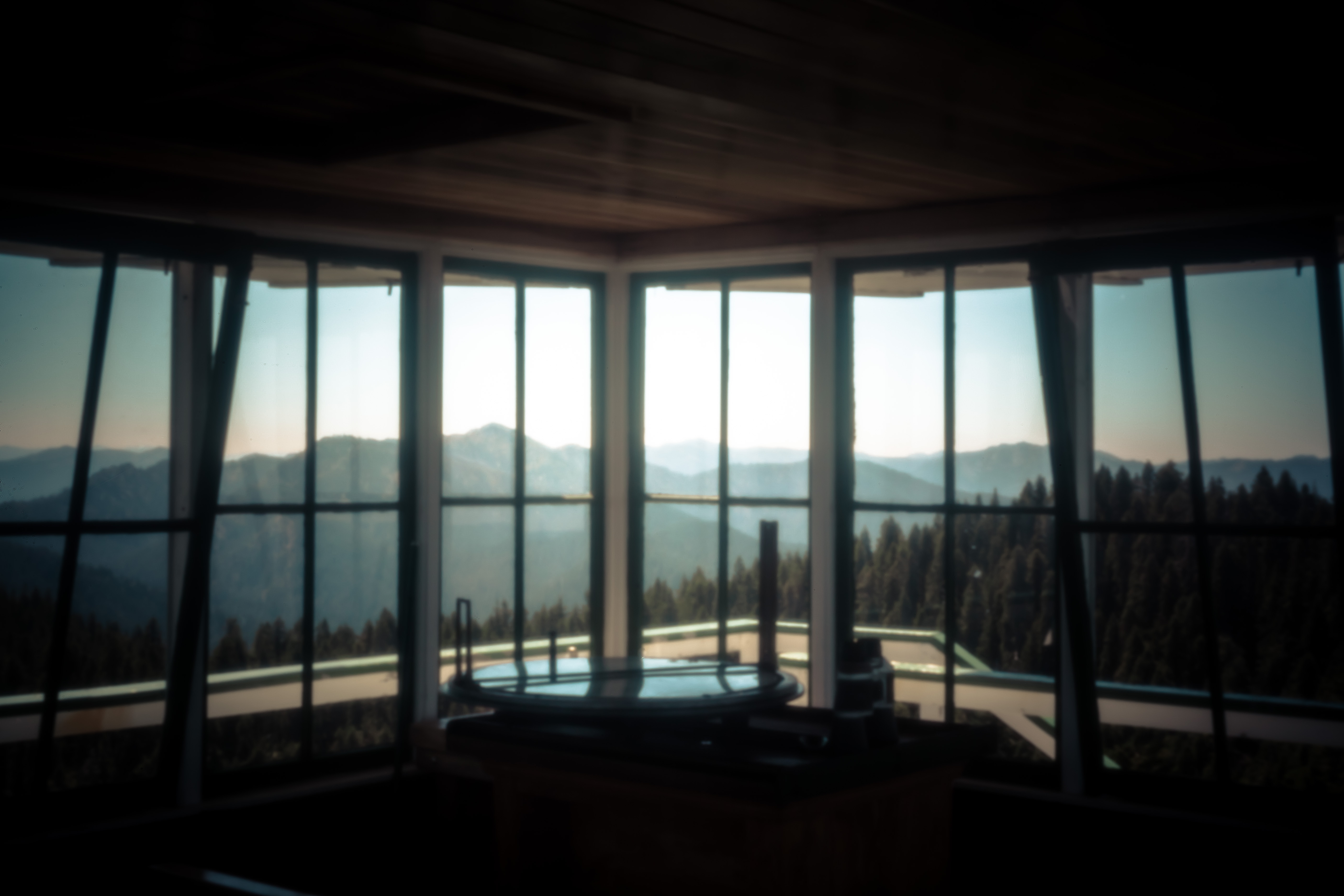
View from the Lookout Window - Bear Basin Butte

Oh, don't you worry....

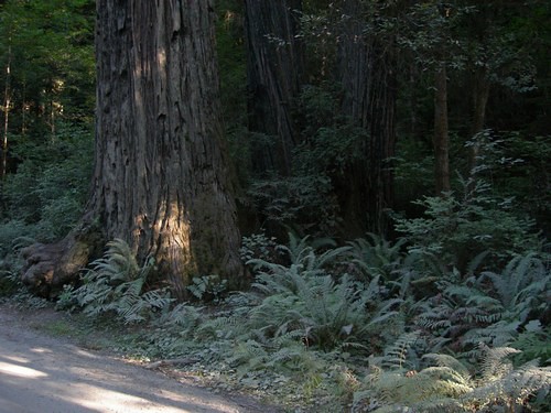
CA Trip Day 1: Red Wood
Whiskey Creek O'Brien Oregon
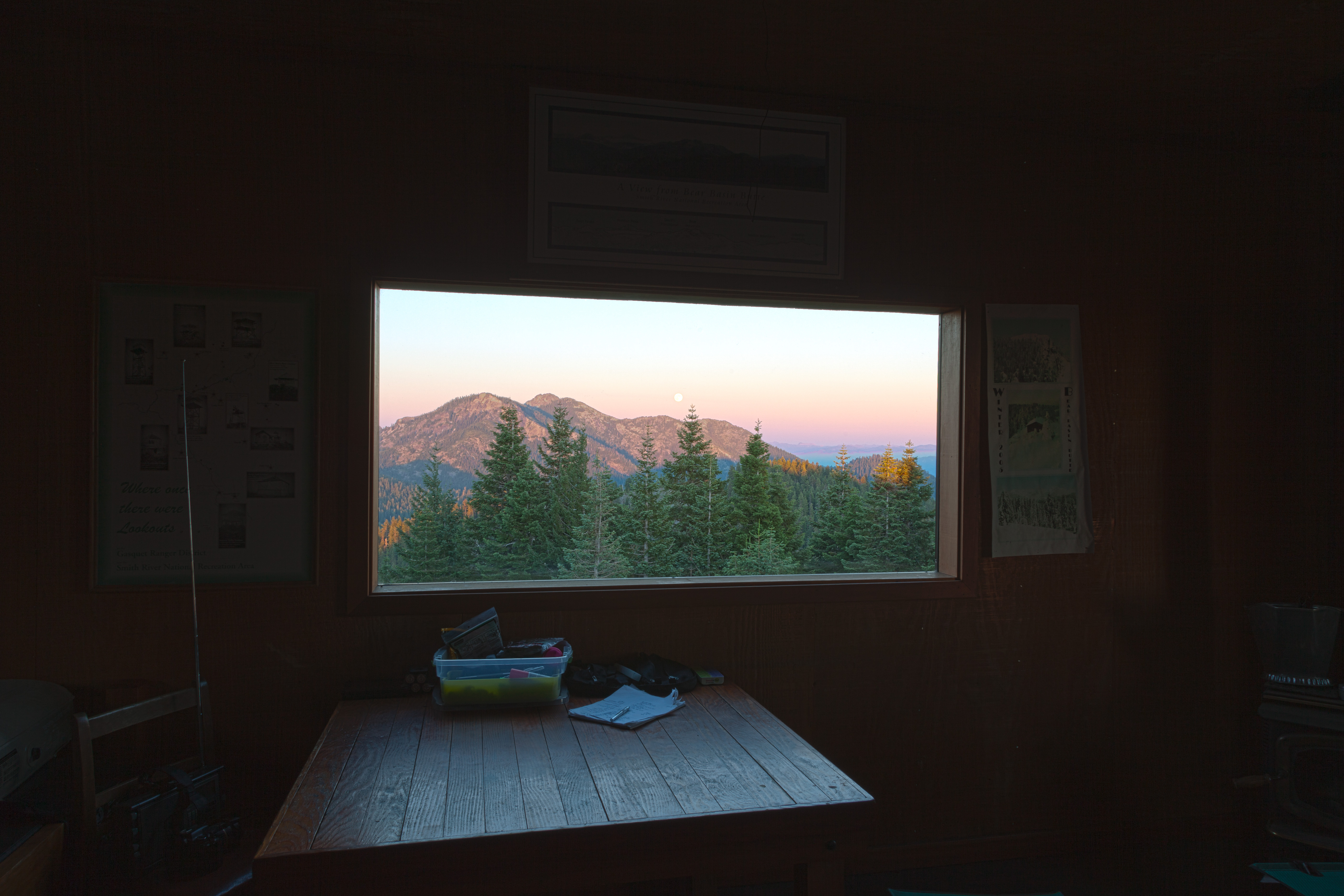
Moonrise from Bear Basin Butte 2
Moonrise from Bear Basin Butte 1
Whiskey Creek O'Brien Oregon

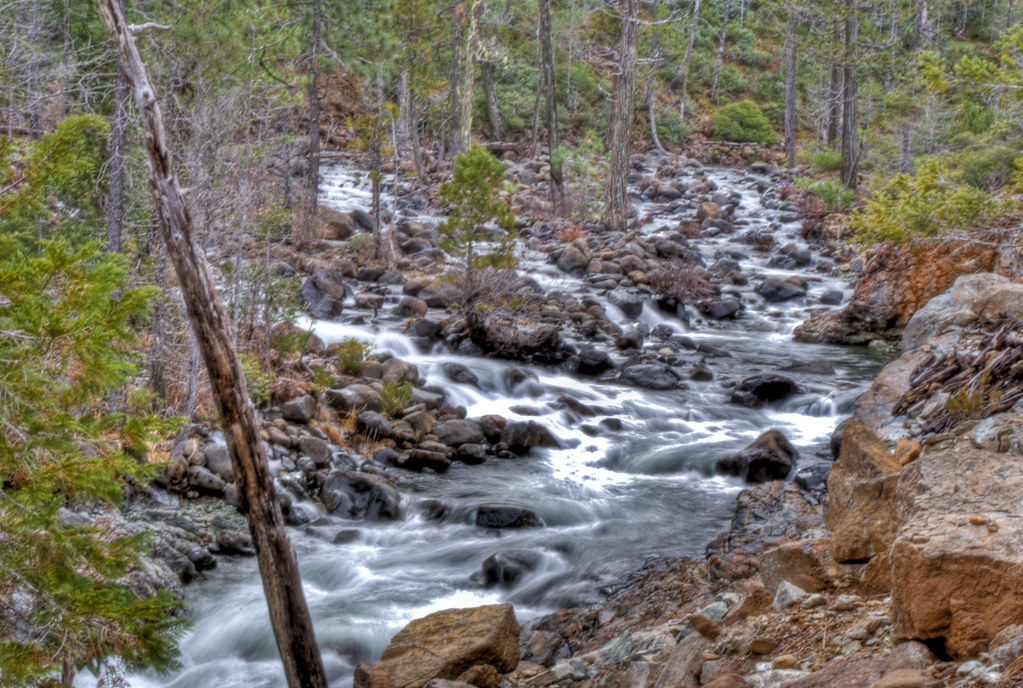
CA Trip Day 1: Unnamed Waterfall
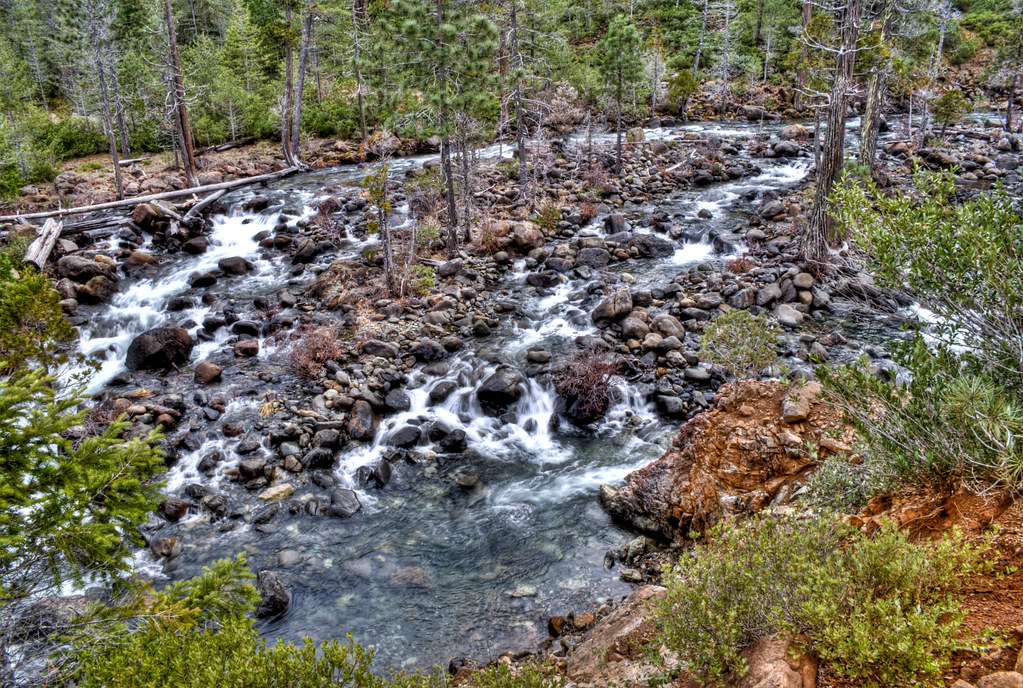
West Fork Illinois River
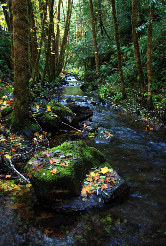
secluded stream
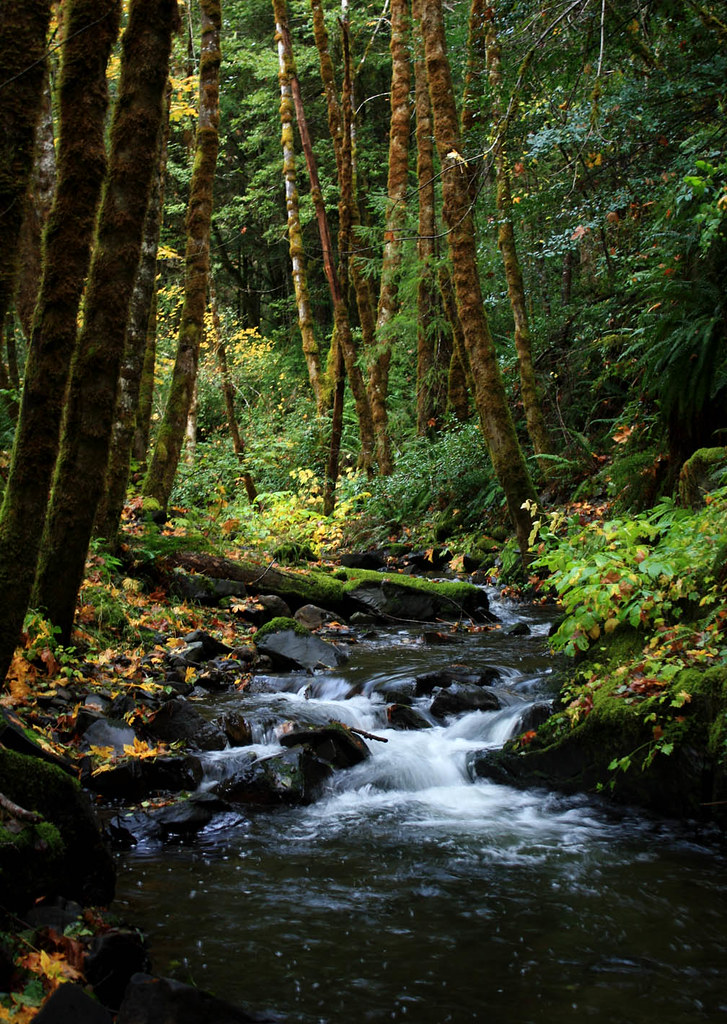
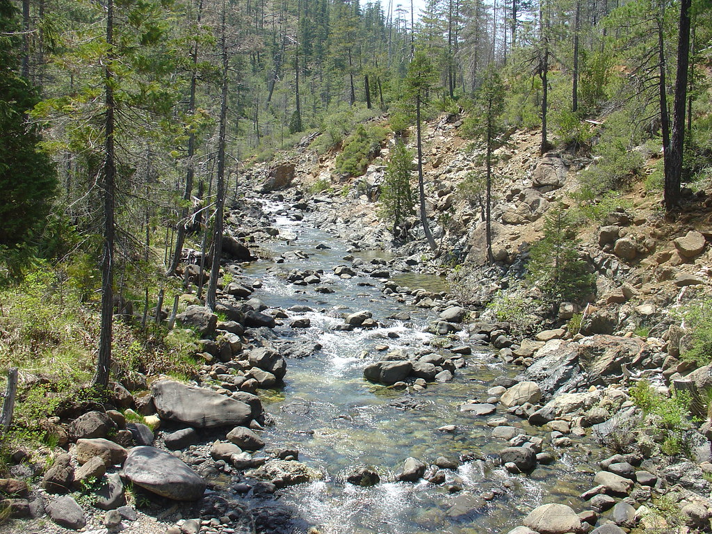
Oregon Mountain Creek
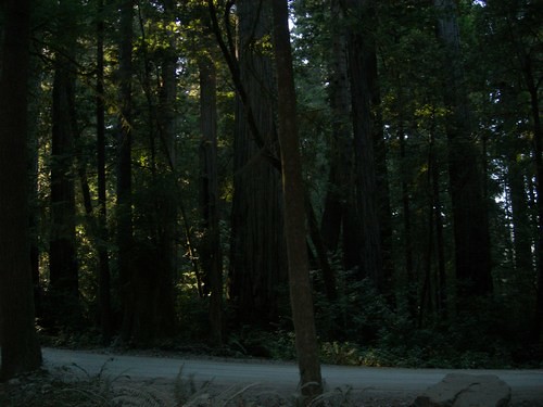
roadside trees

Sunset 1

Sunset 6

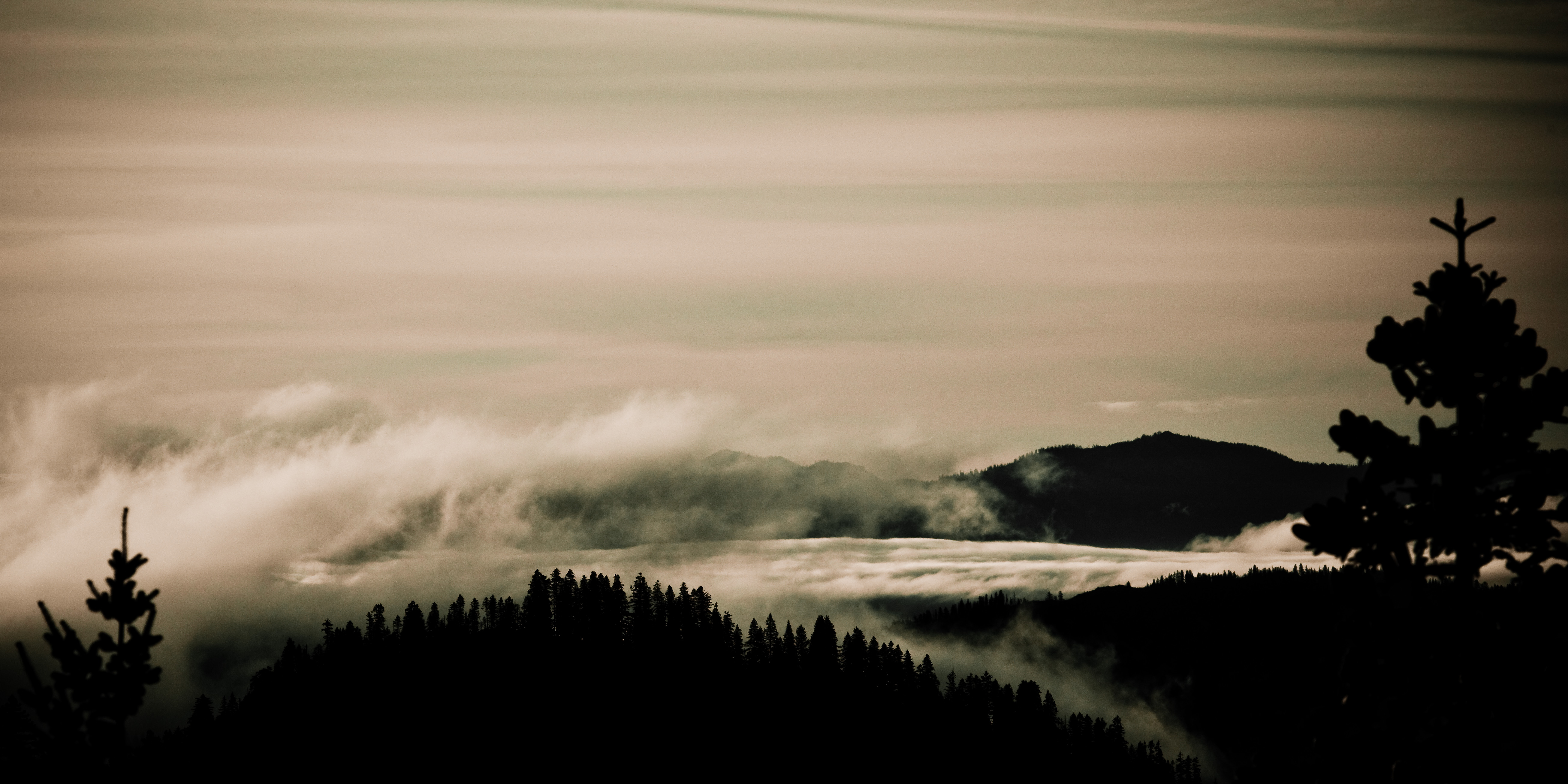
Cloud over Doe Flat

Sunset 2
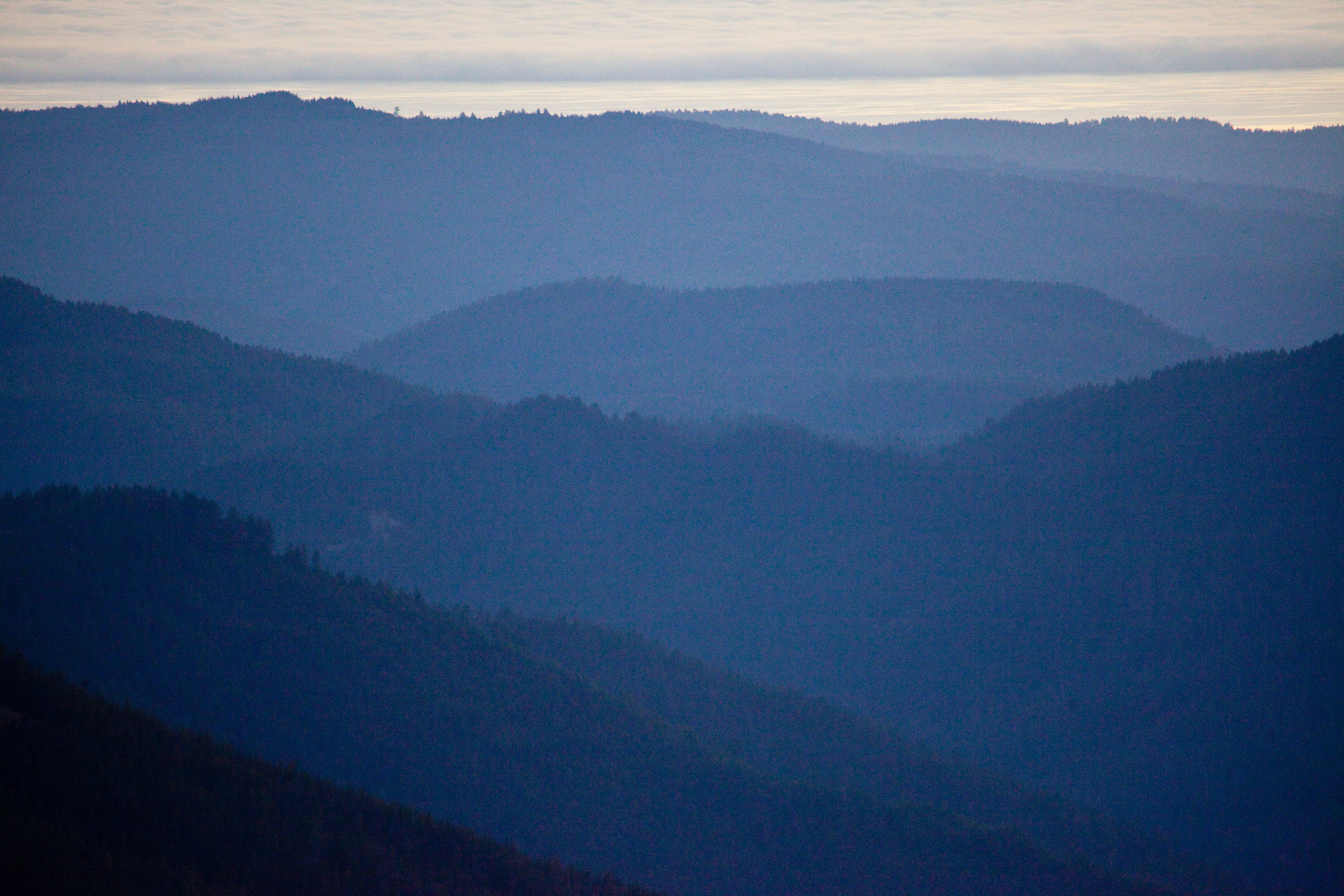
Receding Hills 3

reflected green

2013.01.11_10.34.00_P1100207(4)

Sunset August 1st

Sunset 3
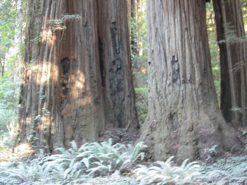
more redwoods
Spindles and Spires
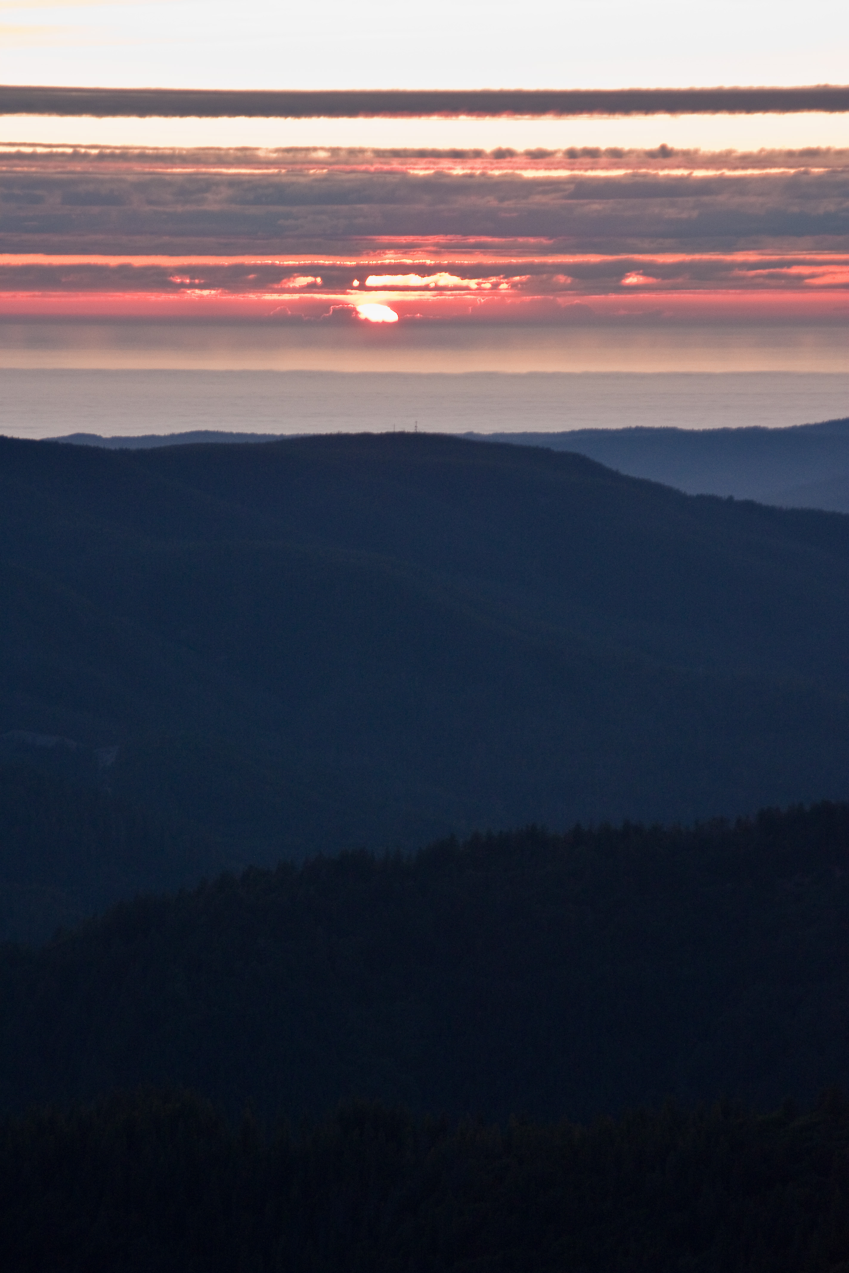
Sunset 5
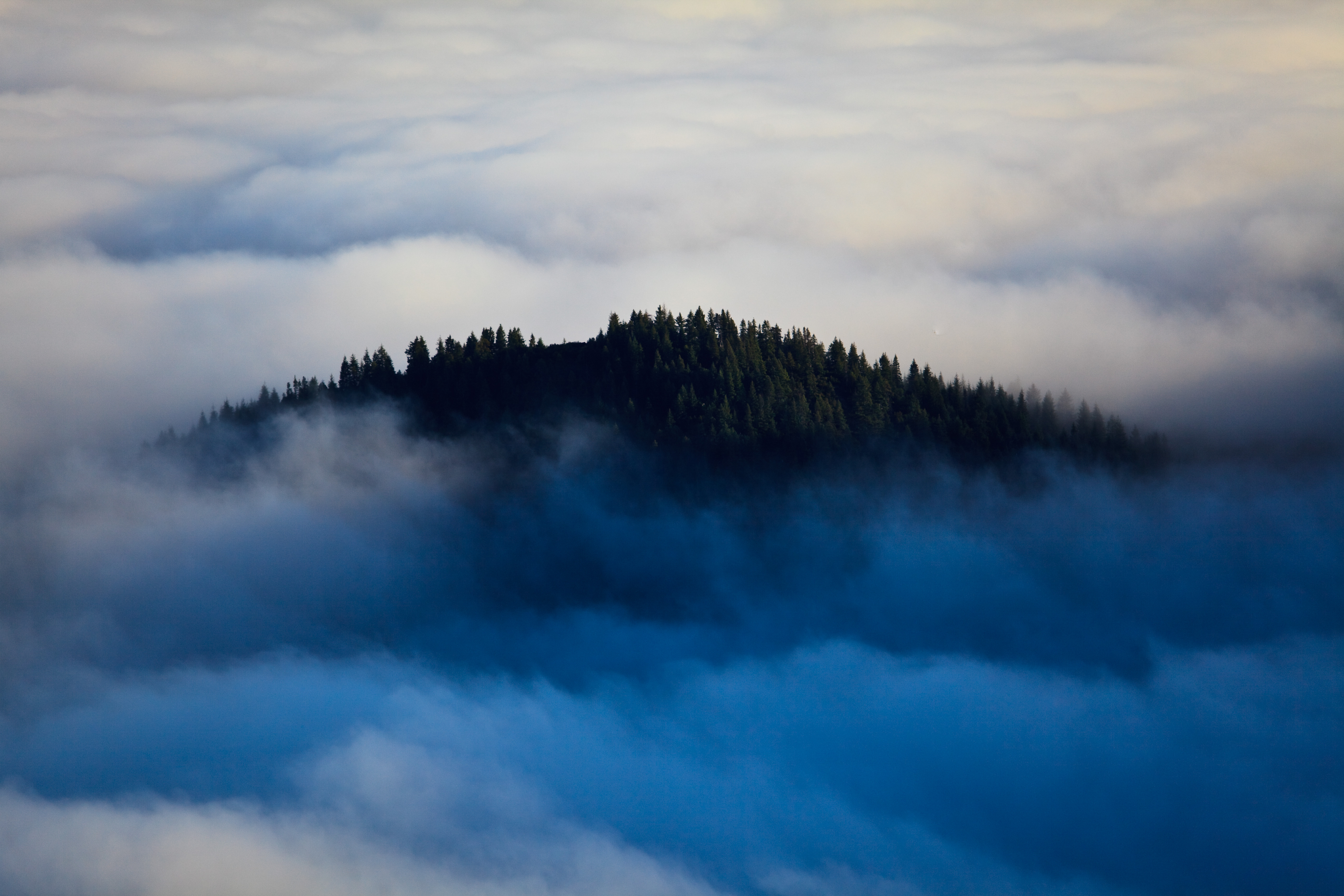
Above Blue Depths
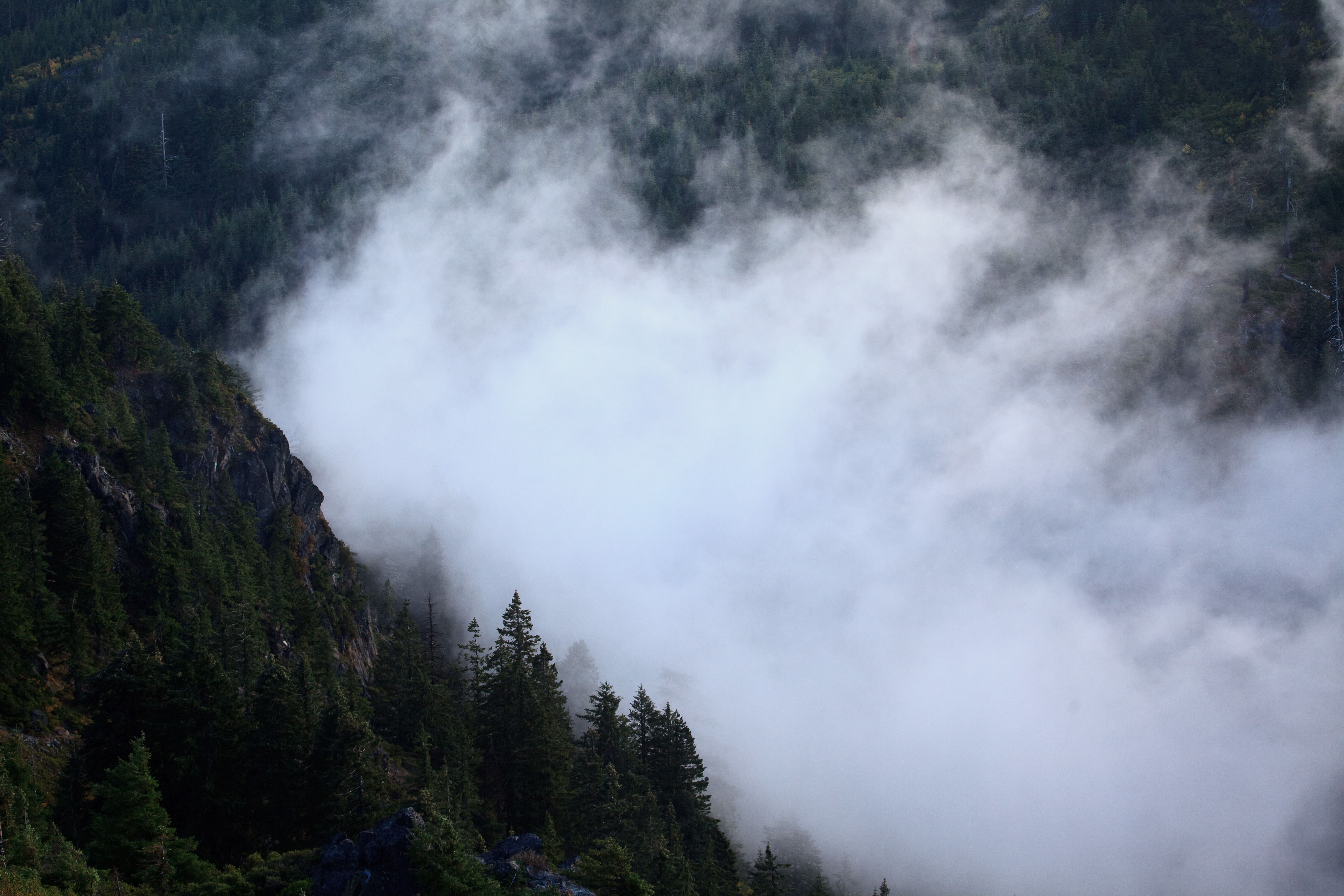
Cloud by the Ridge

The Smith River
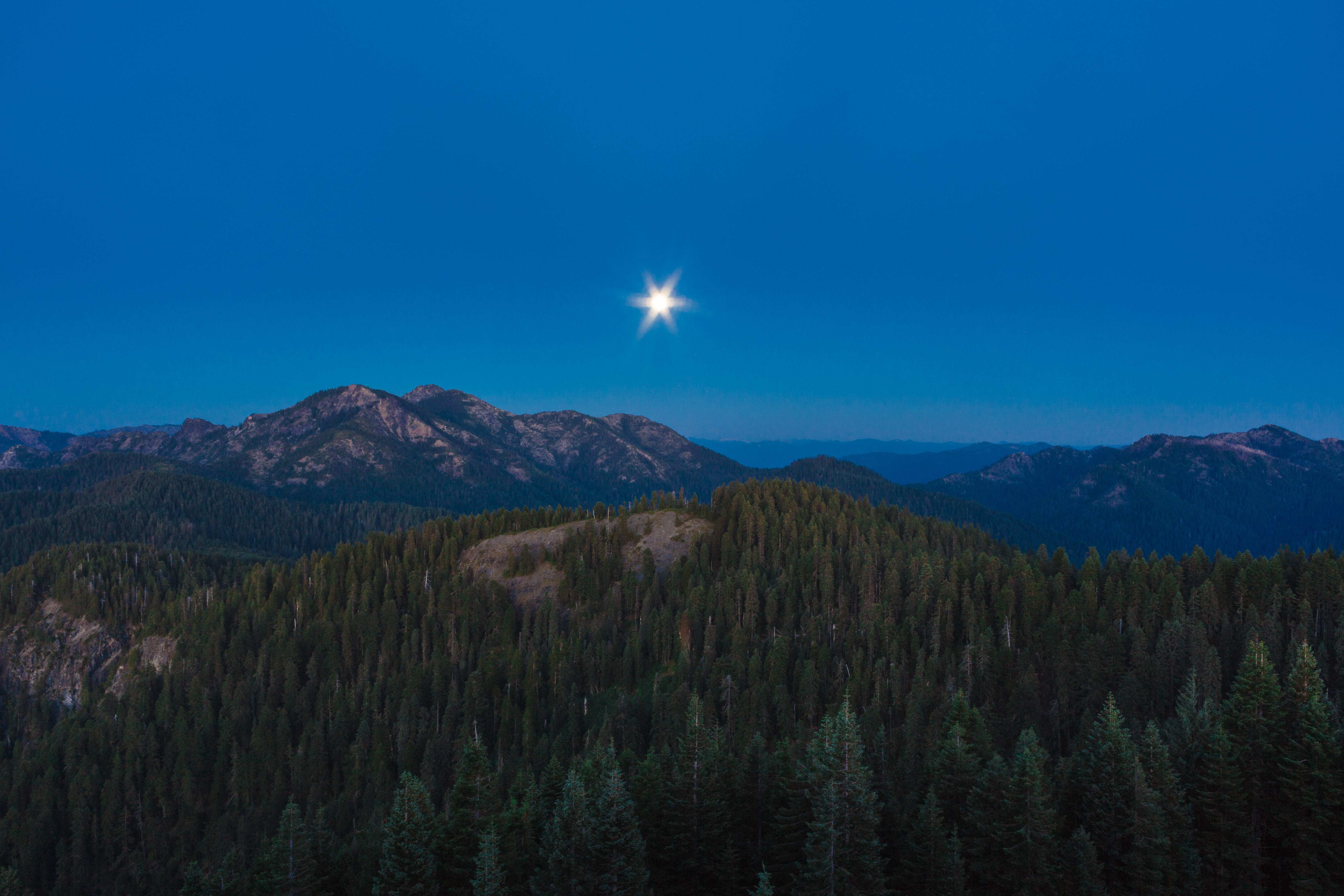
Moonrise from Bear Basin Butte
Serpentine and Silhouette
Topographic Map of US-, Gasquet, CA, USA
Find elevation by address:

Places near US-, Gasquet, CA, USA:
Lado Del Rio Rd, Gasquet, CA, USA
Gasquet
Low Divide Rd, Crescent City, CA, USA
French Hill Rd, Gasquet, CA, USA
French Hill
Big Flat Road
125 French Hill Rd
150 Clausen Ln
150 Clausen Ln
101 Oak St
2135 S Fork Rd
Del Norte County
2200 Low Divide Rd
Douglas Park Dr, Crescent City, CA, USA
125 Storm Way
Hiouchi
Jedediah Smith Redwood State Park Campground
140 Jed Smith Ln
Bell Hole Loop
101 Terrace Dr
Recent Searches:
- Elevation map of Greenland, Greenland
- Elevation of Sullivan Hill, New York, New York, 10002, USA
- Elevation of Morehead Road, Withrow Downs, Charlotte, Mecklenburg County, North Carolina, 28262, USA
- Elevation of 2800, Morehead Road, Withrow Downs, Charlotte, Mecklenburg County, North Carolina, 28262, USA
- Elevation of Yangbi Yi Autonomous County, Yunnan, China
- Elevation of Pingpo, Yangbi Yi Autonomous County, Yunnan, China
- Elevation of Mount Malong, Pingpo, Yangbi Yi Autonomous County, Yunnan, China
- Elevation map of Yongping County, Yunnan, China
- Elevation of North 8th Street, Palatka, Putnam County, Florida, 32177, USA
- Elevation of 107, Big Apple Road, East Palatka, Putnam County, Florida, 32131, USA
- Elevation of Jiezi, Chongzhou City, Sichuan, China
- Elevation of Chongzhou City, Sichuan, China
- Elevation of Huaiyuan, Chongzhou City, Sichuan, China
- Elevation of Qingxia, Chengdu, Sichuan, China
- Elevation of Corso Fratelli Cairoli, 35, Macerata MC, Italy
- Elevation of Tallevast Rd, Sarasota, FL, USA
- Elevation of 4th St E, Sonoma, CA, USA
- Elevation of Black Hollow Rd, Pennsdale, PA, USA
- Elevation of Oakland Ave, Williamsport, PA, USA
- Elevation of Pedrógão Grande, Portugal