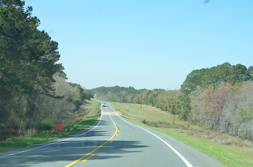
Elevation of US-, Douglas, GA, USA
Location: United States > Georgia > Coffee County > Douglas >
Longitude: -82.794768
Latitude: 31.5619281
Elevation: 72m / 236feet
Barometric Pressure: 100KPa
Related Photos:
Topographic Map of US-, Douglas, GA, USA
Find elevation by address:

Places near US-, Douglas, GA, USA:
Coffee County
Frank Vaughn Road
General Coffee State Park
336 Phelps Rd
726 Forest Cir
Douglas Broxton Hwy, Broxton, GA, USA
GA- Connector, Douglas, GA, USA
46 John Coffee Rd
46 John Coffee Rd
Douglas
Chatterton Ch Rd, Nicholls, GA, USA
US-, West Green, GA, USA
West Green
157 Quail Hollow Rd
8837 Ga-32
Broxton
Alabama St, Broxton, GA, USA
Sioux Trail
Willacoochee Hwy, Douglas, GA, USA
Burton Road
Recent Searches:
- Elevation of Corso Fratelli Cairoli, 35, Macerata MC, Italy
- Elevation of Tallevast Rd, Sarasota, FL, USA
- Elevation of 4th St E, Sonoma, CA, USA
- Elevation of Black Hollow Rd, Pennsdale, PA, USA
- Elevation of Oakland Ave, Williamsport, PA, USA
- Elevation of Pedrógão Grande, Portugal
- Elevation of Klee Dr, Martinsburg, WV, USA
- Elevation of Via Roma, Pieranica CR, Italy
- Elevation of Tavkvetili Mountain, Georgia
- Elevation of Hartfords Bluff Cir, Mt Pleasant, SC, USA

