Elevation of Douglas Broxton Hwy, Broxton, GA, USA
Location: United States > Georgia > Coffee County > Broxton >
Longitude: -82.853333
Latitude: 31.581655
Elevation: 73m / 240feet
Barometric Pressure: 100KPa
Elevation Map:
Satellite Map:
Related Photos:

General Coffee State Park

General Coffee Heritage Farm and Lake
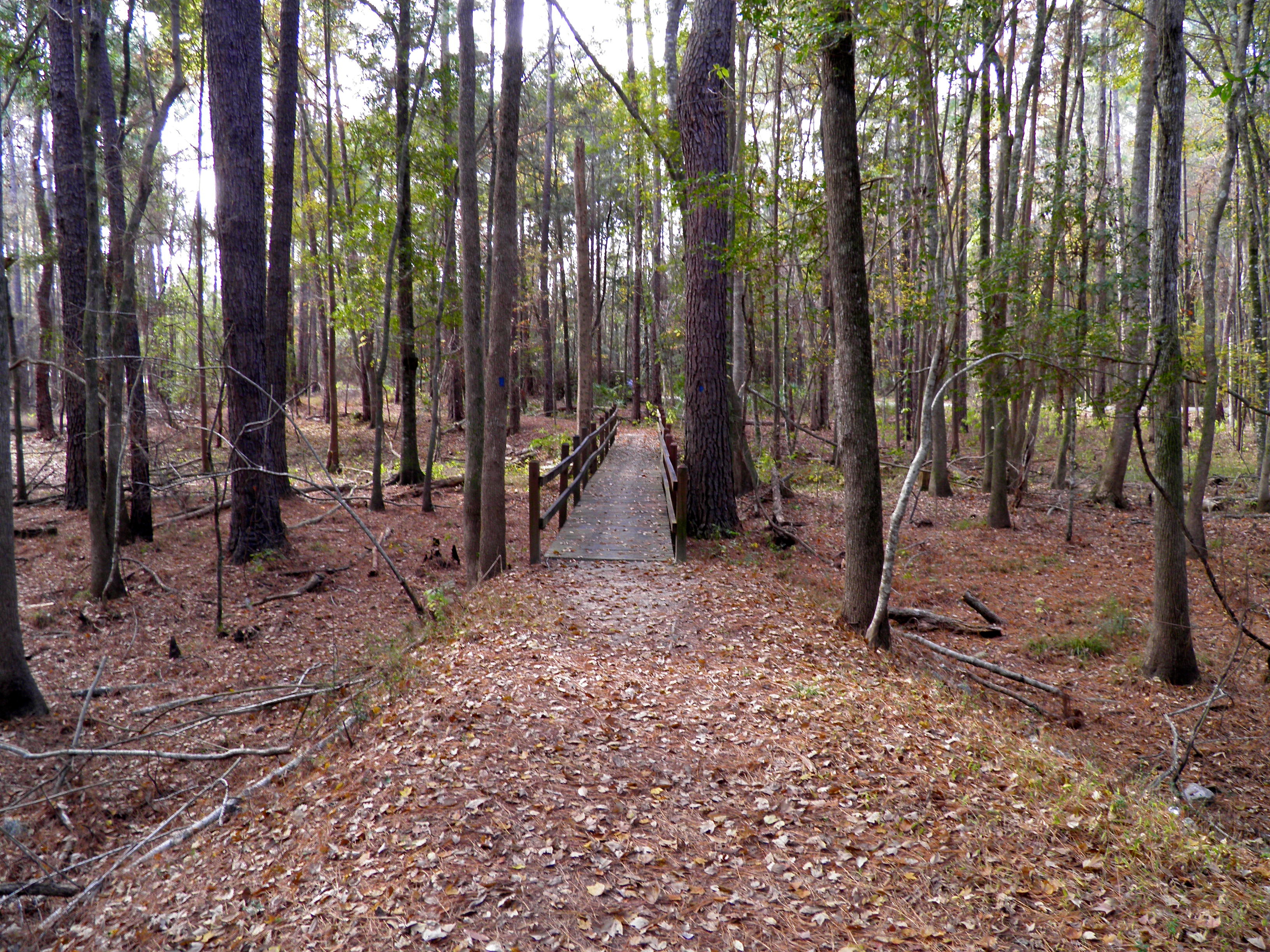
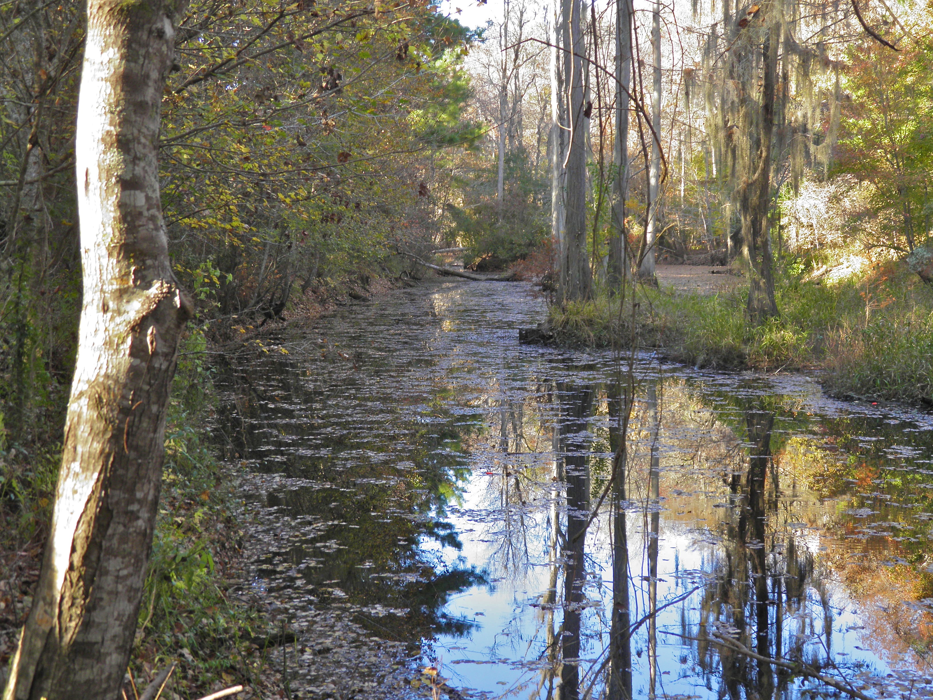
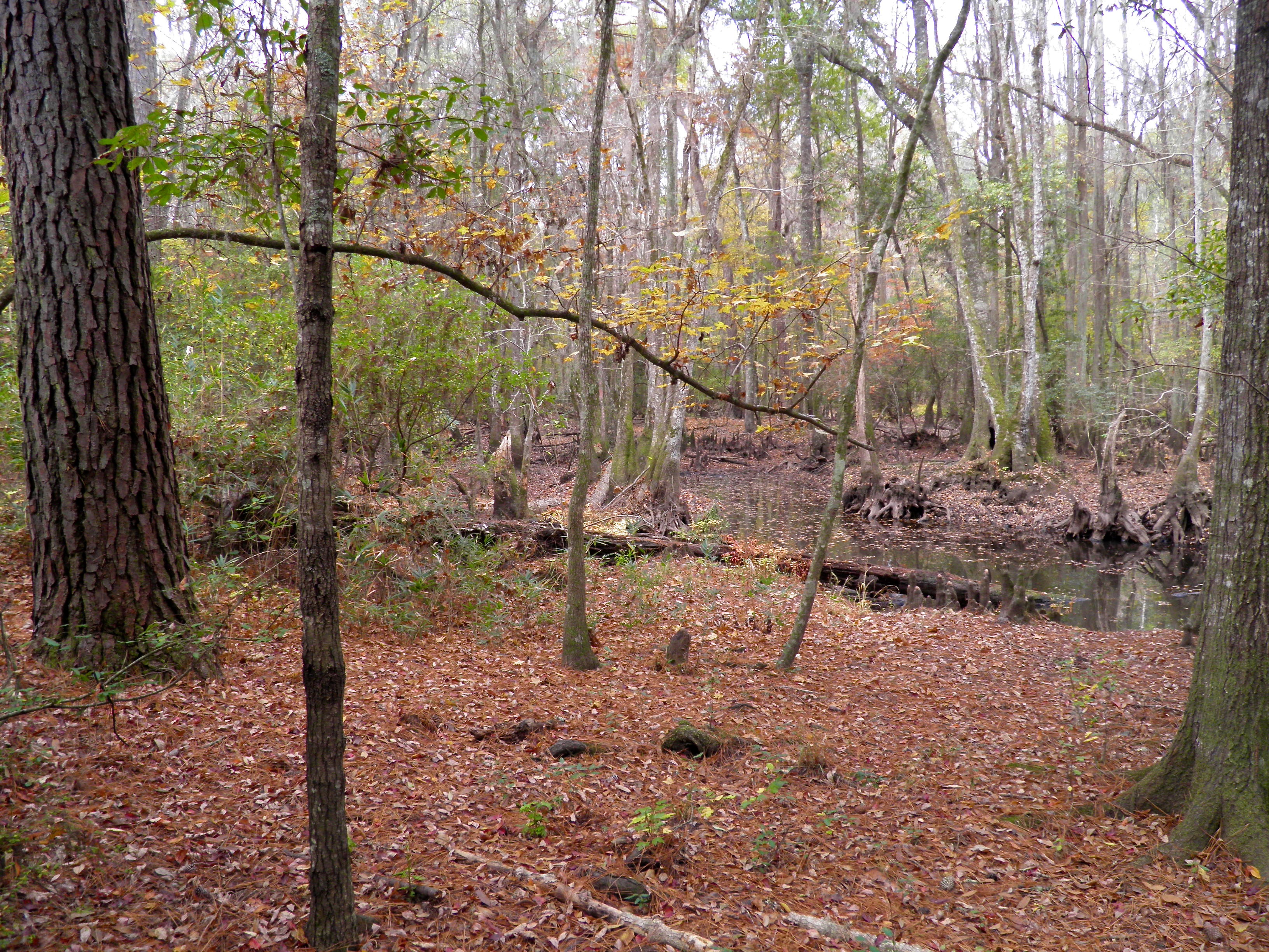
General Coffee River Swamp Trail

Carver (Douglas)
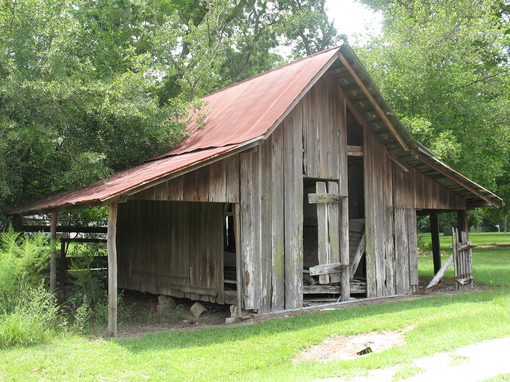
Old Barn Ambrose GA
Okefenokee Swamp Trip
Okefenokee Swamp Trip
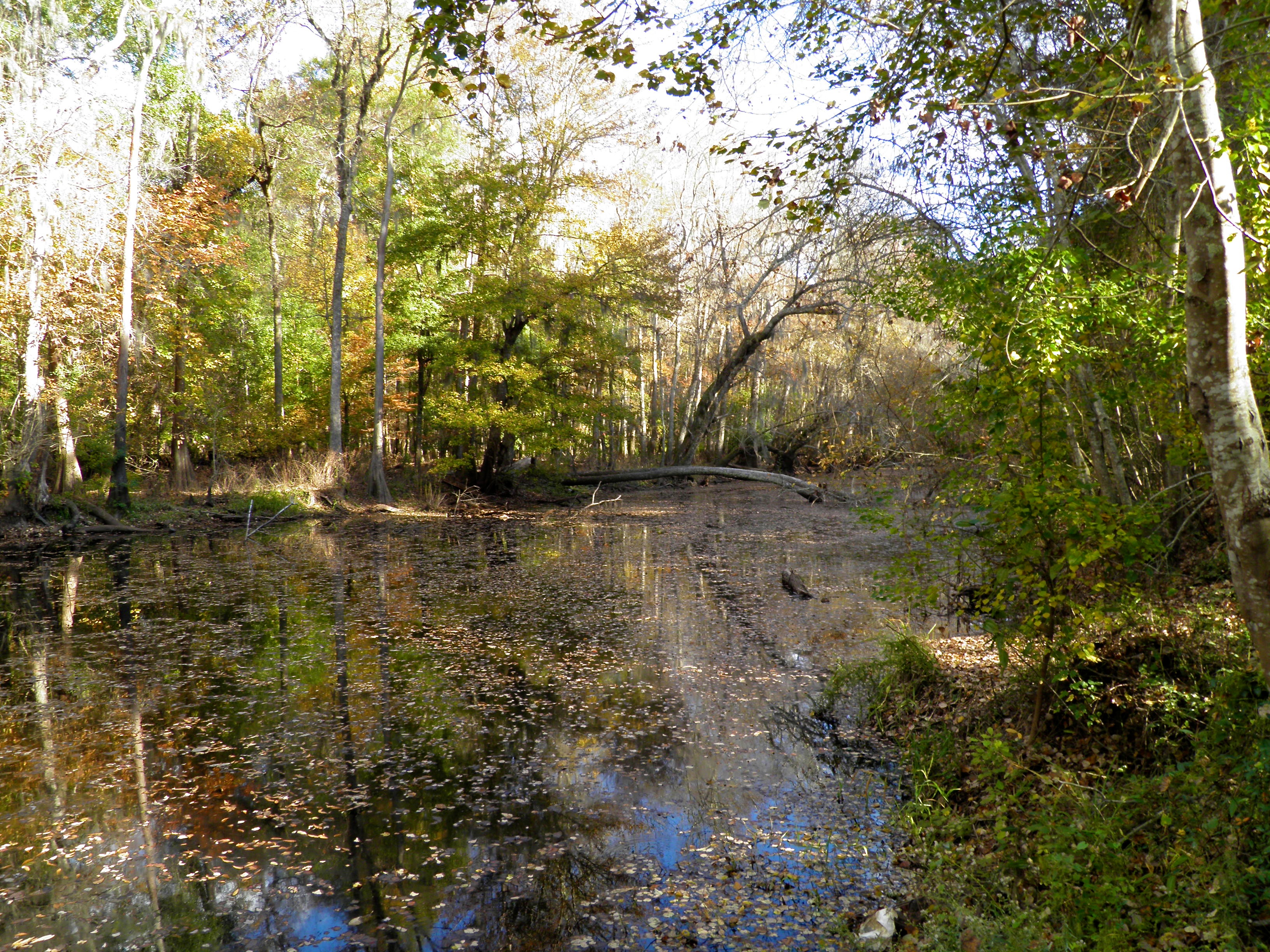
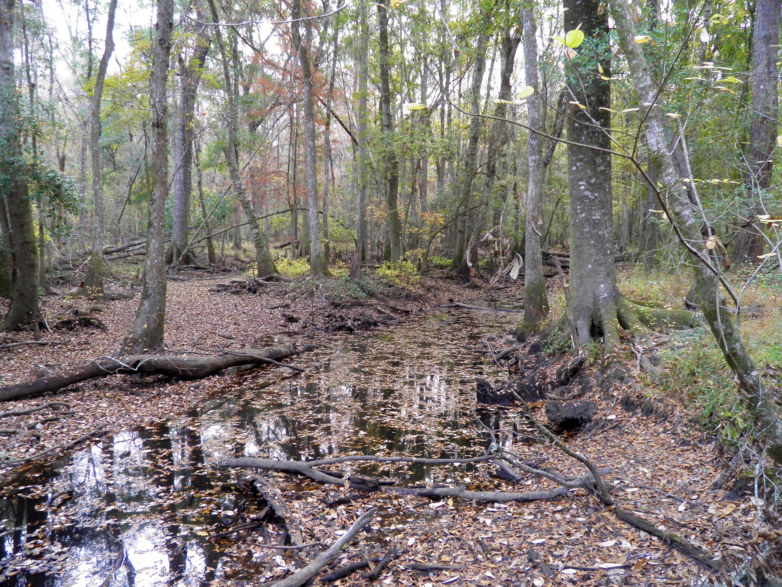
General Coffee Seventeen Mile River

General Coffee SP20
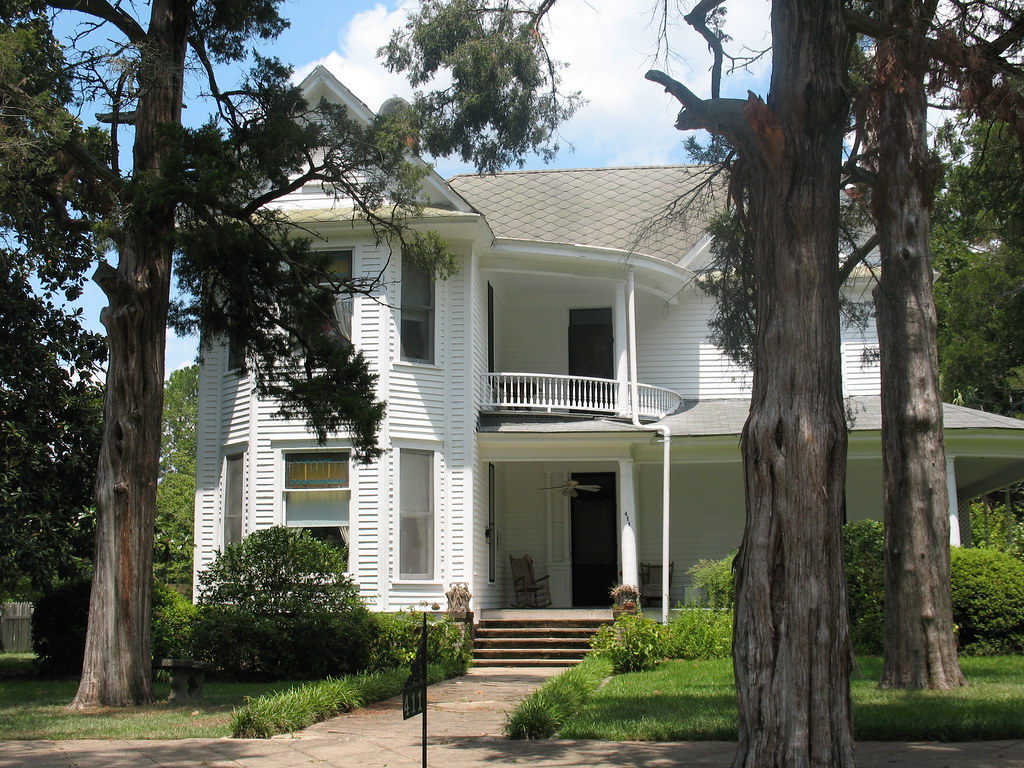
House 2 Gaskin Av HD Douglas GA
Okefenokee Swamp Trip
General Coffee Seventeen Mile River-Drought
General Coffee Seventeen Mile River-Drought
General Coffee Seventeen Mile River-Drought

0944 Donkey Img_4996
Okefenokee Swamp Trip

JOLIS REFLETS, DOUGLAS, GEORGIA, USA
Topographic Map of Douglas Broxton Hwy, Broxton, GA, USA
Find elevation by address:

Places near Douglas Broxton Hwy, Broxton, GA, USA:
336 Phelps Rd
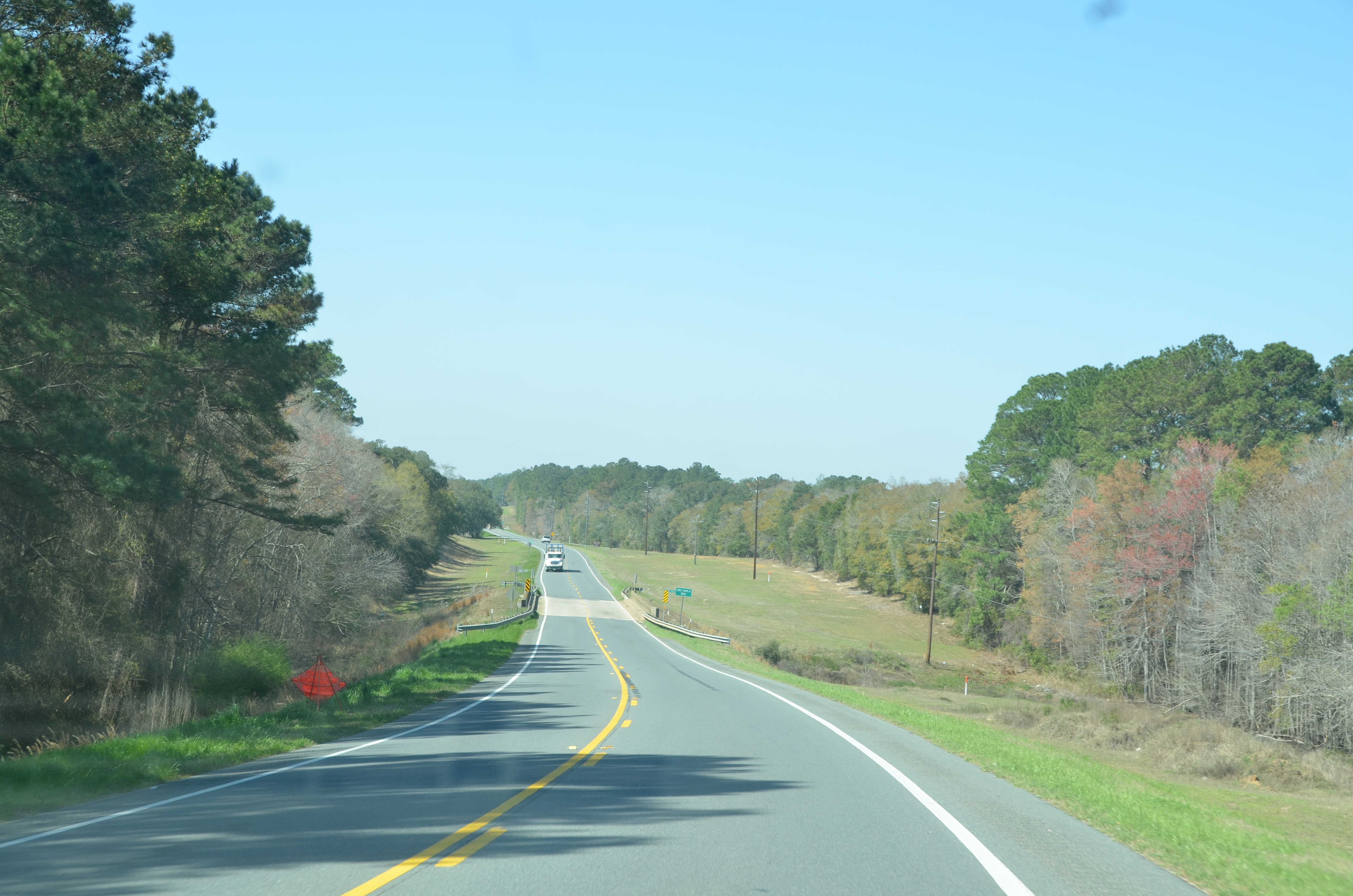
GA- Connector, Douglas, GA, USA
Frank Vaughn Road
Broxton
Alabama St, Broxton, GA, USA
157 Quail Hollow Rd
US-, Douglas, GA, USA
726 Forest Cir
Coffee County
Douglas
Palmetto Rd, Douglas, GA, USA
General Coffee State Park
Sioux Trail
Burton Road
Willacoochee Hwy, Douglas, GA, USA
46 John Coffee Rd
46 John Coffee Rd
US-, West Green, GA, USA
West Green
Chatterton Ch Rd, Nicholls, GA, USA
Recent Searches:
- Elevation of Corso Fratelli Cairoli, 35, Macerata MC, Italy
- Elevation of Tallevast Rd, Sarasota, FL, USA
- Elevation of 4th St E, Sonoma, CA, USA
- Elevation of Black Hollow Rd, Pennsdale, PA, USA
- Elevation of Oakland Ave, Williamsport, PA, USA
- Elevation of Pedrógão Grande, Portugal
- Elevation of Klee Dr, Martinsburg, WV, USA
- Elevation of Via Roma, Pieranica CR, Italy
- Elevation of Tavkvetili Mountain, Georgia
- Elevation of Hartfords Bluff Cir, Mt Pleasant, SC, USA