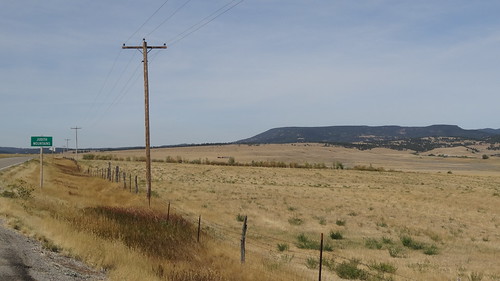
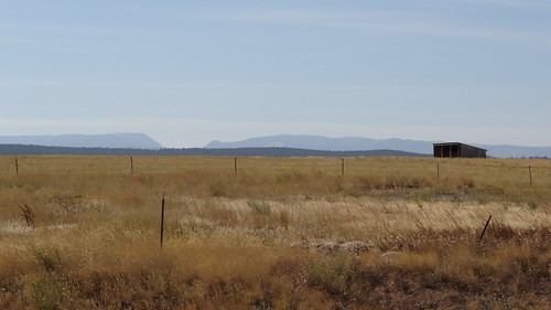
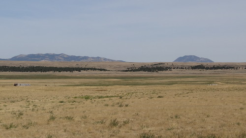
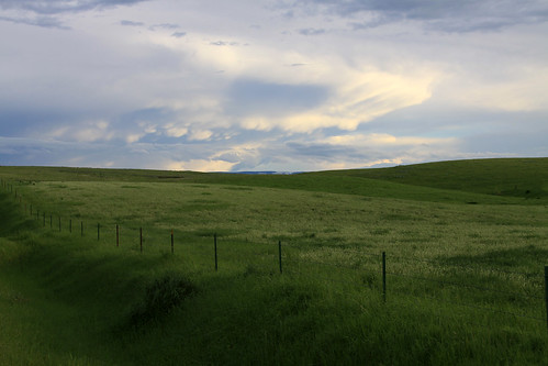
Elevation of US-87, Lewistown, MT, USA

Location: United States > Montana > Fergus County > Lewistown >

Longitude: -109.25279

Latitude: 47.071647

Elevation: 1409m / 4623feet

Barometric Pressure: 85KPa

Elevation Map:

elevation map of US-87, Lewistown, MT, USA

Satellite Map:

Satellite map of US-87, Lewistown, MT, USA

Related Photos:

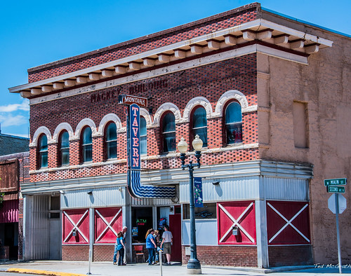
2019 cropped montana nikon nikond750 nikonfx tedmcgrath tedsphotos usa vignetting arches mackeybuilding lewistonmackeybuilding mackeybuildinglewiston montanatavern montanatavernlewiston lewistonmontanatavern streetscene street x tavern sign lewistonmainst mainstreetlewiston neonsign bar streetlamp streetlight
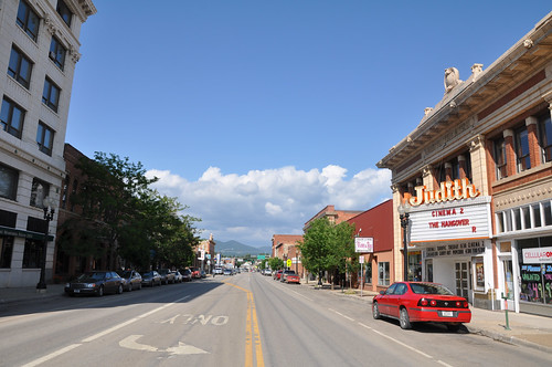
2019 - Road Trip - 106 - Lewiston - 2 - Mackey Building
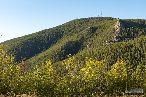
judithmountains montana august summer evening nikond750 tamron2470mmf28 sunny blue sky judithpeak blm radiotowers forest
Looking Up At Judith
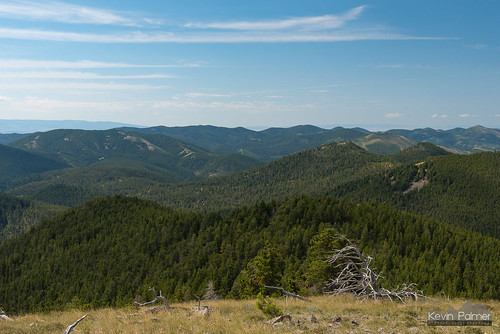
judithmountains september montana nikond750 tamron2470mmf28 collarpeak clouds sky blm summit scenic view
View From Collar Peak
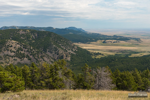
judithmountains september montana nikond750 tamron2470mmf28 collarpeak clouds sky blm summit scenic view
From the Judiths to the Plains
montana heath milwaukeeroad townsite ferguscounty
Heath, Montana 59449
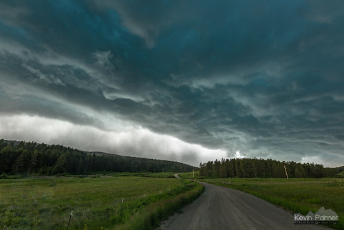
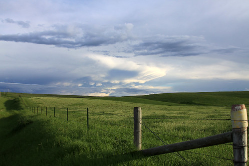
montana june summer nikond750 weather storm stormy severe thunderstorm evening road unpaved sigma14mmf18 fence rain lewistown clouds
Rain is Imminent
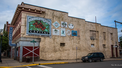
street sign nikon montana streetsign streetscene vehicle cropped vignetting curb lewiston 2016 tedmcgrath tedsphotos nikonfx montanatavern nikond750 lewistonmt lewistonmontana mackeybuilding mackeybuildinglewistonmontana chokecherrycapital montanatavernlewiston chokecherryfestival mackeybuildinglewiston
2016 - Road Trip - Lewiston Montana - 2 of 5
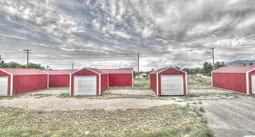
street trek google view processed hdr streetview panamerican lewistown photomatix gsv googlestreetview
Google Street View - Pan-American Trek - Central Montana Storage
street trek google view processed hdr streetview panamerican lewistown photomatix gsv googlestreetview
Google Street View - Pan-American Trek - Ag in Lewiston
street trek google view processed hdr streetview panamerican lewistown photomatix gsv googlestreetview
Google Street View - Pan-American Trek - Did Montana really look like this?
street panorama trek google view pan processed hdr streetview panamerican lewistown photomatix gsv googlestreetview
Google Street View - Pan-American Trek - Lewistown, Montana
montana fortmaginnis ferguscounty judithmountains collarpeak
Fort Maginnis, Montana
montana lewistown townsite ferguscounty judithmountains
Lewistown, Montana 59457
montana postoffice forestgrove ferguscounty
Forestgrove, Montana 59441
montana judithmountains ferguscounty burnettepeak newyearpeak judithpeak collarpeak
Judith Mountains
montana ghosttown ferguscounty giltedge judithmountains
Giltedge, Montana
montana prairie townsite ferguscounty judithmountains novary
Novary, Montana
xmap
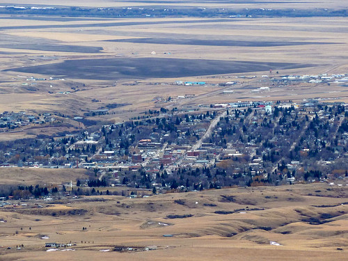
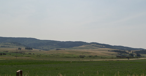
The view from the Lewistown Divide
street montana mt view lewistown mappingmainstreet
MappingMainStreet_LewistownMT-36
vacation usa buildings mainstreet montana mt tour courthouse 2010 frontview lewistown sr200 usa87 courthousehistoricdistrict
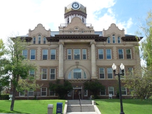
391 Montana, SR200, Lewistown, Main Street, Courthouse, Front View
street montana mt view lewistown mappingmainstreet
MappingMainStreet_LewistownMT-6
chfstew montana mtferguscounty landscape panorama
Judith Mountains, Fergus County, MT
chfstew montana mtferguscounty landscape
Judith Mountains, Fergus County, MT (3)
chfstew montana mtferguscounty landscape
Judith Mountains, Fergus County, MT (4)
chfstew montana mtferguscounty landscape
Judith Mountains, Fergus County, MT (2)
blue sky storm tree green field grass clouds fence evening montana farm gray overcast prairie lewistown judithbasin
Lewistown Scenes: grassland
blue sky storm tree green field grass clouds fence evening montana farm gray overcast prairie lewistown judithbasin
Lewistown Scenes: grassland
Nikon assignment
montana mtwy15
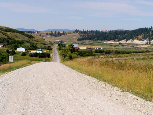
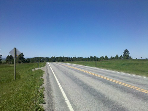
Montana Judith Mountains US-87 (#0434)