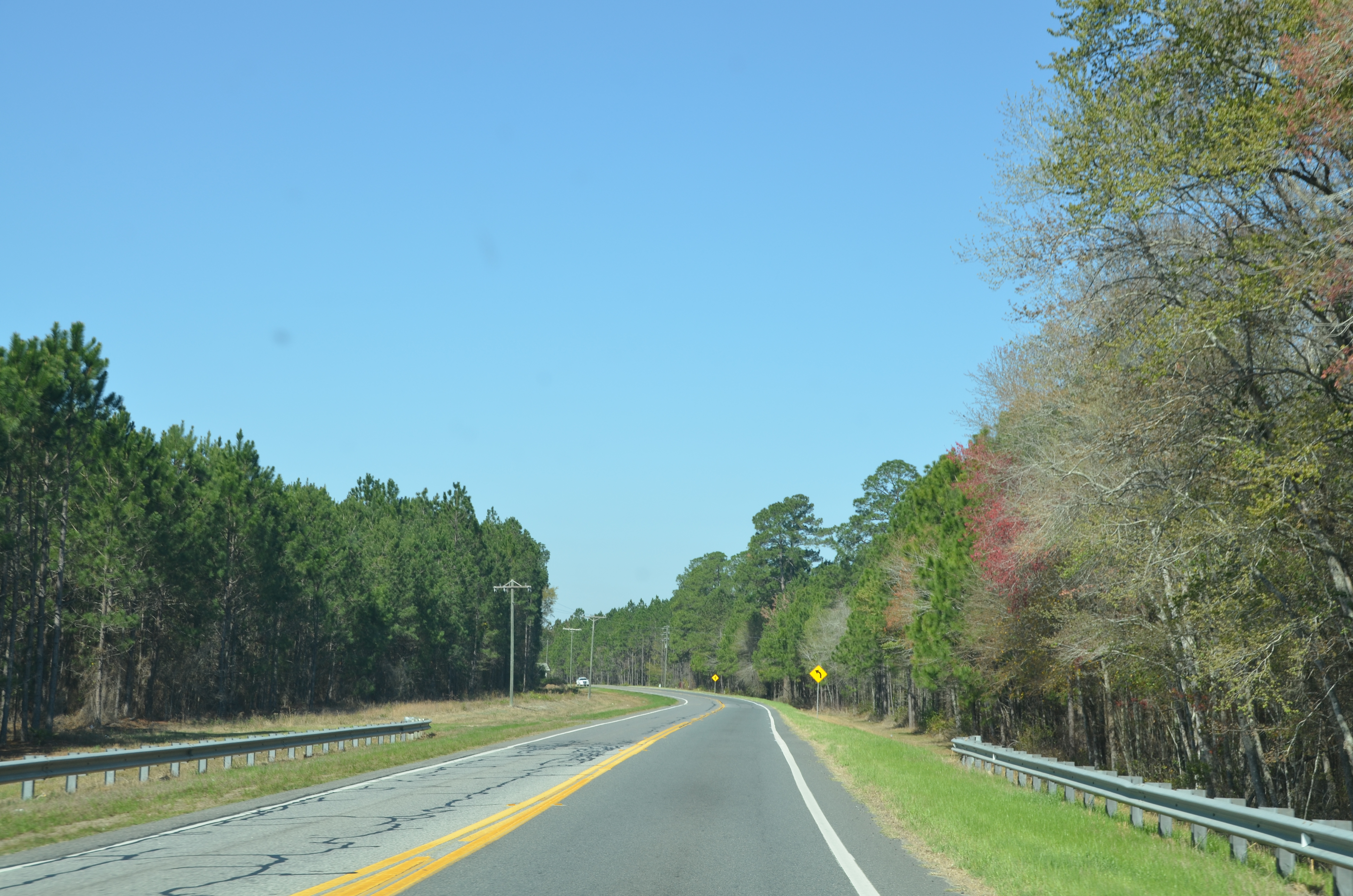
Elevation of US-84, Blackshear, GA, USA
Location: United States > Georgia > Pierce County > Blackshear >
Longitude: -82.2772381
Latitude: 31.2755083
Elevation: 45m / 148feet
Barometric Pressure: 0KPa
Related Photos:
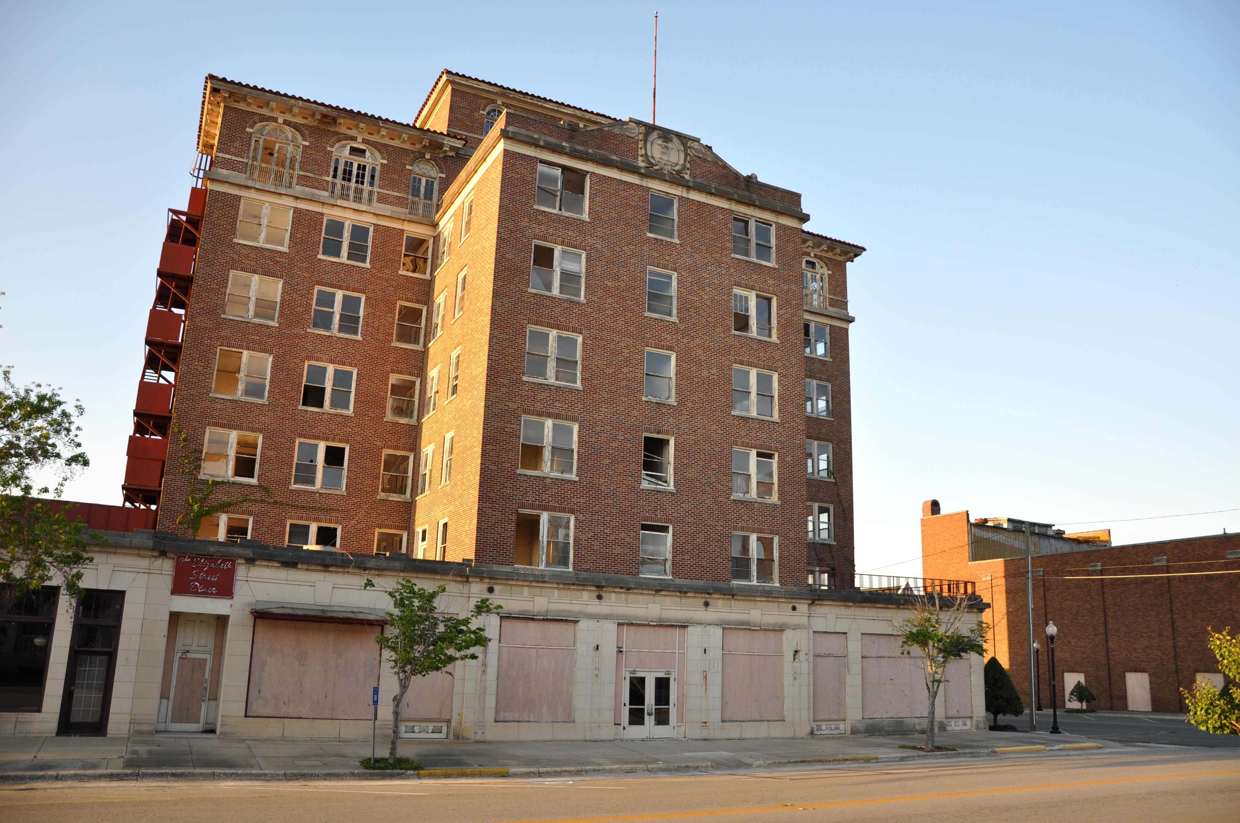
The Ware

Pond View

Plant Park Memorial Fountain
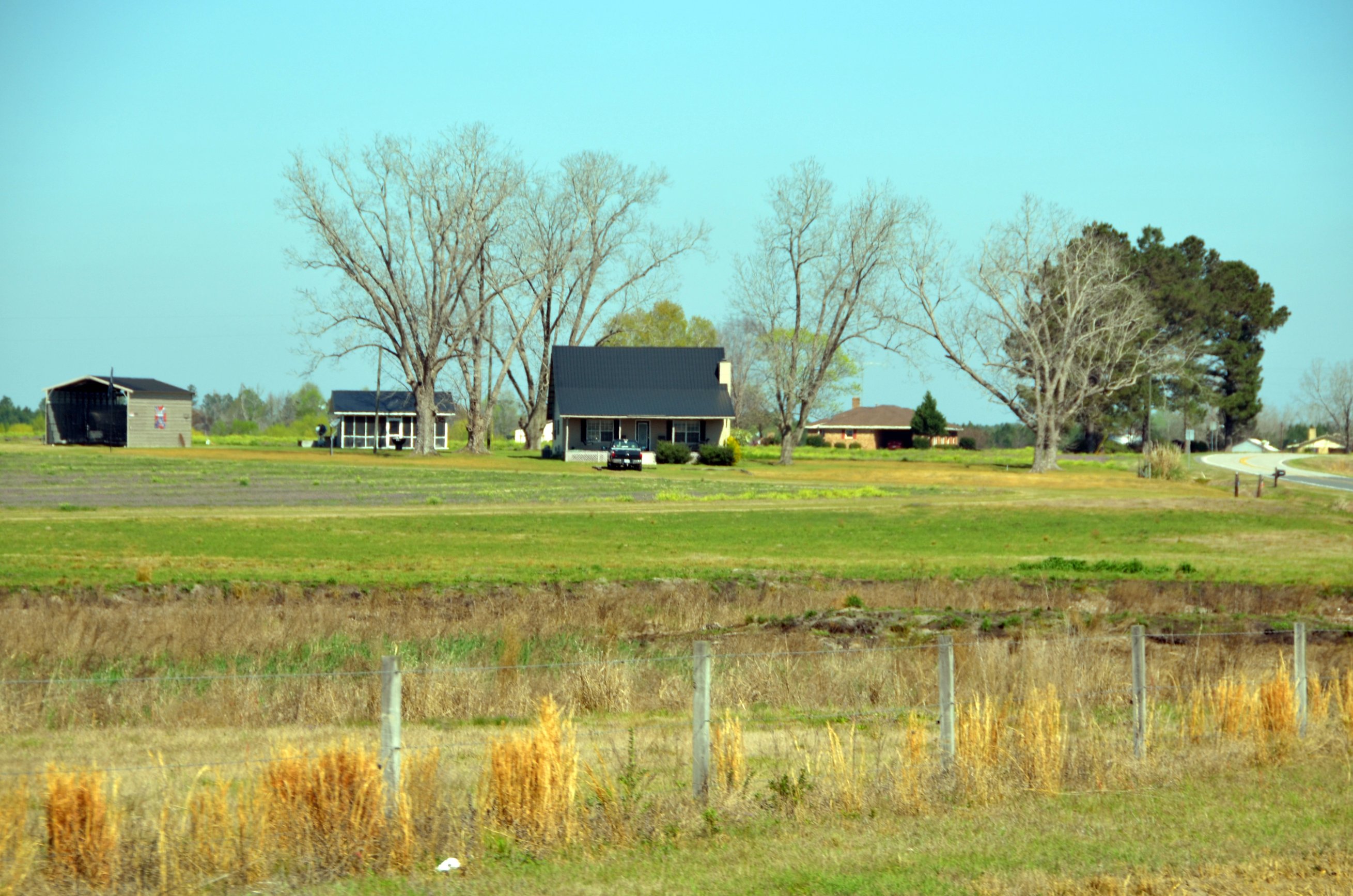
Okefenokee Swamp Trip
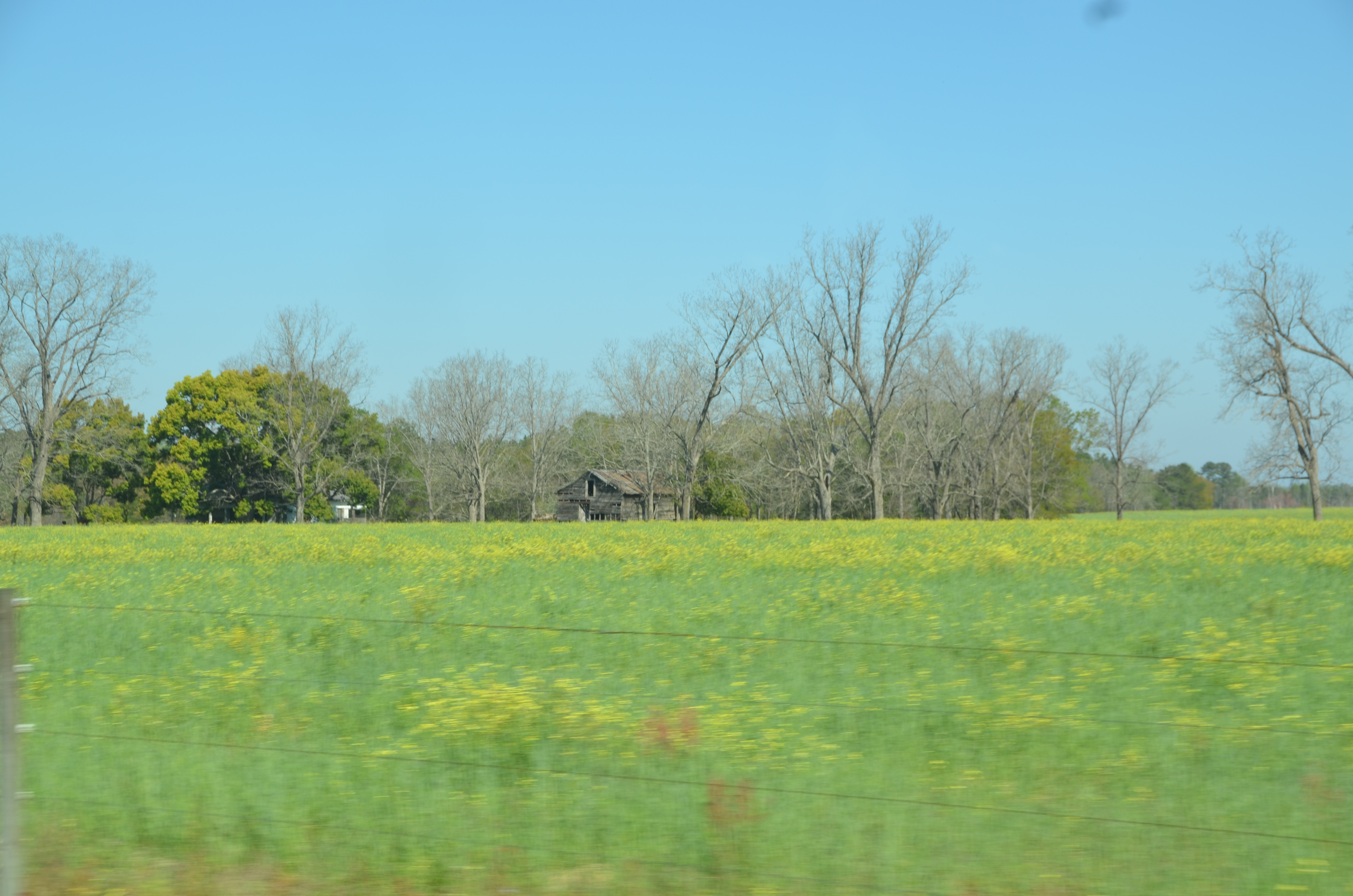
Okefenokee Swamp Trip

pink dawn

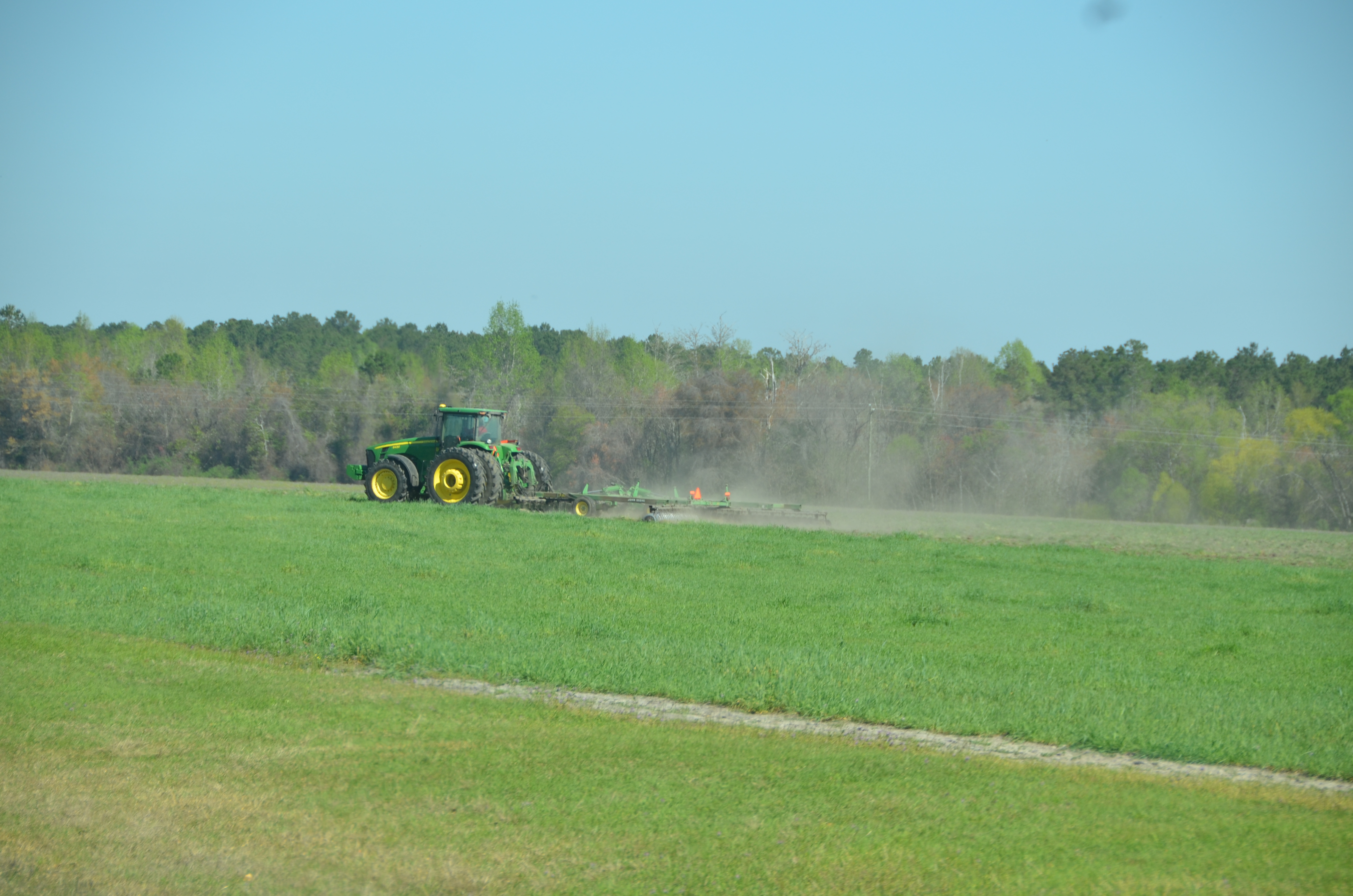
Okefenokee Swamp Trip

Okefenokee Swamp Trip
Okefenokee Swamp Trip
DSC_1308.JPG
Okefenokee Swamp Trip
Okefenokee Swamp Trip
Okefenokee Swamp Trip
Okefenokee Swamp Trip

DSC_1309.JPG
Topographic Map of US-84, Blackshear, GA, USA
Find elevation by address:

Places near US-84, Blackshear, GA, USA:
3244 Midway Church Rd
1628 Seminole Springs Rd
4110 Jeb Stuart Dr
2506 Sunnyside Dr
1505 Seminole Trail
125 Plantation Dr
1302 Dean Dr
67 Pecan Rd
806 Coral Rd
2515 Dorothy St
1760 Memorial Dr
750 Lynn Ln
Waycross
Ware County Clerk-superior Court
412 Browns Ln
1107 Margaret St
75 Garlington Heights, Waycross, GA, USA
Jacksonville Hwy, Waycross, GA, USA
Lake St, Waycross, GA, USA
Delaware Avenue
Recent Searches:
- Elevation map of Greenland, Greenland
- Elevation of Sullivan Hill, New York, New York, 10002, USA
- Elevation of Morehead Road, Withrow Downs, Charlotte, Mecklenburg County, North Carolina, 28262, USA
- Elevation of 2800, Morehead Road, Withrow Downs, Charlotte, Mecklenburg County, North Carolina, 28262, USA
- Elevation of Yangbi Yi Autonomous County, Yunnan, China
- Elevation of Pingpo, Yangbi Yi Autonomous County, Yunnan, China
- Elevation of Mount Malong, Pingpo, Yangbi Yi Autonomous County, Yunnan, China
- Elevation map of Yongping County, Yunnan, China
- Elevation of North 8th Street, Palatka, Putnam County, Florida, 32177, USA
- Elevation of 107, Big Apple Road, East Palatka, Putnam County, Florida, 32131, USA
- Elevation of Jiezi, Chongzhou City, Sichuan, China
- Elevation of Chongzhou City, Sichuan, China
- Elevation of Huaiyuan, Chongzhou City, Sichuan, China
- Elevation of Qingxia, Chengdu, Sichuan, China
- Elevation of Corso Fratelli Cairoli, 35, Macerata MC, Italy
- Elevation of Tallevast Rd, Sarasota, FL, USA
- Elevation of 4th St E, Sonoma, CA, USA
- Elevation of Black Hollow Rd, Pennsdale, PA, USA
- Elevation of Oakland Ave, Williamsport, PA, USA
- Elevation of Pedrógão Grande, Portugal