Elevation of Pierce County, GA, USA
Location: United States > Georgia >
Longitude: -82.1713632
Latitude: 31.343806
Elevation: 36m / 118feet
Barometric Pressure: 0KPa
Related Photos:
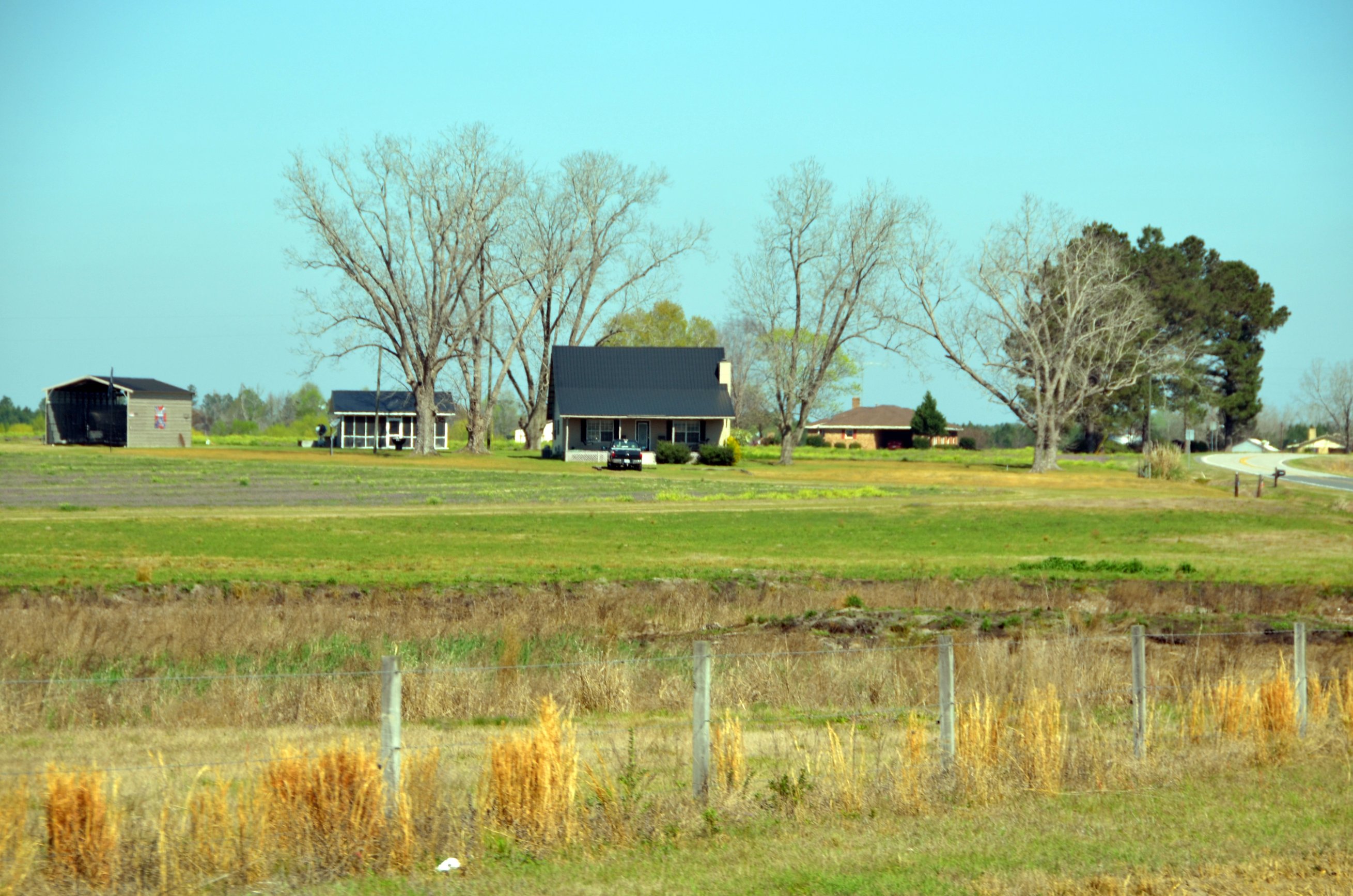
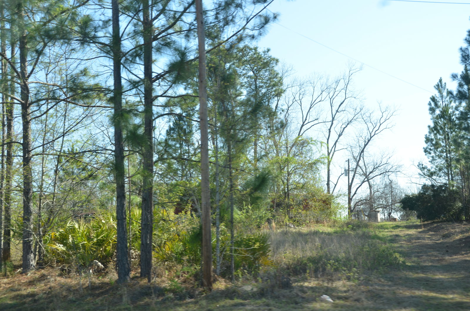
Okefenokee Swamp Trip
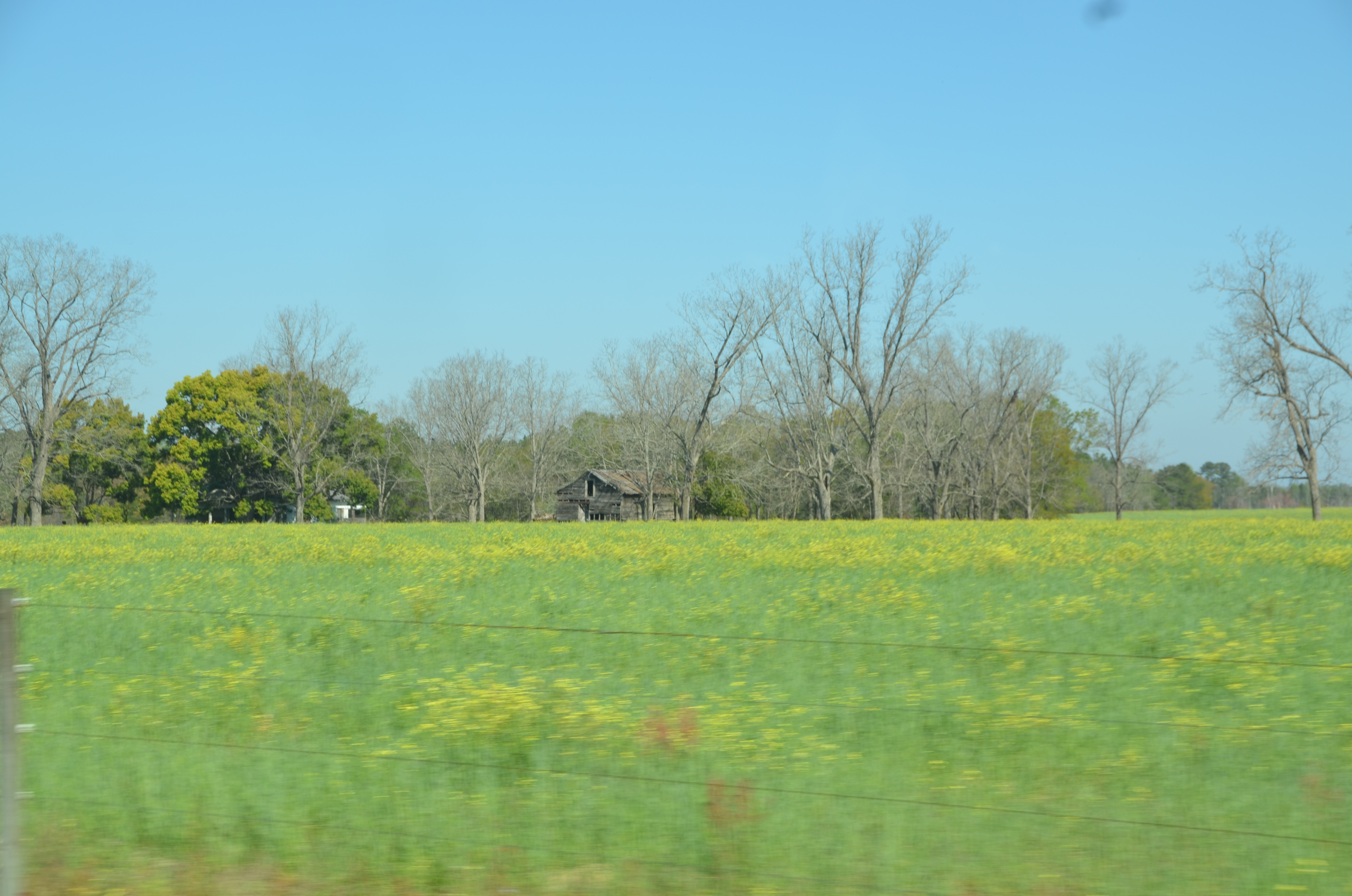
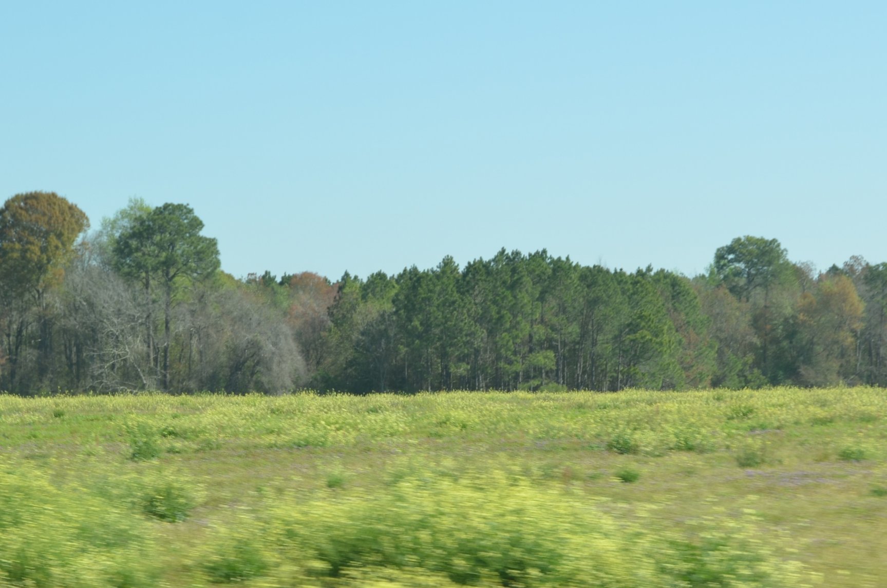
Okefenokee Swamp Trip

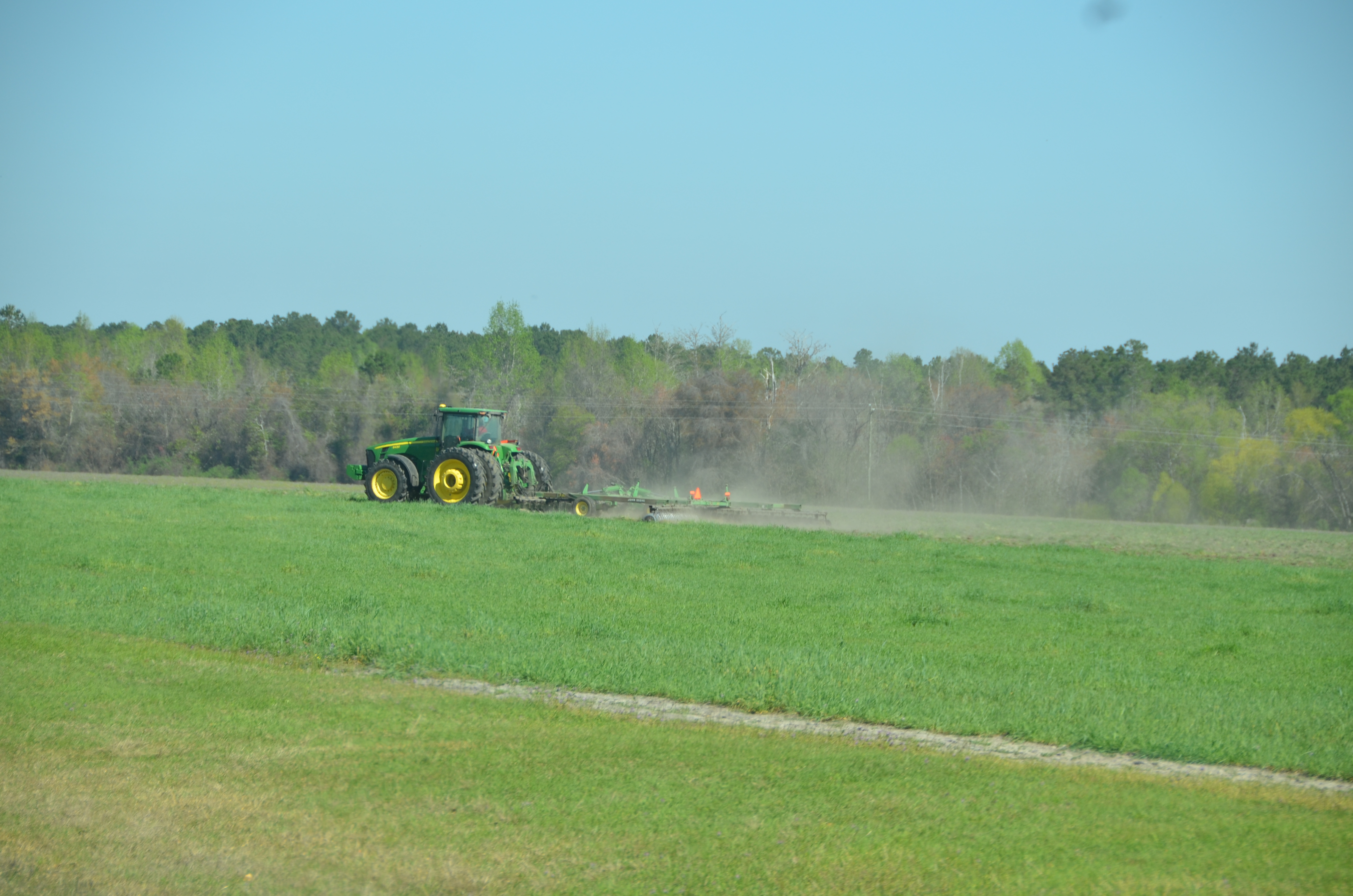
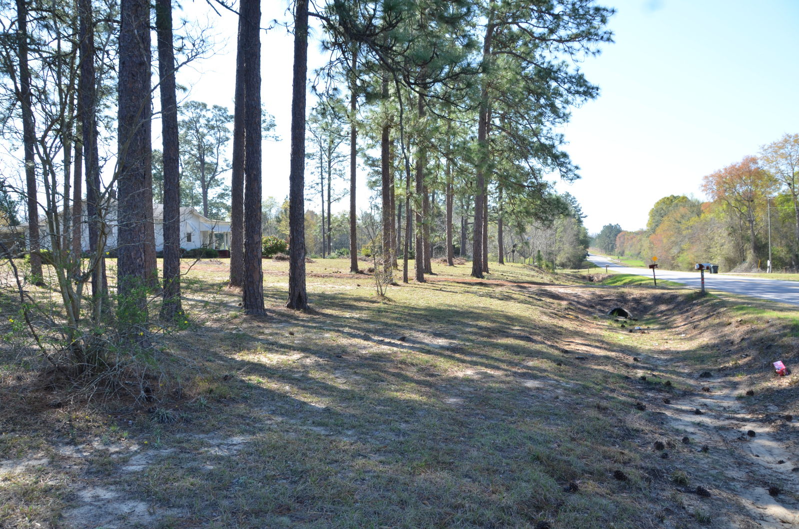
Okefenokee Swamp Trip

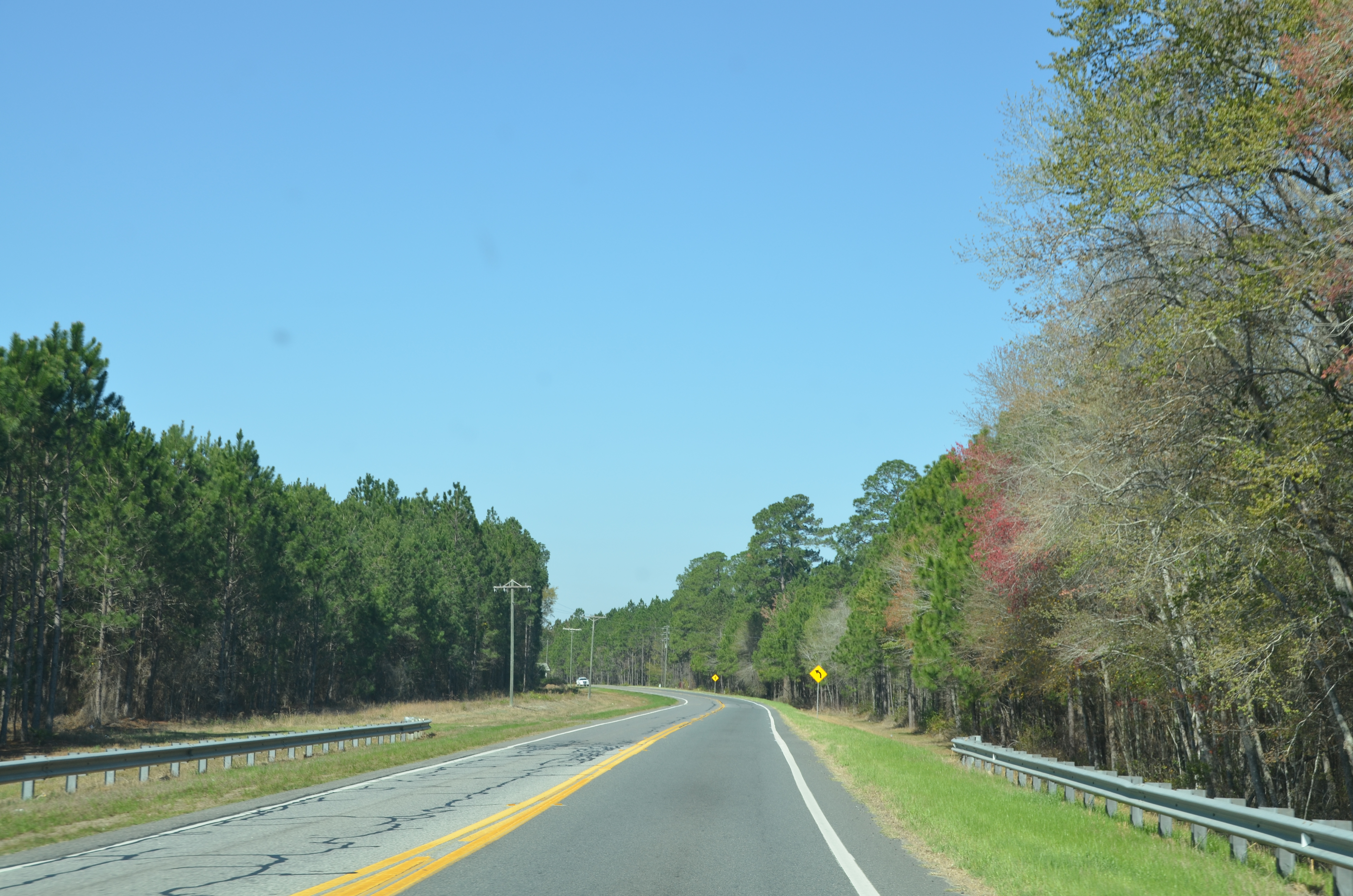
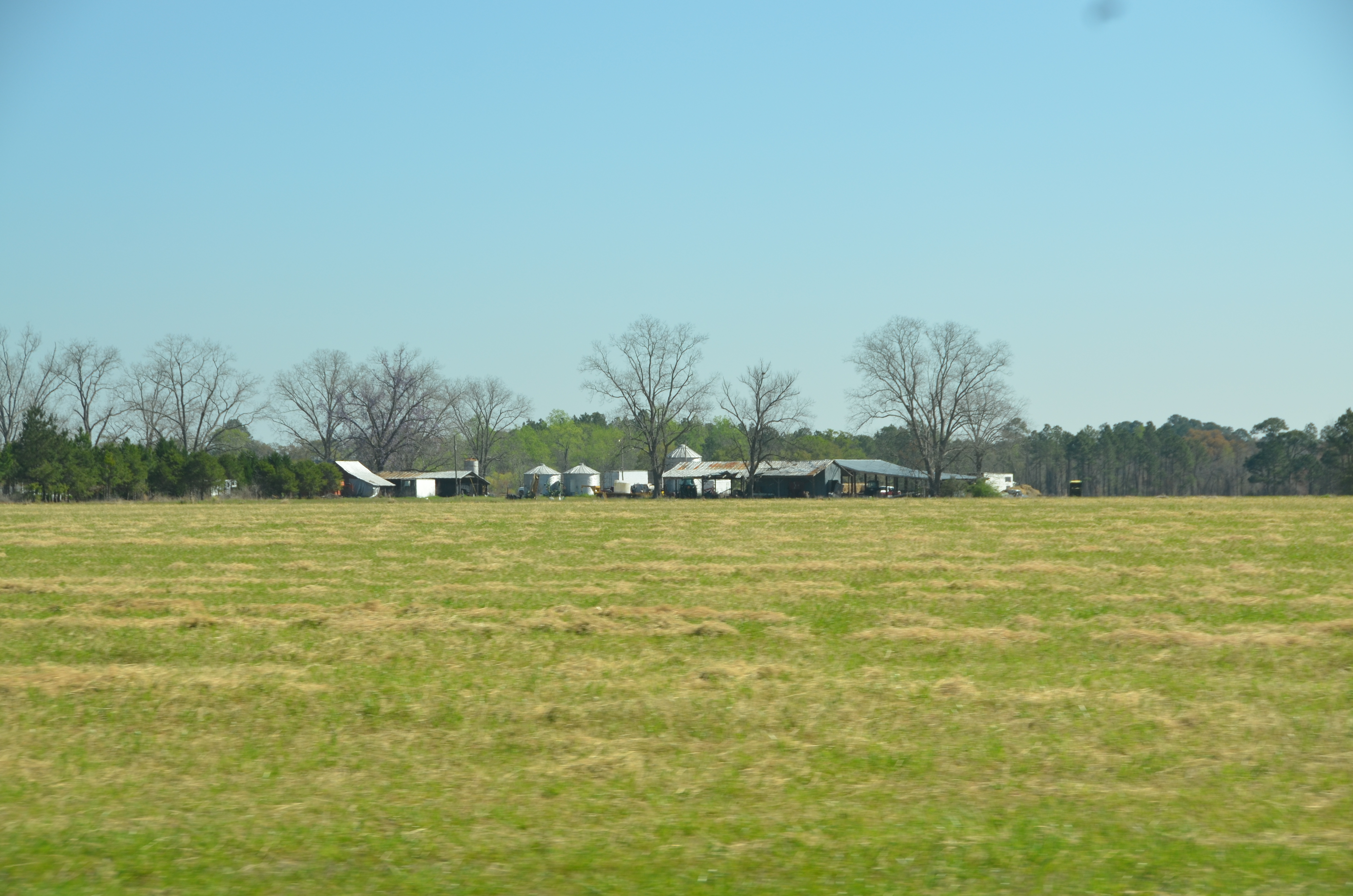
Okefenokee Swamp Trip
Okefenokee Swamp Trip
DSC_1308.JPG
Okefenokee Swamp Trip
Okefenokee Swamp Trip
Okefenokee Swamp Trip
Okefenokee Swamp Trip

DSC_1309.JPG
Topographic Map of Pierce County, GA, USA
Find elevation by address:

Places in Pierce County, GA, USA:
Places near Pierce County, GA, USA:
Owens Rd, Blackshear, GA, USA
Stanfield Rd, Patterson, GA, USA
US-84, Patterson, GA, USA
Patterson
4456 Alabaha Woods Dr
Blackshear
1107 College Ave
GA-38, Patterson, GA, USA
4281 White Tail Way
5650 Womack Rd
Bristol
Dean Still Rd, Blackshear, GA, USA
US-84, Blackshear, GA, USA
6643 Pine Ridge Cir
3244 Midway Church Rd
Mershon
4979 Stanfield Rd
Brantley Ave, Hoboken, GA, USA
Hoboken
430 Nebraska Rd
Recent Searches:
- Elevation map of Greenland, Greenland
- Elevation of Sullivan Hill, New York, New York, 10002, USA
- Elevation of Morehead Road, Withrow Downs, Charlotte, Mecklenburg County, North Carolina, 28262, USA
- Elevation of 2800, Morehead Road, Withrow Downs, Charlotte, Mecklenburg County, North Carolina, 28262, USA
- Elevation of Yangbi Yi Autonomous County, Yunnan, China
- Elevation of Pingpo, Yangbi Yi Autonomous County, Yunnan, China
- Elevation of Mount Malong, Pingpo, Yangbi Yi Autonomous County, Yunnan, China
- Elevation map of Yongping County, Yunnan, China
- Elevation of North 8th Street, Palatka, Putnam County, Florida, 32177, USA
- Elevation of 107, Big Apple Road, East Palatka, Putnam County, Florida, 32131, USA
- Elevation of Jiezi, Chongzhou City, Sichuan, China
- Elevation of Chongzhou City, Sichuan, China
- Elevation of Huaiyuan, Chongzhou City, Sichuan, China
- Elevation of Qingxia, Chengdu, Sichuan, China
- Elevation of Corso Fratelli Cairoli, 35, Macerata MC, Italy
- Elevation of Tallevast Rd, Sarasota, FL, USA
- Elevation of 4th St E, Sonoma, CA, USA
- Elevation of Black Hollow Rd, Pennsdale, PA, USA
- Elevation of Oakland Ave, Williamsport, PA, USA
- Elevation of Pedrógão Grande, Portugal