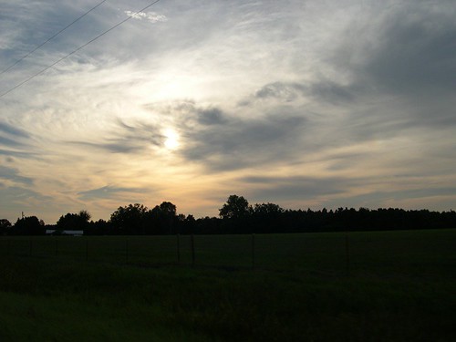
Elevation of US-79, Homer, LA, USA
Longitude: -93.055662
Latitude: 32.7915518
Elevation: 87m / 285feet
Barometric Pressure: 100KPa
Related Photos:
Topographic Map of US-79, Homer, LA, USA
Find elevation by address:

Places near US-79, Homer, LA, USA:
Arizona Rd, Homer, LA, USA
LA-9, Homer, LA, USA
Cato Rd, Athens, LA, USA
Columbia Rd, Emerson, AR, USA
S 3rd, Gibsland, LA, USA
6, LA, USA
152 Fields Rd
LA-, Haynesville, LA, USA
Mosley Street
Arcadia
1st St, Arcadia, LA, USA
Dorcheat Rd, Minden, LA, USA
Webster Parish
Par Rd, Gibsland, LA, USA
Mount Lebanon
Main St, Minden, LA, USA
Minden
Allen Dr, Minden, LA, USA
800 Lee St
9, LA, USA
Recent Searches:
- Elevation of Corso Fratelli Cairoli, 35, Macerata MC, Italy
- Elevation of Tallevast Rd, Sarasota, FL, USA
- Elevation of 4th St E, Sonoma, CA, USA
- Elevation of Black Hollow Rd, Pennsdale, PA, USA
- Elevation of Oakland Ave, Williamsport, PA, USA
- Elevation of Pedrógão Grande, Portugal
- Elevation of Klee Dr, Martinsburg, WV, USA
- Elevation of Via Roma, Pieranica CR, Italy
- Elevation of Tavkvetili Mountain, Georgia
- Elevation of Hartfords Bluff Cir, Mt Pleasant, SC, USA


