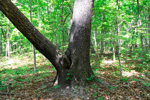
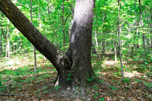
Elevation of US-78, Villa Rica, GA, USA
Location: United States > Georgia > Carroll County > Villa Rica >
Longitude: -84.960208
Latitude: 33.7340563
Elevation: 331m / 1086feet
Barometric Pressure: 97KPa
Related Photos:
Topographic Map of US-78, Villa Rica, GA, USA
Find elevation by address:

Places near US-78, Villa Rica, GA, USA:
Lake Dr, Villa Rica, GA, USA
Rockmart Rd, Villa Rica, GA, USA
349 Lakeridge Dr
444 Thomas Dorsey Dr
221 Maple St
106 Ashbury Dr
Villa Rica
1788 Daniel Rd
2405 Ridgelake Dr
9725 Lakemoore Cove
Temple
740 Sandhill Hickory Level Rd
3325 Lakeview Pkwy
Shady Grove Rd, Carrollton, GA, USA
Red Bud Dr, Villa Rica, GA, USA
3692 Post Rd
60 Kennedy Estate Rd, Carrollton, GA, USA
Post Rd, Winston, GA, USA
Winston
Banks Mill Rd, Douglasville, GA, USA
Recent Searches:
- Elevation of Corso Fratelli Cairoli, 35, Macerata MC, Italy
- Elevation of Tallevast Rd, Sarasota, FL, USA
- Elevation of 4th St E, Sonoma, CA, USA
- Elevation of Black Hollow Rd, Pennsdale, PA, USA
- Elevation of Oakland Ave, Williamsport, PA, USA
- Elevation of Pedrógão Grande, Portugal
- Elevation of Klee Dr, Martinsburg, WV, USA
- Elevation of Via Roma, Pieranica CR, Italy
- Elevation of Tavkvetili Mountain, Georgia
- Elevation of Hartfords Bluff Cir, Mt Pleasant, SC, USA


