Elevation of Temple, GA, USA
Location: United States > Georgia > Carroll County >
Longitude: -85.032445
Latitude: 33.7370514
Elevation: 356m / 1168feet
Barometric Pressure: 97KPa
Elevation Map:
Satellite Map:
Related Photos:
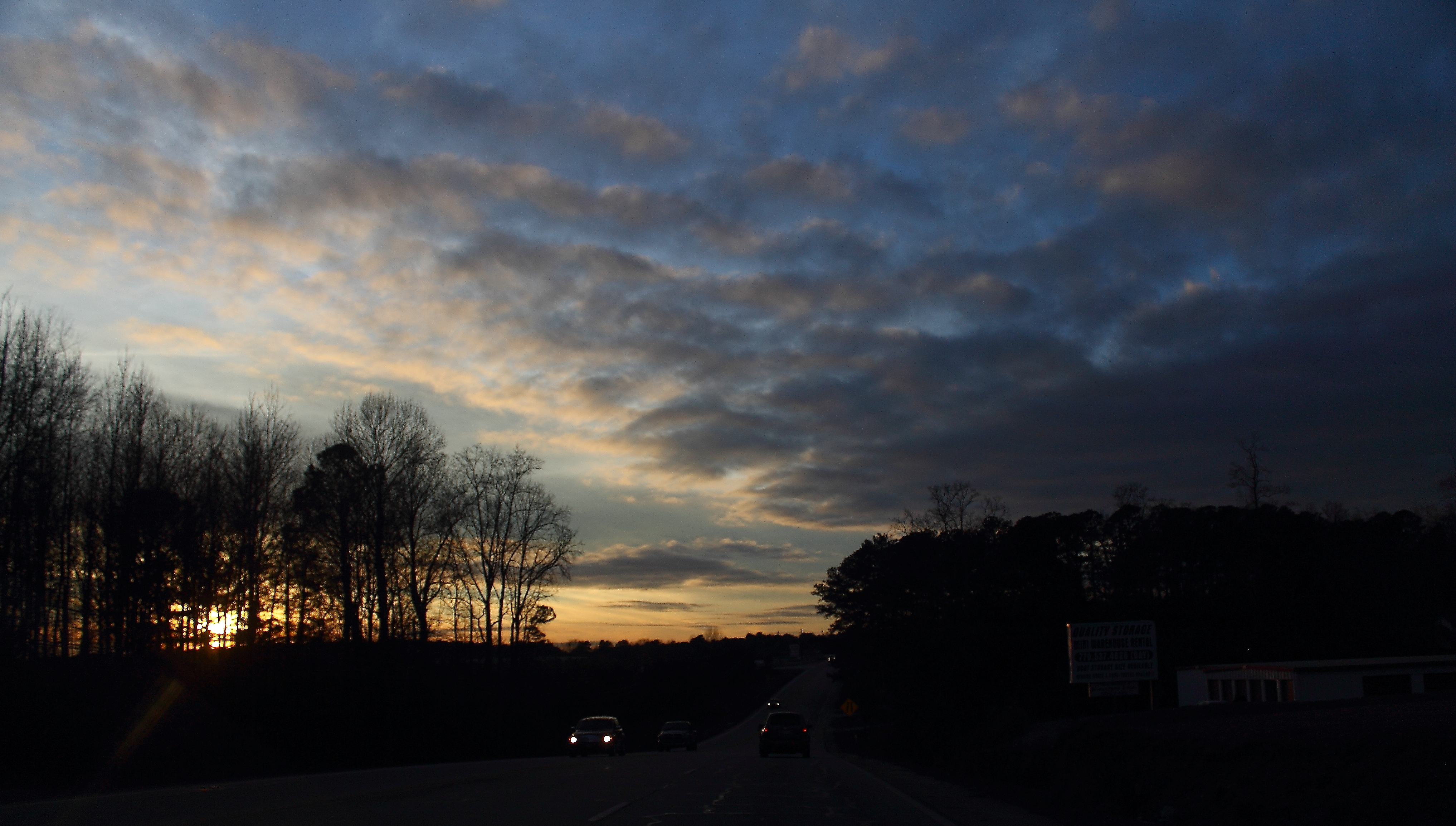
Highway Sunset

Winter Clouds

Clinton#31_1RL4834
Clinton#32_1RL4834

Clinton#40_1RL4849

Clinton#41_1RL4849
Clinton#32_1RL4836

Clinton#43_1RL4857

Clinton#31_1RL4820

Clinton#33_1RL4836

Clinton#30_1RL4820
Clinton#44_1RL4857

Blue Heron fishing
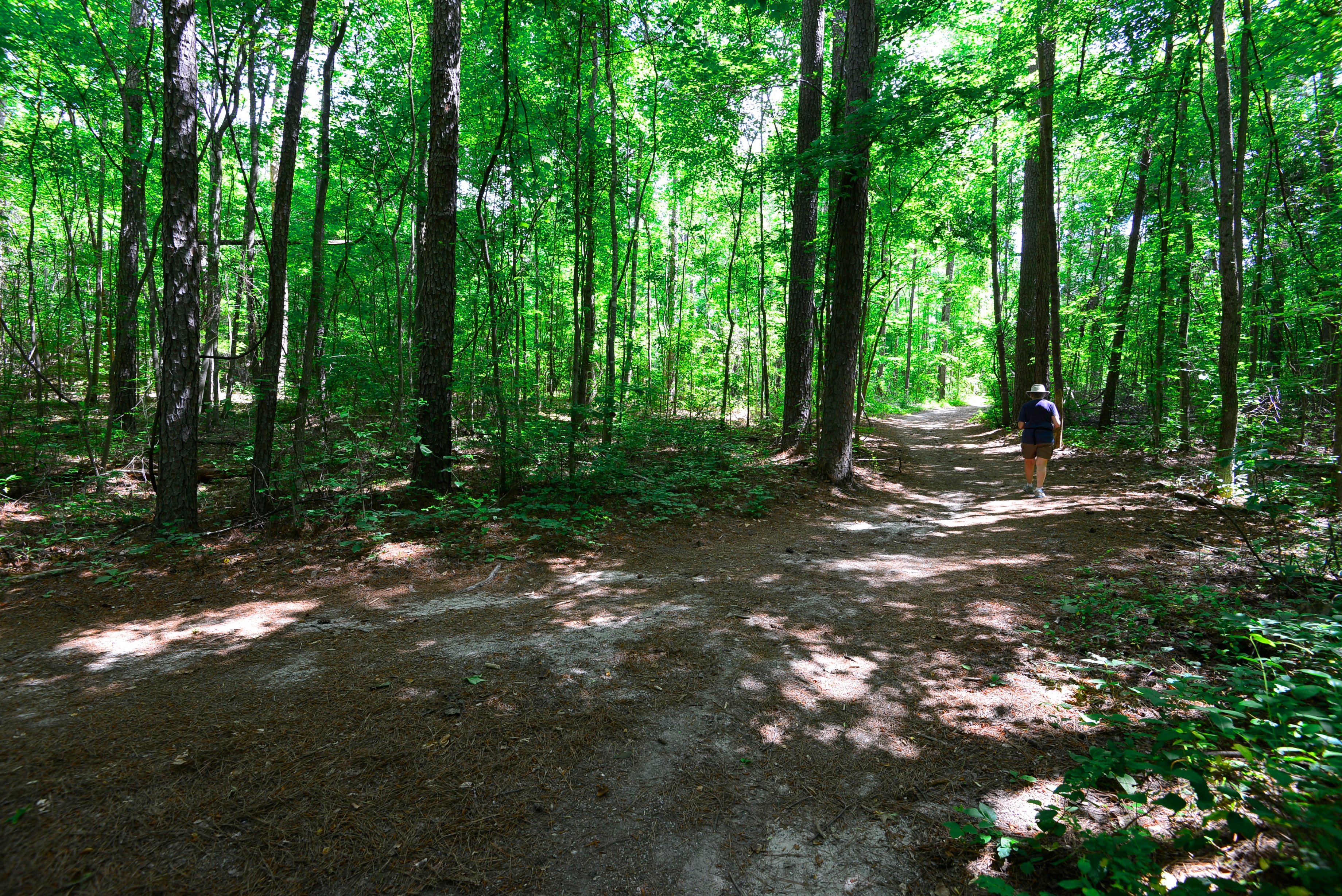
View to the pasture

Clinton#52_1RL4873
Clinton#53_1RL4873

the other cat

Clinton#33_1RL4841
Clinton#34_1RL4841

Clinton#1_1RL4723
Clinton#28_1RL4805

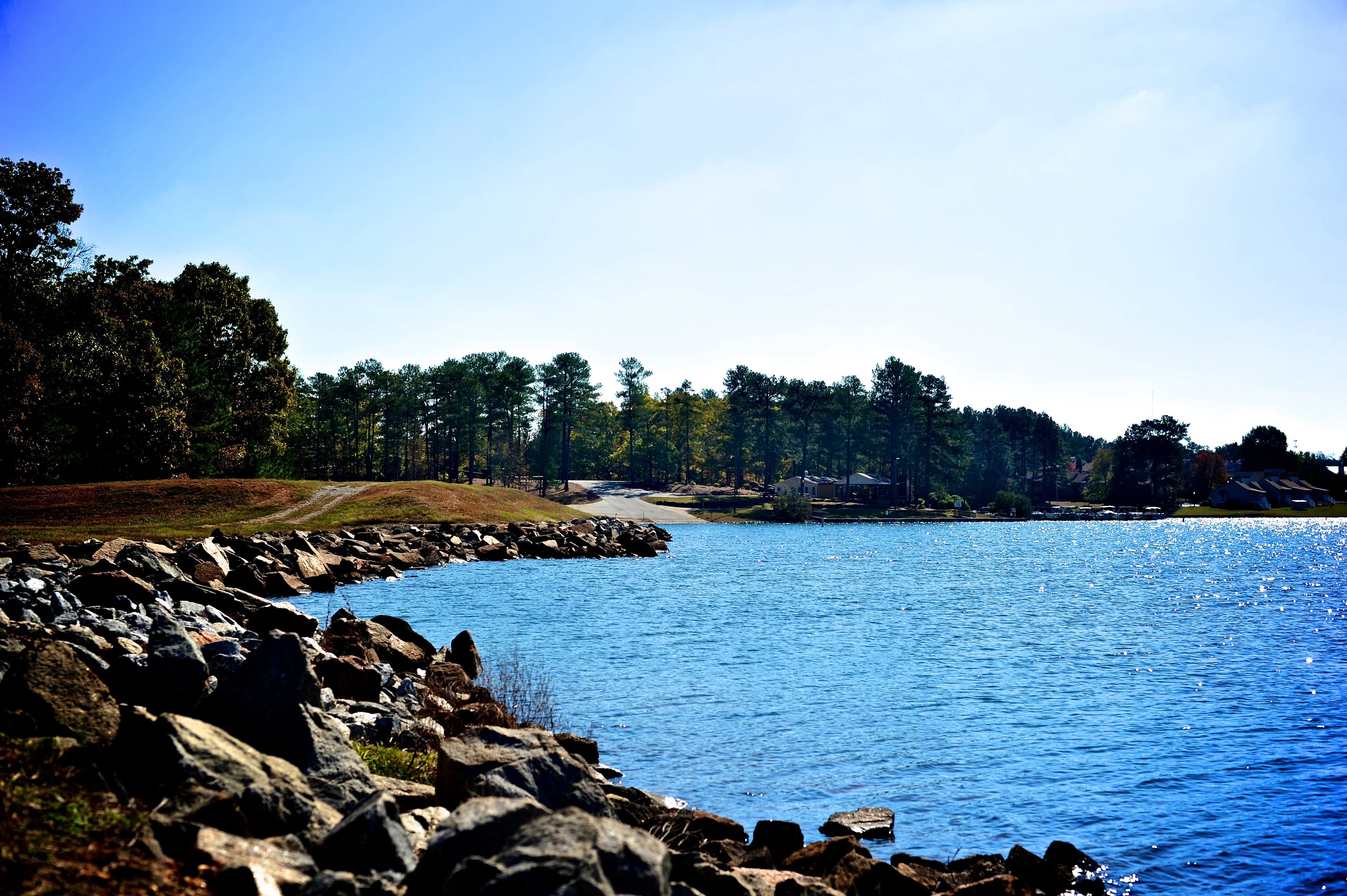
Mirror Lake (Villa Rica, Georgia)

Choose Your Path

Clinton#36_1RL4845
Clinton#37_1RL4845

Drab Female House Finch
Clinton#50_1RL4868

Clinton#21_1RL4788

Clinton#49_1RL4868
2010NOV03-Georgia-176
Clinton#23_1RL4791
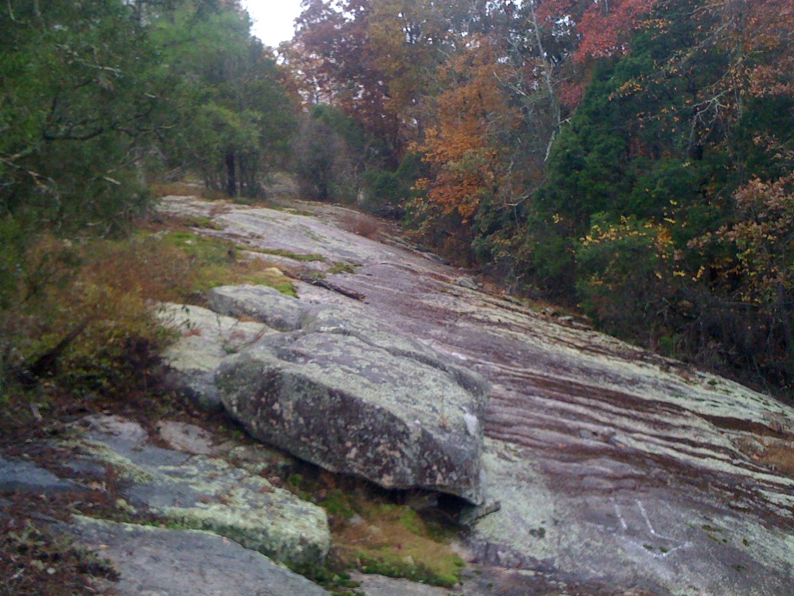
Off Camber Granite
Clinton#53_1RL4879

Clinton#6_1RL4741

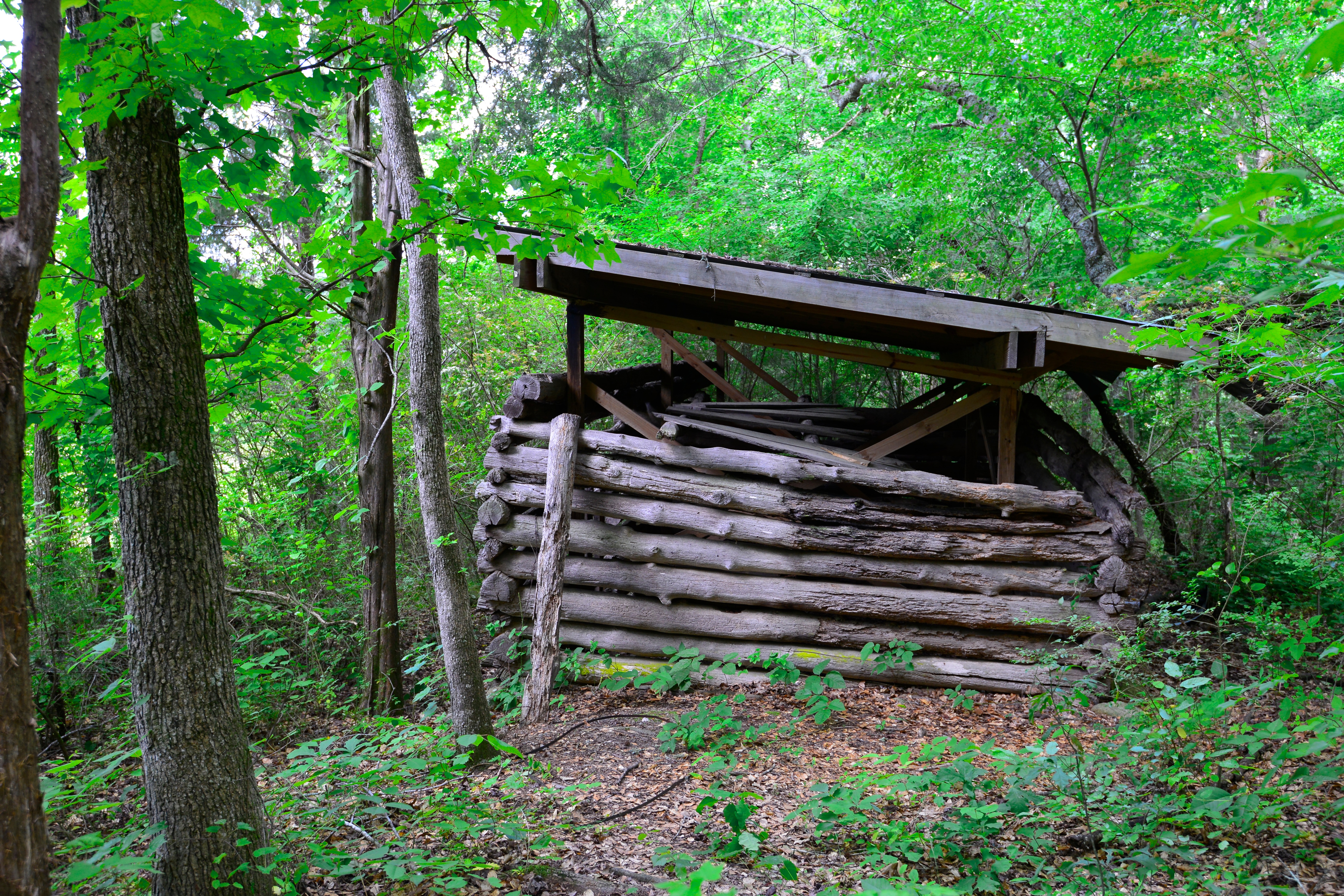
Grist Mill

Clinton#23_1RL4791
Clinton#21_1RL4788
Topographic Map of Temple, GA, USA
Find elevation by address:

Places near Temple, GA, USA:
349 Lakeridge Dr
US-78, Villa Rica, GA, USA
Lake Dr, Villa Rica, GA, USA
740 Sandhill Hickory Level Rd
Shady Grove Rd, Carrollton, GA, USA
Rockmart Rd, Villa Rica, GA, USA
444 Thomas Dorsey Dr
221 Maple St
106 Ashbury Dr
1788 Daniel Rd
Villa Rica
60 Kennedy Estate Rd, Carrollton, GA, USA
75 S Hillside Dr, Carrollton, GA, USA
80 Castlegate Cir, Carrollton, GA, USA
3325 Lakeview Pkwy
2405 Ridgelake Dr
9725 Lakemoore Cove
West Wayside Road
3 Horsley Mill Rd, Carrollton, GA, USA
617 Cedar St
Recent Searches:
- Elevation of Corso Fratelli Cairoli, 35, Macerata MC, Italy
- Elevation of Tallevast Rd, Sarasota, FL, USA
- Elevation of 4th St E, Sonoma, CA, USA
- Elevation of Black Hollow Rd, Pennsdale, PA, USA
- Elevation of Oakland Ave, Williamsport, PA, USA
- Elevation of Pedrógão Grande, Portugal
- Elevation of Klee Dr, Martinsburg, WV, USA
- Elevation of Via Roma, Pieranica CR, Italy
- Elevation of Tavkvetili Mountain, Georgia
- Elevation of Hartfords Bluff Cir, Mt Pleasant, SC, USA