Elevation of US-60, Pampa, TX, USA
Location: United States > Texas > Gray County >
Longitude: -101.06437
Latitude: 35.4860859
Elevation: 1007m / 3304feet
Barometric Pressure: 90KPa
Elevation Map:
Satellite Map:
Related Photos:
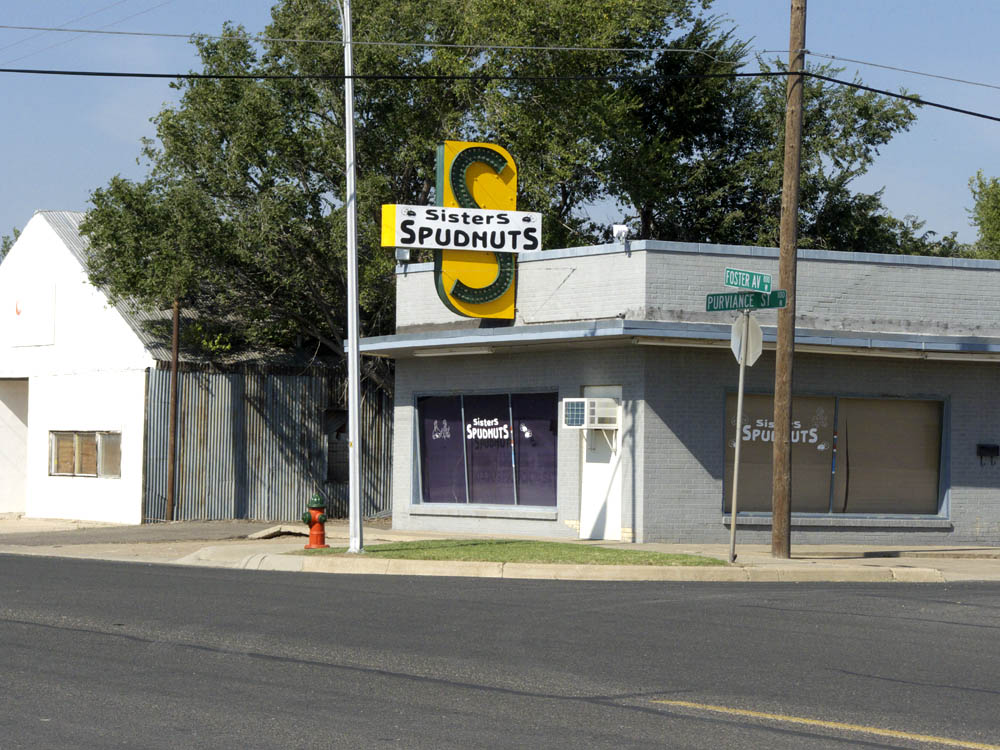
Spudnuts, Pampa Texas

Sunset in Pampa, Texas

Full moon in Pampa, Texas

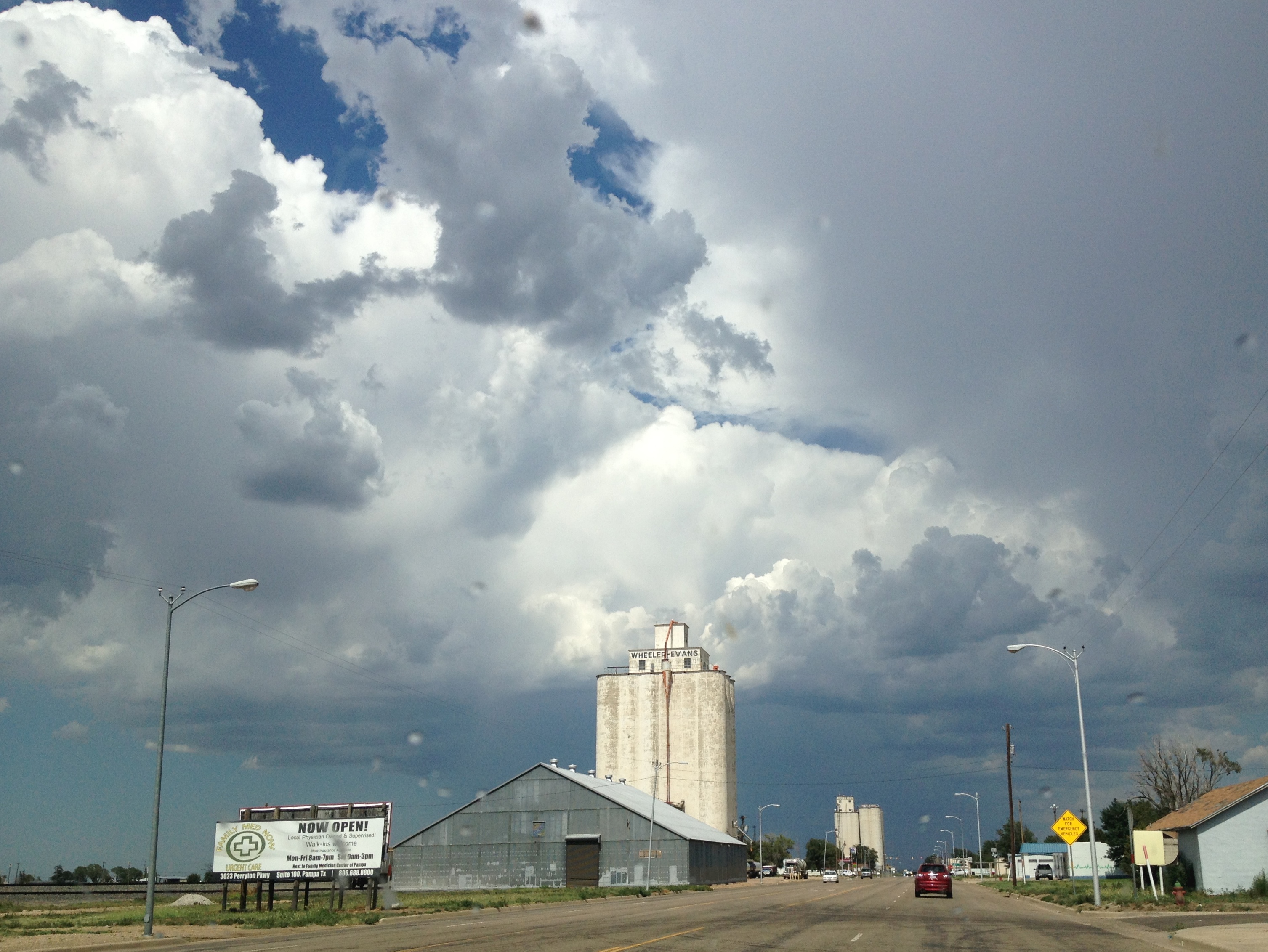
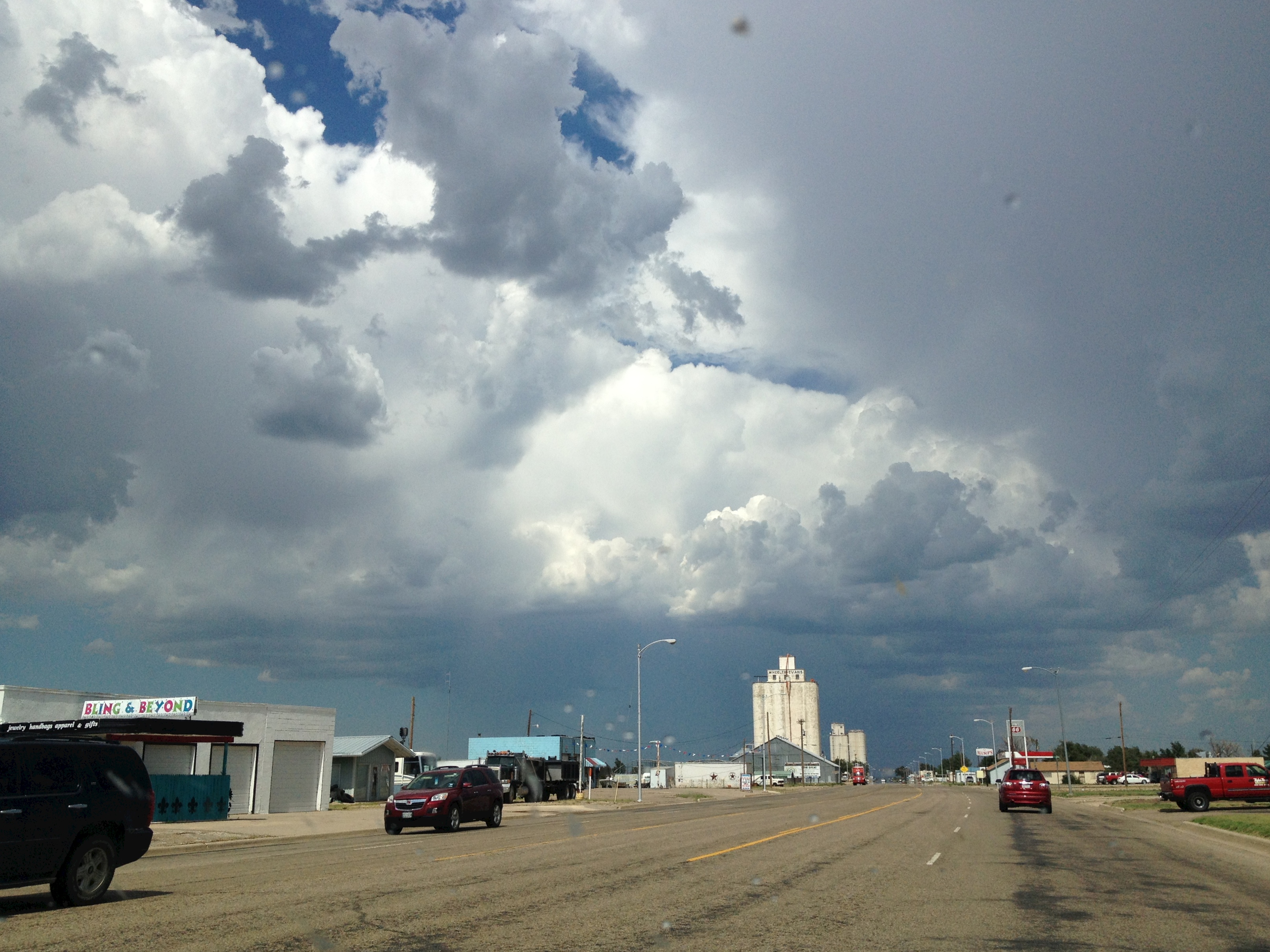
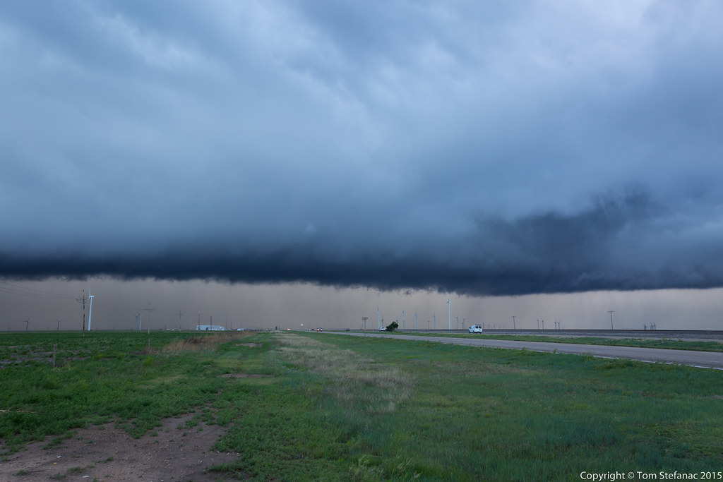
storm starting to form

I love clouds

lighting spring storm

Balanced Rock

Supersonic Event Horizon

Pampa TX - Fords

Pigeon Convention
PampaTX_Aug2013 3092
PampaTX_Aug2013 3091
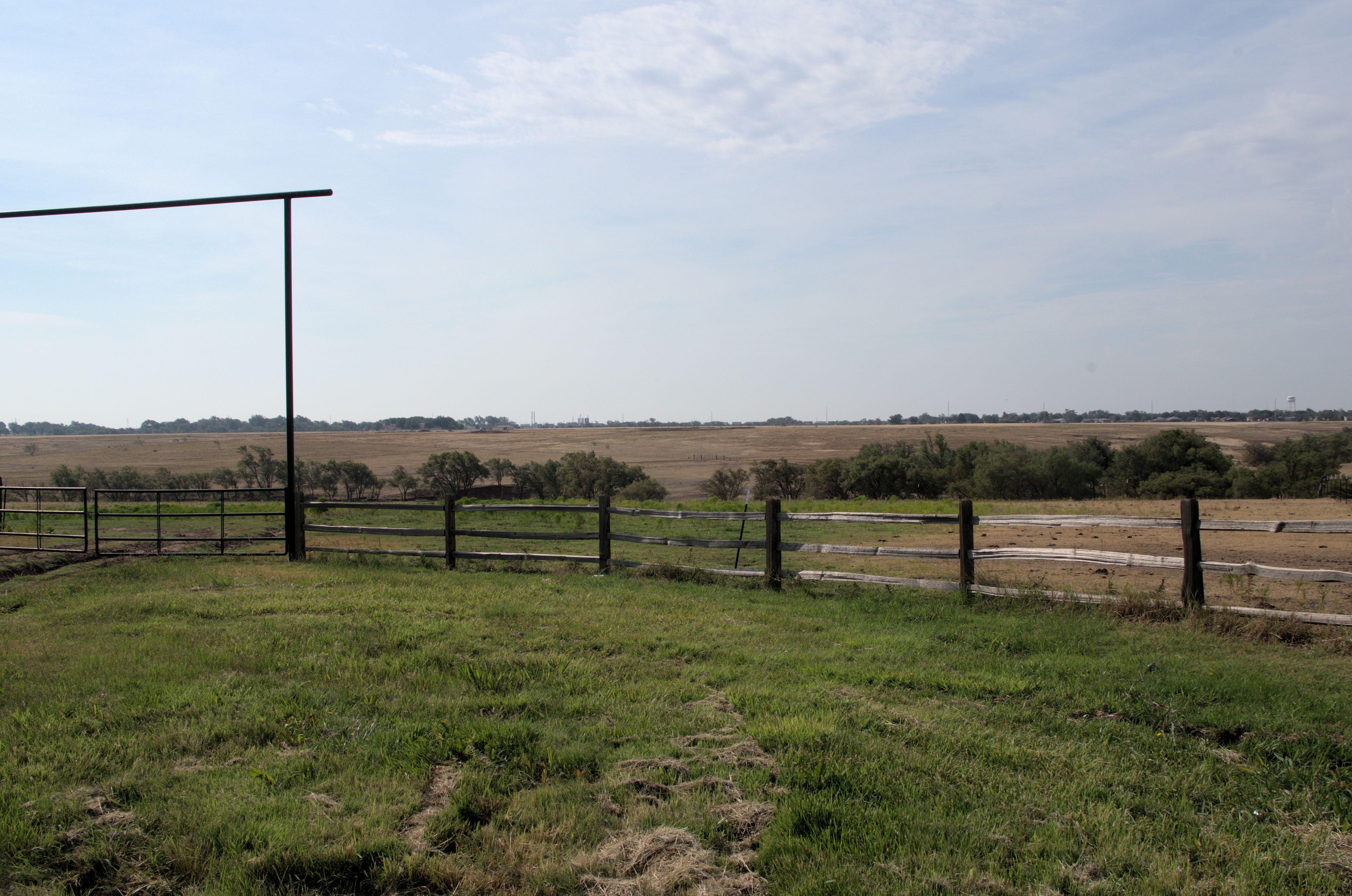
Ranch gate
20150505-_E1A0703.jpg
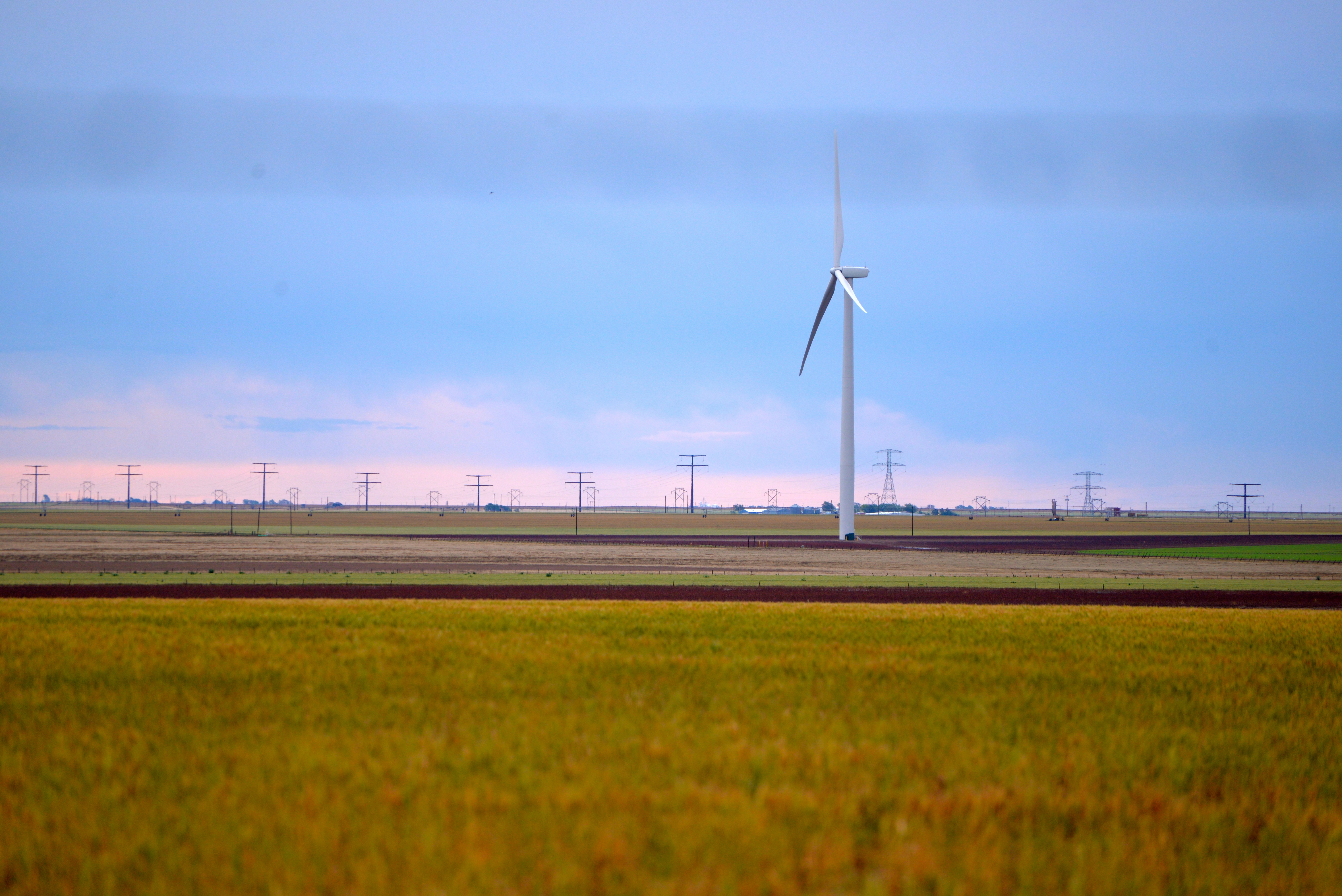
White Deer Wind
Topographic Map of US-60, Pampa, TX, USA
Find elevation by address:

Places near US-60, Pampa, TX, USA:
Pampa
1901 Tx-70
Skellytown
Gray County
Lefors
E 9th St, Lefors, TX, USA
Groom
Roberts County
Alanreed
1600 Lion St
1600 Lion St
1600 Lion St
Miami
Mclean
300-306
Wheeler County
Spearman
Spearman, TX, USA
Briscoe
Wheeler
Recent Searches:
- Elevation of Corso Fratelli Cairoli, 35, Macerata MC, Italy
- Elevation of Tallevast Rd, Sarasota, FL, USA
- Elevation of 4th St E, Sonoma, CA, USA
- Elevation of Black Hollow Rd, Pennsdale, PA, USA
- Elevation of Oakland Ave, Williamsport, PA, USA
- Elevation of Pedrógão Grande, Portugal
- Elevation of Klee Dr, Martinsburg, WV, USA
- Elevation of Via Roma, Pieranica CR, Italy
- Elevation of Tavkvetili Mountain, Georgia
- Elevation of Hartfords Bluff Cir, Mt Pleasant, SC, USA