Elevation of Gray County, TX, USA
Location: United States > Texas >
Longitude: -100.89030
Latitude: 35.3352558
Elevation: 969m / 3179feet
Barometric Pressure: 90KPa
Elevation Map:
Satellite Map:
Related Photos:

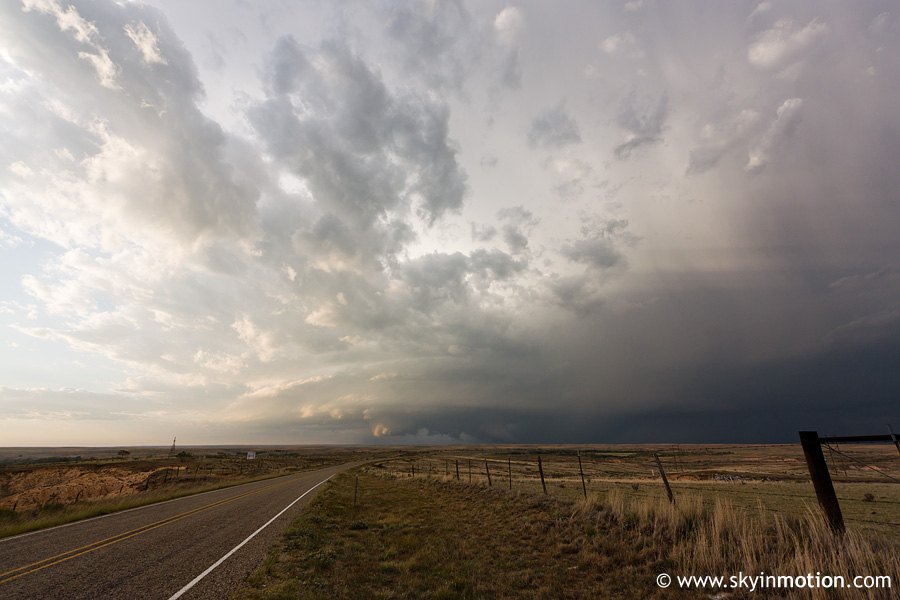
2011-10-12_7545_pano

2011-10-12_7532_pano
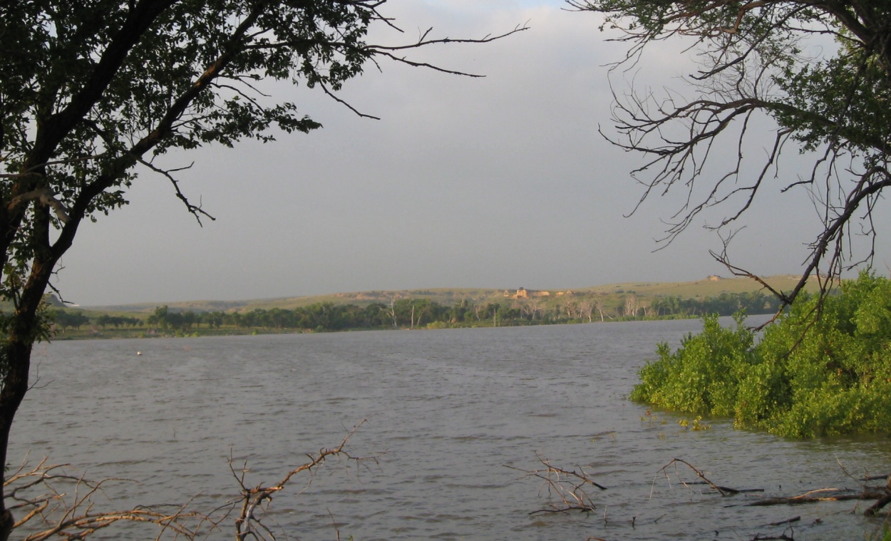
McClellan Creek Reservoir/National Grassland, TX 2471a

2011-10-12_7530

2011-10-12_7537

2011-10-12_7542

2011-10-11_7522

2011-10-11_7515
2011-10-11_7509

2015-04-12_3173
Topographic Map of Gray County, TX, USA
Find elevation by address:

Places in Gray County, TX, USA:
Places near Gray County, TX, USA:
Lefors
E 9th St, Lefors, TX, USA
Alanreed
Pampa
US-60, Pampa, TX, USA
1901 Tx-70
Groom
Mclean
300-306
Skellytown
Miami
1600 Lion St
1600 Lion St
1600 Lion St
Roberts County
Wheeler County
Wheeler
Briscoe
N Main St, Shamrock, TX, USA
Shamrock
Recent Searches:
- Elevation of Corso Fratelli Cairoli, 35, Macerata MC, Italy
- Elevation of Tallevast Rd, Sarasota, FL, USA
- Elevation of 4th St E, Sonoma, CA, USA
- Elevation of Black Hollow Rd, Pennsdale, PA, USA
- Elevation of Oakland Ave, Williamsport, PA, USA
- Elevation of Pedrógão Grande, Portugal
- Elevation of Klee Dr, Martinsburg, WV, USA
- Elevation of Via Roma, Pieranica CR, Italy
- Elevation of Tavkvetili Mountain, Georgia
- Elevation of Hartfords Bluff Cir, Mt Pleasant, SC, USA