Elevation of US 49, Hickory Ridge, AR, USA
Location: United States > Arkansas > Cross County > Hickory Ridge Township > Hickory Ridge >
Longitude: -90.985363
Latitude: 35.441498
Elevation: 72m / 236feet
Barometric Pressure: 100KPa
Elevation Map:
Satellite Map:
Related Photos:

Angelic
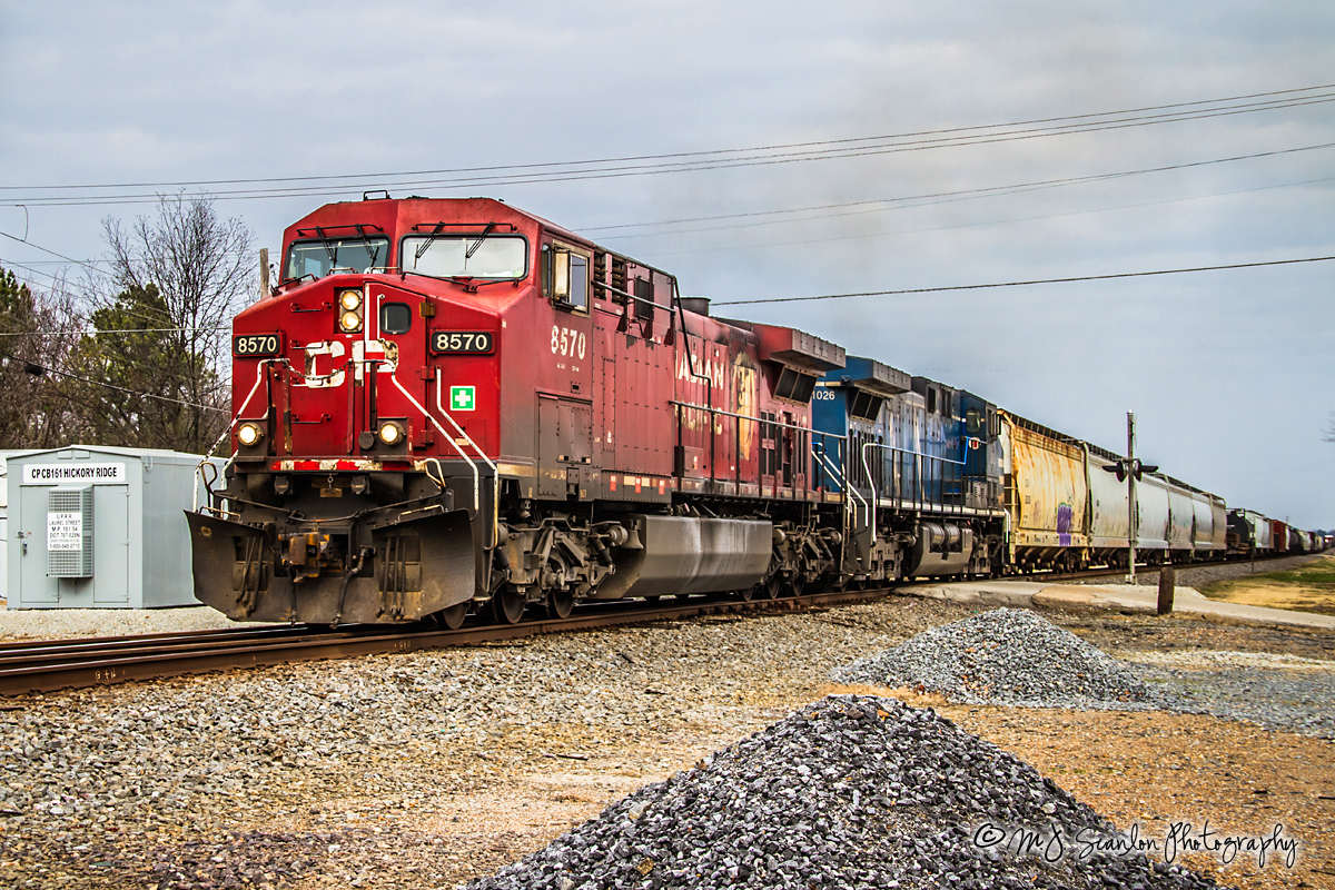
CP 8570 - GE AC44CW - UP Jonesboro Subdivision

Waldenburg Lutheran Church

Yesterday in Waldenburg. Is that a...

Pay phone
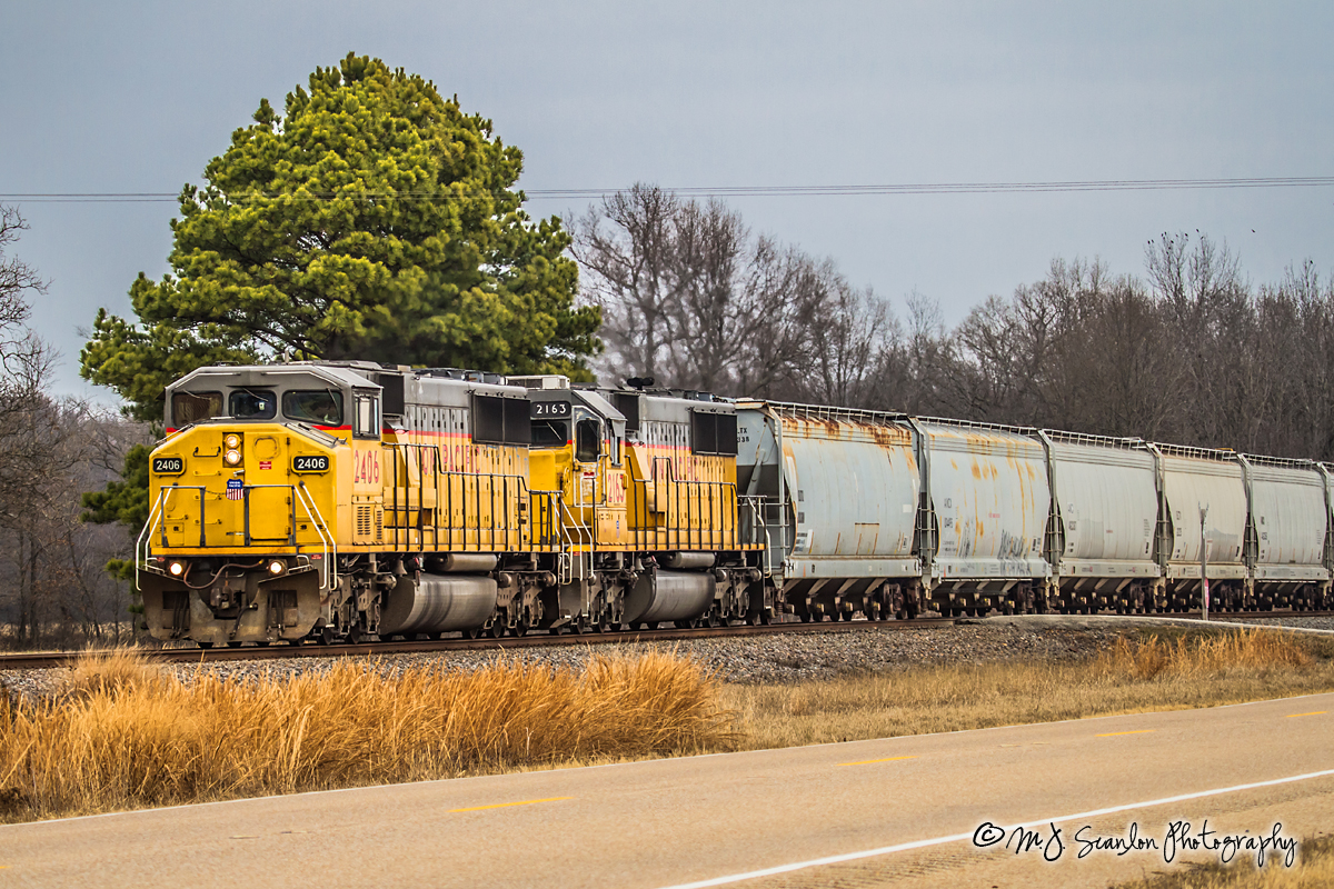
UP 2406 - EMD SD60M - UP Jonesboro Subdivision
Topographic Map of US 49, Hickory Ridge, AR, USA
Find elevation by address:

Places near US 49, Hickory Ridge, AR, USA:
Hickory Ridge Township
Hickory Ridge
Flora St, Hickory Ridge, AR, USA
Fisher
AR-, Fisher, AR, USA
Owen Township
Jackson Rd 44, Hickory Ridge, AR, USA
Cow Lake Township
AR-, Newport, AR, USA
Brushy Lake Township
Beedeville
AR-37, Beedeville, AR, USA
US 49, Hickory Ridge, AR, USA
Richwoods Township
Gaukson, Weiner, AR, USA
Jackson, Newport, AR, USA
Van Buren St, Weiner, AR, USA
Weiner
US 49, McCrory, AR, USA
State Hwy, Weiner, AR, USA
Recent Searches:
- Elevation of Corso Fratelli Cairoli, 35, Macerata MC, Italy
- Elevation of Tallevast Rd, Sarasota, FL, USA
- Elevation of 4th St E, Sonoma, CA, USA
- Elevation of Black Hollow Rd, Pennsdale, PA, USA
- Elevation of Oakland Ave, Williamsport, PA, USA
- Elevation of Pedrógão Grande, Portugal
- Elevation of Klee Dr, Martinsburg, WV, USA
- Elevation of Via Roma, Pieranica CR, Italy
- Elevation of Tavkvetili Mountain, Georgia
- Elevation of Hartfords Bluff Cir, Mt Pleasant, SC, USA