Elevation of US-12, Orofino, ID, USA
Location: United States > Idaho > Clearwater County > Orofino >
Longitude: -116.32533
Latitude: 46.499882
Elevation: 302m / 991feet
Barometric Pressure: 98KPa
Elevation Map:
Satellite Map:
Related Photos:
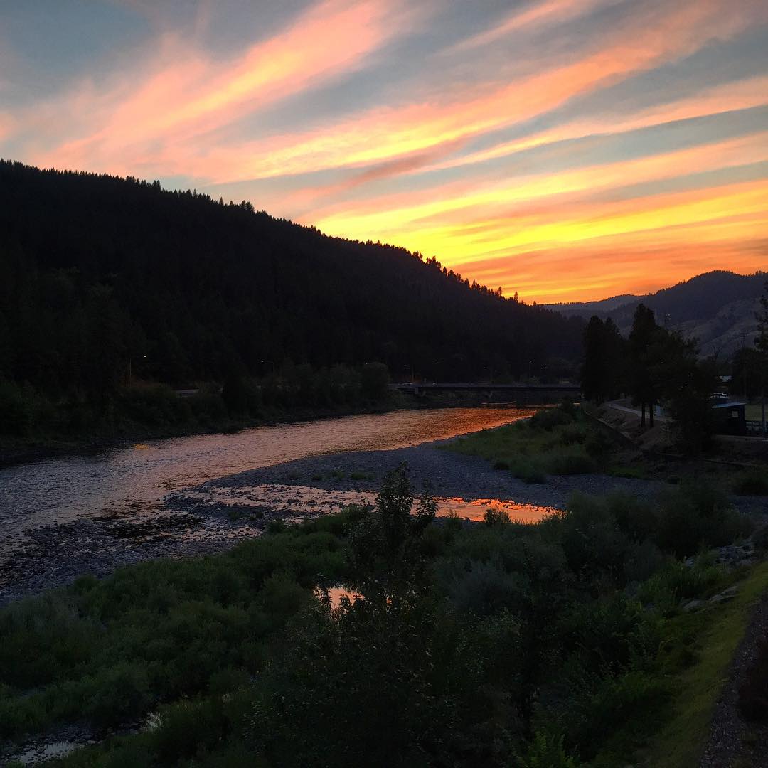
Orofino sunset... ???? #sunset #view #orofino #idaho #usa #longweekend #motorcycleroadtrip #ontheroad #lifeonthemove #livetotravel #livetoride #lifeisgood

Train Crossing
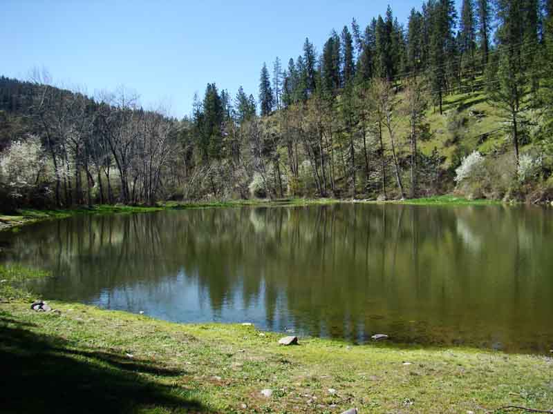
A view of Tunnel Pond

Dworshak Dam
Room with a view in Orofino, Idaho
Landing the kite 2
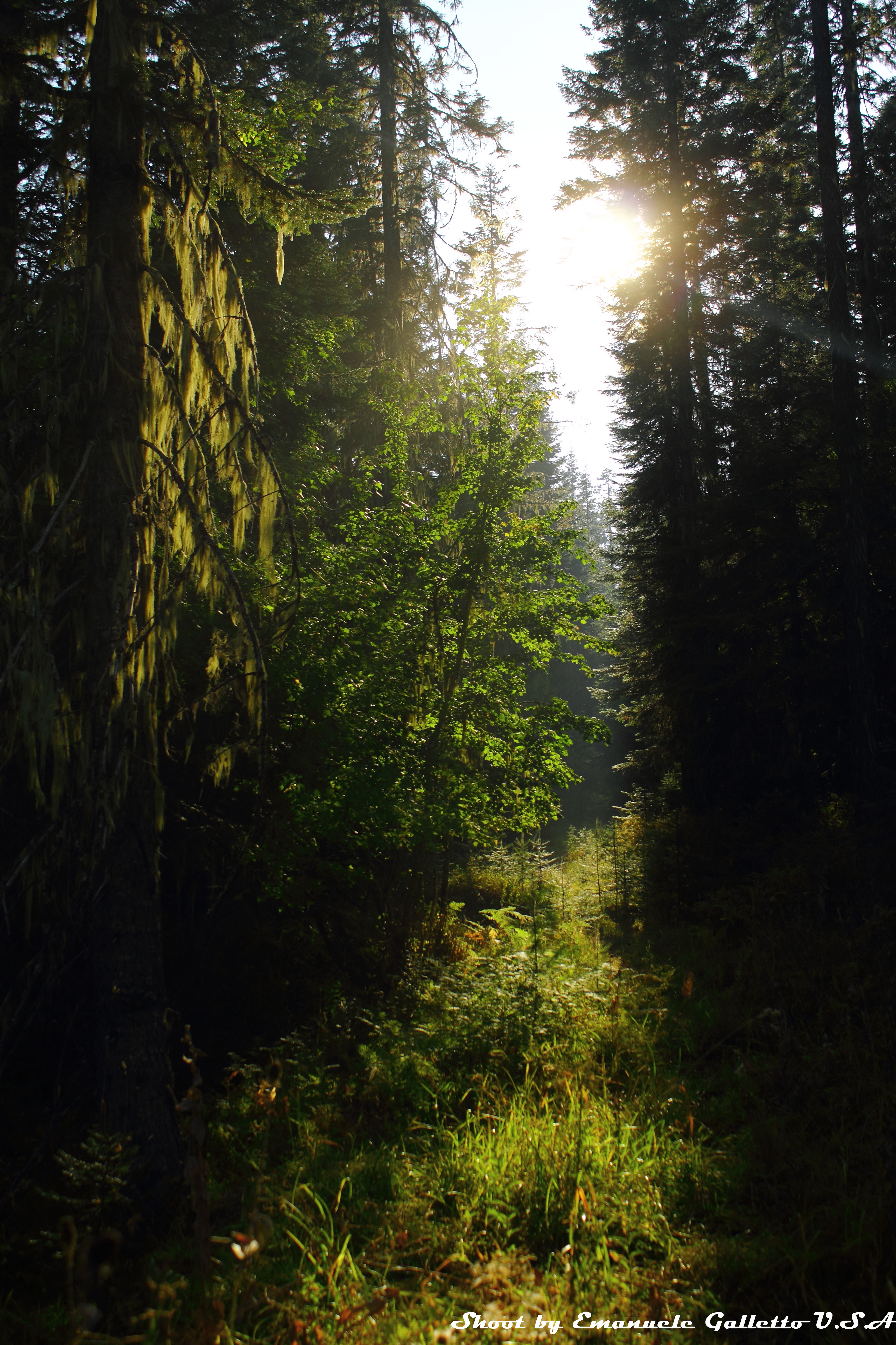
Woods II
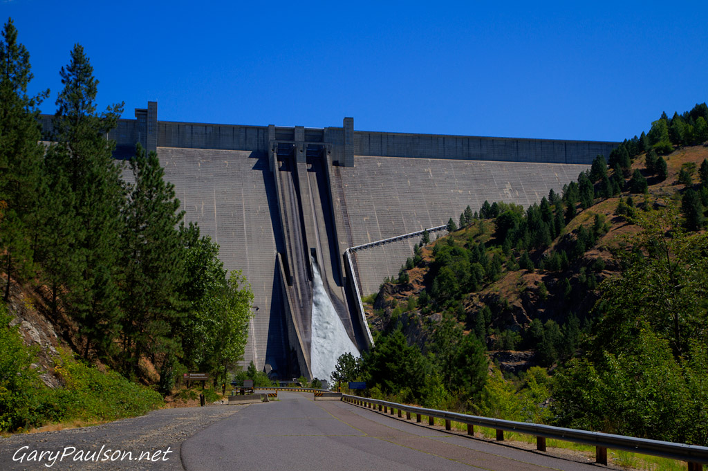
Dworshak Dam

Dent Bridge
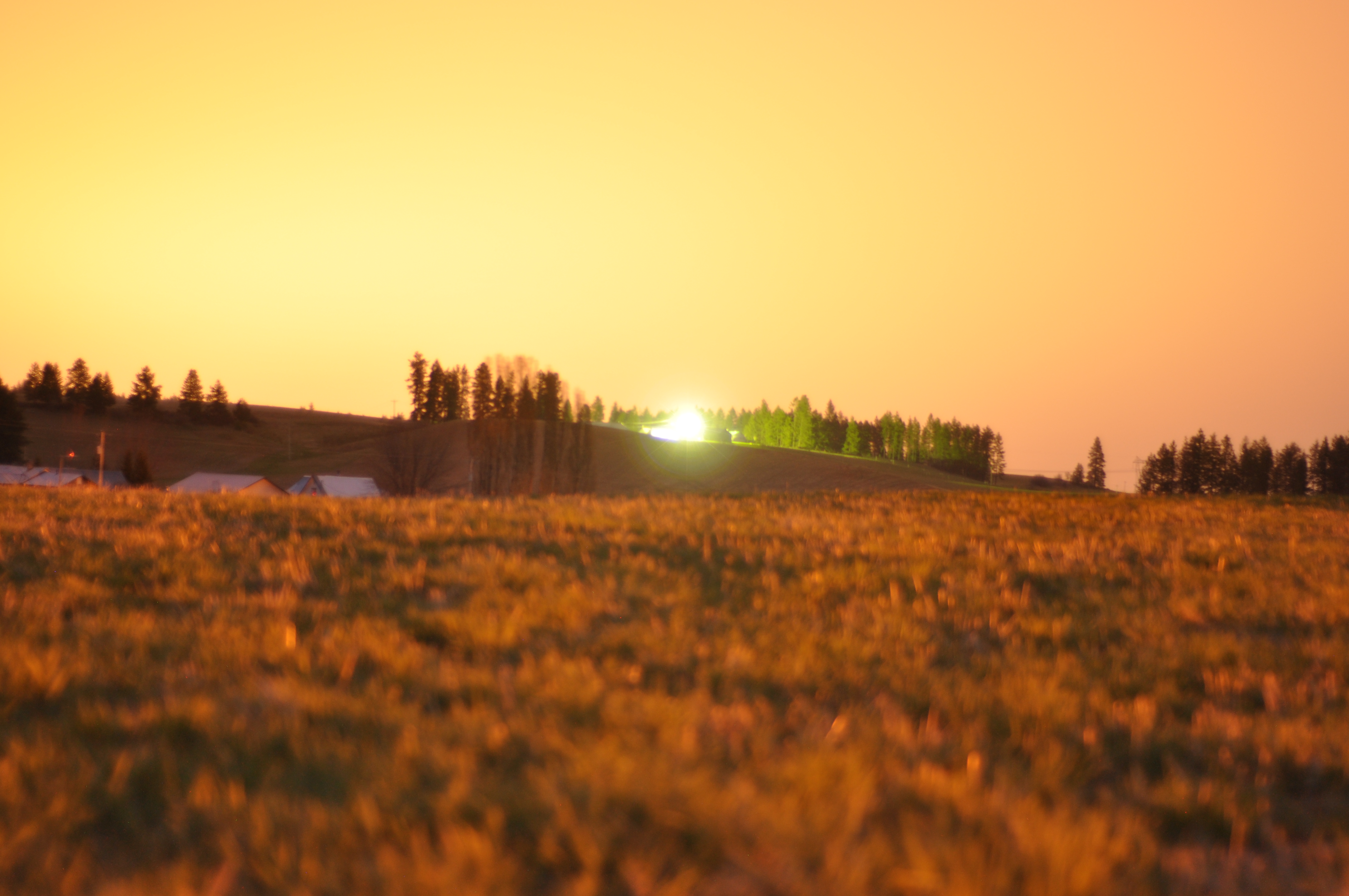
Long exposures, pre-sunrise
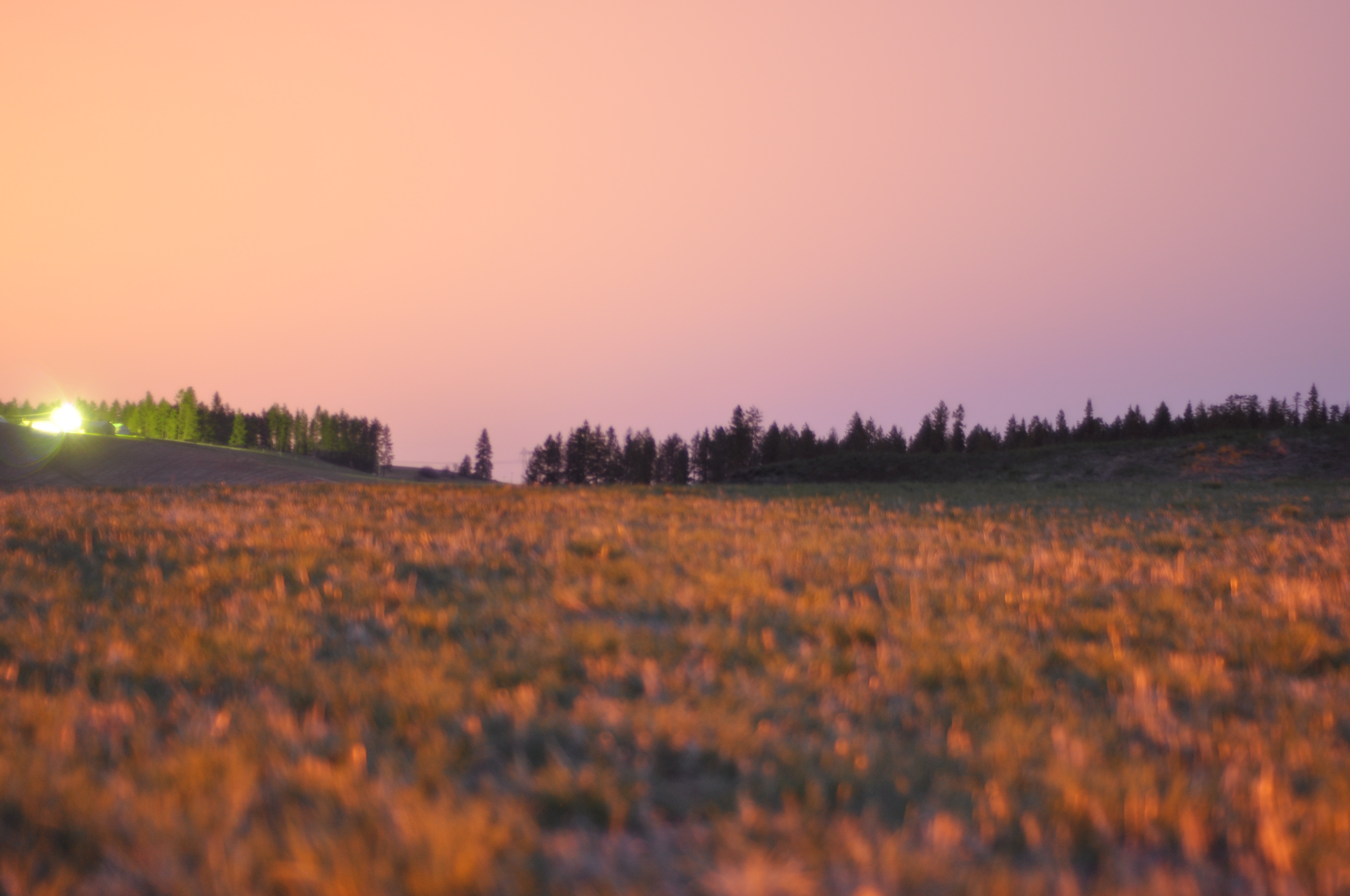
Long exposures, pre-sunrise

Fiery pink clouds as twilight falls on Orofino, ID....

Dent Bridge

Up the road

Perfect end to the day
Teakean Butte

Engineer recruitment program--clearing timber
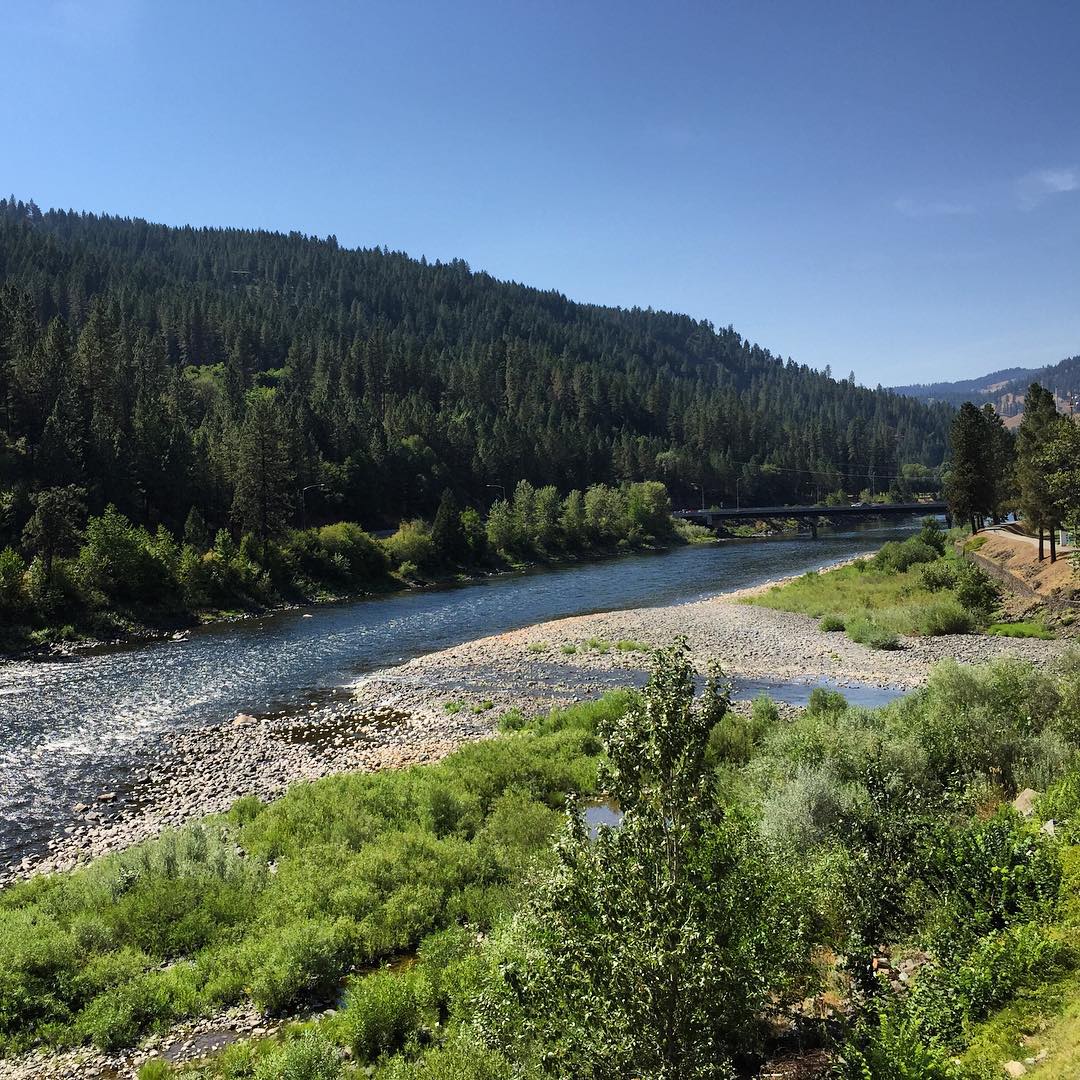
Clearwater river
Western Waters Idaho
Dworshak Dam
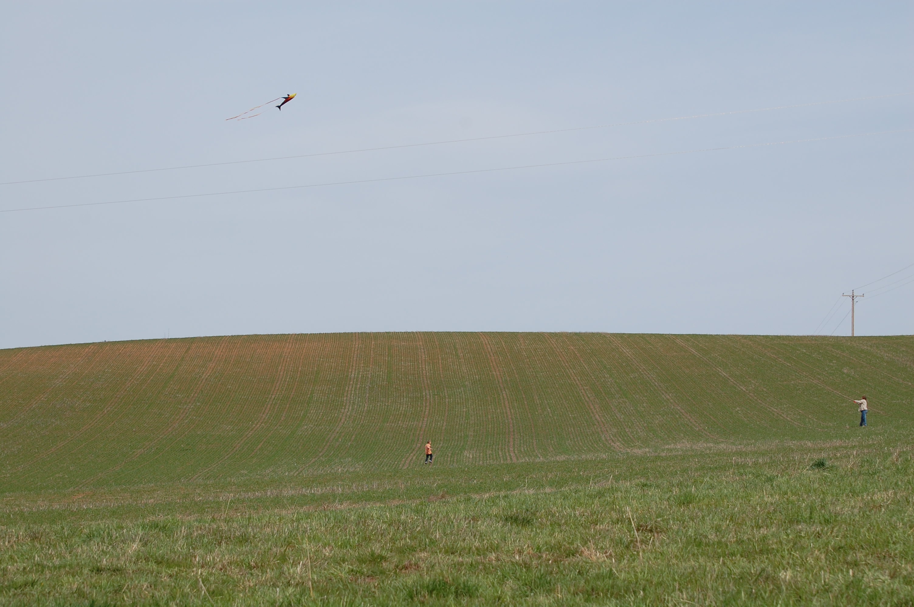
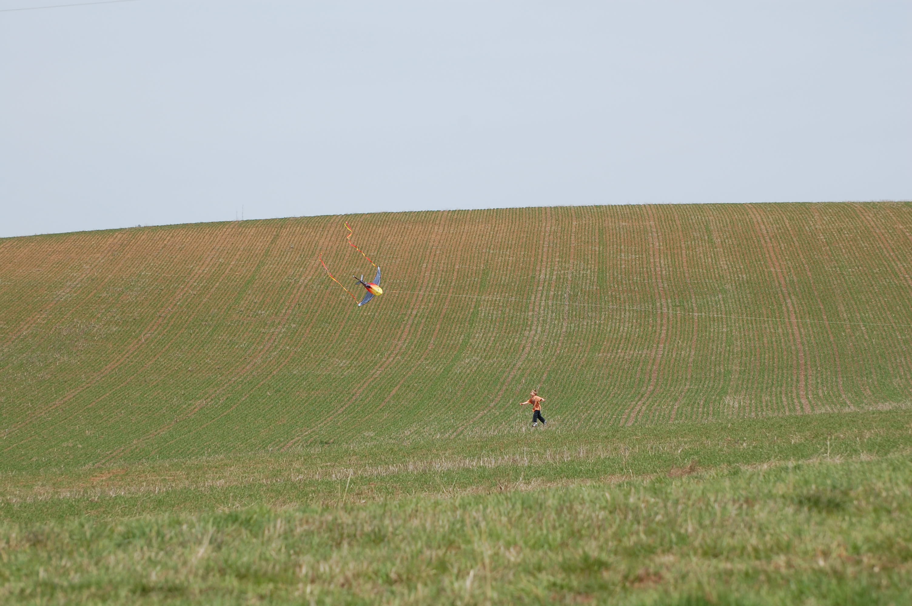
Flying kites was also on the agenda
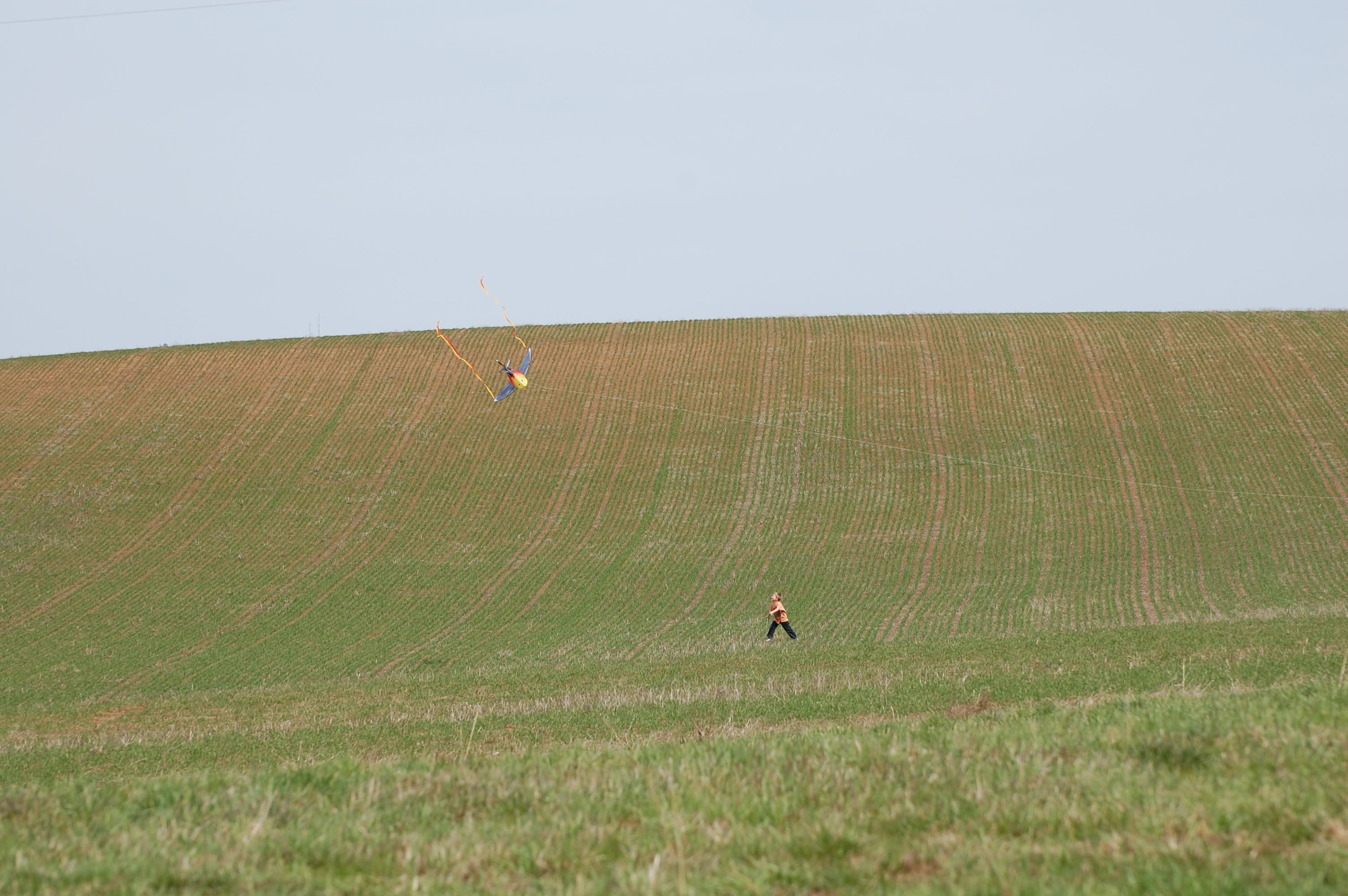
Landing the kite 1
Shooting line from the tree row
Topographic Map of US-12, Orofino, ID, USA
Find elevation by address:

Places near US-12, Orofino, ID, USA:
Clearwater Fish Hatchery - Idaho Fish And Game
395 Old Ahsahka Grade
1397 Sunnyside Loop
62 Scenic Ln
5915 Lake View Rd
2971 Lake View Rd
Lake View Road
Orofino
Lower Fords Creek Road
Lower Fords Creek Road
Dent Bridge Road
744 High Valley Rd
Huckleberry Butte, Orofino, ID, USA
1499 Dent Bridge Rd
Dent Bridge Rd, Orofino, ID, USA
Huckleberry Butte Road
7481 Upper Fords Creek Rd
Johnson Mill Rd, Orofino, ID, USA
Black Bear Road
115 Mountain Lovers Ln
Recent Searches:
- Elevation of Corso Fratelli Cairoli, 35, Macerata MC, Italy
- Elevation of Tallevast Rd, Sarasota, FL, USA
- Elevation of 4th St E, Sonoma, CA, USA
- Elevation of Black Hollow Rd, Pennsdale, PA, USA
- Elevation of Oakland Ave, Williamsport, PA, USA
- Elevation of Pedrógão Grande, Portugal
- Elevation of Klee Dr, Martinsburg, WV, USA
- Elevation of Via Roma, Pieranica CR, Italy
- Elevation of Tavkvetili Mountain, Georgia
- Elevation of Hartfords Bluff Cir, Mt Pleasant, SC, USA